AMAZON SUSTAINABLE LANDSCAPES PROGRAM

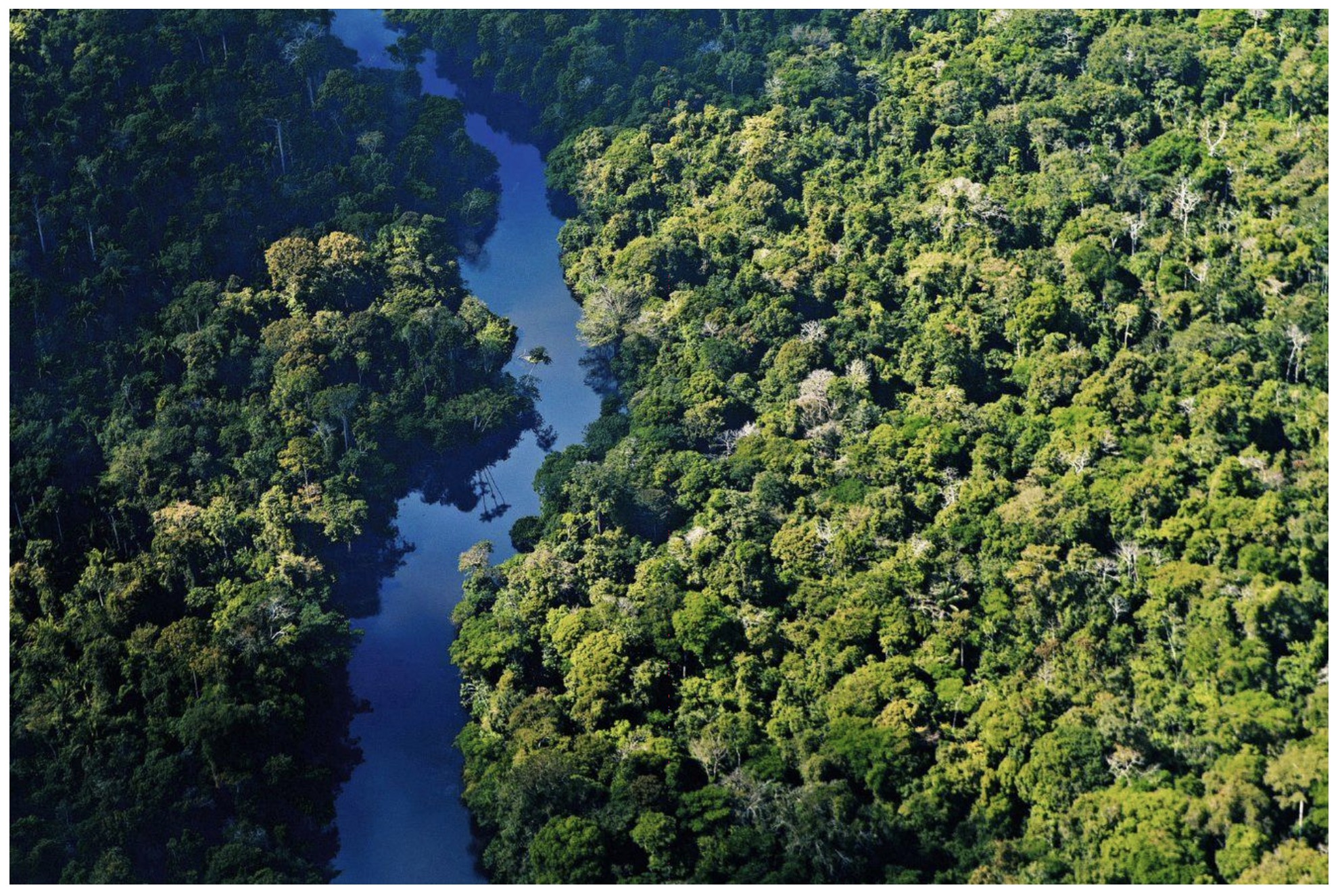
The Amazon Sustainable Landscapes Program (ASL Program) supported by the Global Environment Facility (GEF) is a regional Impact Program with the goal to protect globally significant biodiversity and implement policies to foster sustainable land use and restoration of native vegetation cover in the Amazon.
The Program comprises four national projects executed by Brazil, Colombia, and Peru and a regional coordinating project. Together, the program aims to strengthen management effectiveness of almost 65 million hectares of Protected Areas, facilitate the creation of 4.3 million hectares of new protected areas, promote sustainable practices in 11 million hectares of productive landscapes, restore 35,000 hectares of forests, and support actions that help mitigate emissions by 166 million metric tons of carbon dioxide equivalent.
The ASL program is exploring the use of geospatial tools and maps to support project teams and practitioners in the region by offering a comprehensive range of resources on one interactive platform. This ASL interactive data platform categorizes themes such as: Economic, Environment, Climate, Water, Land, Natural Disasters, and others, to allow users to easily navigate, access and visualize data available to make decisions on reducing threats and improving capacity to protect Amazon’s natural wealth. If used appropriately, data can lead to better project outcomes as well as have a positive impact on the environment and the society. We encourage you to use the data, interact with the various maps and tools available, share with us other relevant maps to include in the portal, and support our mission to protect the Amazon.
Provide suggestions, feedback and improvements (including suggestions on further maps to be included) by emailing us at asl-info@worldbank.org. Also join our community online to catch the latest news, updates and learning events.
The ASL program is led by the World Bank and for each national project, GEF implementing agencies include World Wide Fund for Nature (WWF), and United Nations Development Programme (UNDP) and the World Bank.
