×
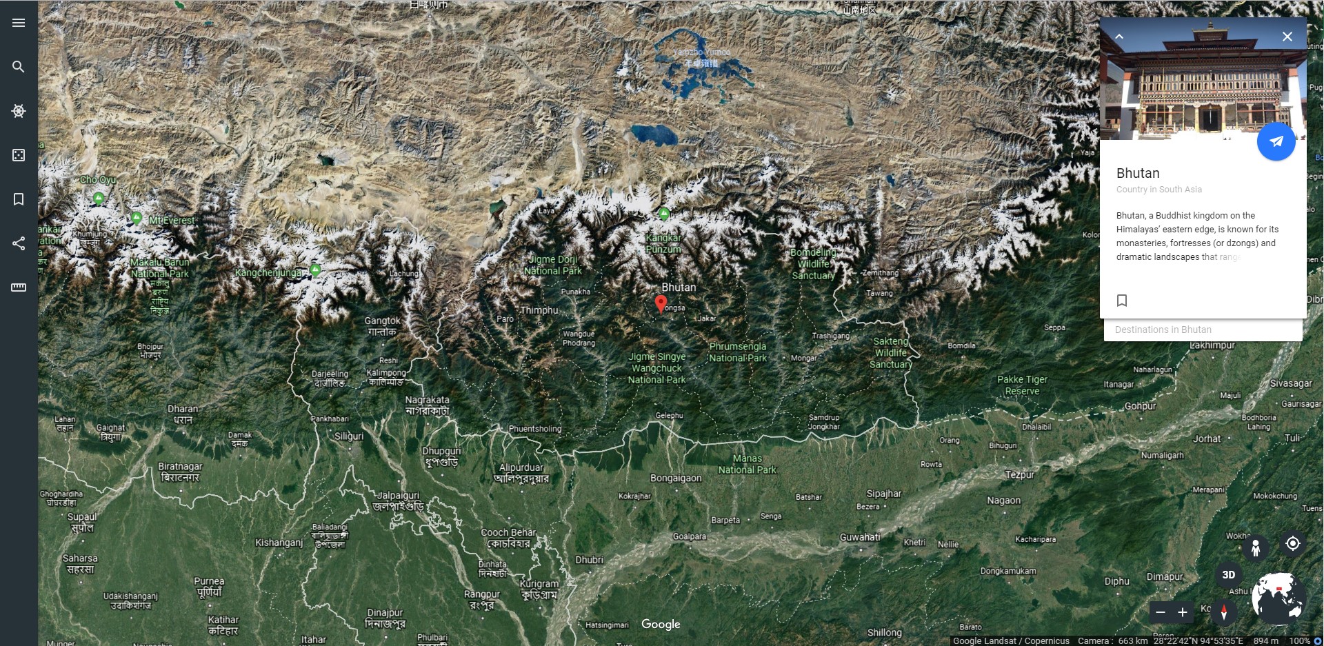
BHUTAN WATER E-ATLAS
All
Environmental
Social
Economic
Climate
Water
Disasters
Water Transition
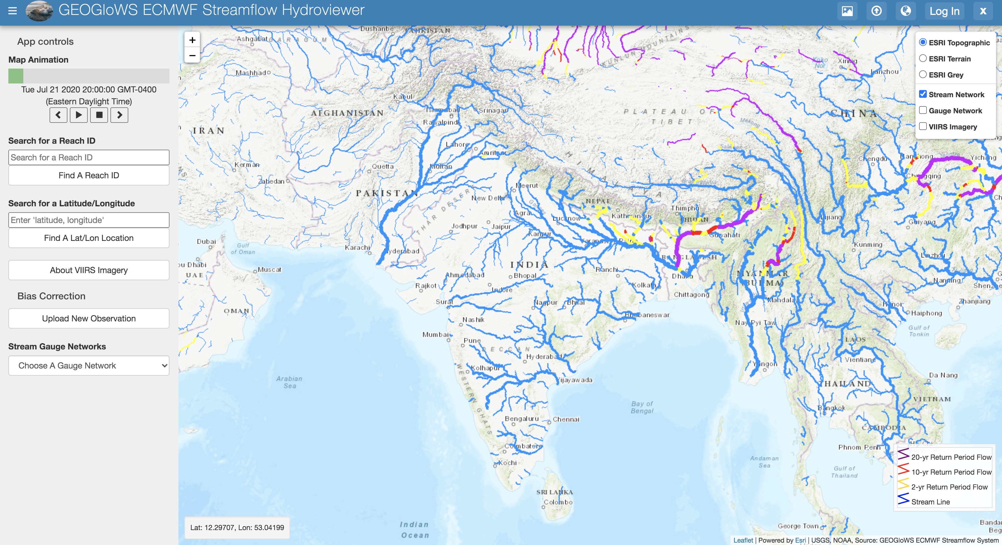
GEOGLOWS-ECMWF Streamflow Estimation
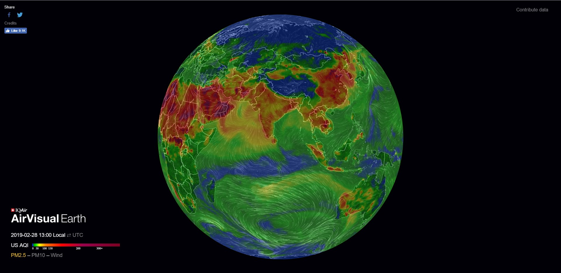
Air Quality
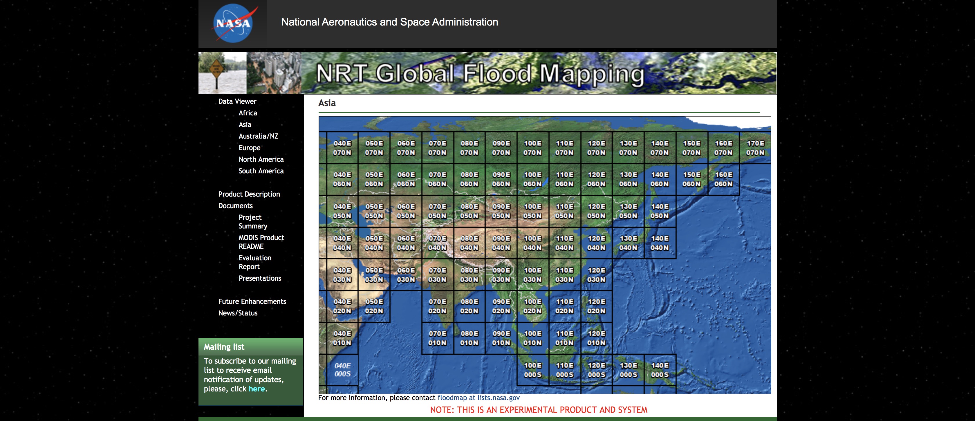
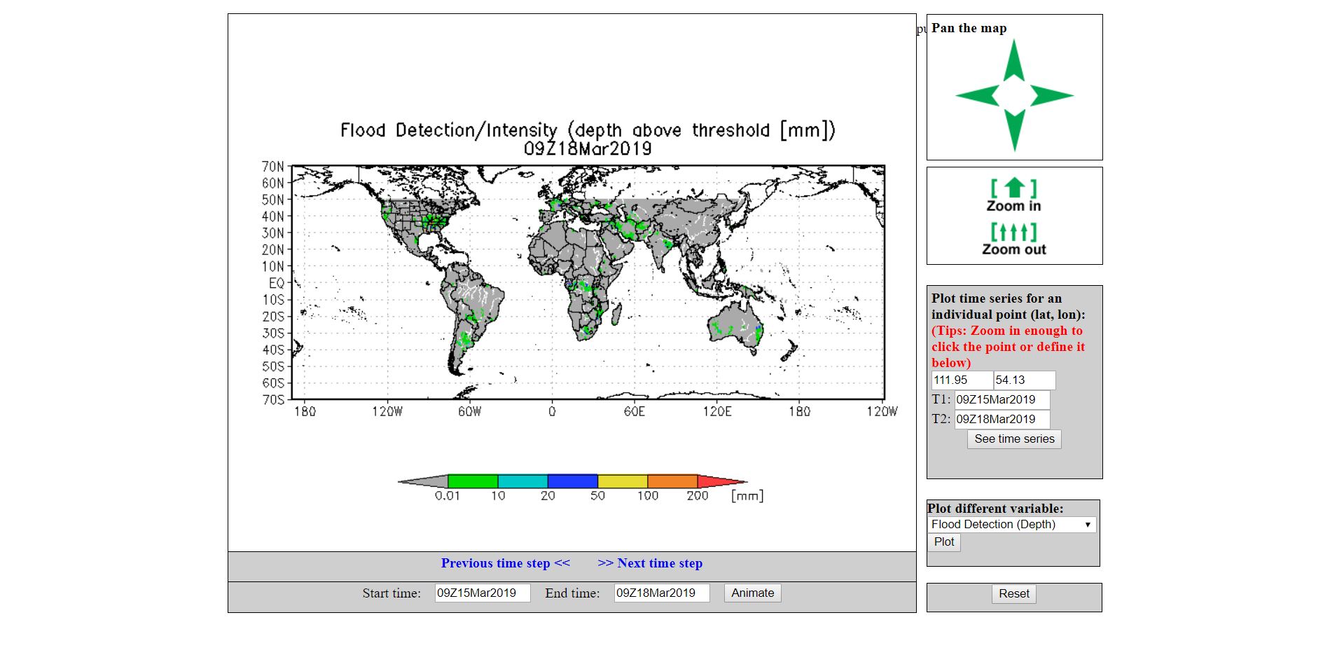
MODIS Flood Explorer
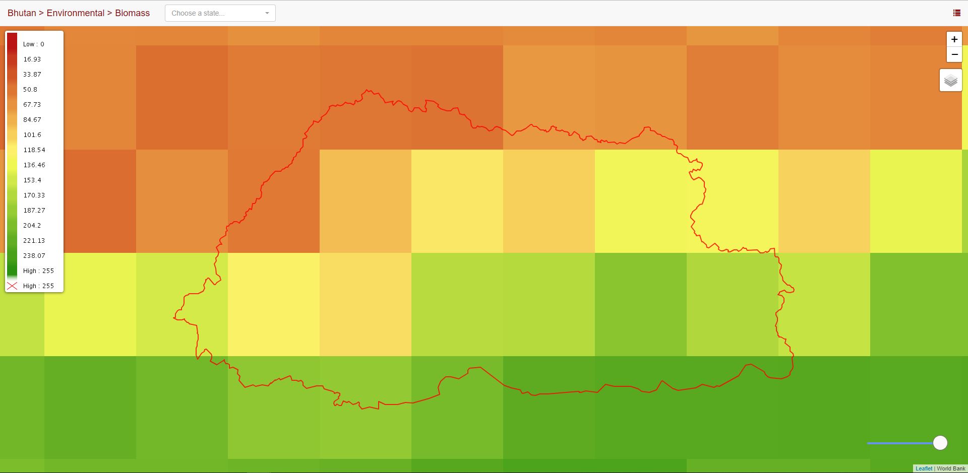
Biomass
Fire Data
MIT Trade Atlas
Google Earth Data
Renewable Energy Data
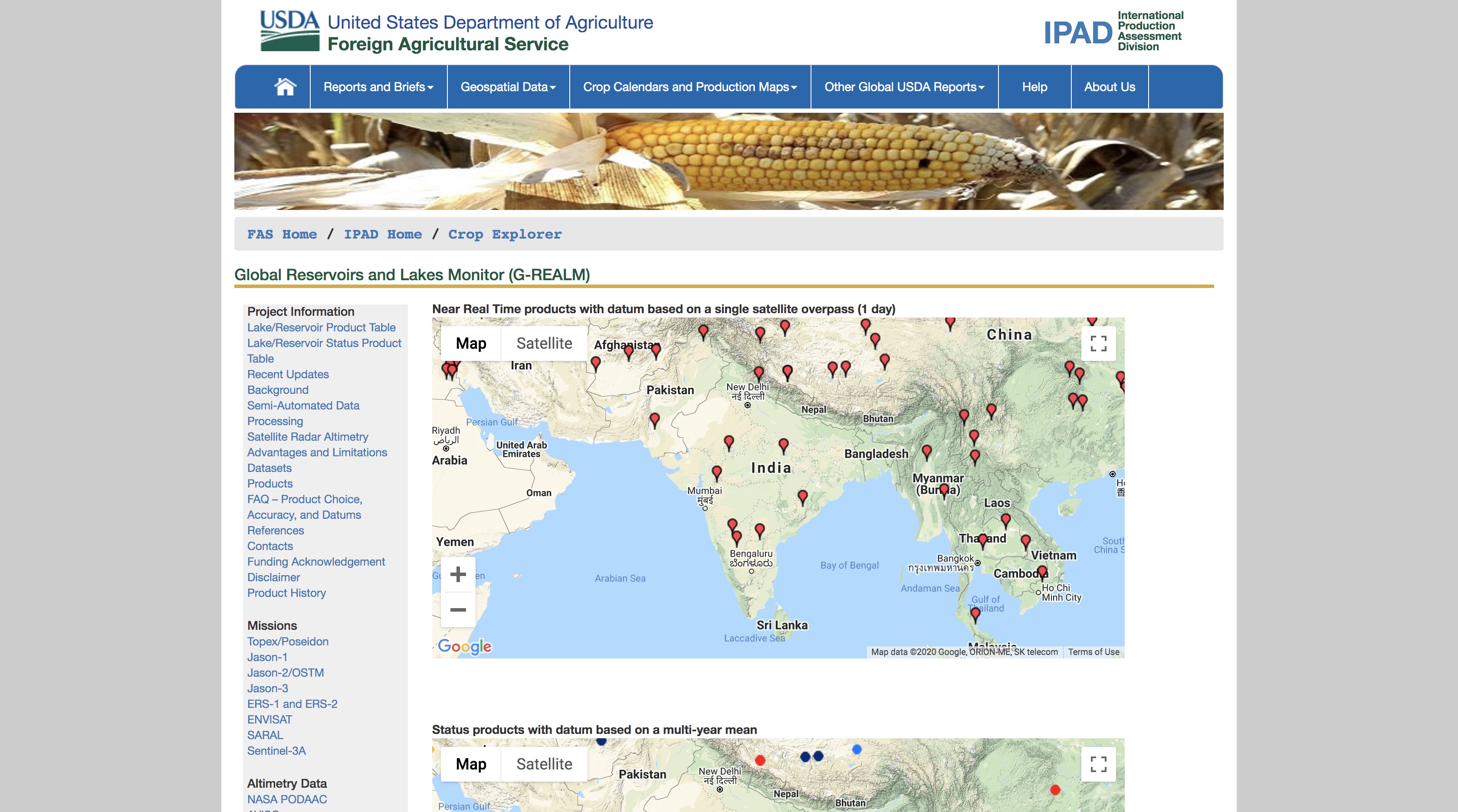
Google Data
Earth Engine Timelapse
GEOSS Portal
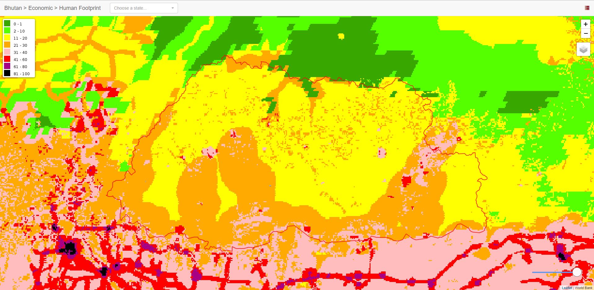
Human Footprint
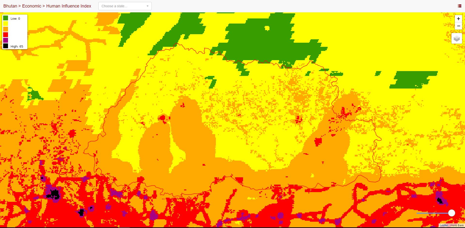
Human Influence Index
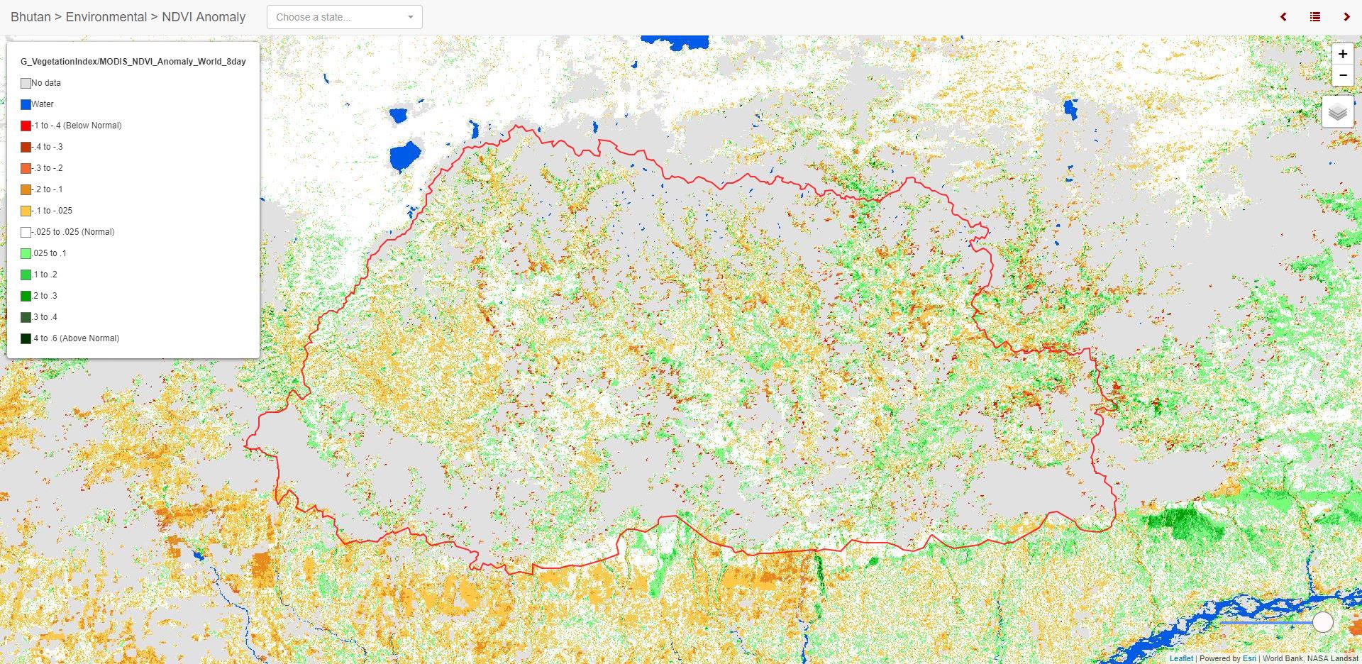
NDVI Anomalies
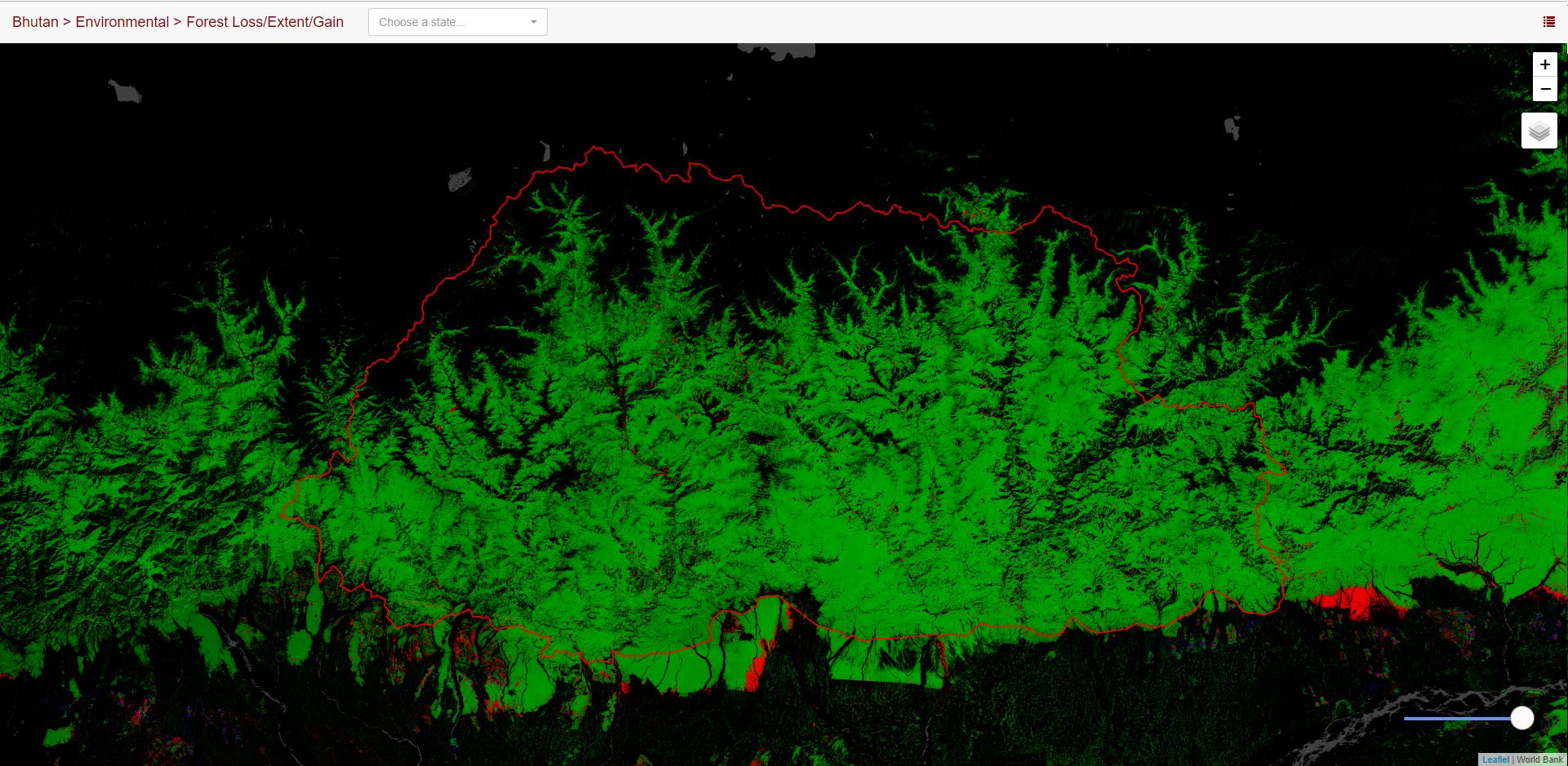
Forest Cover / Loss / Gain
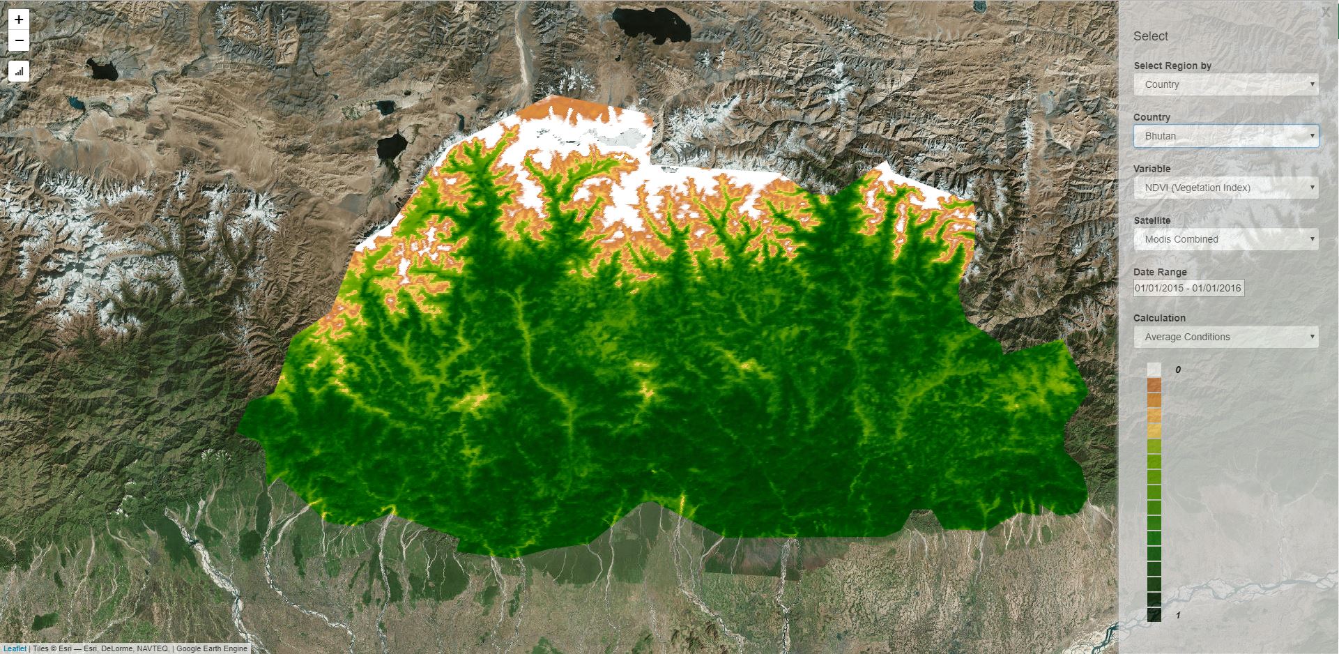
Earth Engine NDVI Analysis
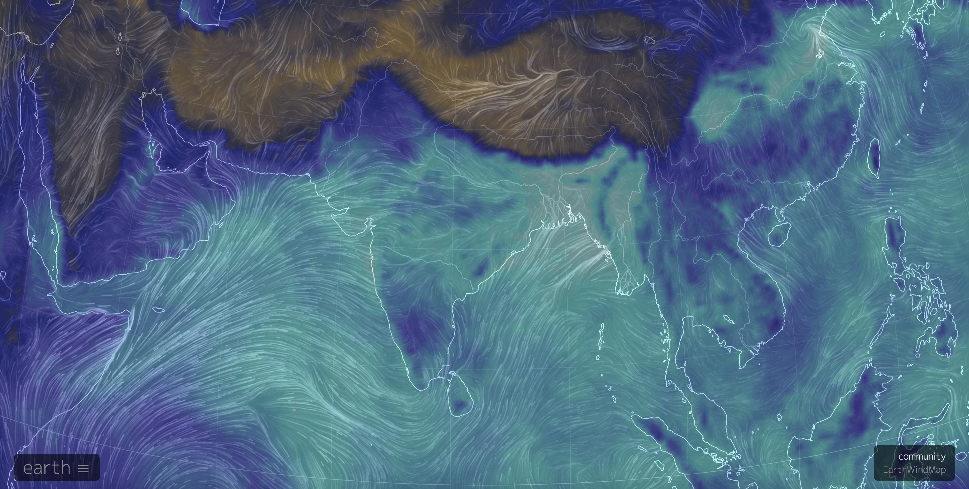
Earth Wind Map
Lake Levels
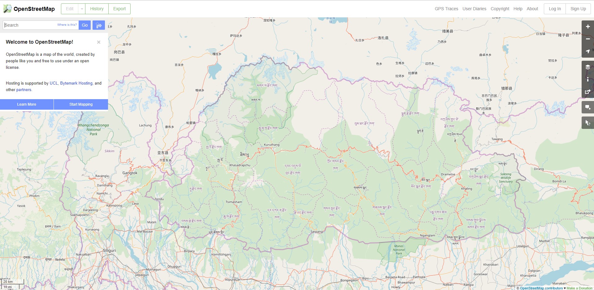
Open Street Map Data
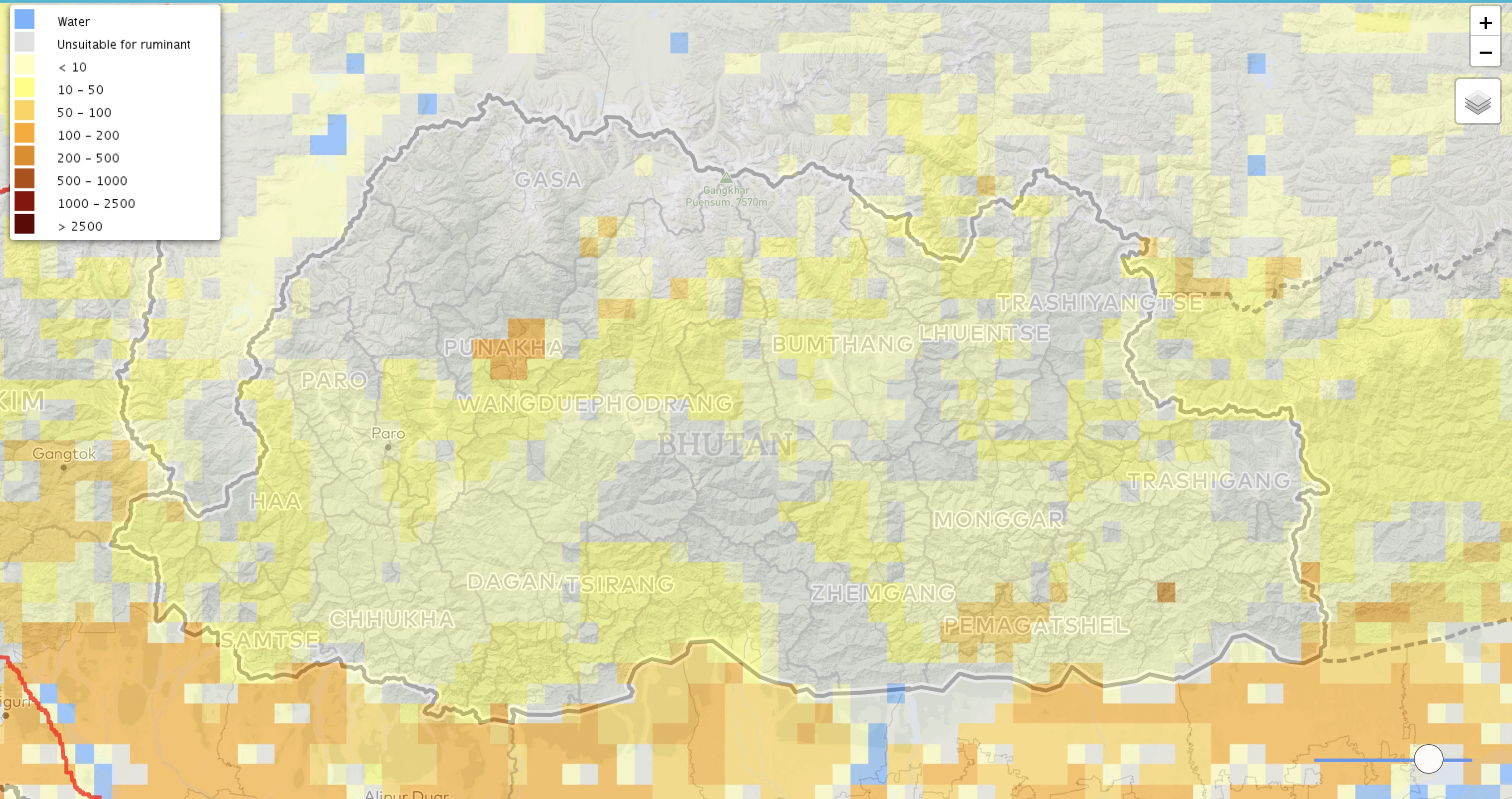
Livestock Density
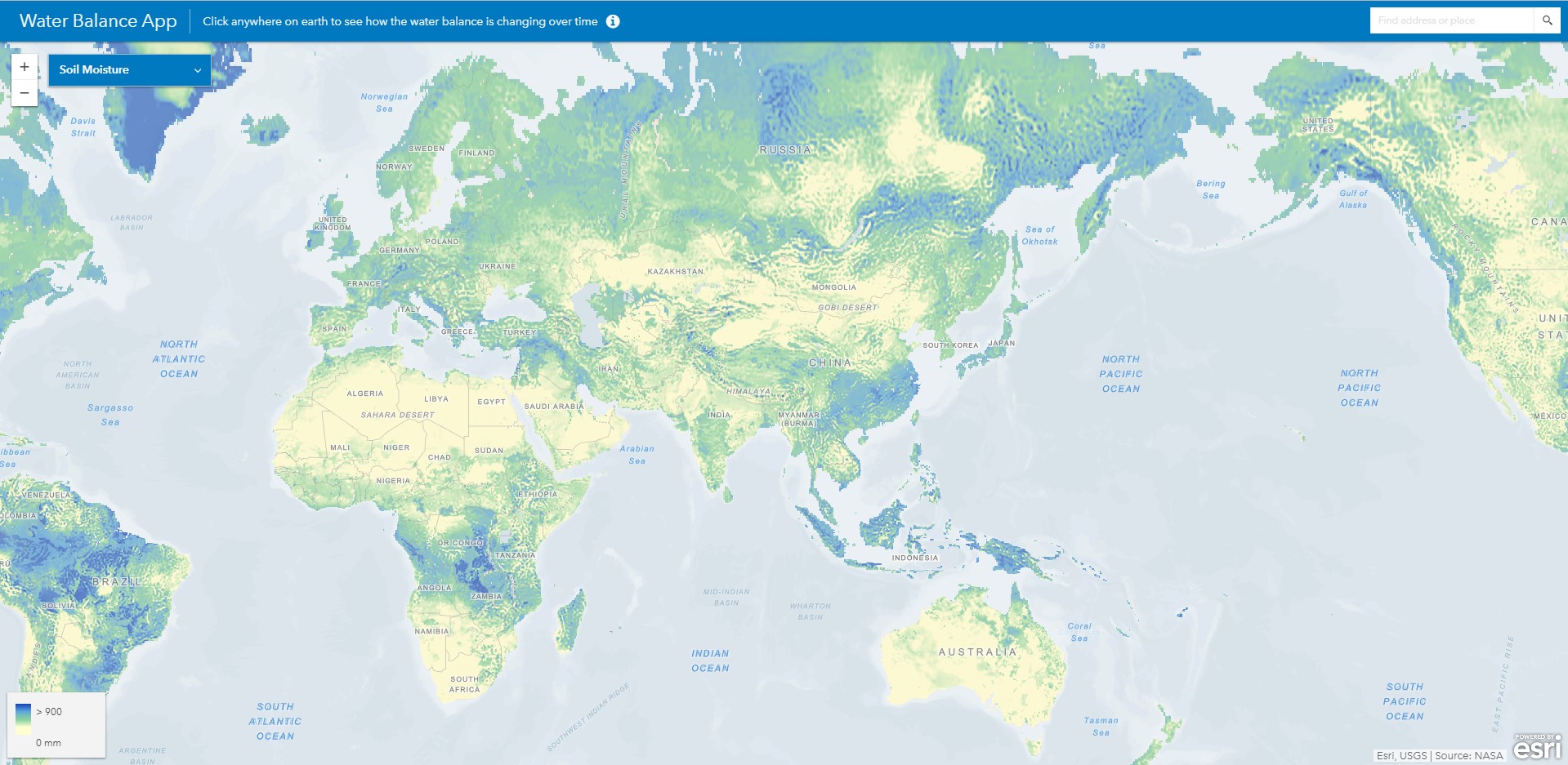
ESRI Water Balance
Water Security Dashboard
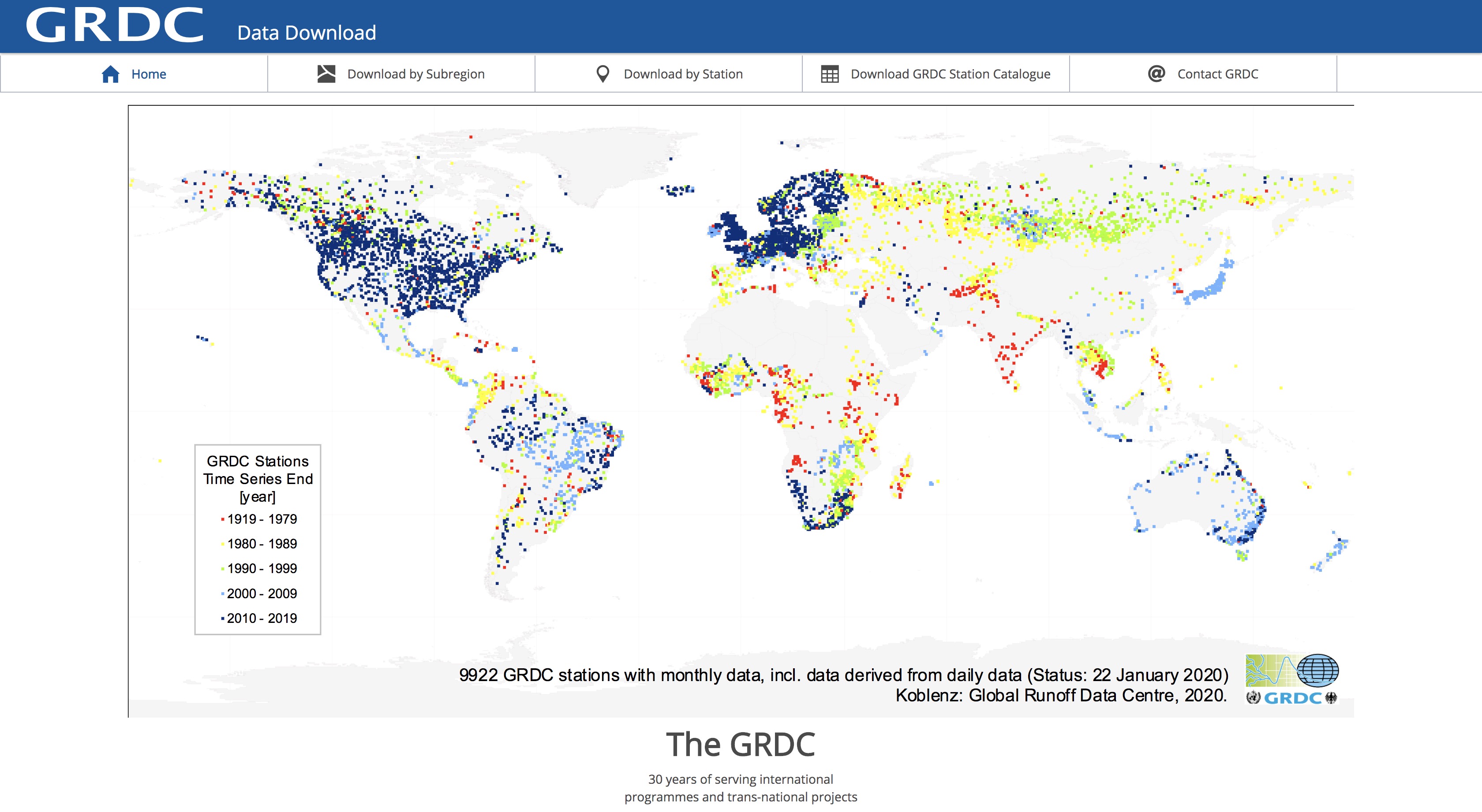
GRDC Stations
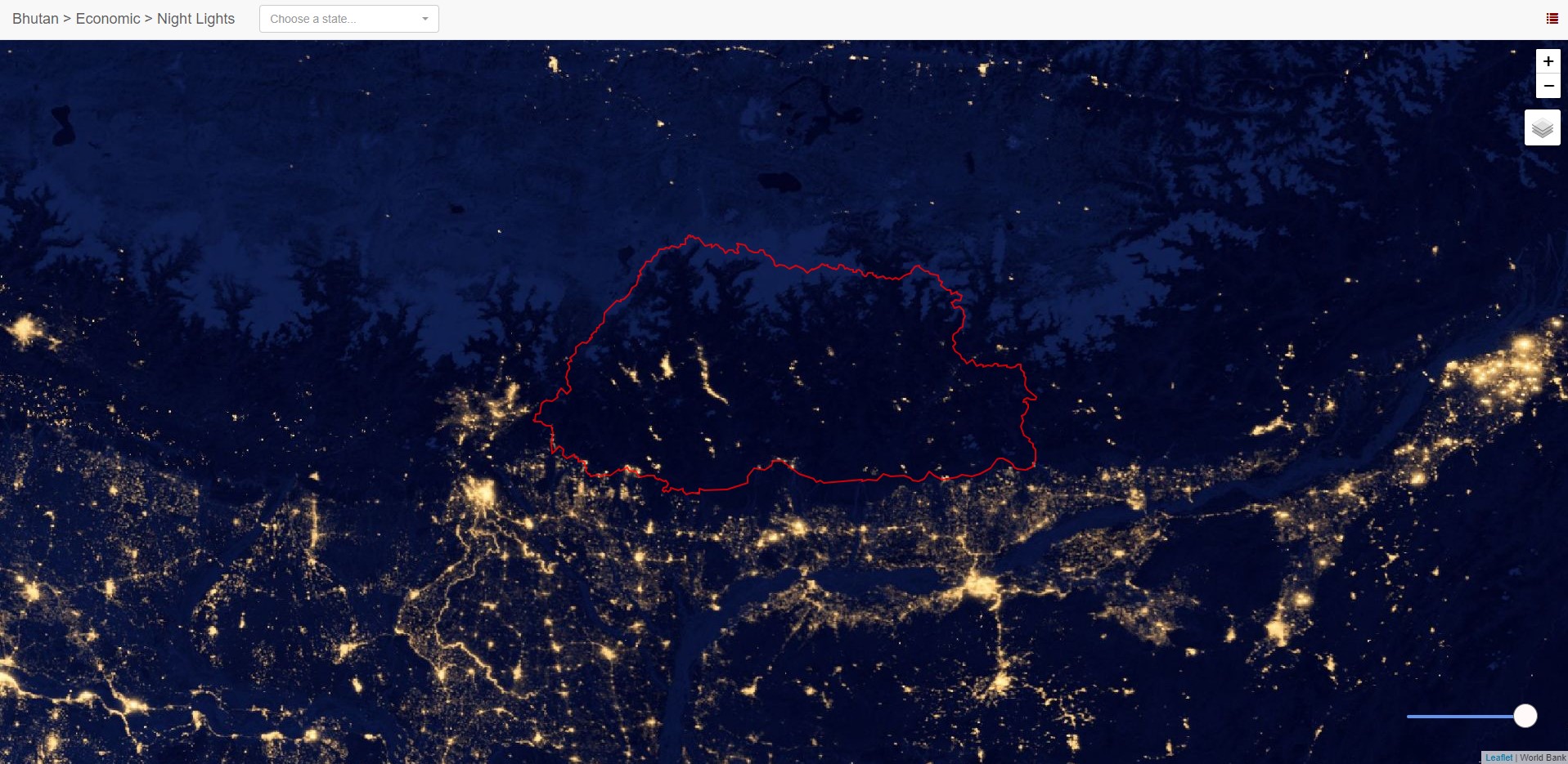
Night Lights
Watershed Mapper
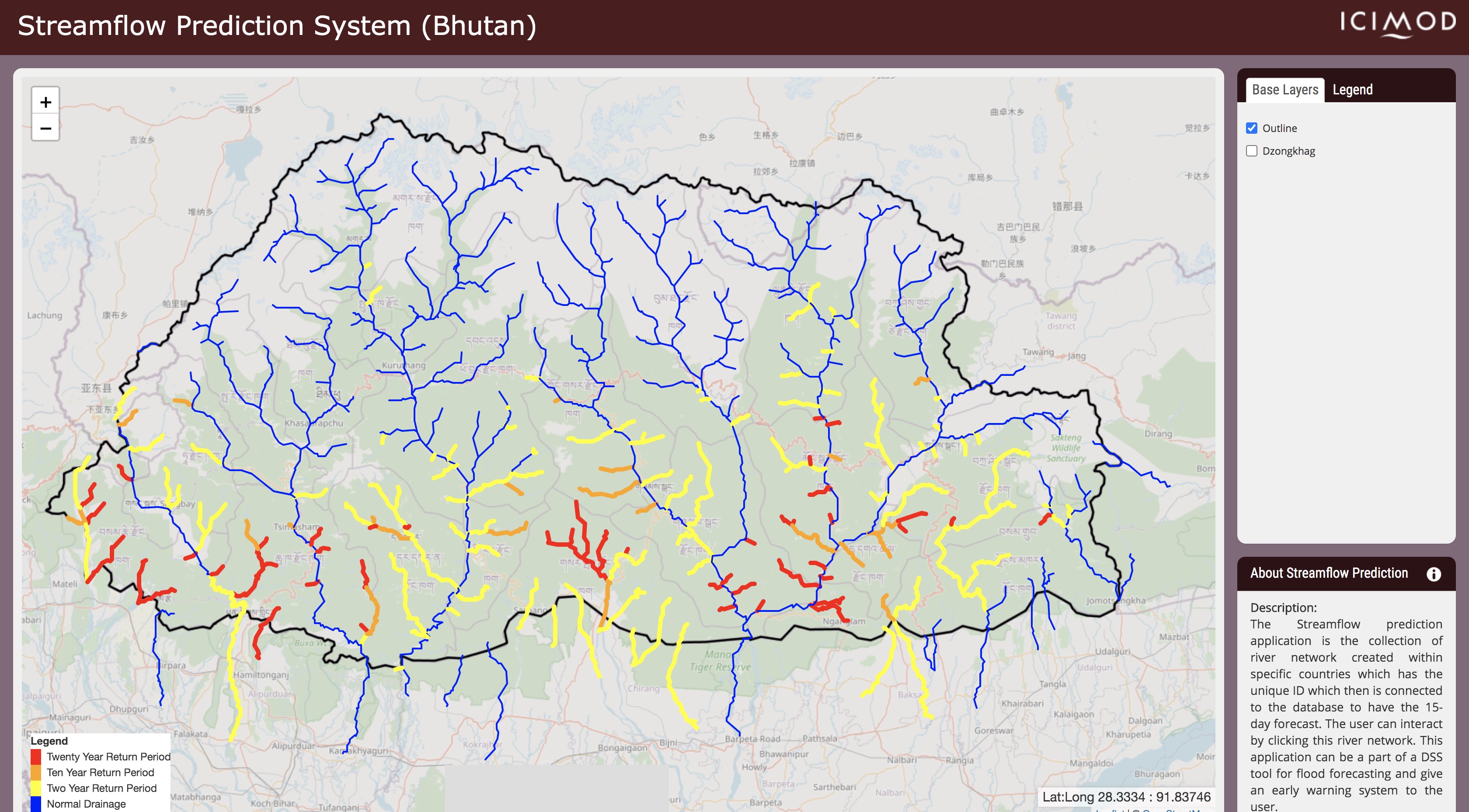
Streamflow Estimation (ICIMOD)
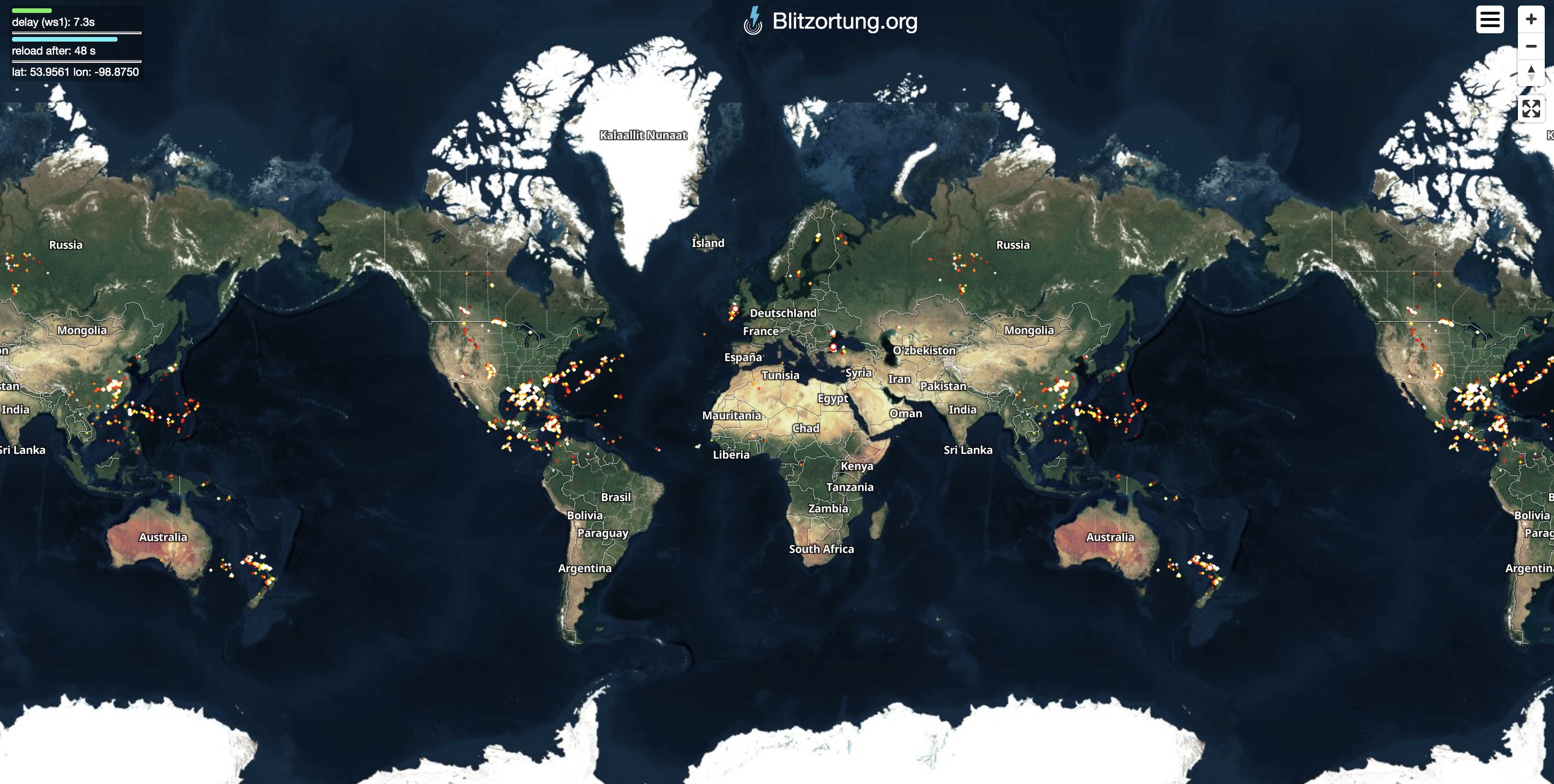
Blitzortung: Lightening Data
Sea Surface Temperature
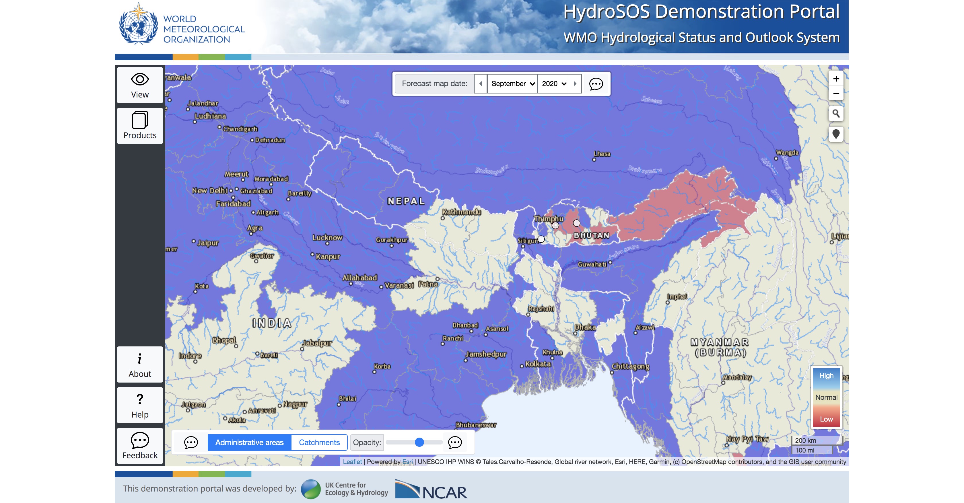
HydroSOS (WMO)
Bhutan NCHM
Windy
Google Earth Engine Datasets
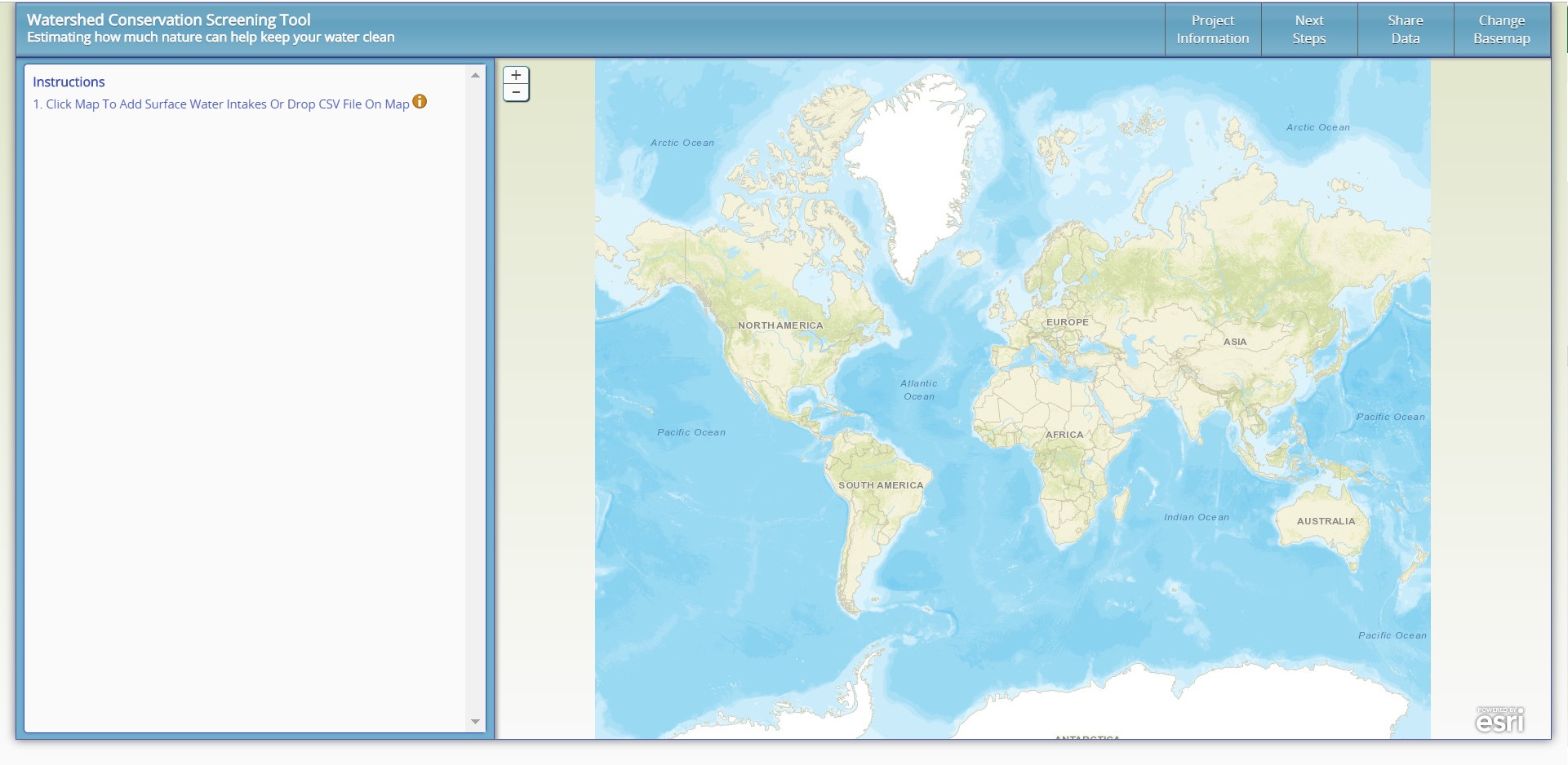
Illustrative Watershed Tool
Bhutan NECS
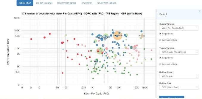
IWMI Water Data Portal
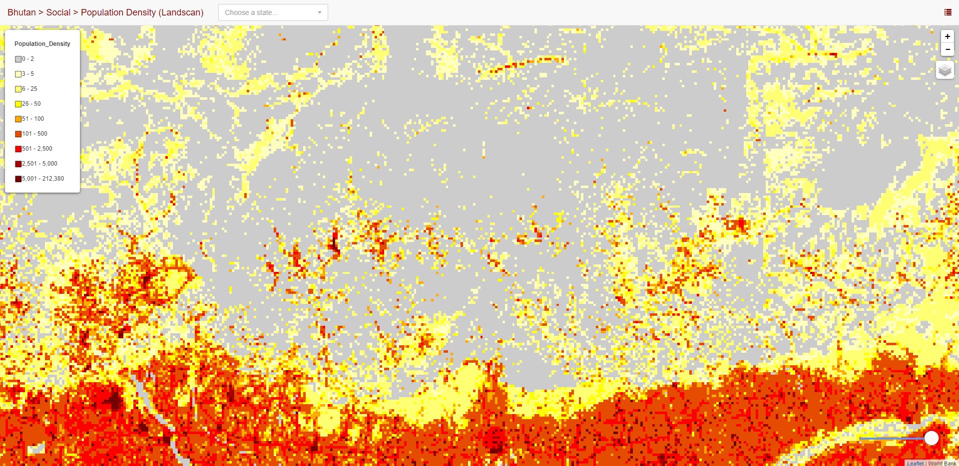
Population (Landscan)
UN Data
MODIS Layers
EarthExplorer
Flood Observatory
NASA WorldView
Seasonal Climate Forecasts
DFO Flood App
Himawari Animations
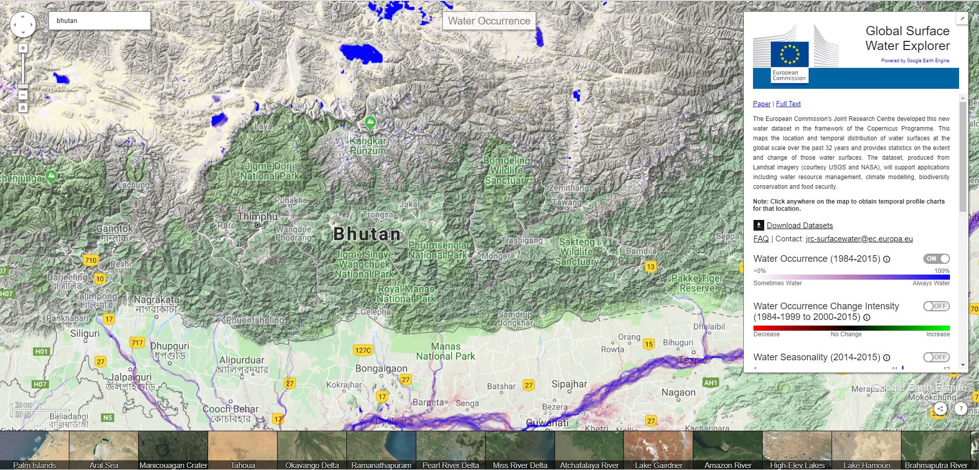
JRC Surface Water Explorer
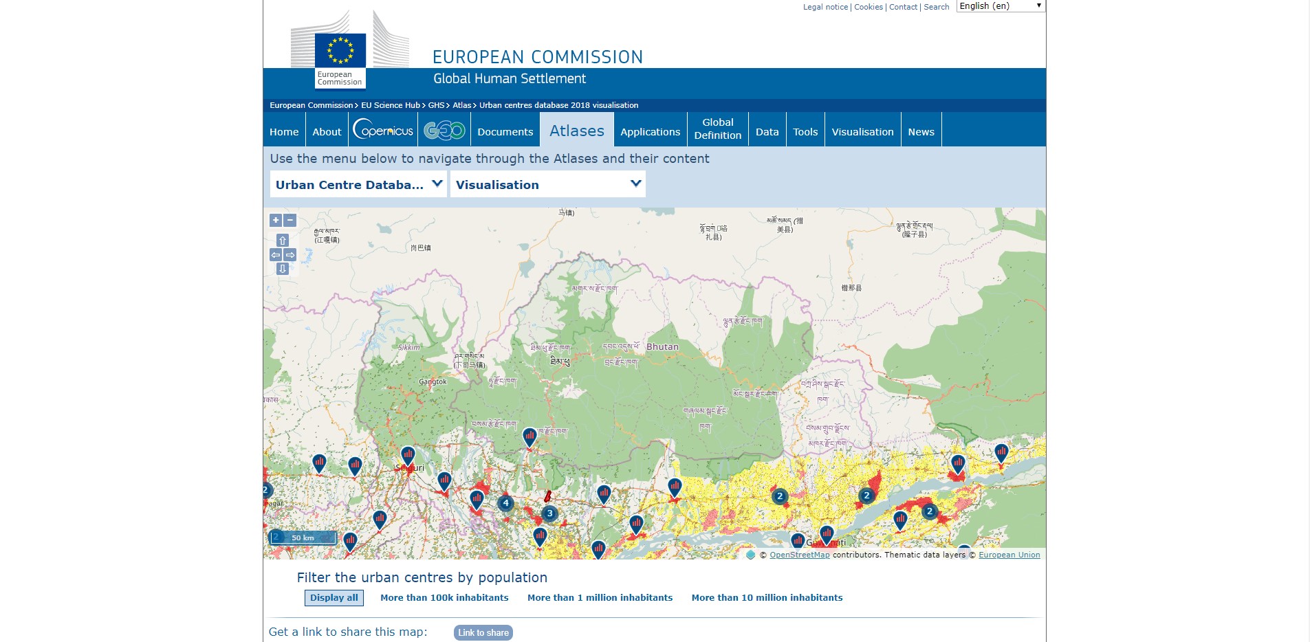
JRC Urban Explorer
GADAS
GEOGRLAM RAPP
GDACS
Ocean Currents
Open Data Cube
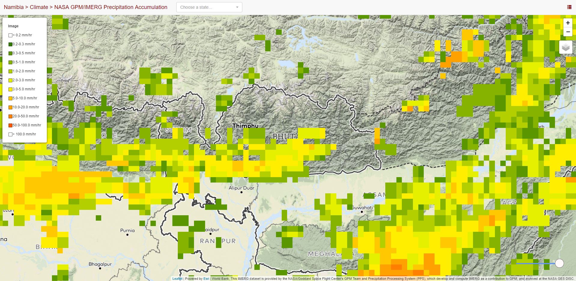
Precipitation (3 hour)
Total Precipitable Water
Satellite Precipitation
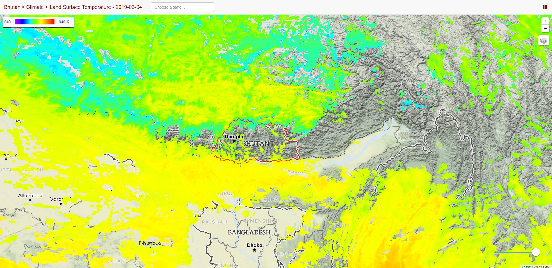
Satellite Temperature
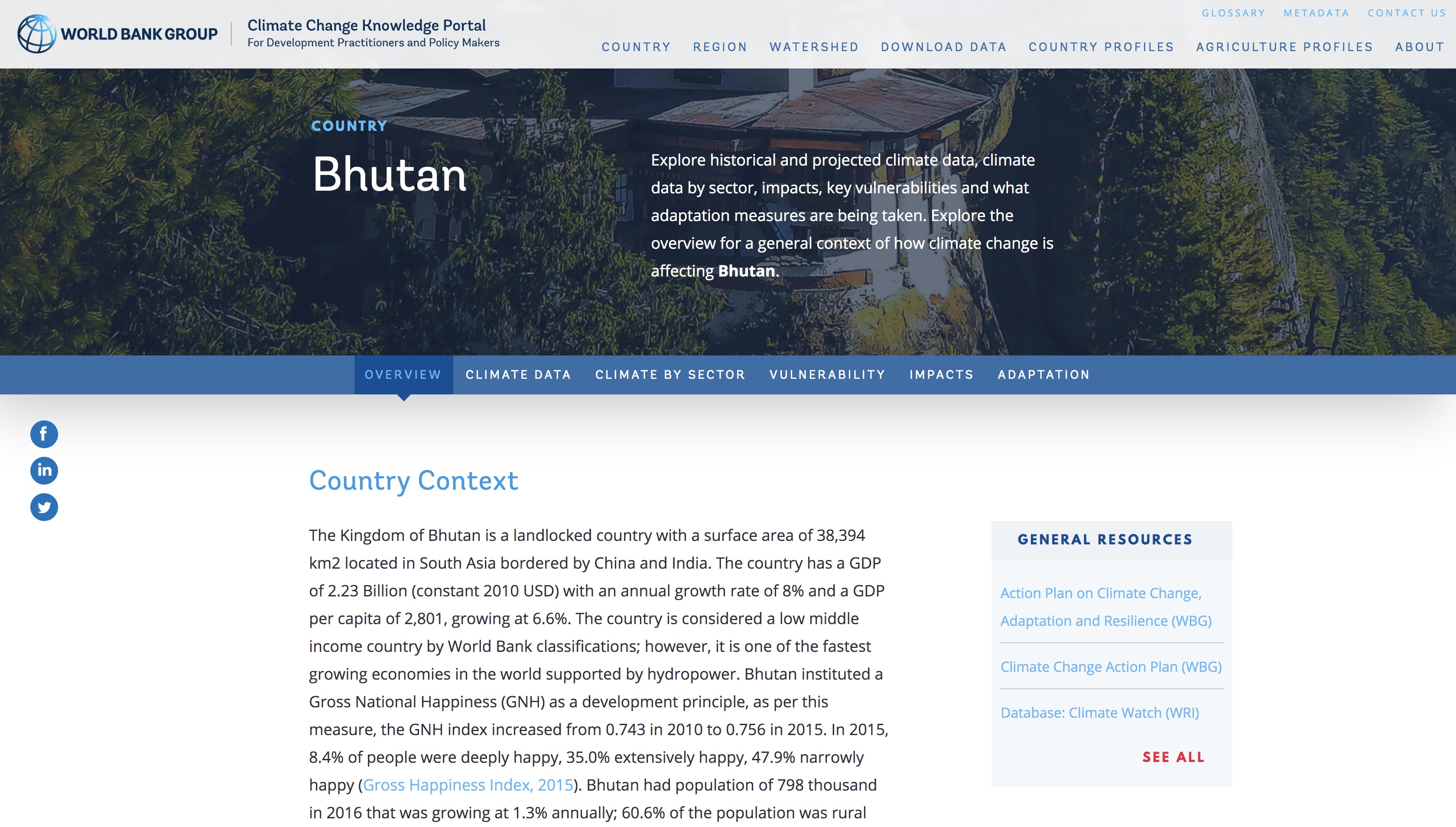
Climate Change Knowledge Portal
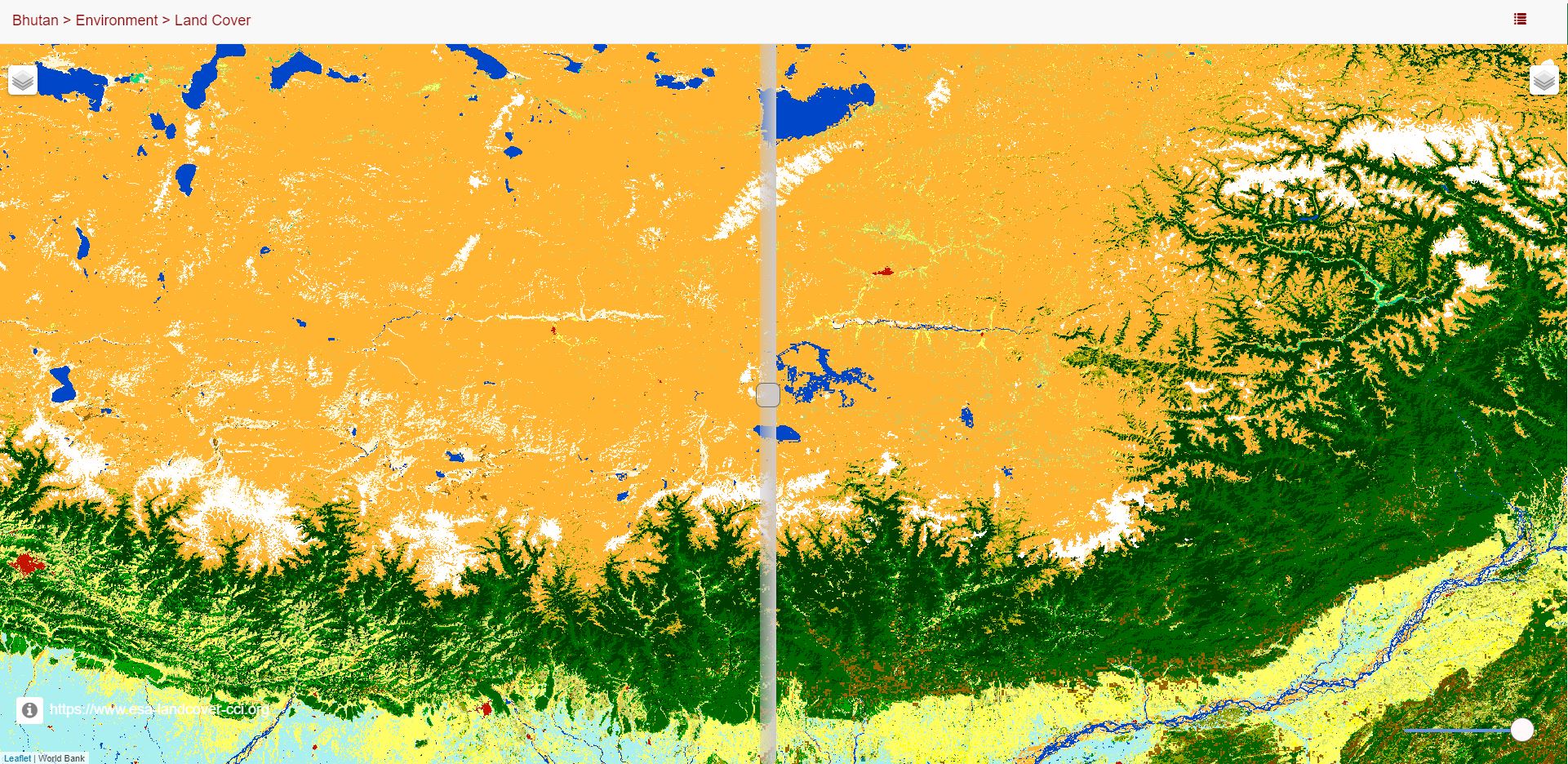
Land Cover Comparison
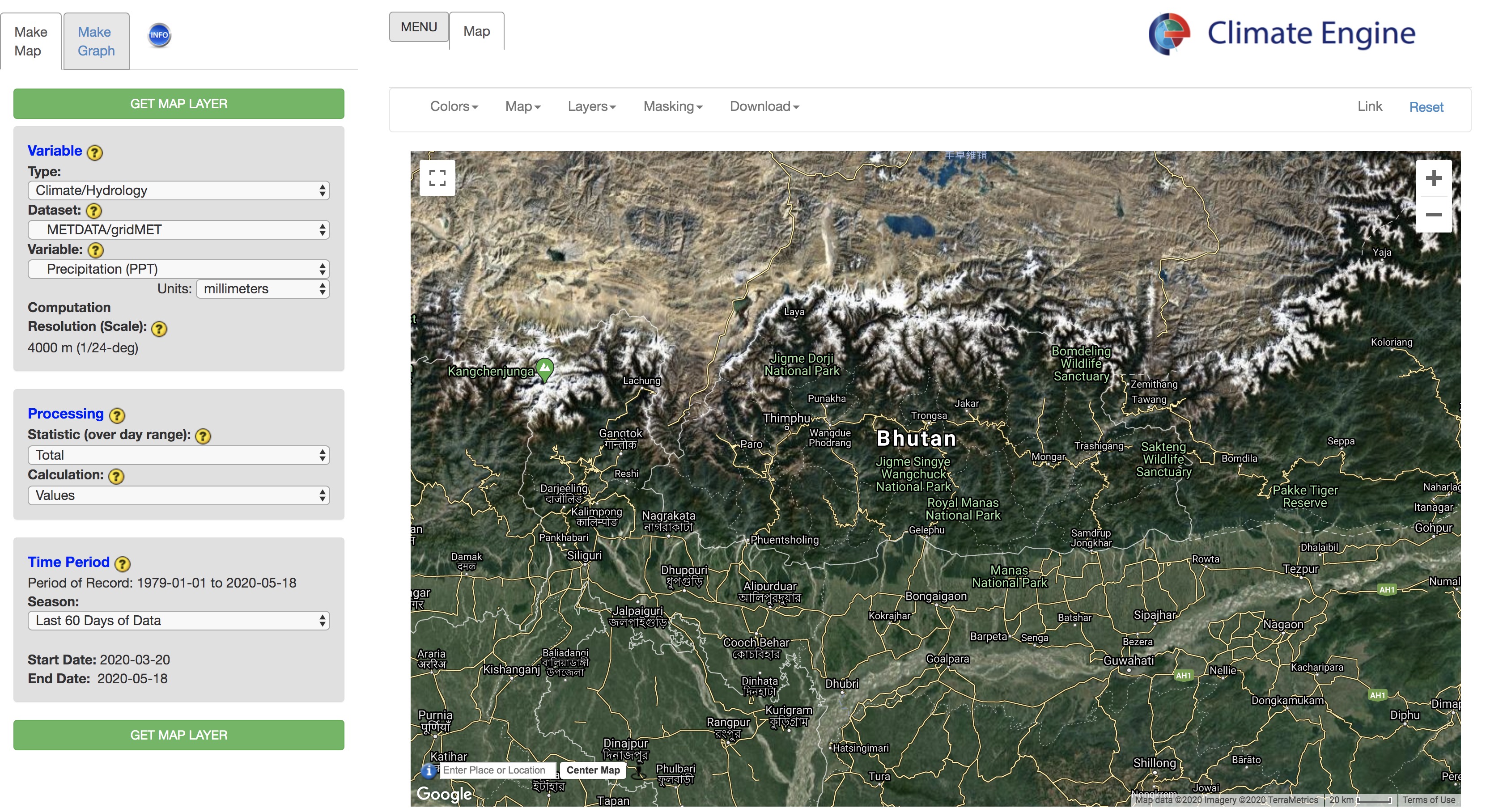
Climate Engine
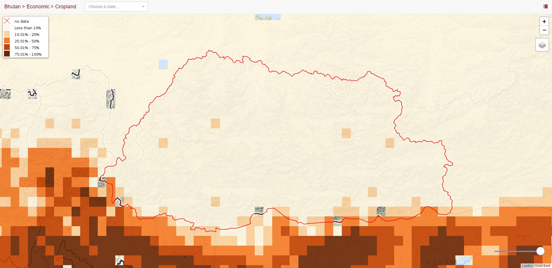
Croplands
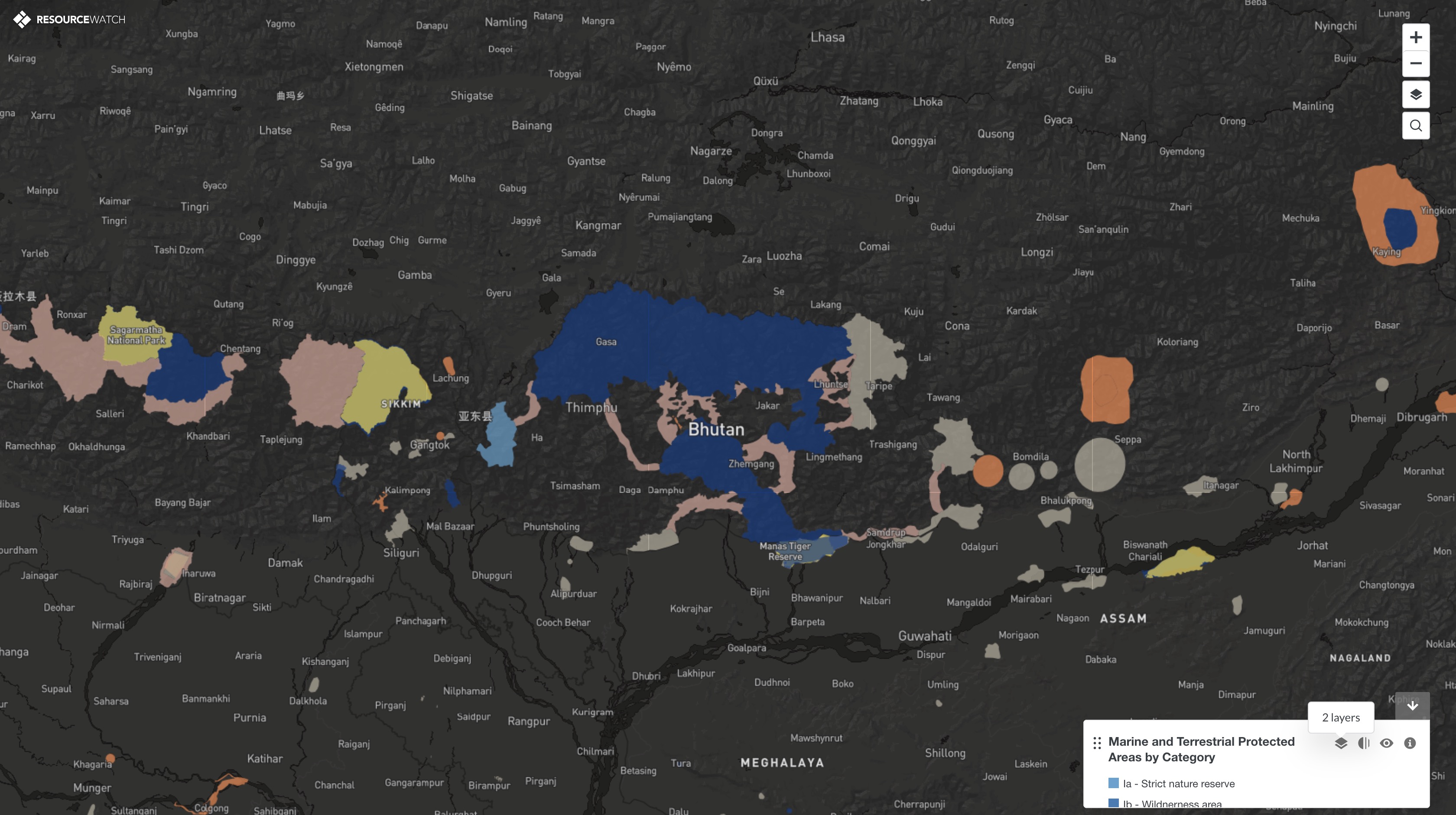
Protected Areas
Google Motion Charts
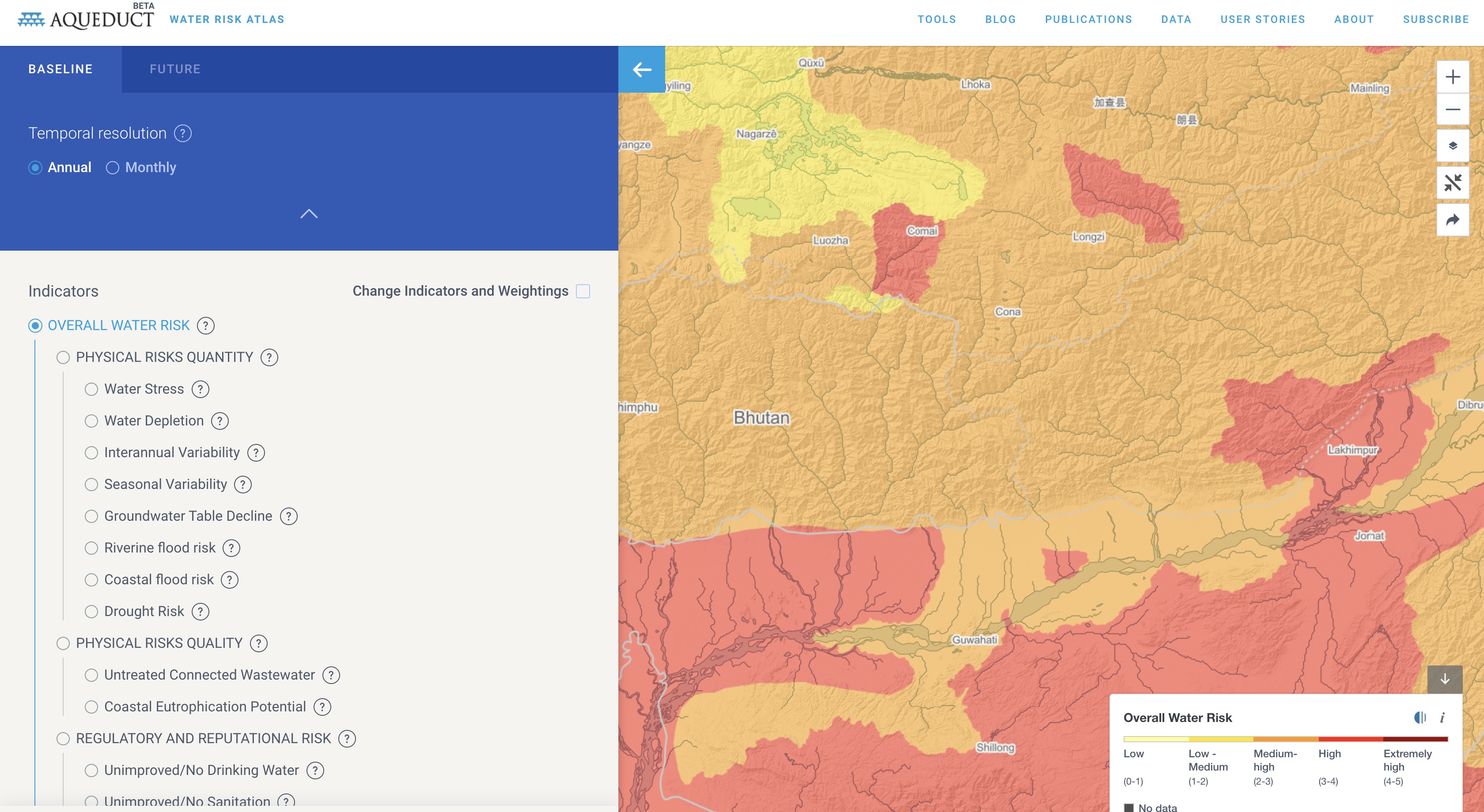
Water Stress (Aqueduct)
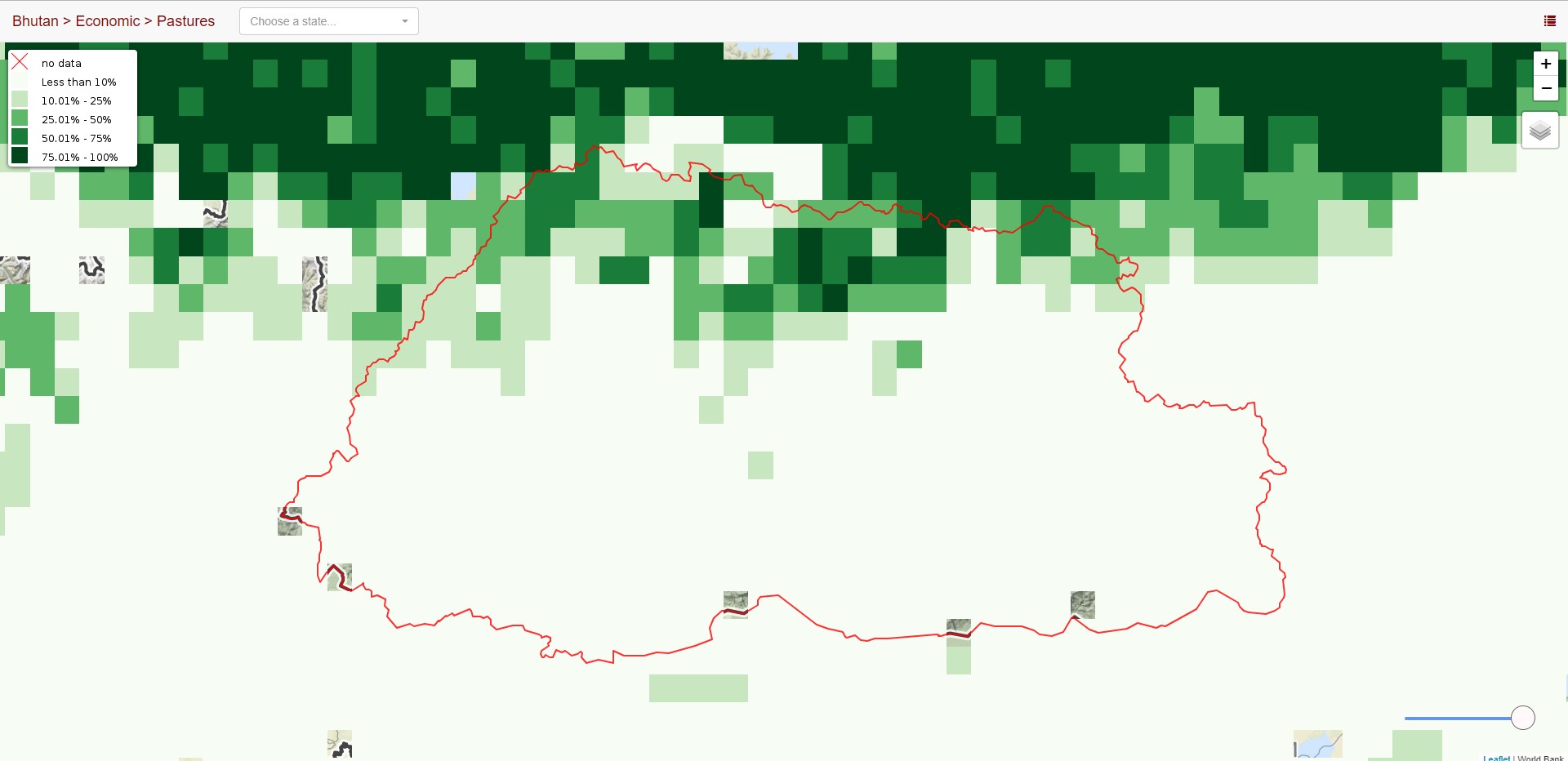
Pastures
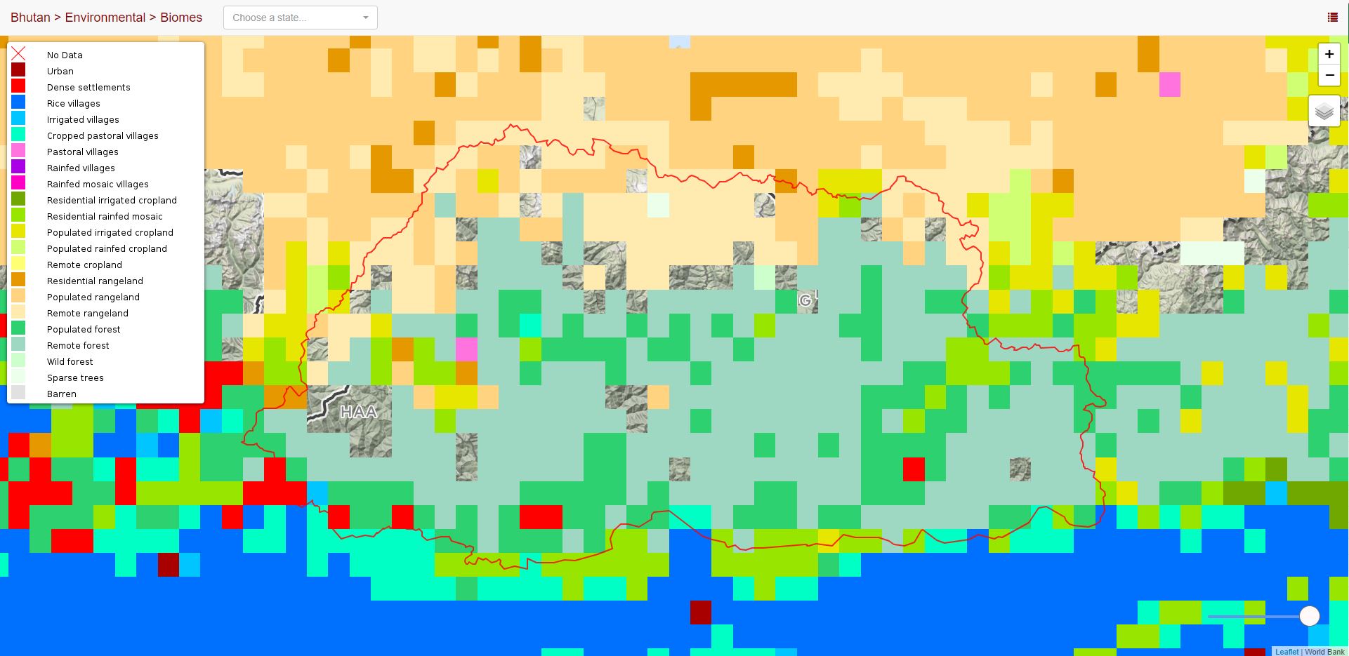
Biomes
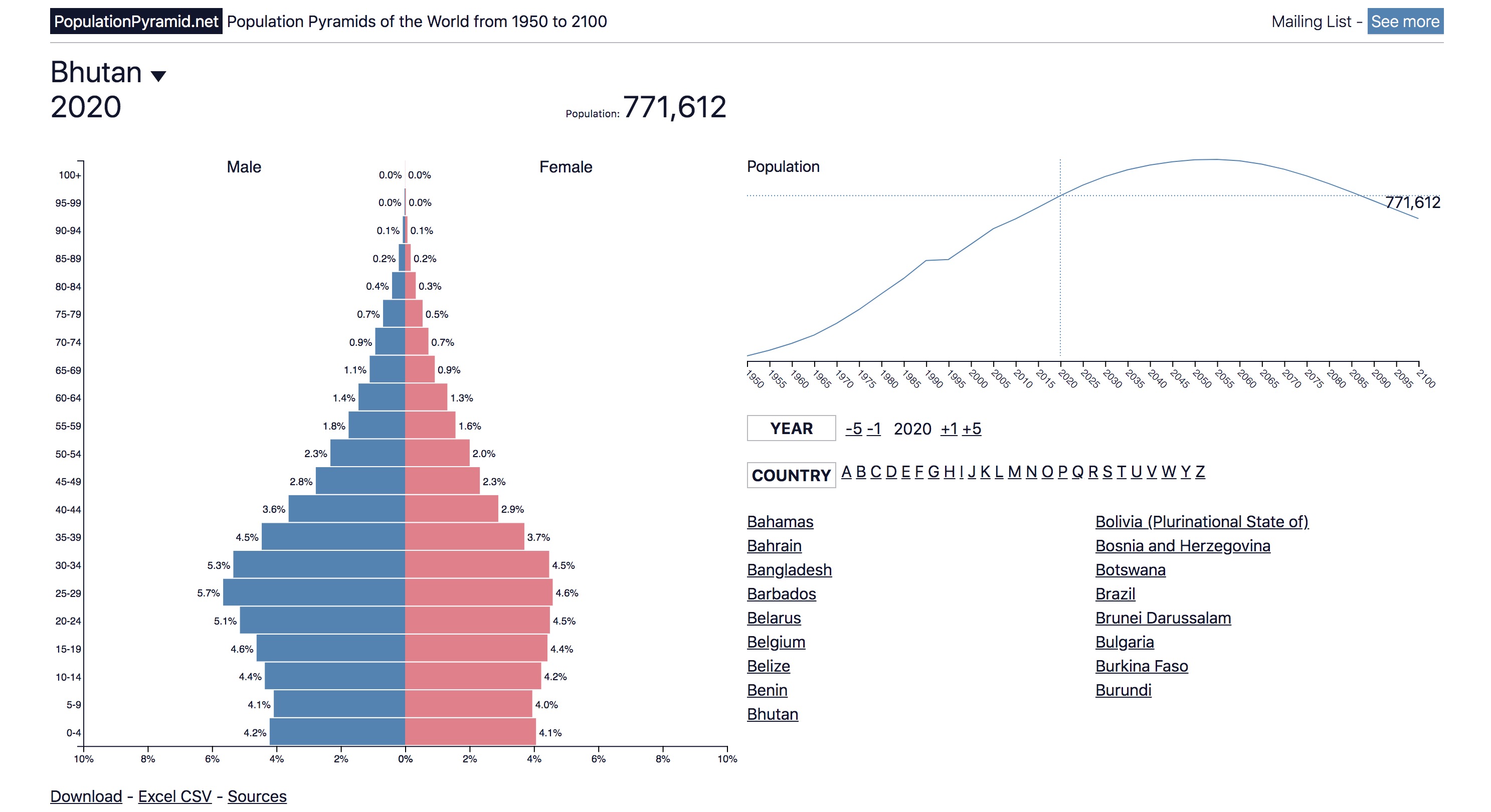
Population Pyramids
Erosion Risk
SERVIR Streamflow Prediction Services
GDACS Floods
Soil Moisture
Servir Tethys Apps
Glaciers
Global Flood Monitoring System (GFMS)
GEOGLOWS Streamflow Estimator
GRACE Groundwater Portal
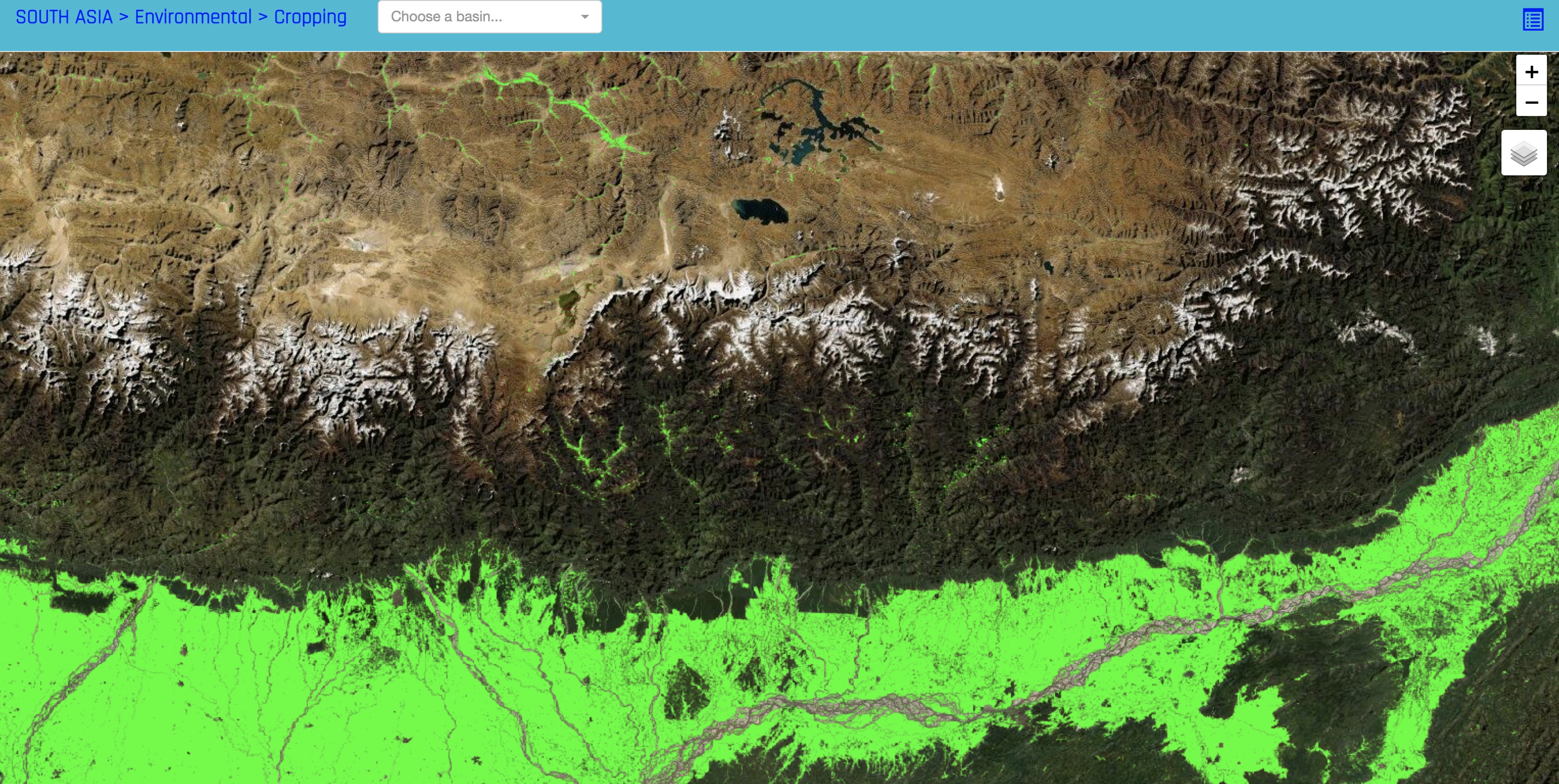
Cropping Extent
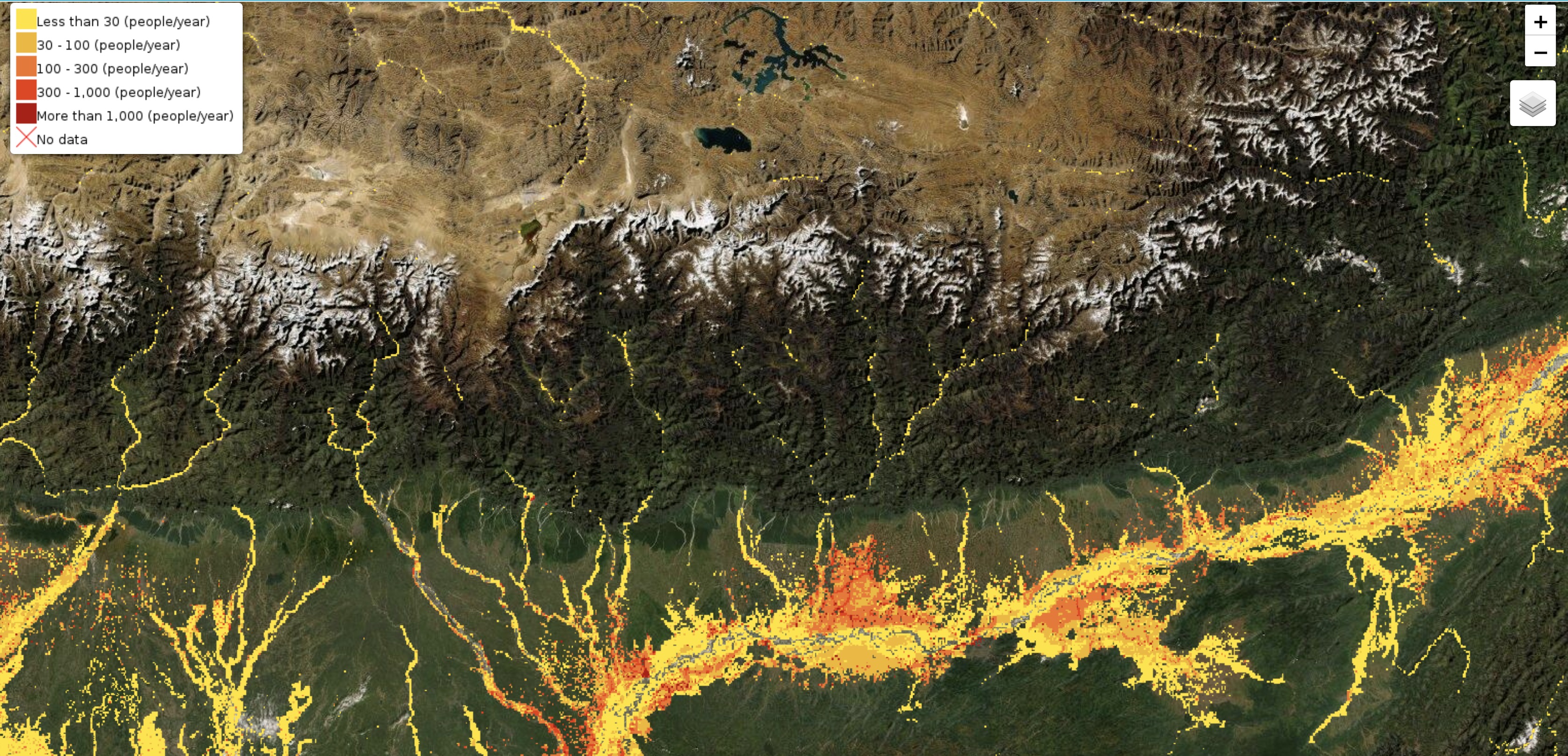
Flood Exposure
GRACE Groundwater
Aqua-Monitor Surface Water Changes
Wind Atlas
CIESIN Pop Grid
Climate Stations