×
KERALA DATA PORTAL
All
Environmental
Social
Economic
Climate
Water
Disasters
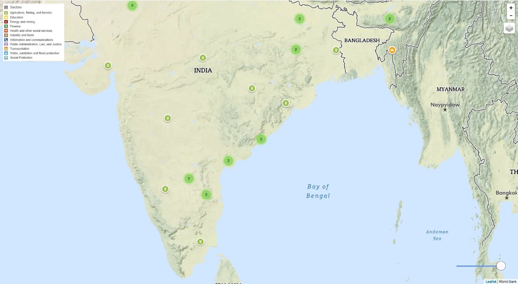
World Bank Projects
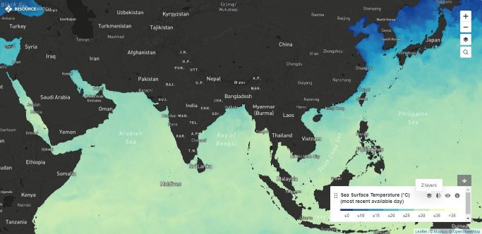
Sea Surface Temperature
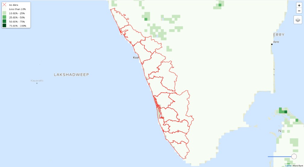
Croplands
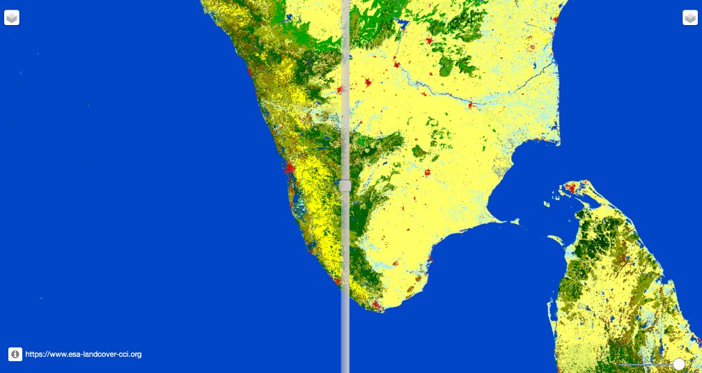
Land Cover Comparison
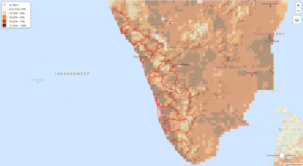
Cropping Extent
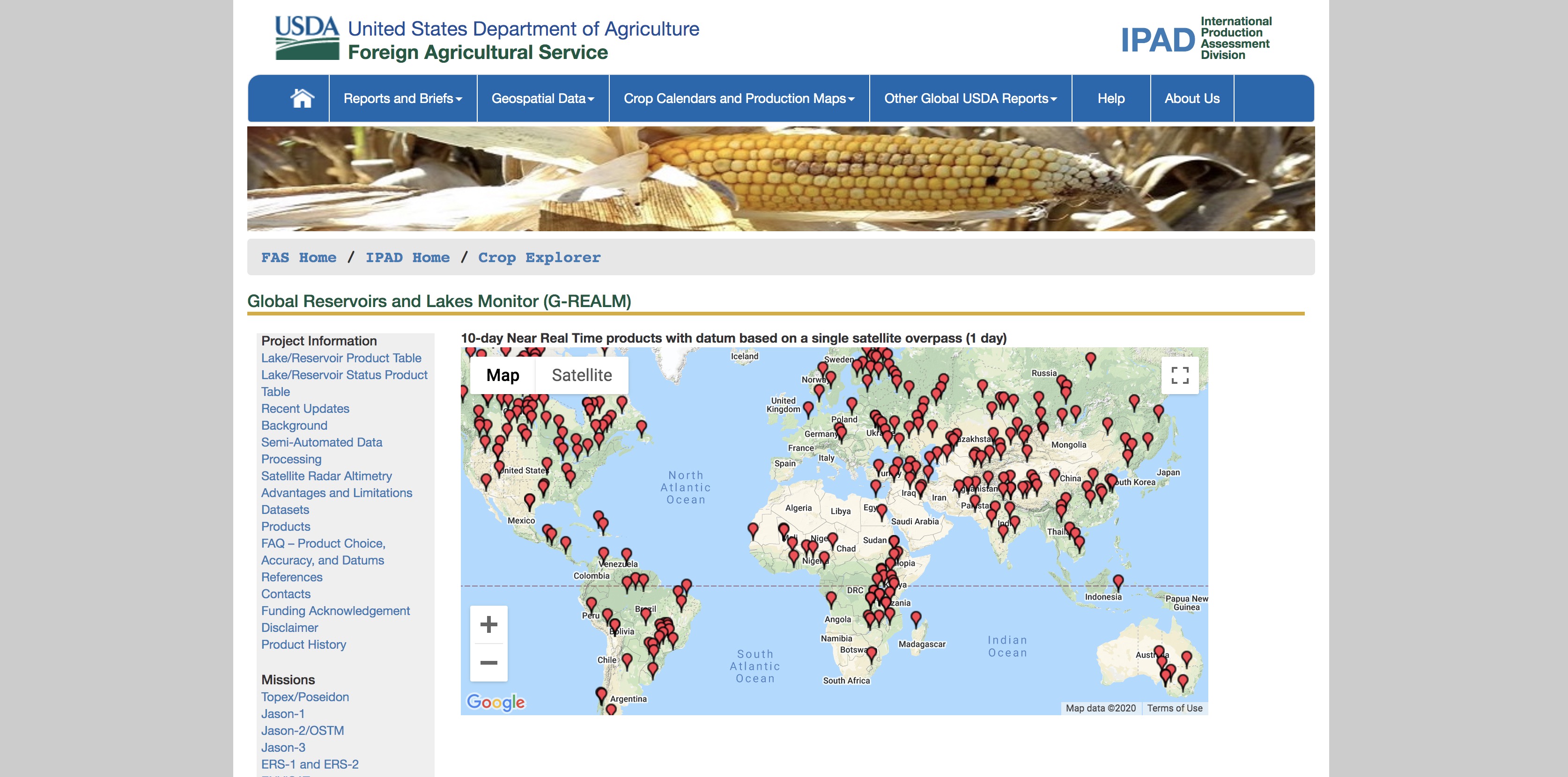
Global Reservoirs and Lakes Monitor
Standardized Precpitation Index
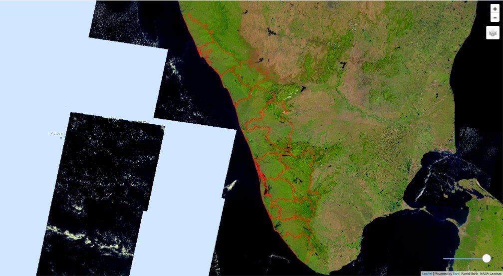
Landsat Vegetation Analysis
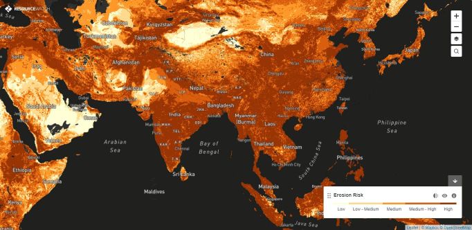
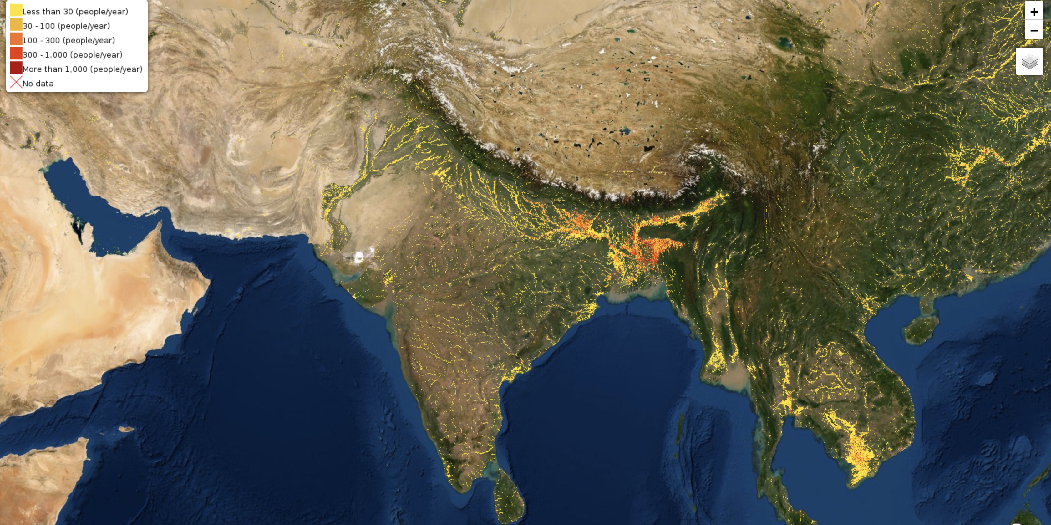
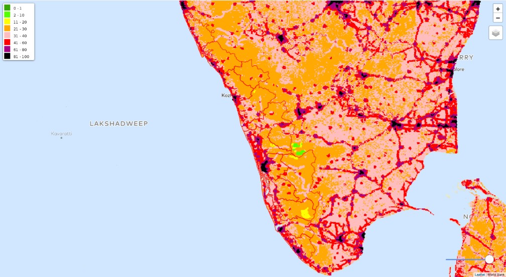
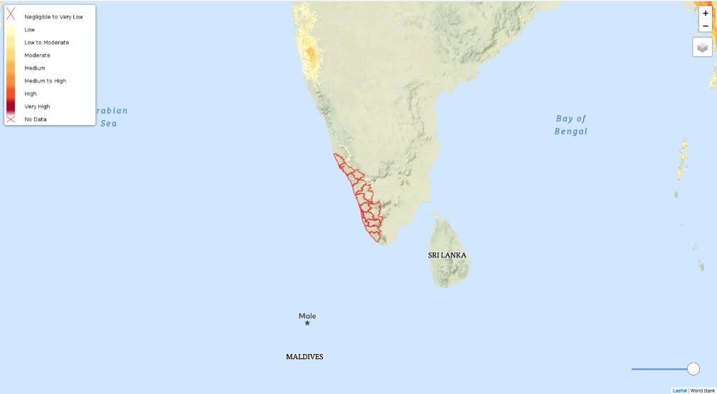
Erosion Risks
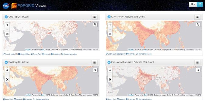
CIESIN Pop Grid
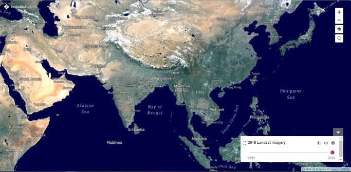
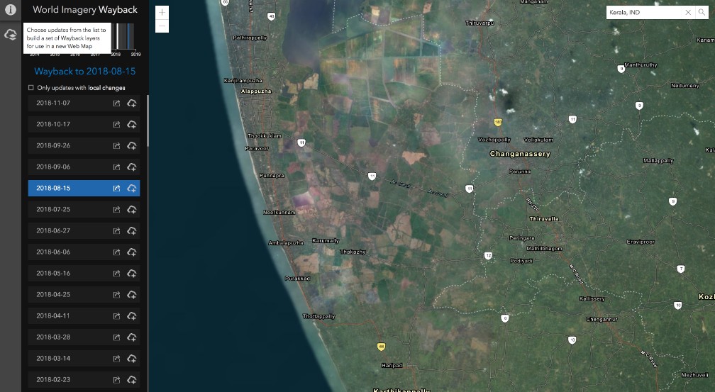
Landsat Archive
Flood Exposure
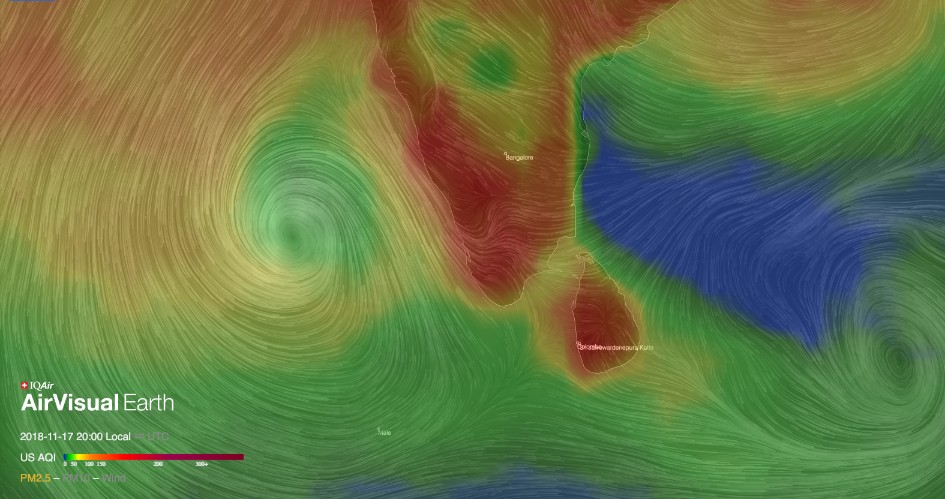
Air Quality
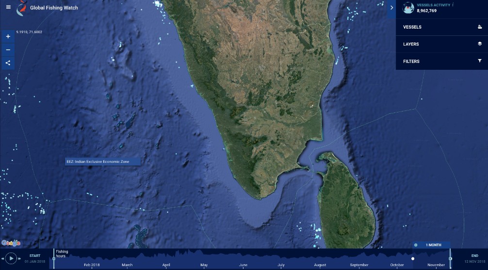
Fishing Watch
Open Data Cube
Biomass
Monthlhy Animated Precpitation
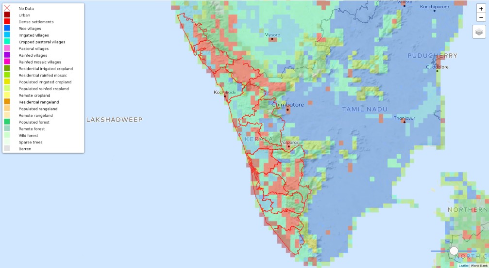
Biomes
Water Transitions
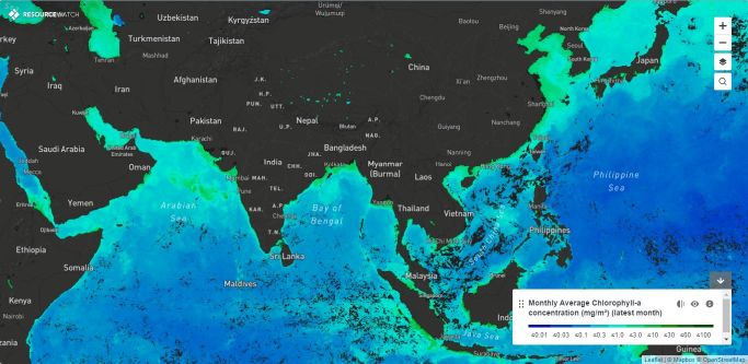
Water Quality (Chlorophyll-A)
Monthly Animated Temperature
Fire Data
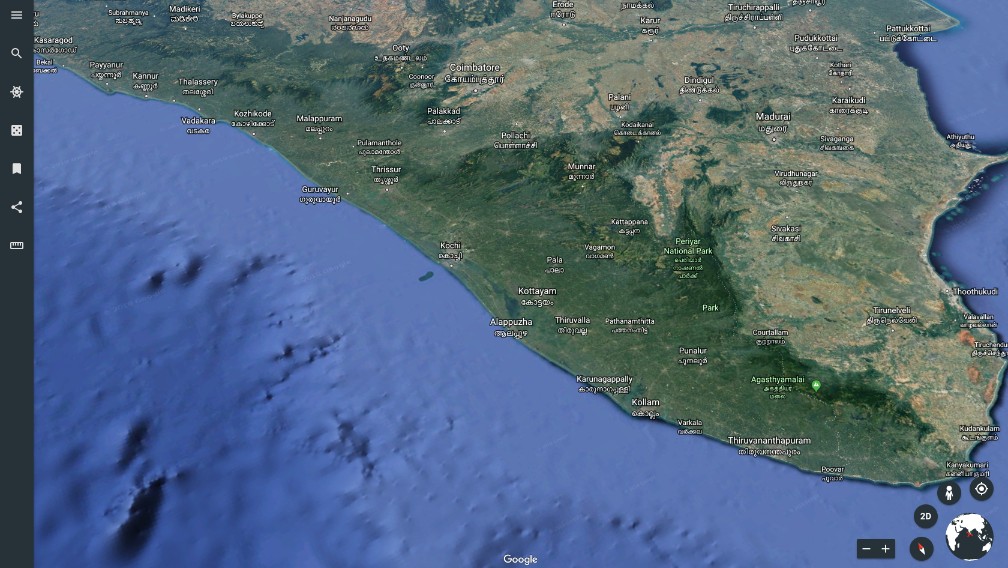
Google Earth Data
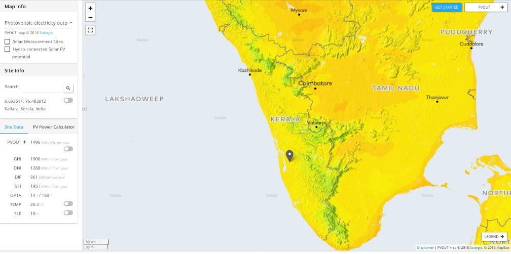
Renewable Energy Data
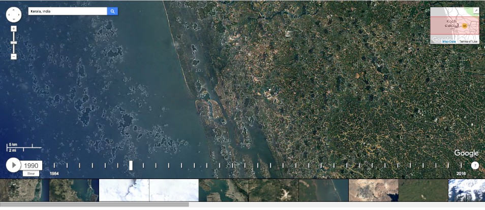
Earth Engine Timelapse
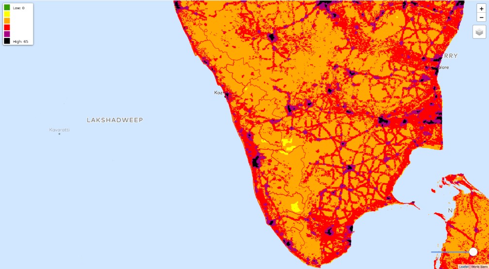
Human Footprint
Human Influence Index
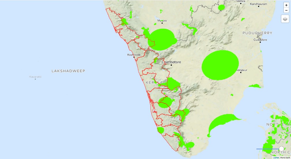
Protected Areas
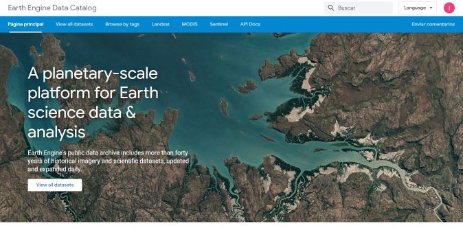
Google Earth Engine Datasets
Forest Cover / Loss / Gain
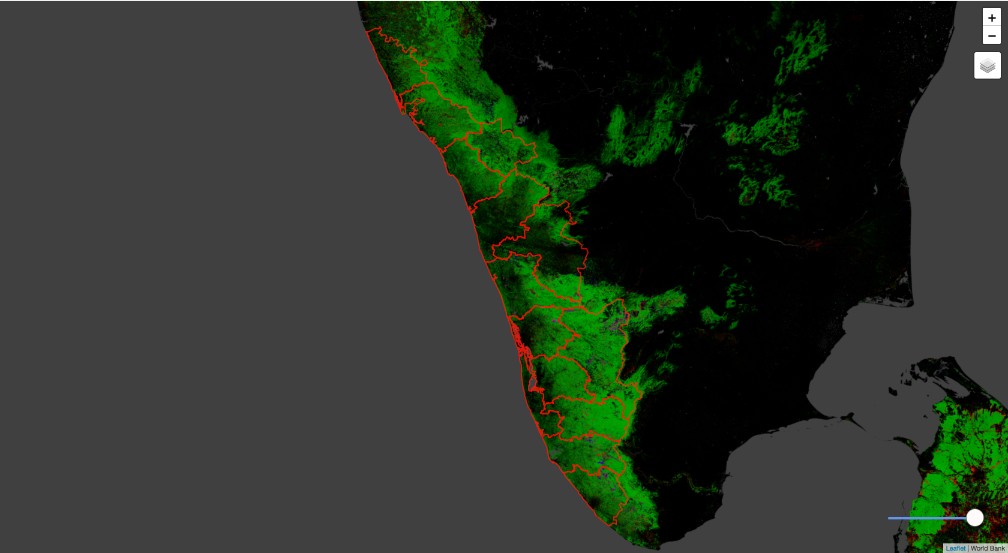
Earth Engine NDVI Analysis
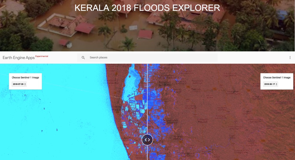
Flood Visualizer
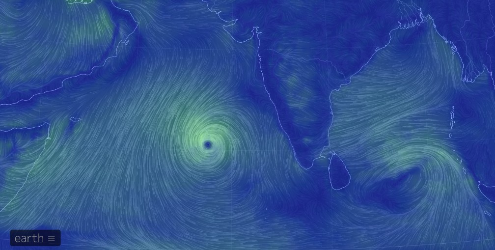
Earth Wind Map
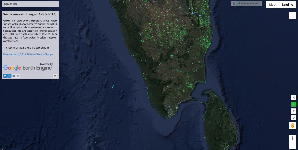
Land-Water Changes
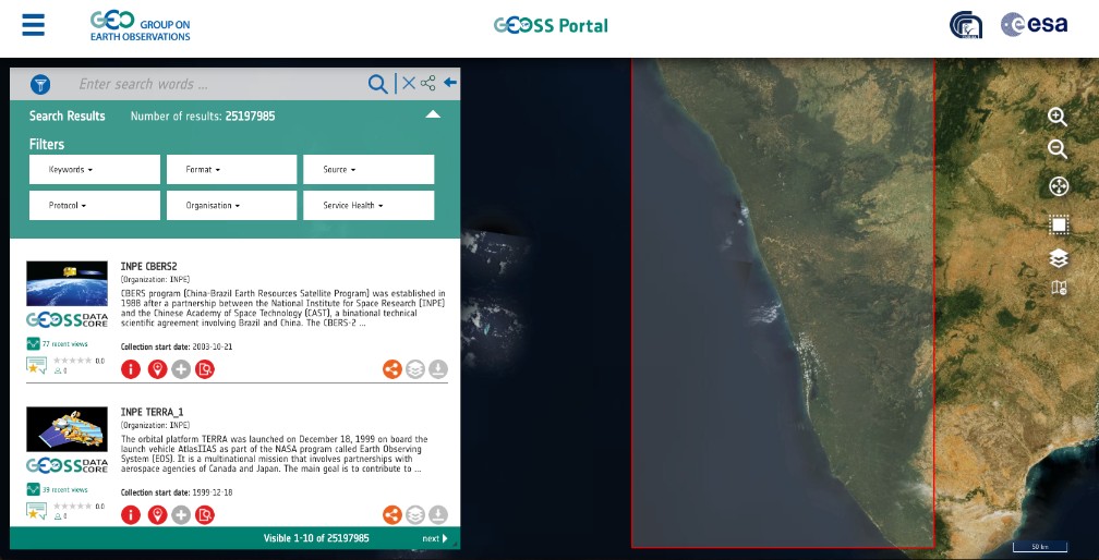
GEOSS Portal
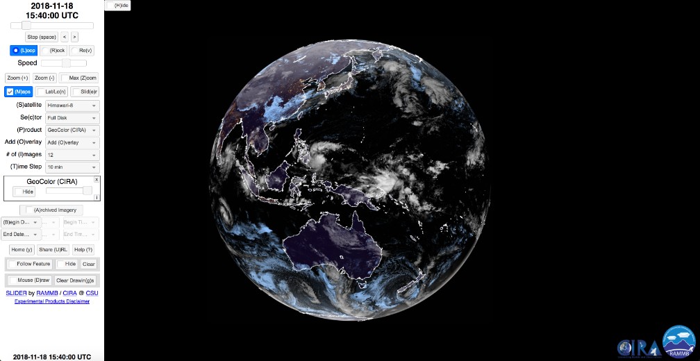
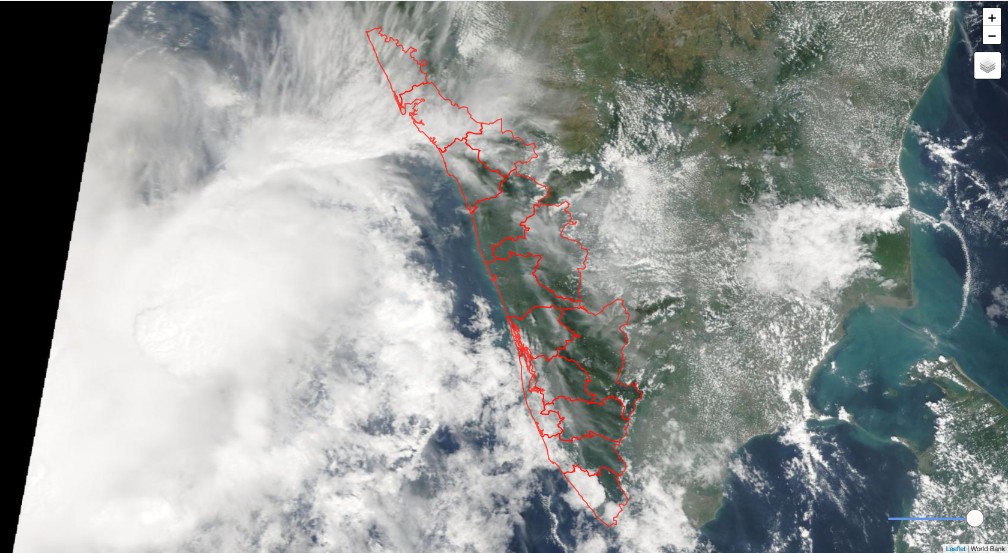
Himawari
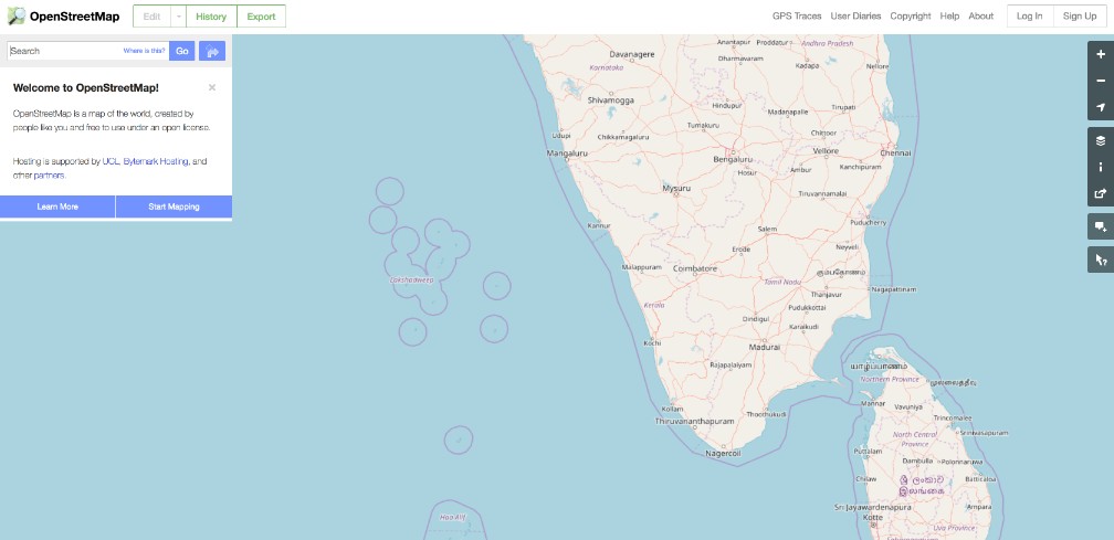
Open Street Map Data
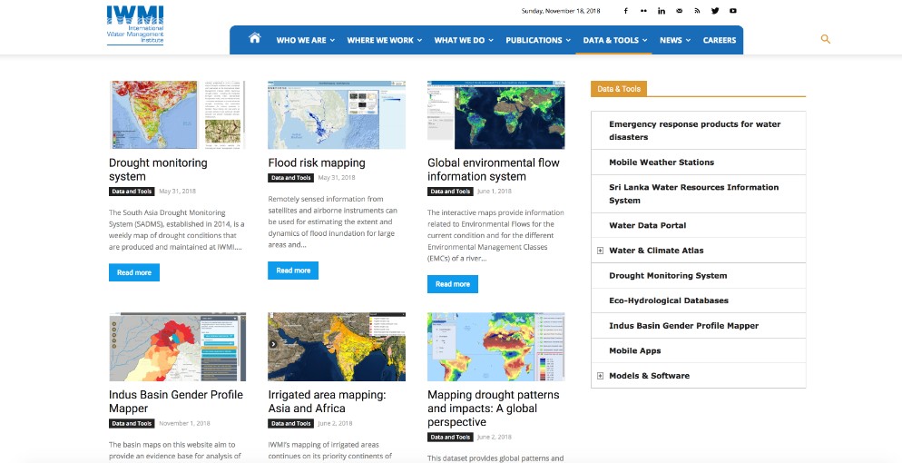
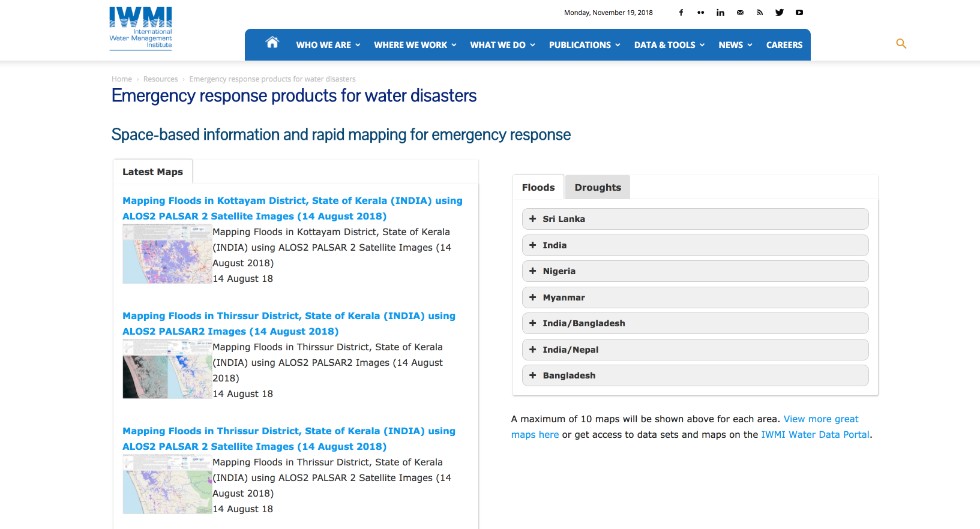
IWMI Portal
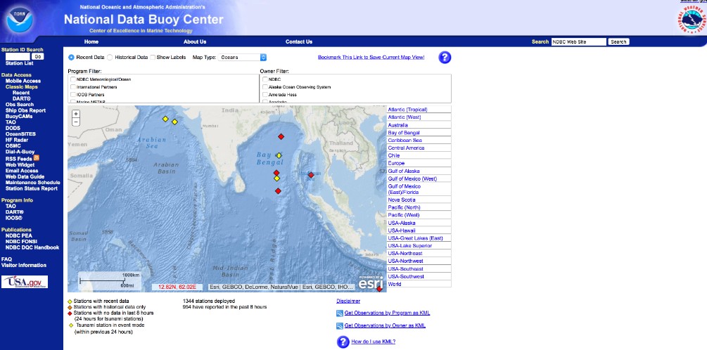
Ocean Buoys
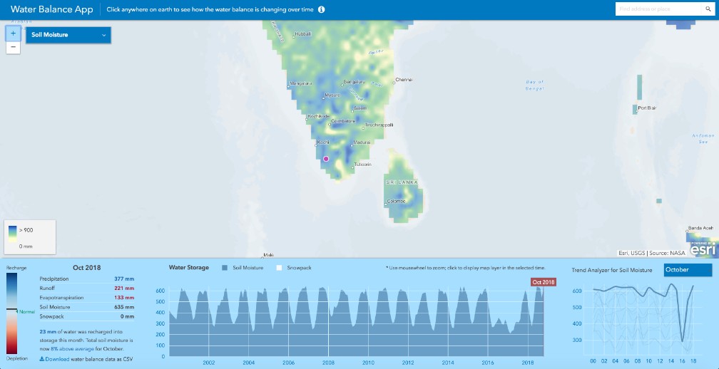
ESRI Water Balance
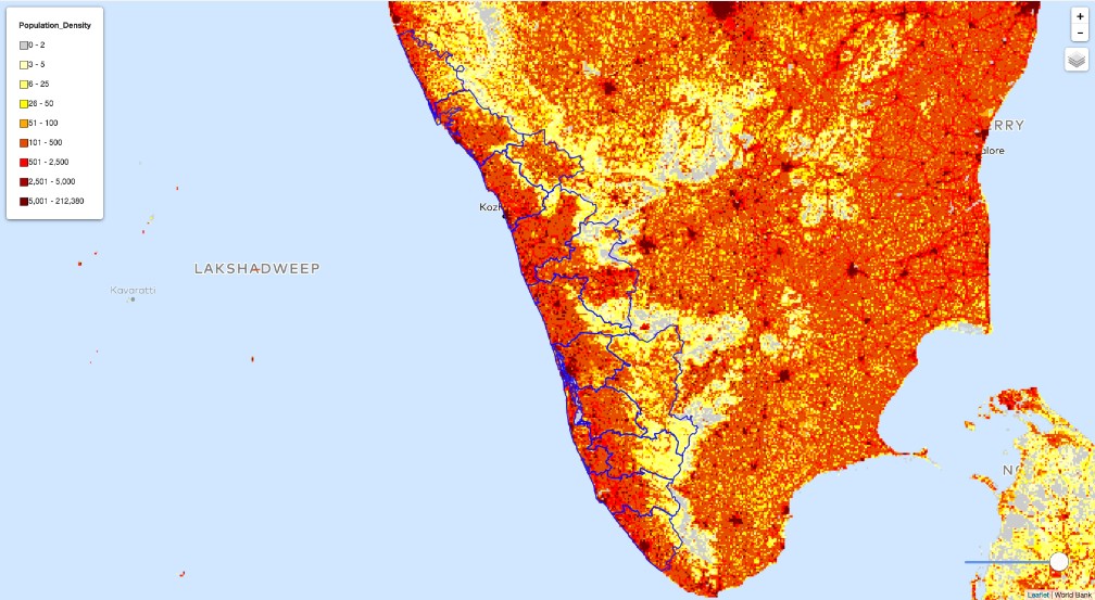
WorldPop Population
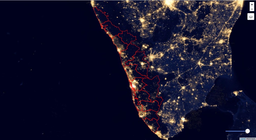
Night Lights
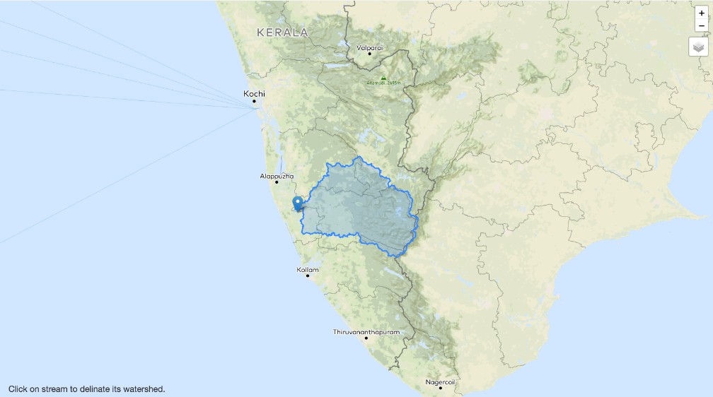
Illustrative Watershed Tool
Watershed Mapper
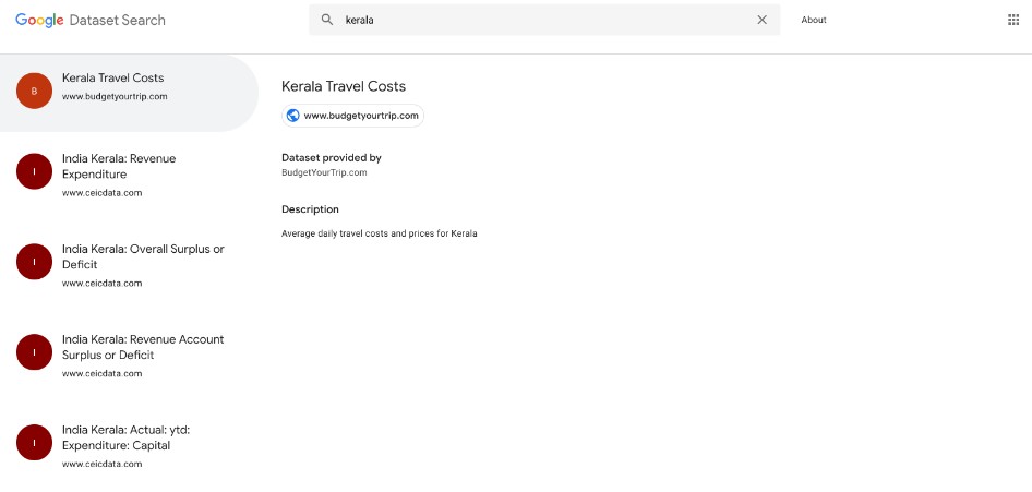
Google Dataset Search
Population (Landscan)
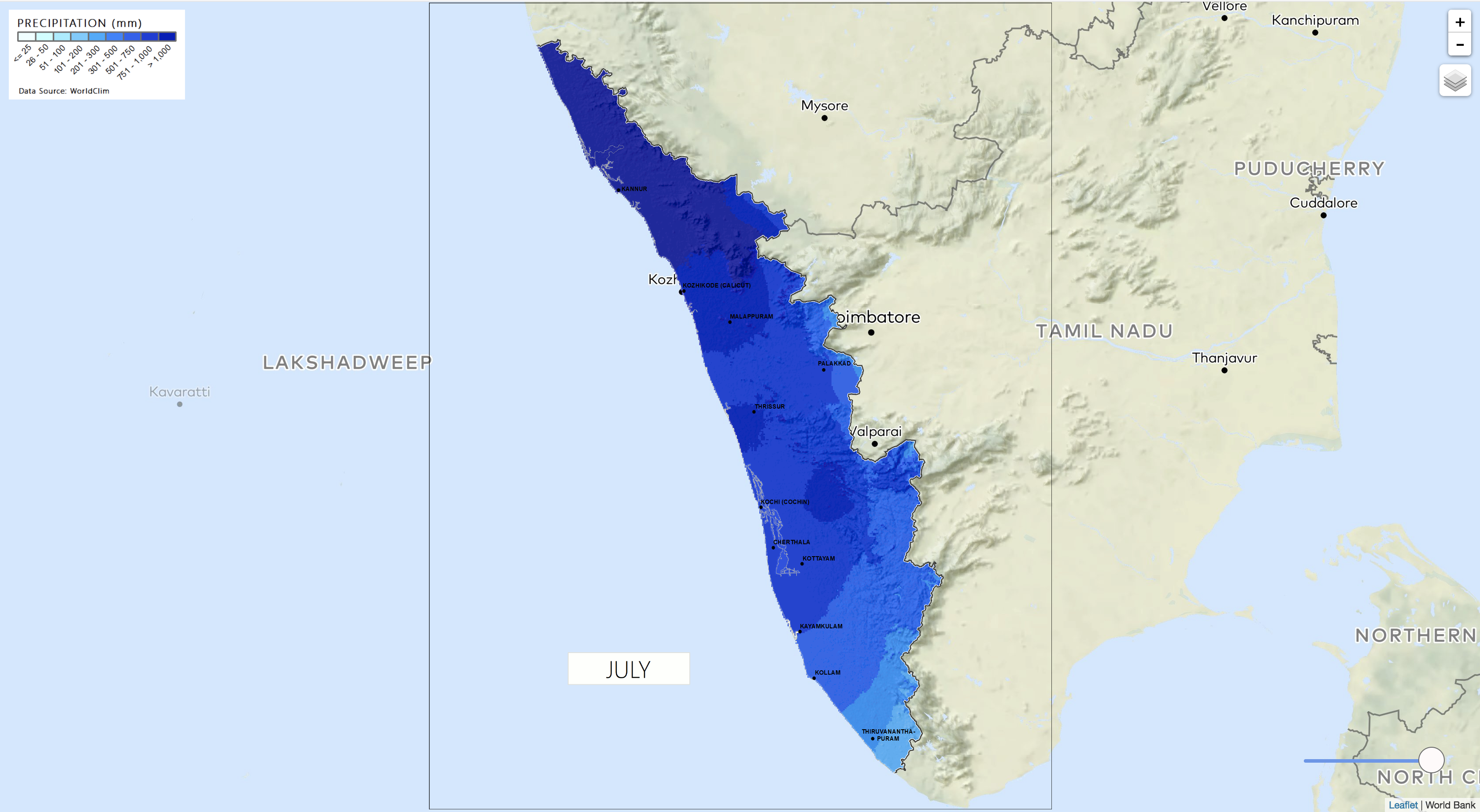
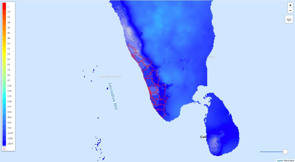
Average Annual Precipitation
MODIS Layers
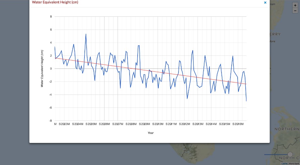
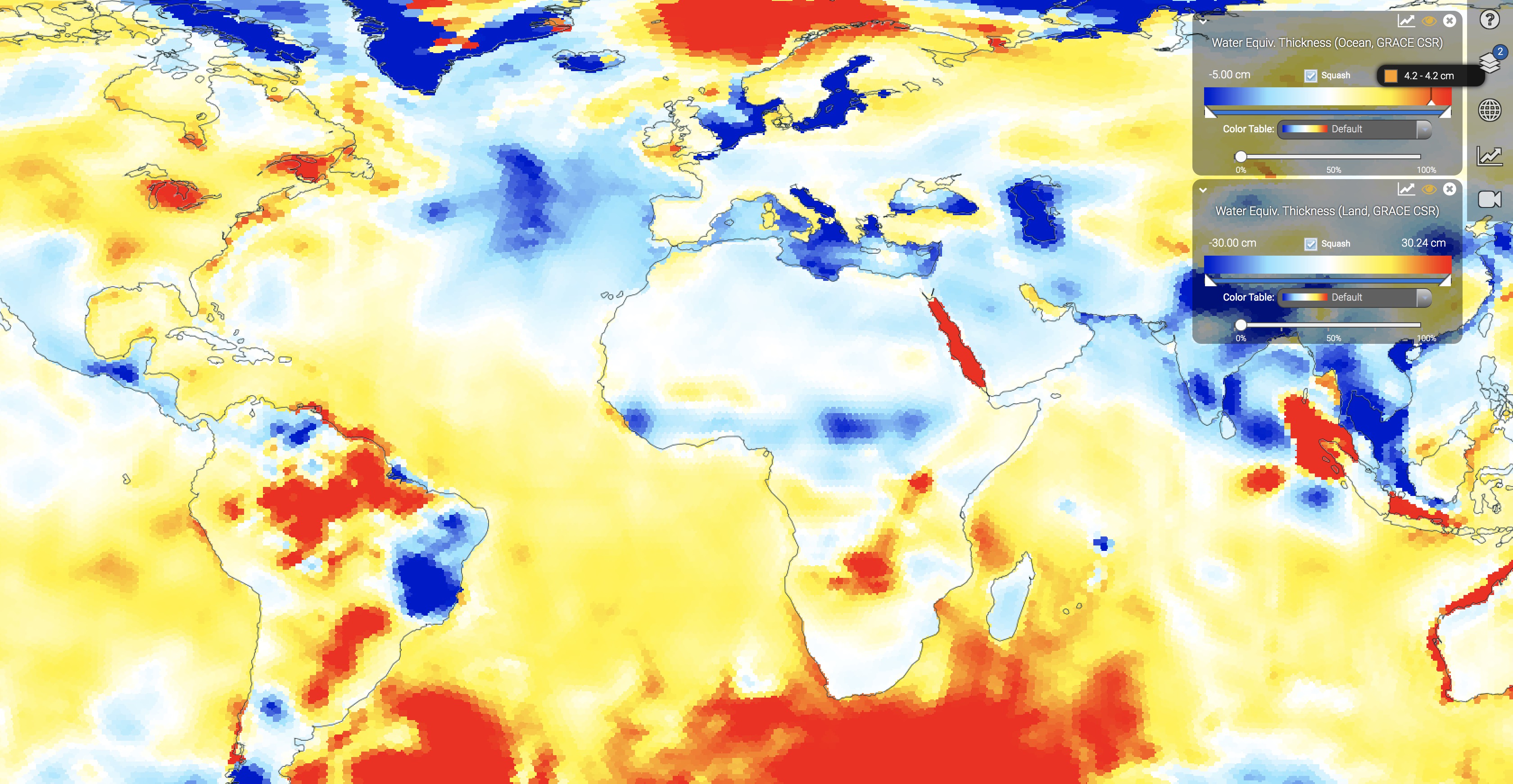
GRACE (Water Height Equivalent)
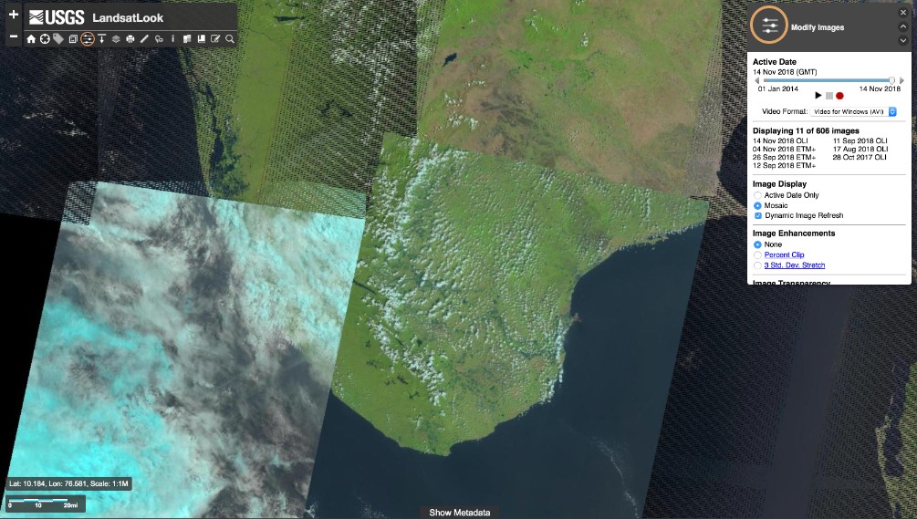
Landsat Look
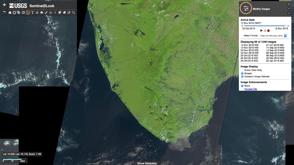
Sentinel Look
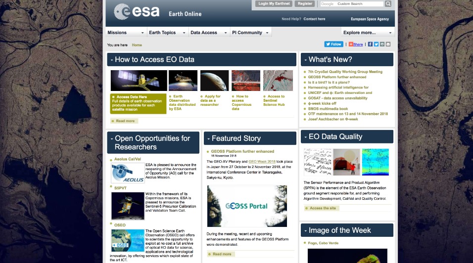
ESA Website
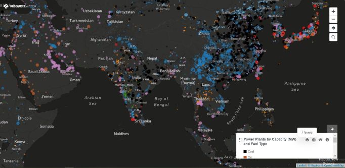
All Power Plants
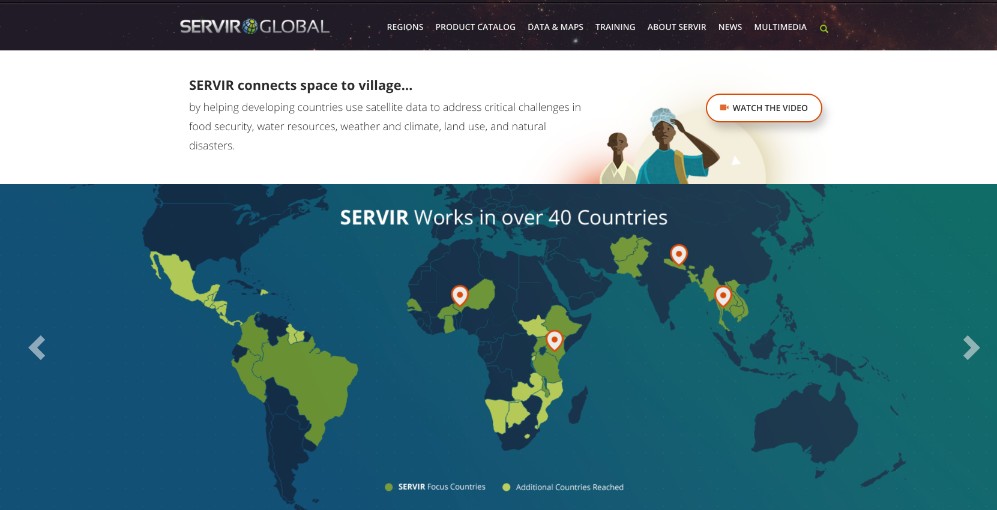
NASA SERVIR
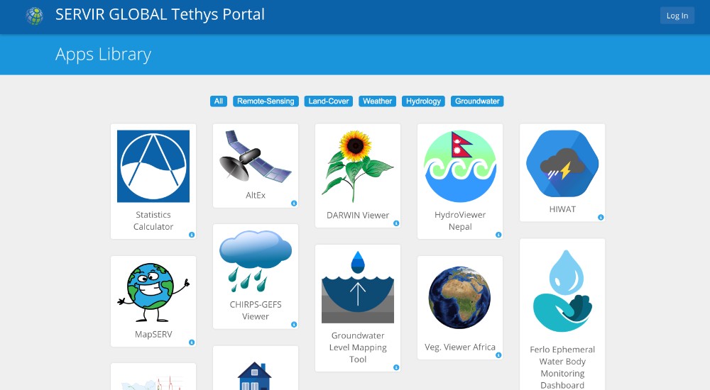
SERVIR Tethys Apps
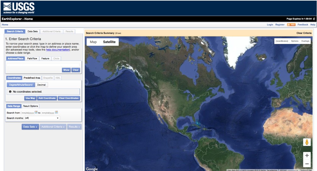
EarthExplorer
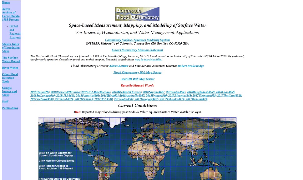
Flood Observatory
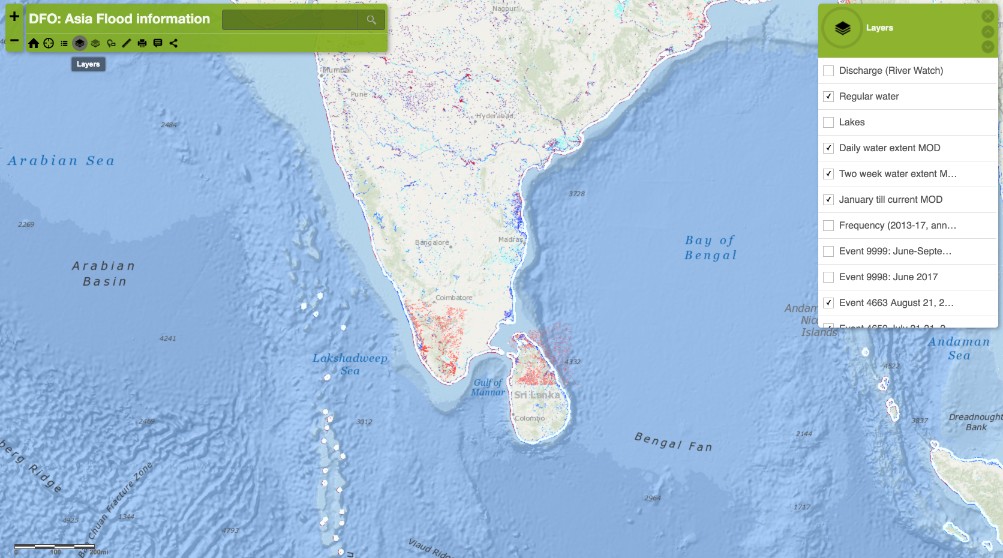
DFO Flood App
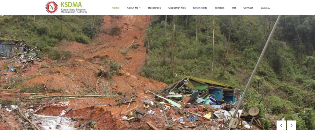
Kerala State Disaster Management Authority
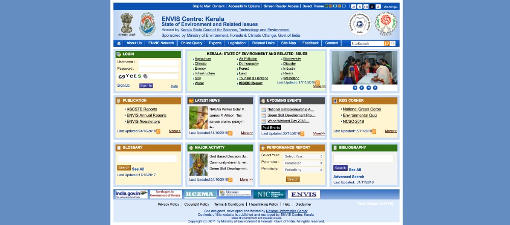
Kerala ENVIS
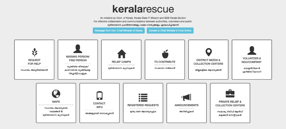
Kerala Rescue
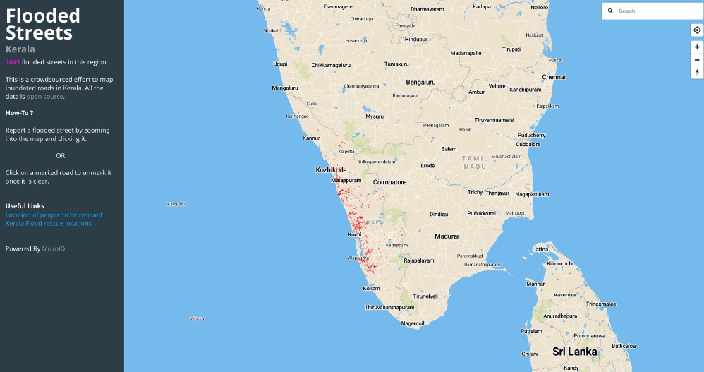
Microid Flooded Streets
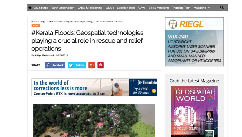
Geospatial Technologies
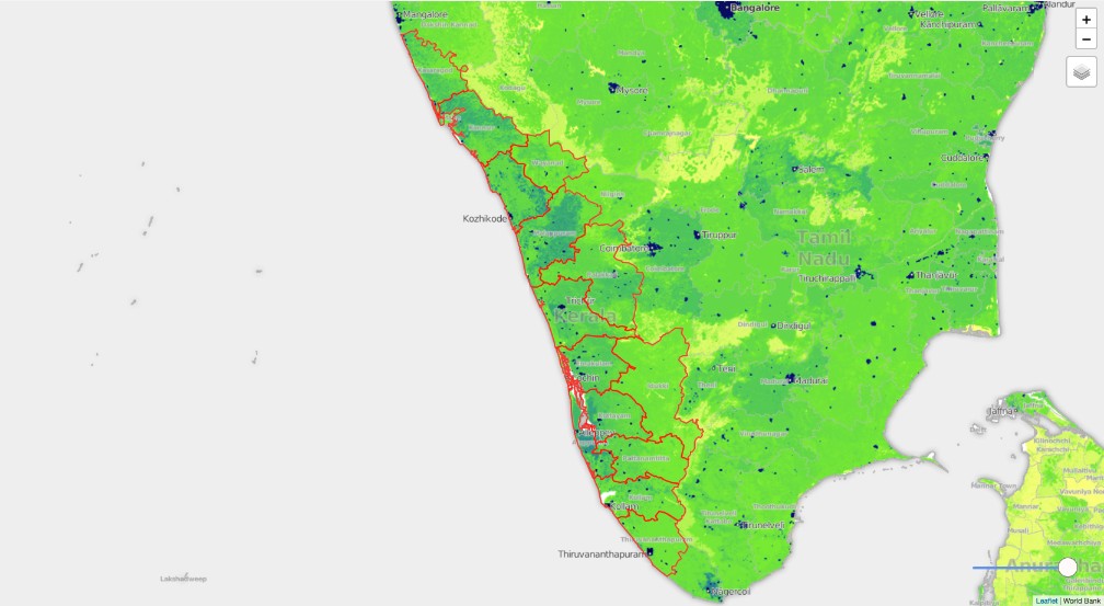
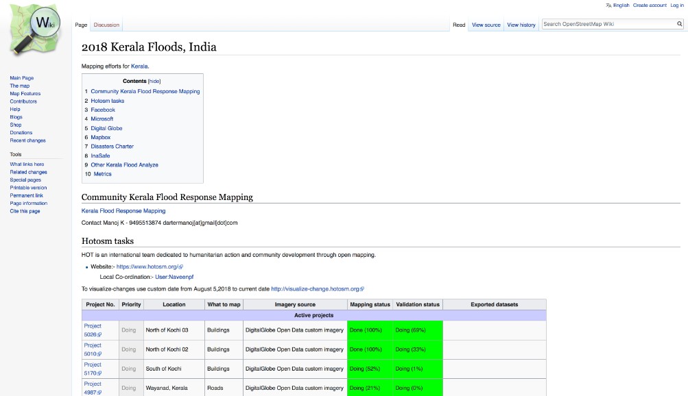
Kerala Mapping Data
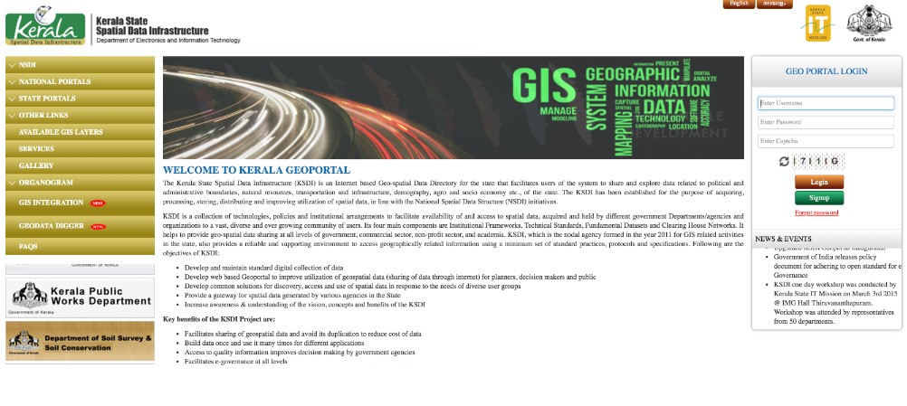
Kerala Geoportal
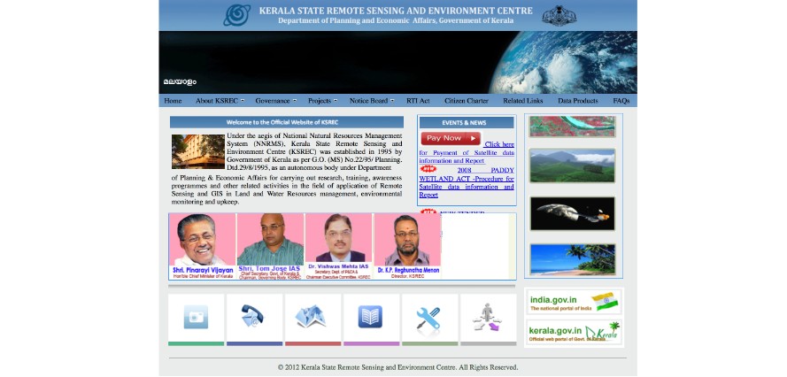
Kerala State Remote Sensing and Environment Center
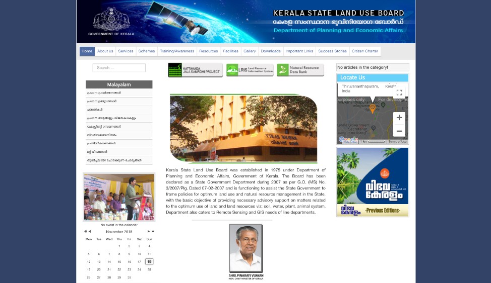
Kerala State Land Use Board
GRACE Groundwater
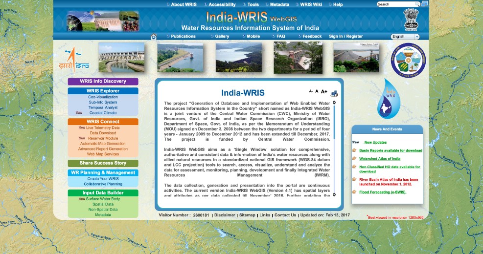
WRIS
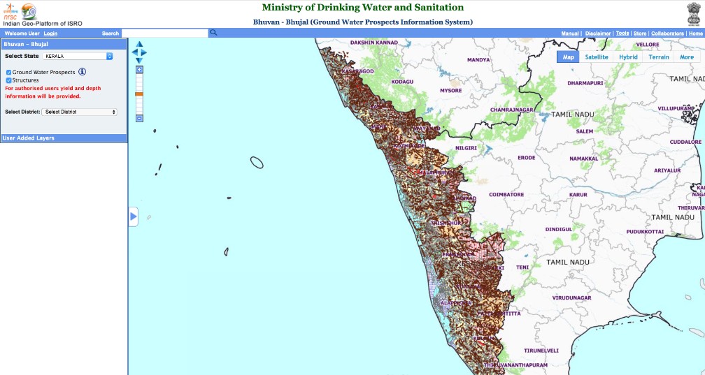
Bhuvan Groundwater
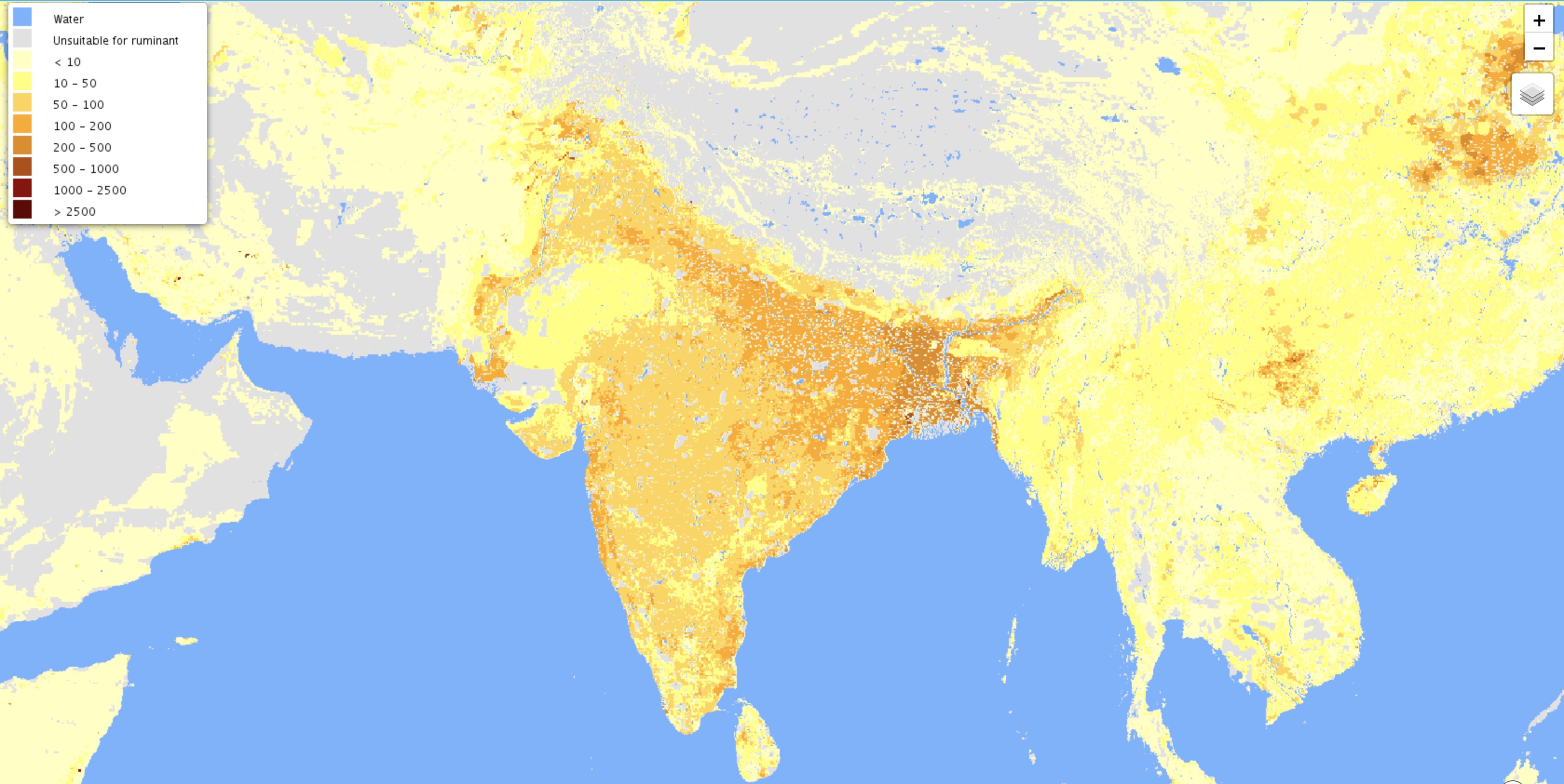
Livestock Density
ISRO Website
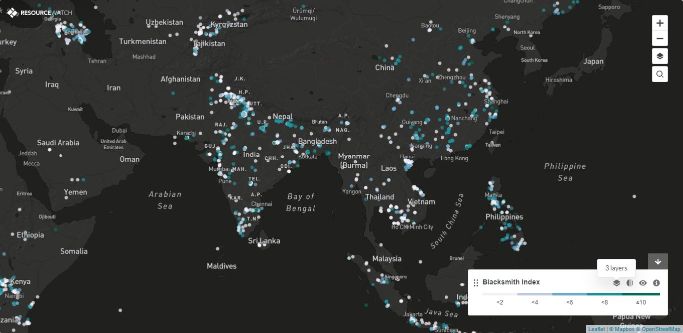
Toxic Sites
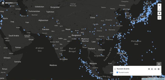
Tsunamis
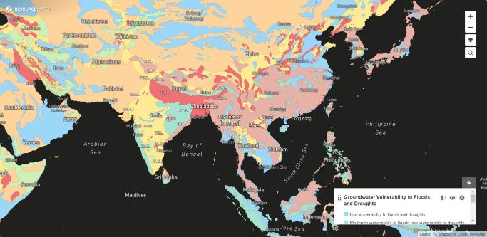
Groundwater Climate Vulnerability
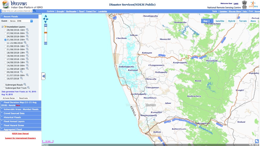
Bhuvan Floods
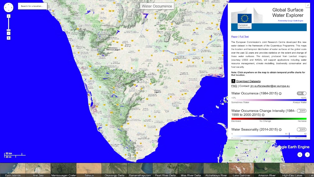
JRC Surface Water Explorer
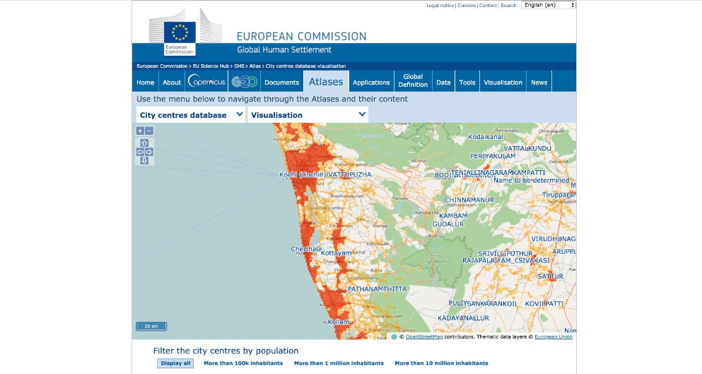
JRC Urban Explorer
Hi-Res Satellite Data
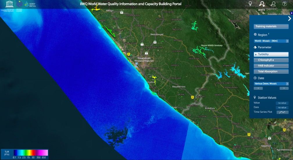
World Water Quality
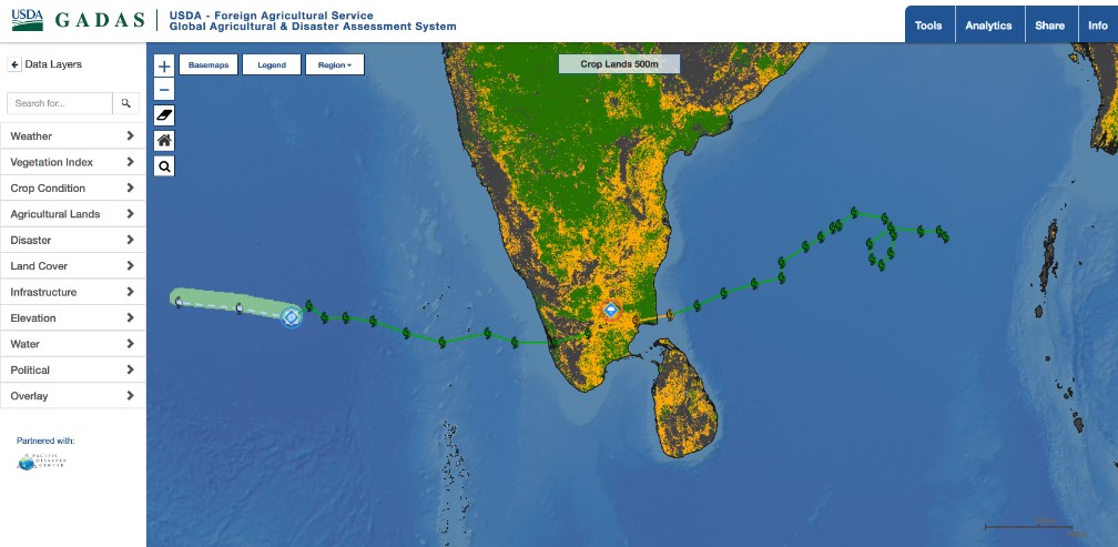
GADAS
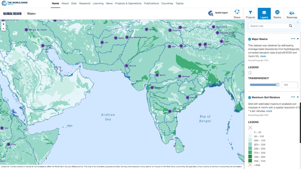
Spatial Agent Global Reach
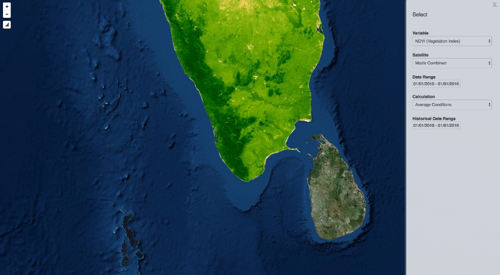
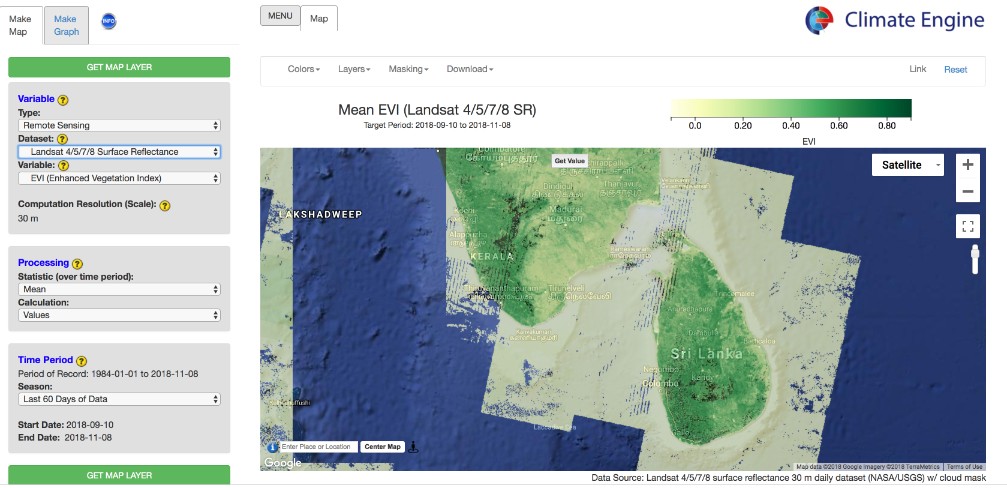
Climate Engine
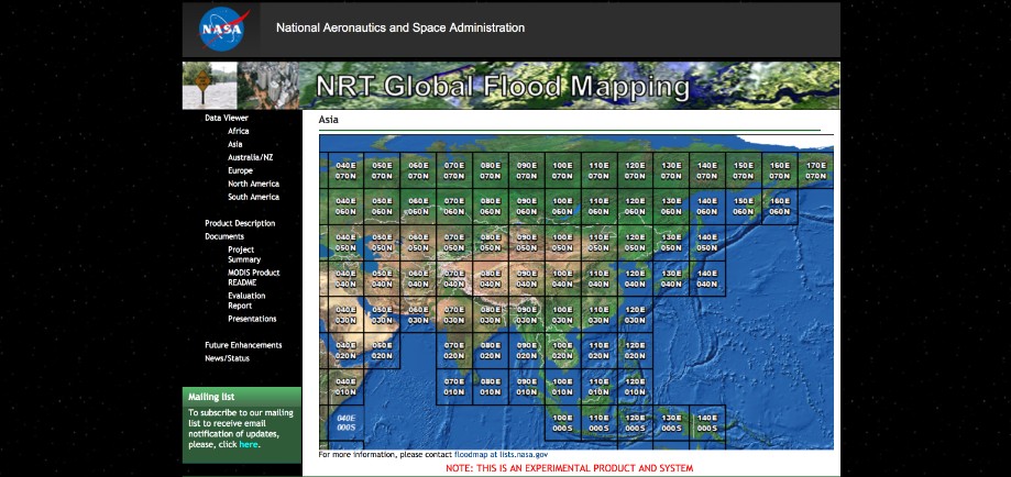
MODIS Flood Mapper
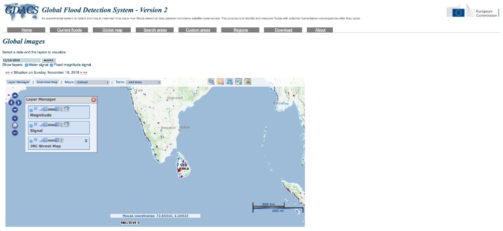
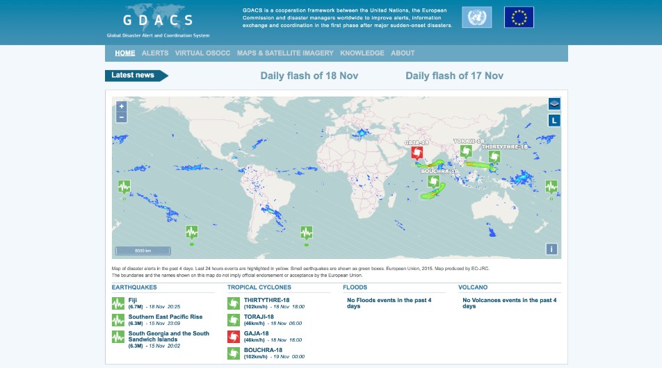
GDACS
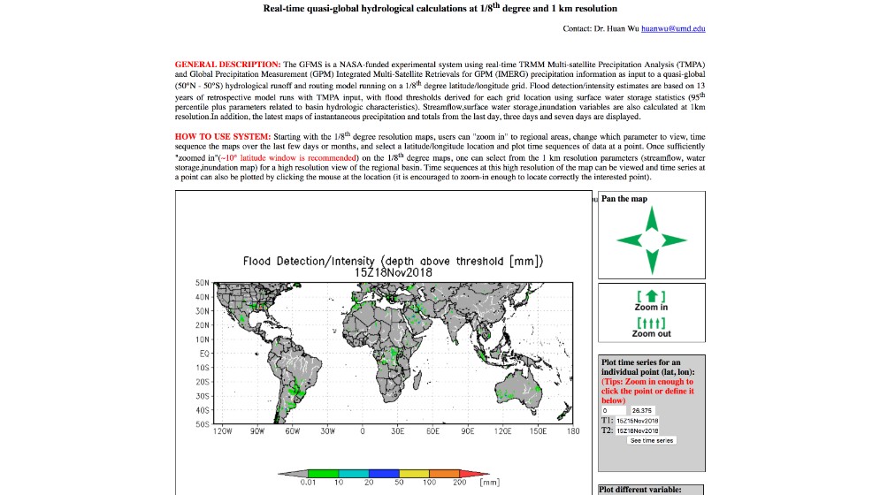
GFMS
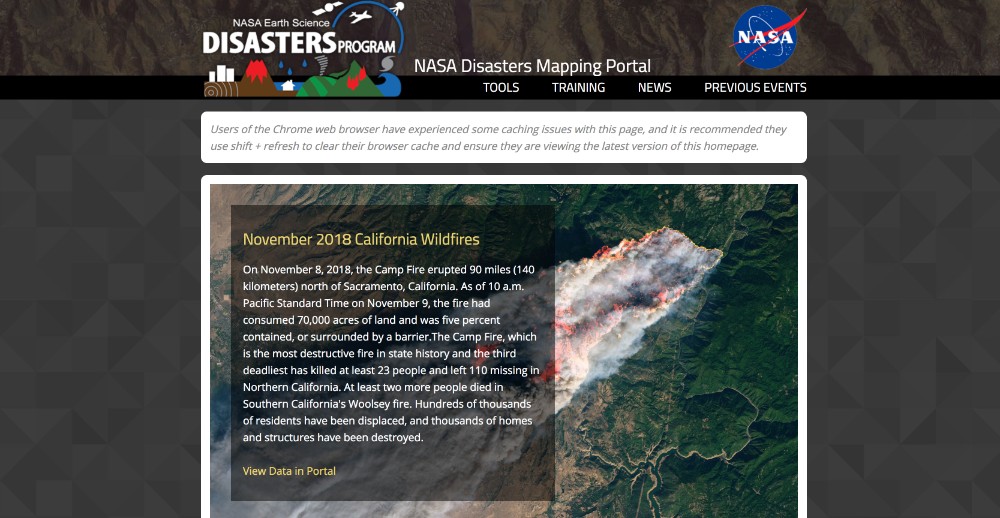
NASA Disasters Portal
IWMI Flood
GDACS
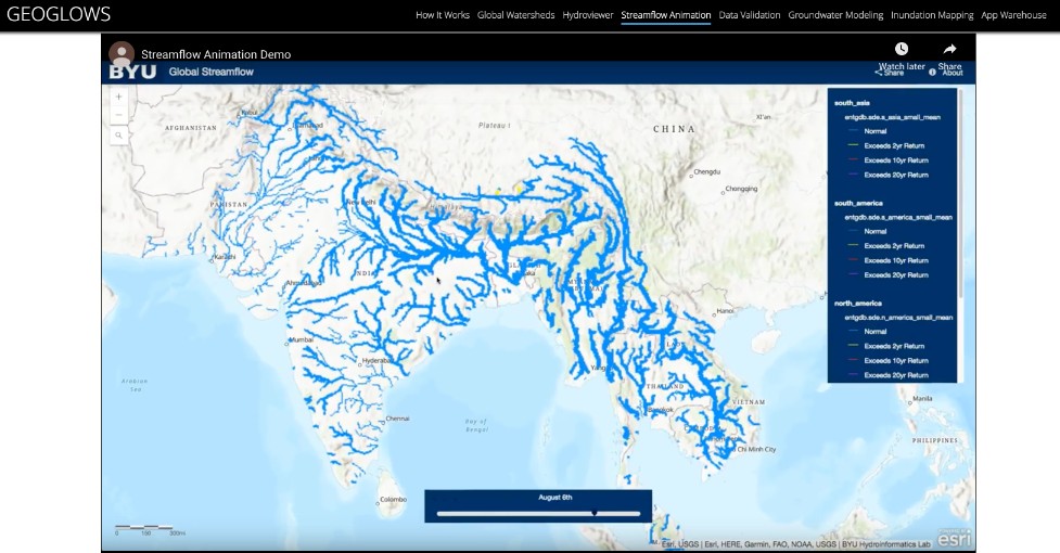
GEOGLOWS Global Streamflow Estimator
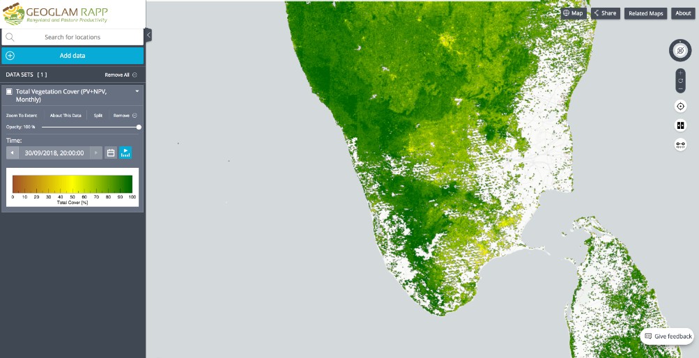
GEOGRLAM RAPP
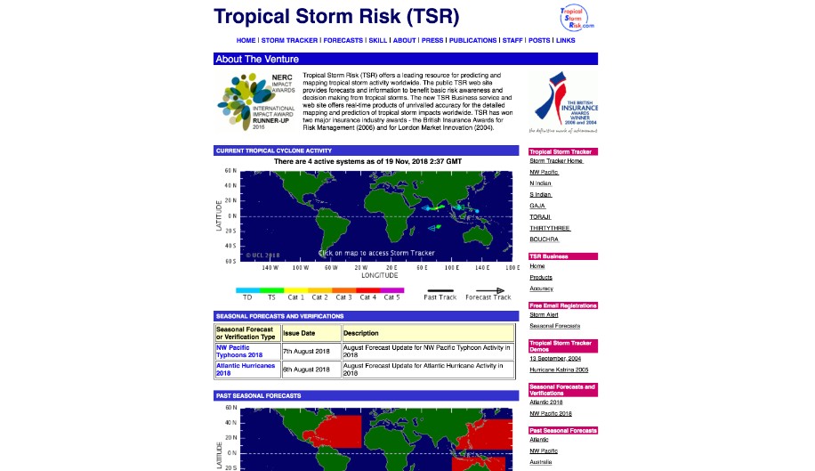
Tropical Storms
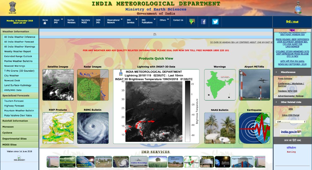
IMD
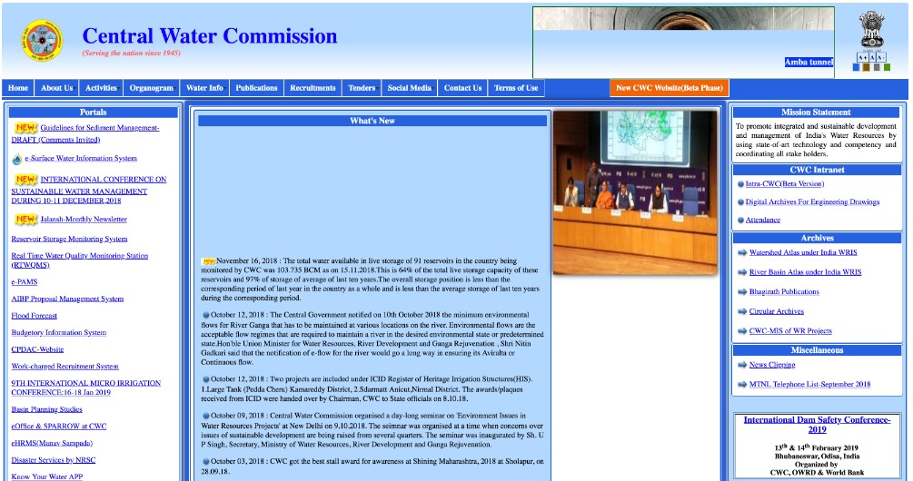
CWC
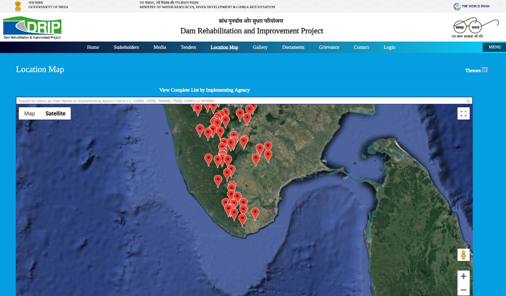
DRIP Dams
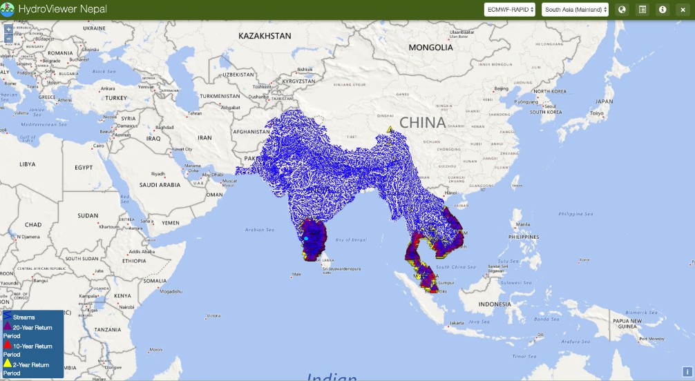
Streamflow Estimator
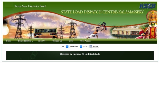
KSEB Reservoirs
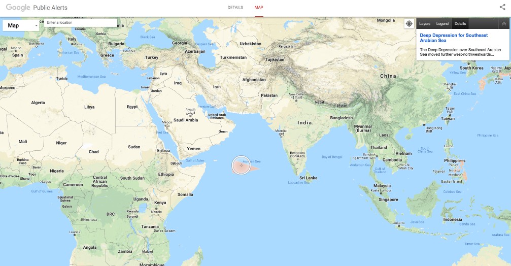
Google Public Alerts
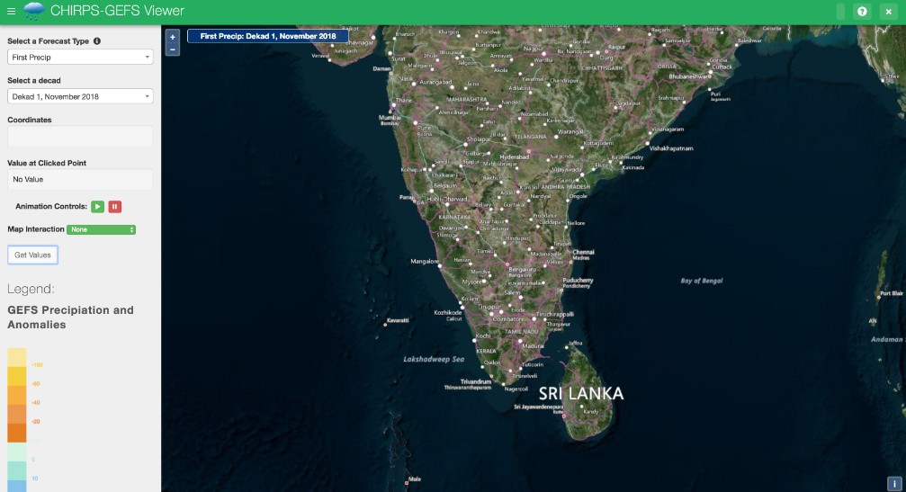
CHIRPS Rainfall
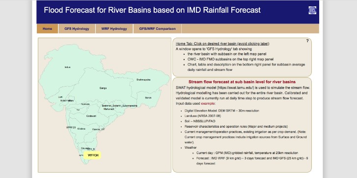
INRM Flood Forecast
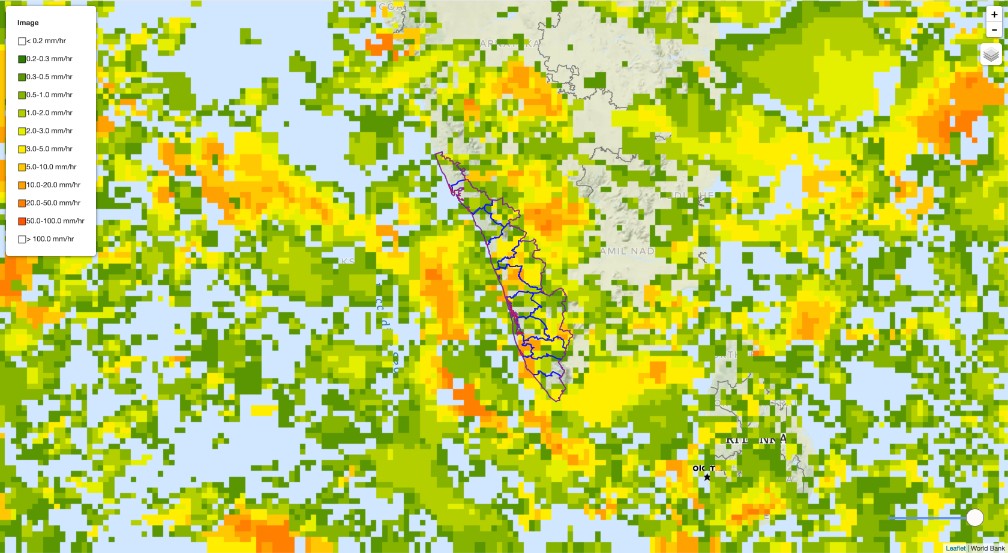
Satellite Precipitation (NASA GPM)
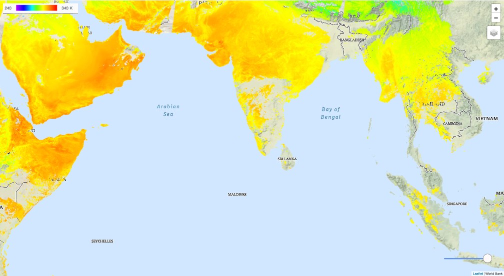
Satellite Temperature
Landslides
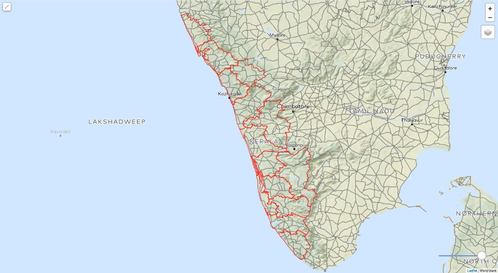
Roads
Pasturelands