×
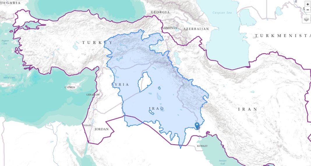
MASHREQ WATER RESOURCES PORTAL
All
Environmental
Social
Economic
Climate
Water
Disasters
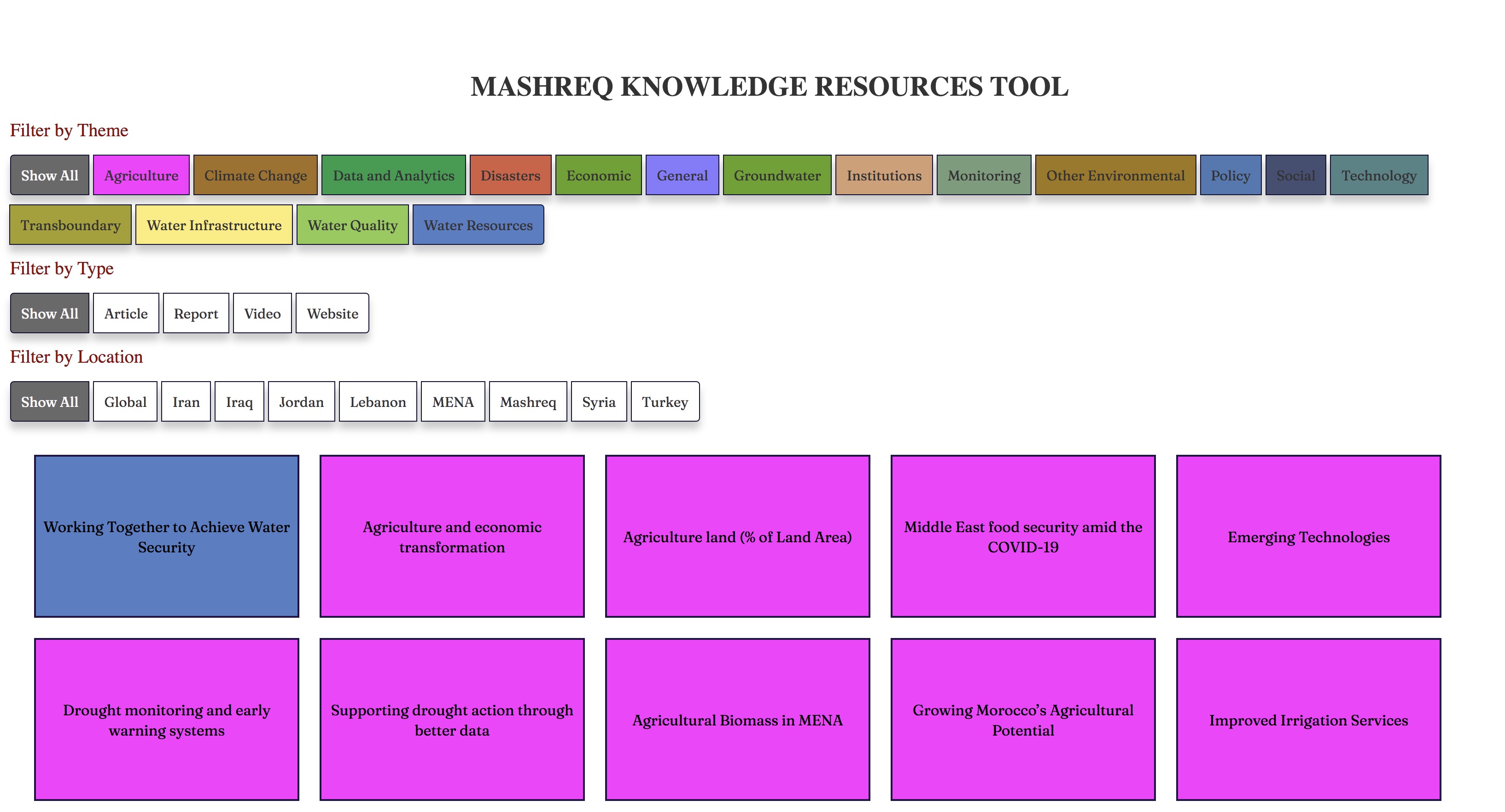
GW Knowledge Resources Explorer
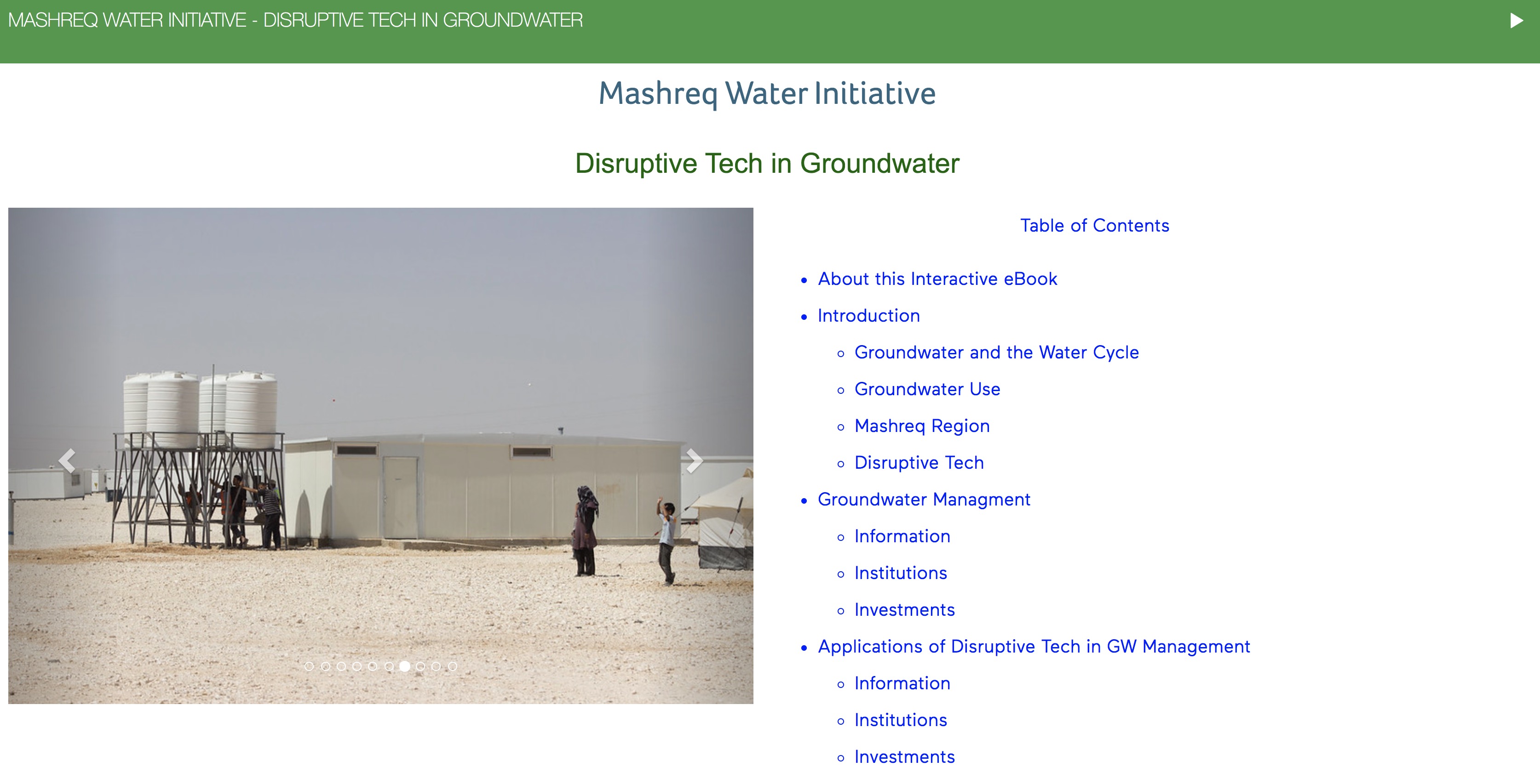
Mashreq Groundwater DT eBook
Water Transition
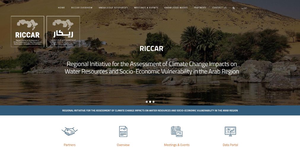
RICCAR
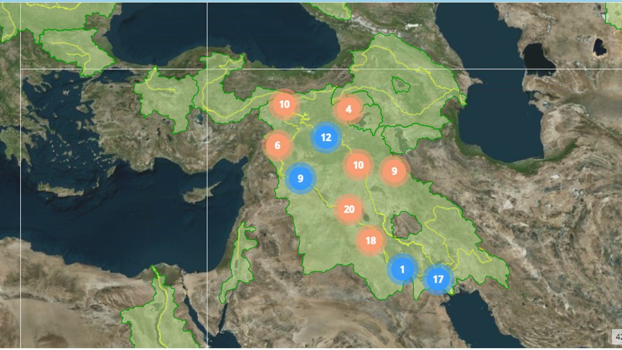
Satellite Water Body Monitoring
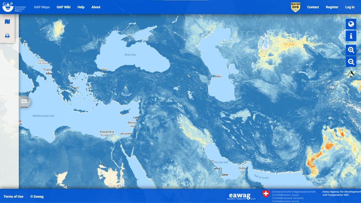
GAPmaps
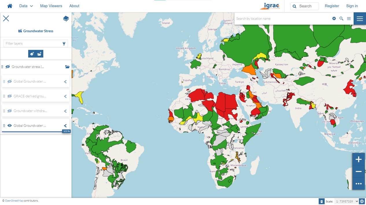
Global Groundwater Information (IGRAC)
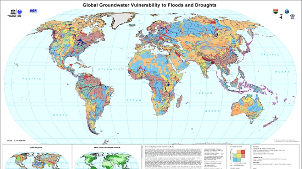
Groundwater Resources (BGR & UNESCO)
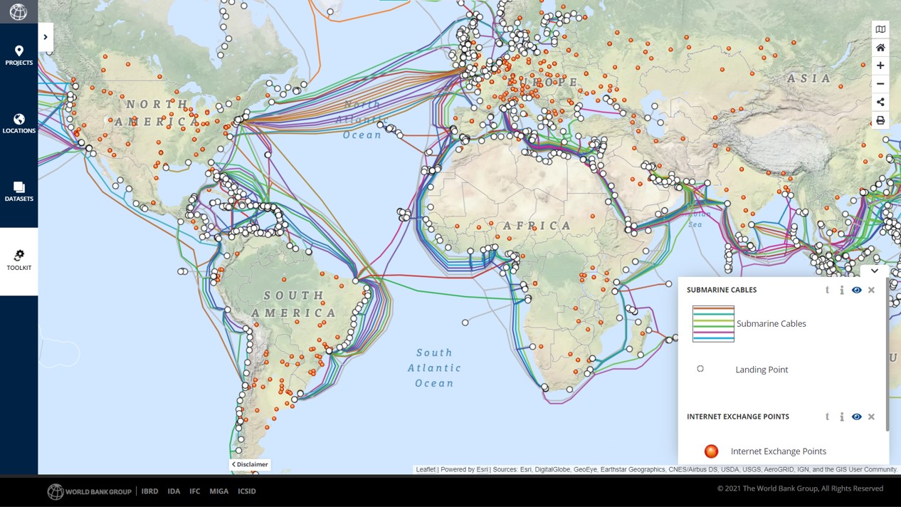
Digital Infrastructure
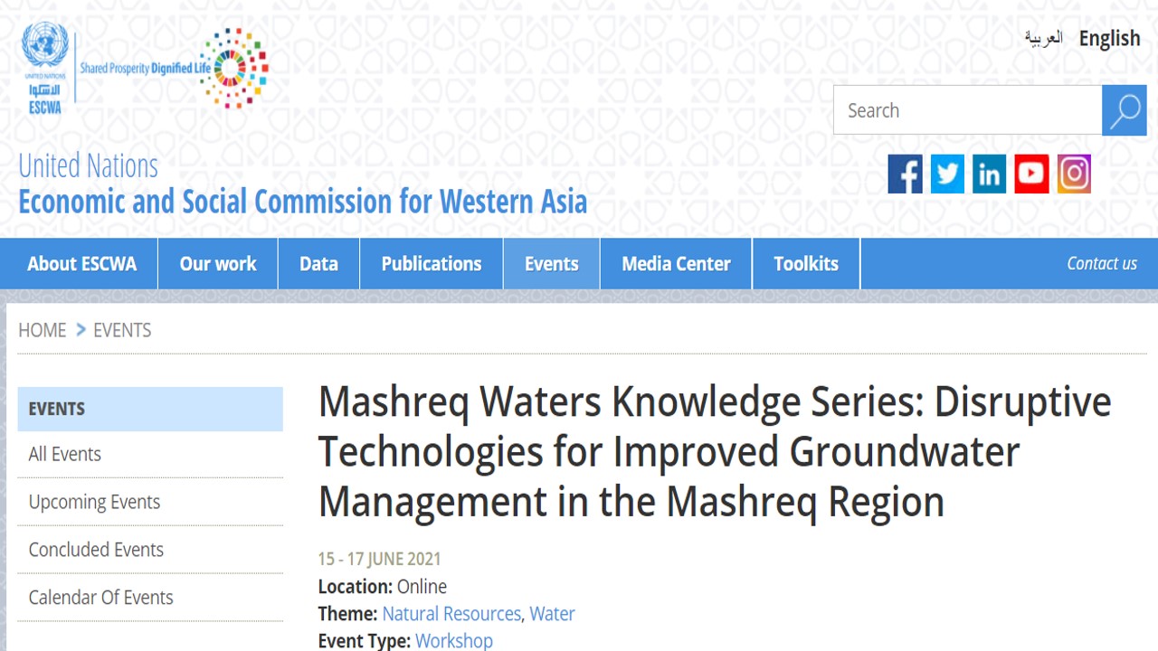
Mashreq Water Knowledge (UNESCWA)
JRC Urban Explorer
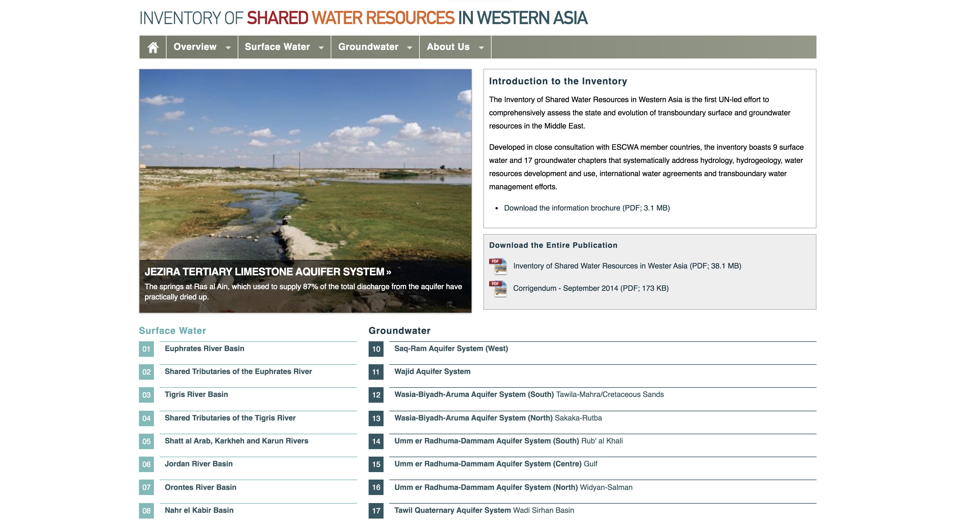
Water Inventory
Fishing Watch
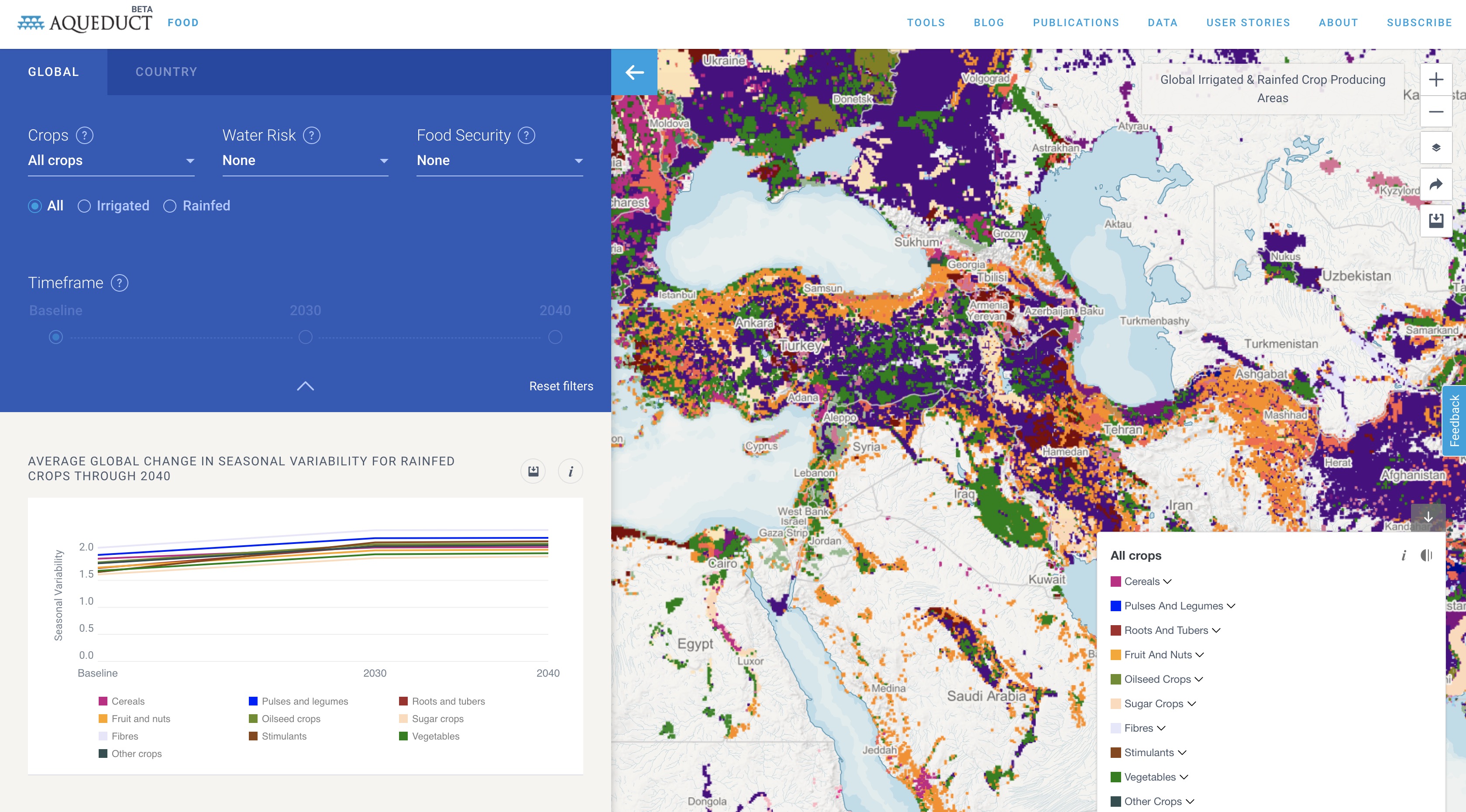
Aqueduct Food
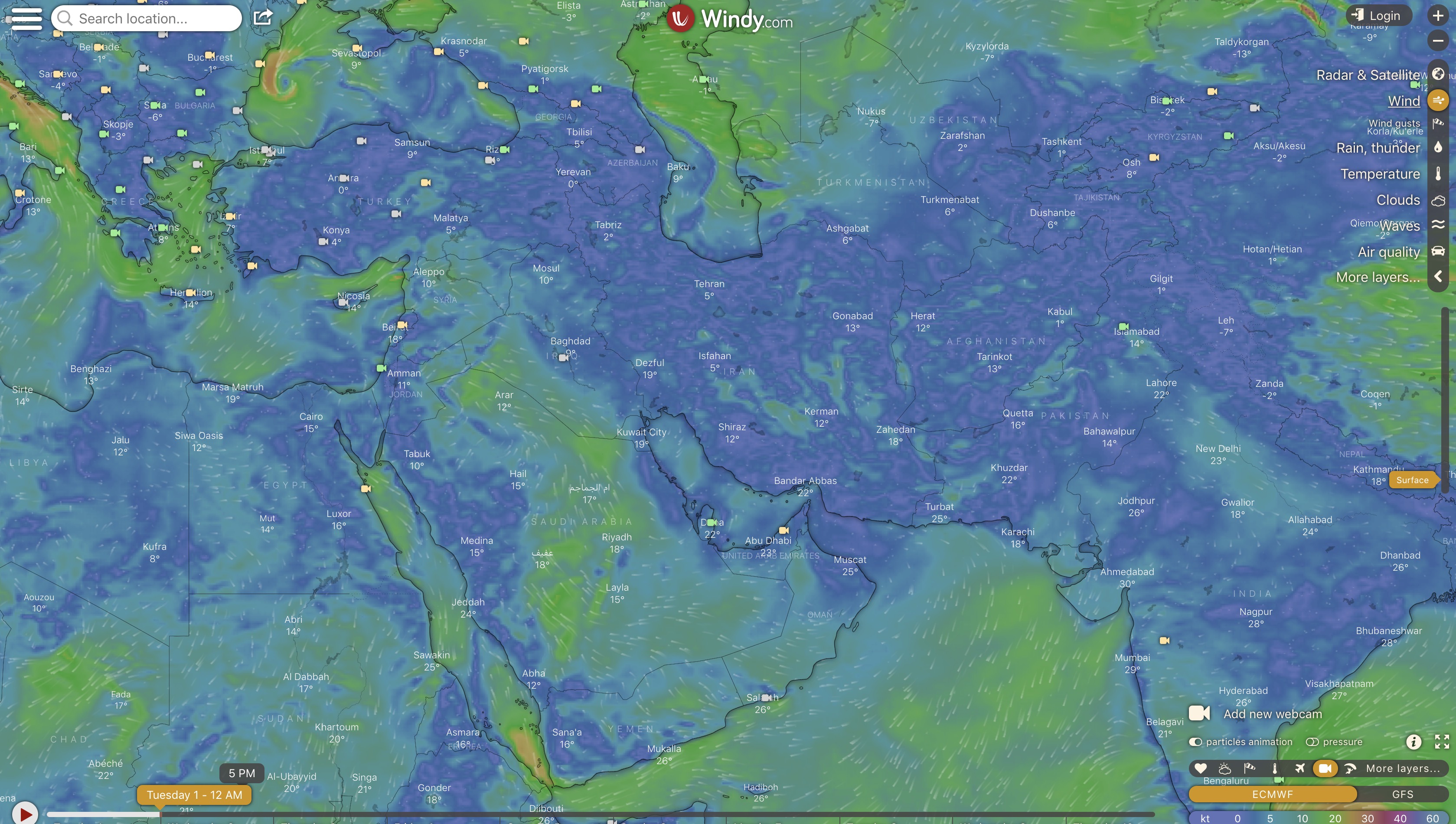
Windy
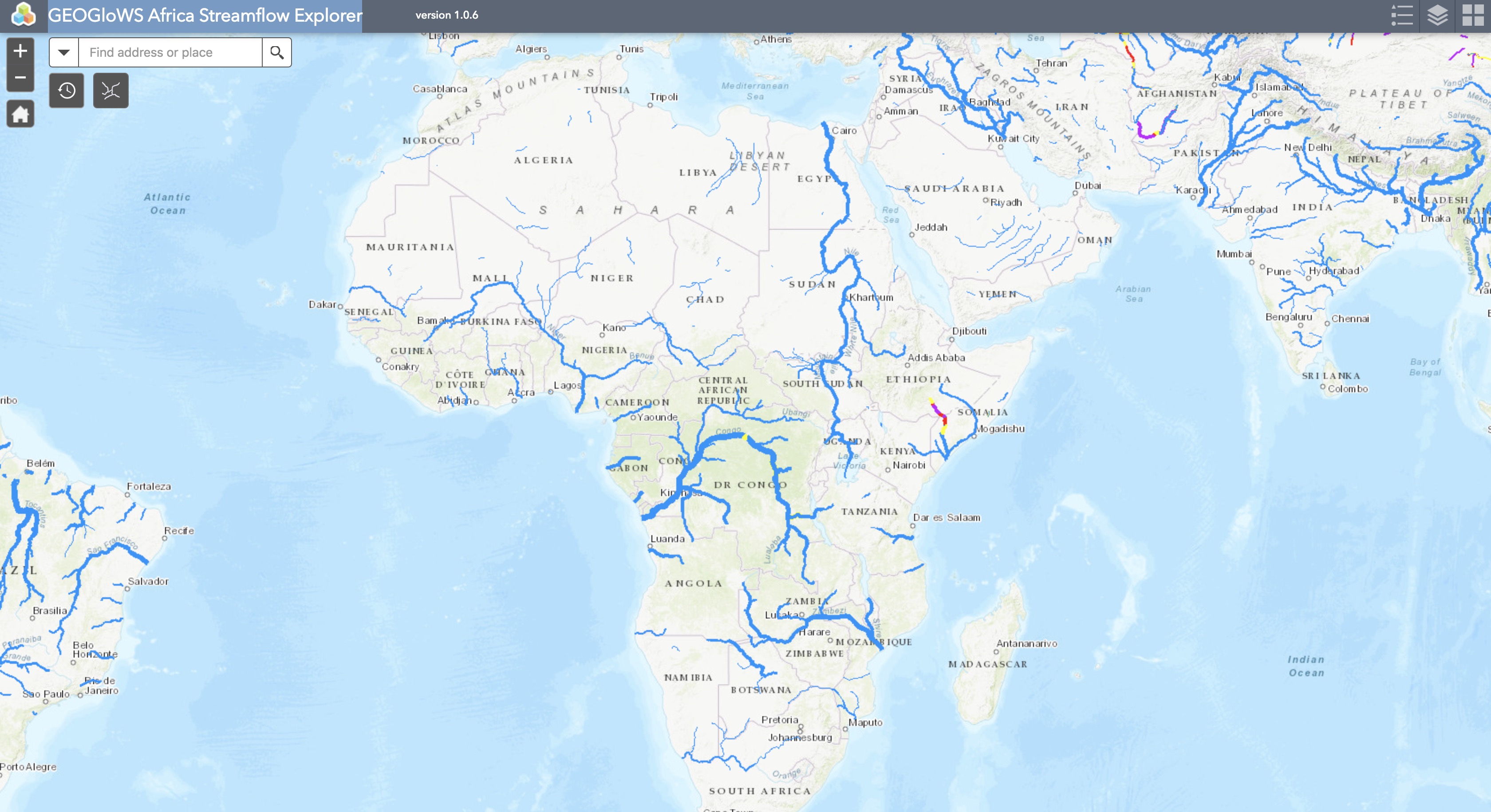
GEOGloWS Streamflow Explorer
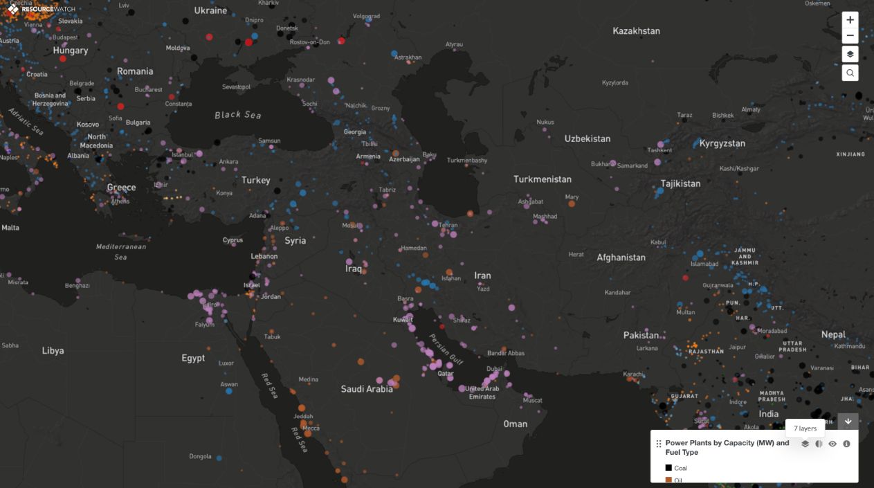
Power Plants
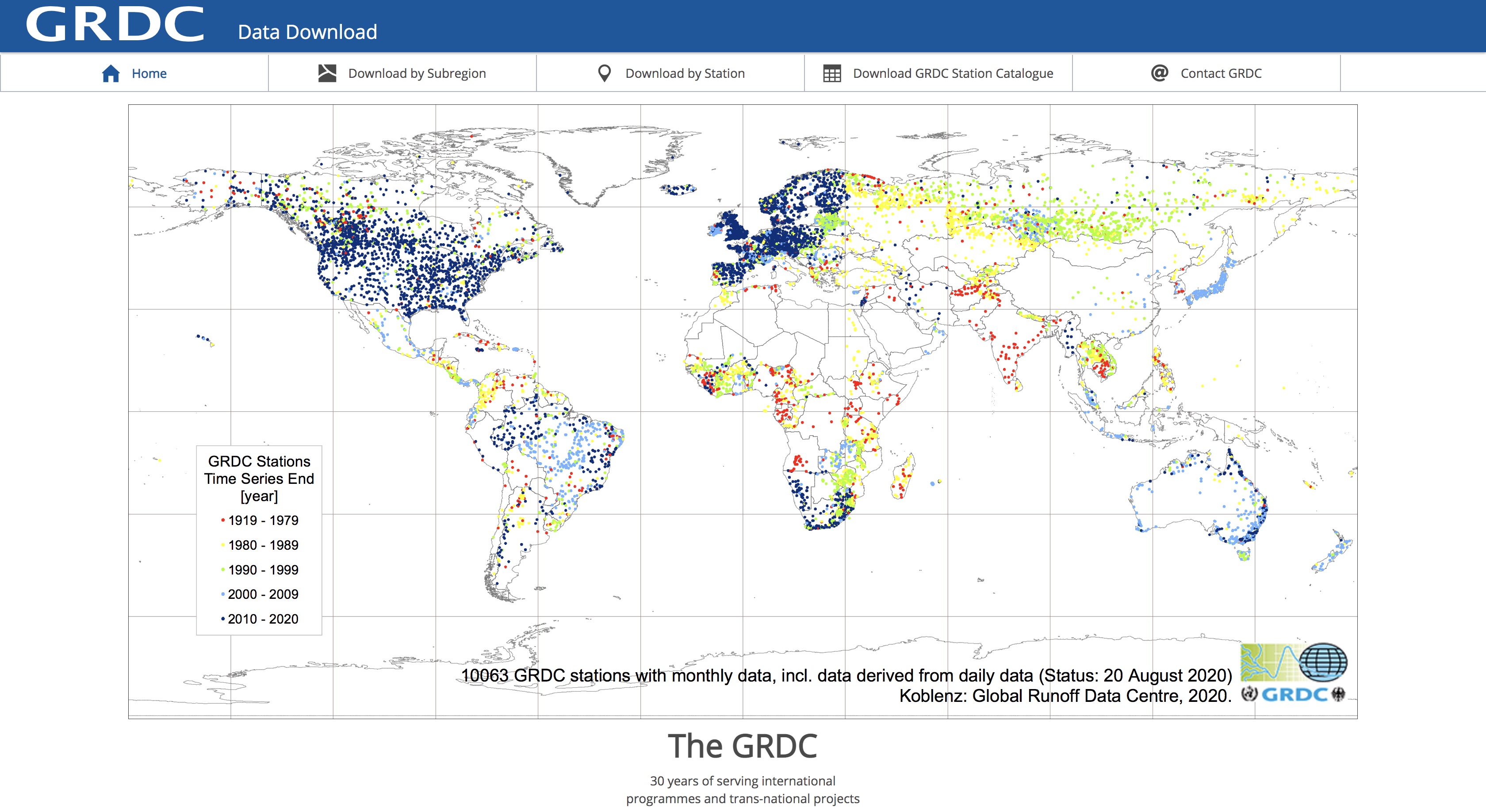
GRDC
Watershed Delineation
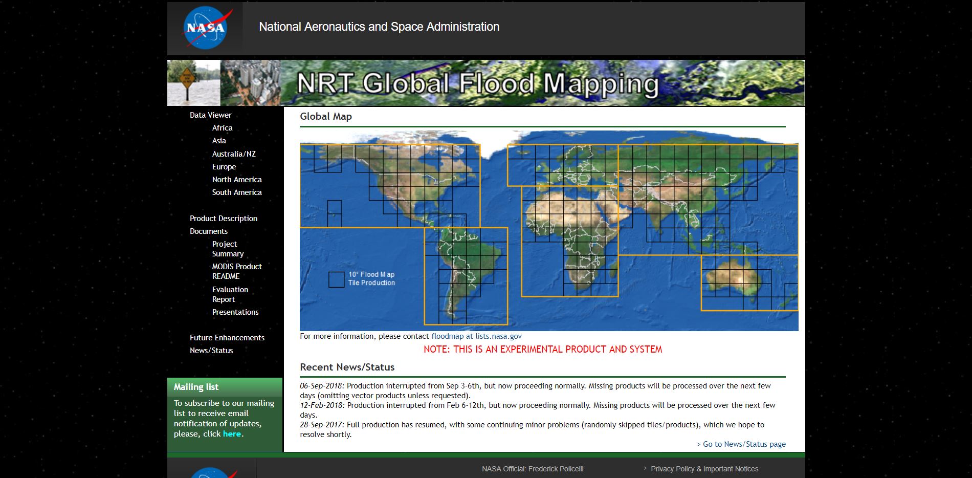
NASA Disasters Portal
Climate Stations
Earth Engine Water Watch
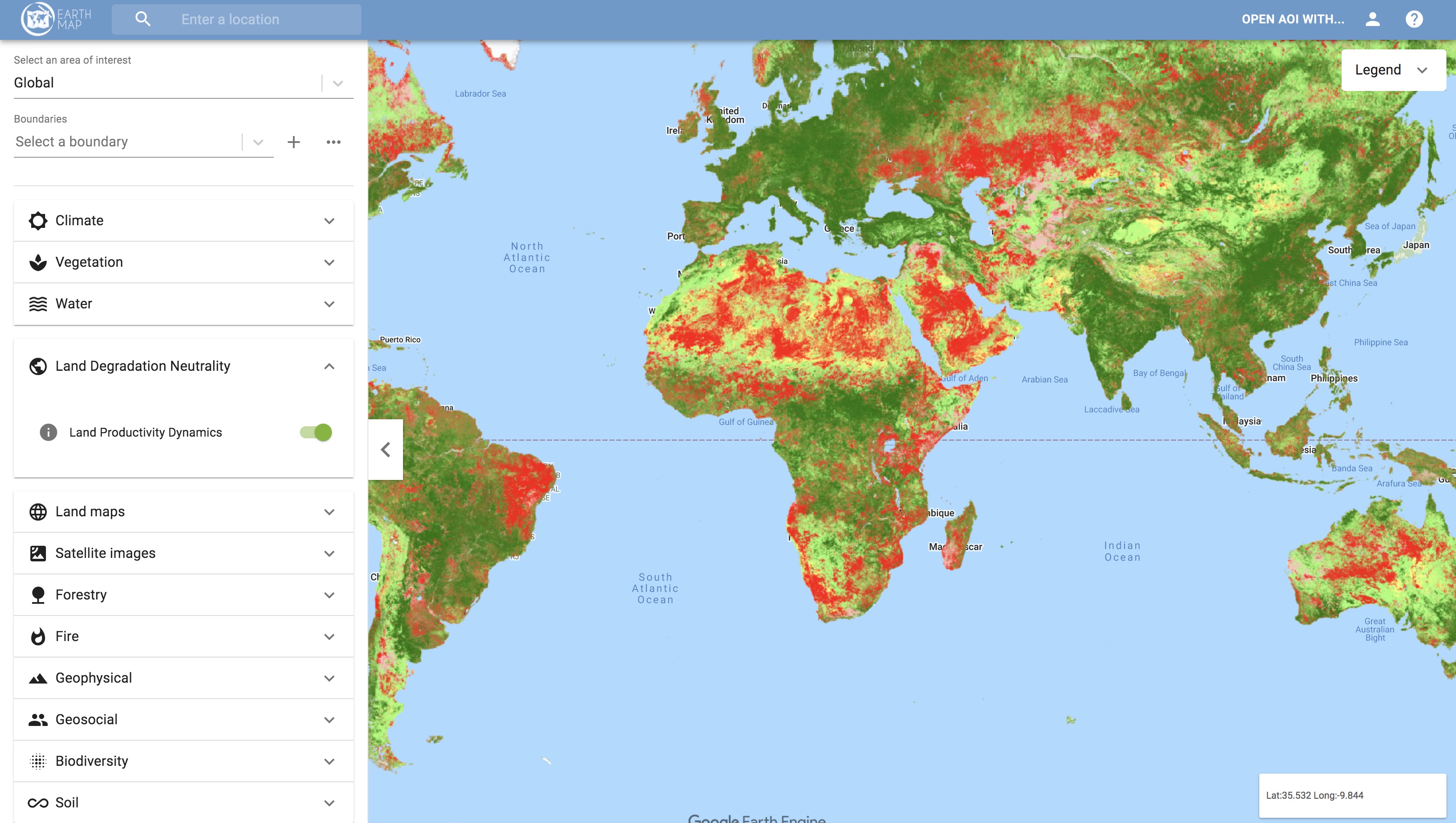
EarthMap (FAO)
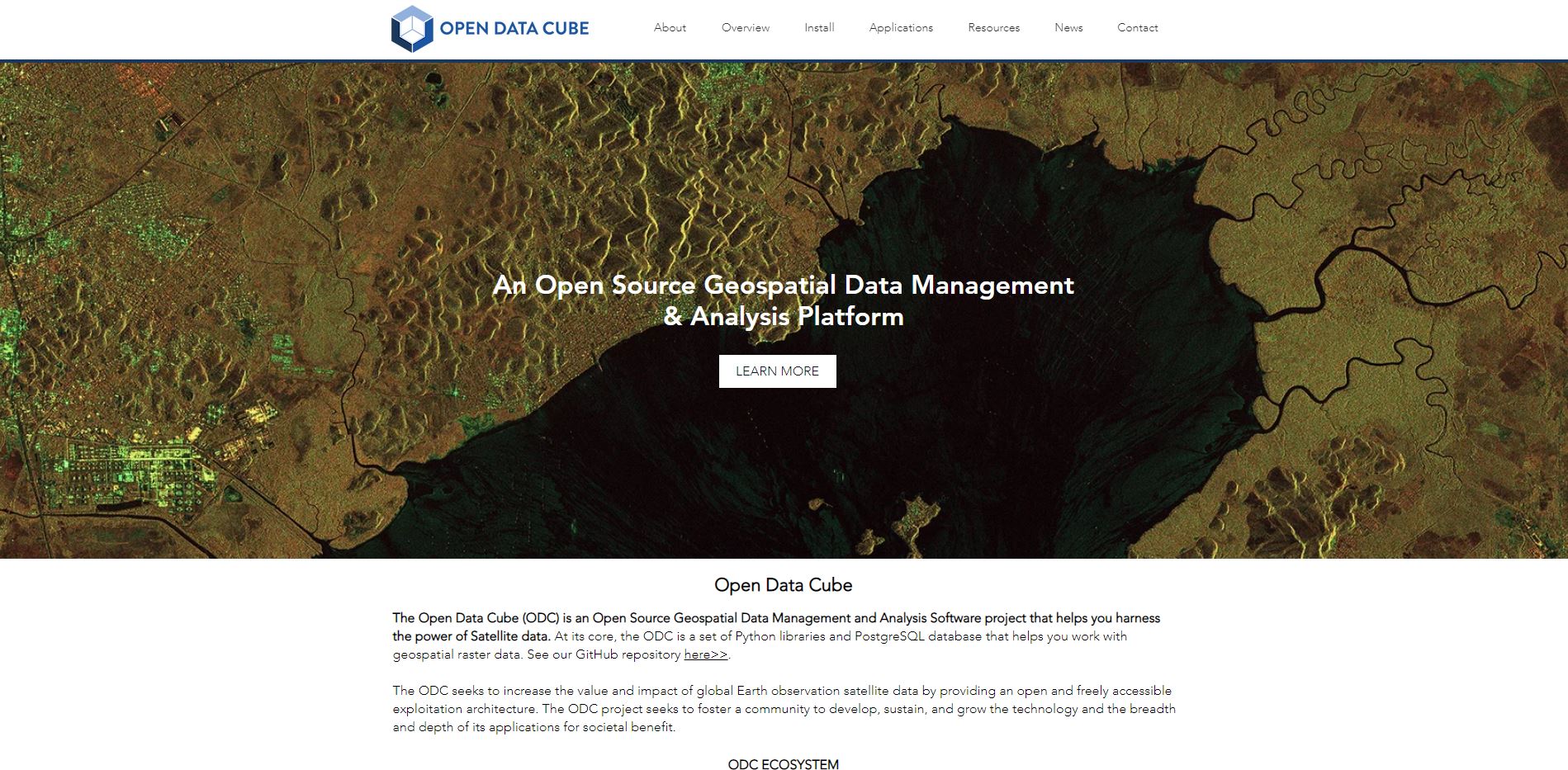
Open Data Cube
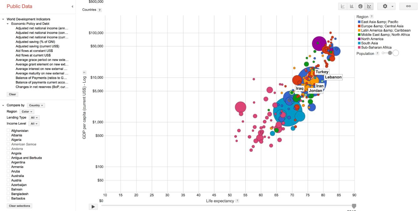
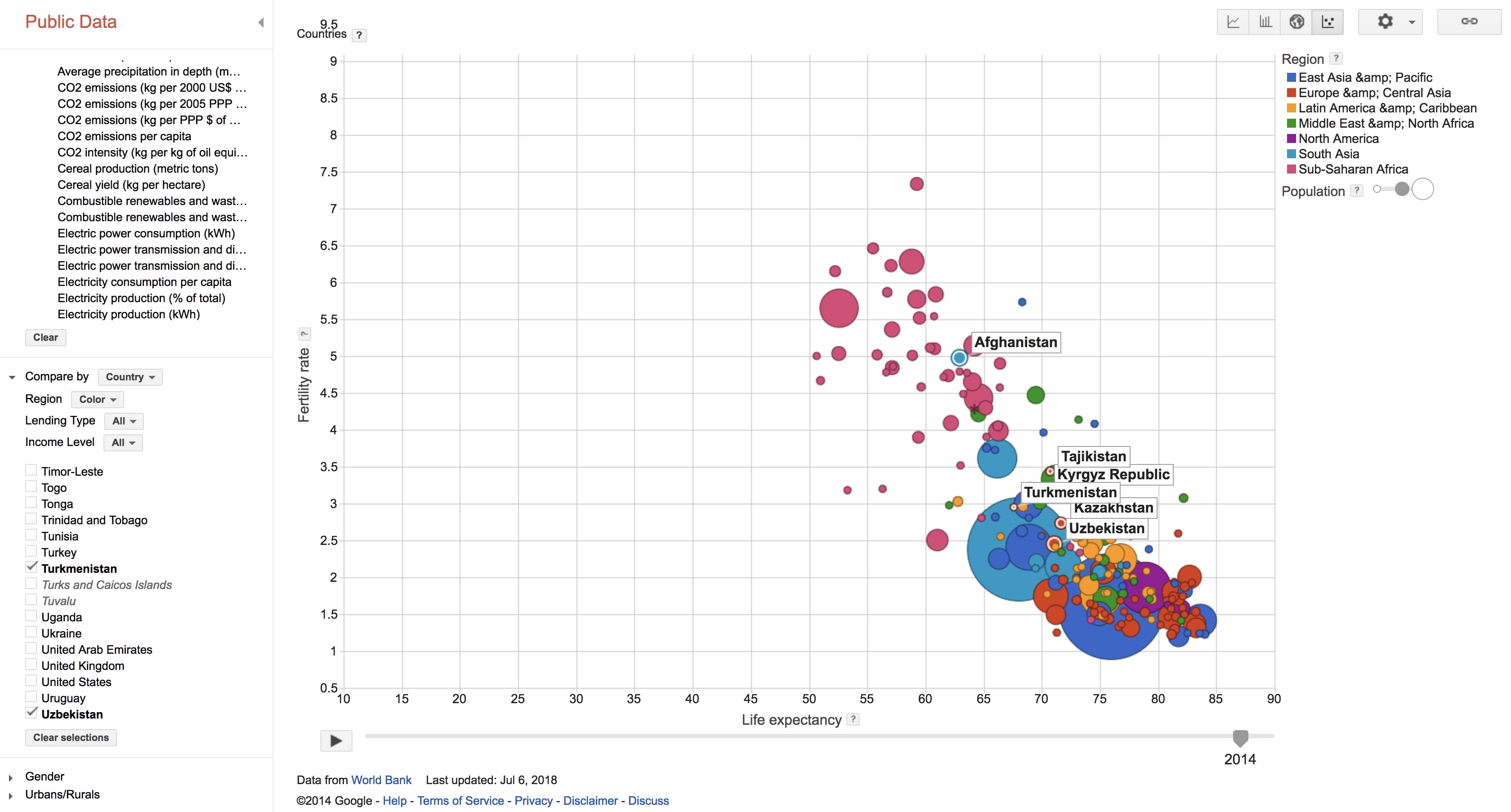
Motion Charts
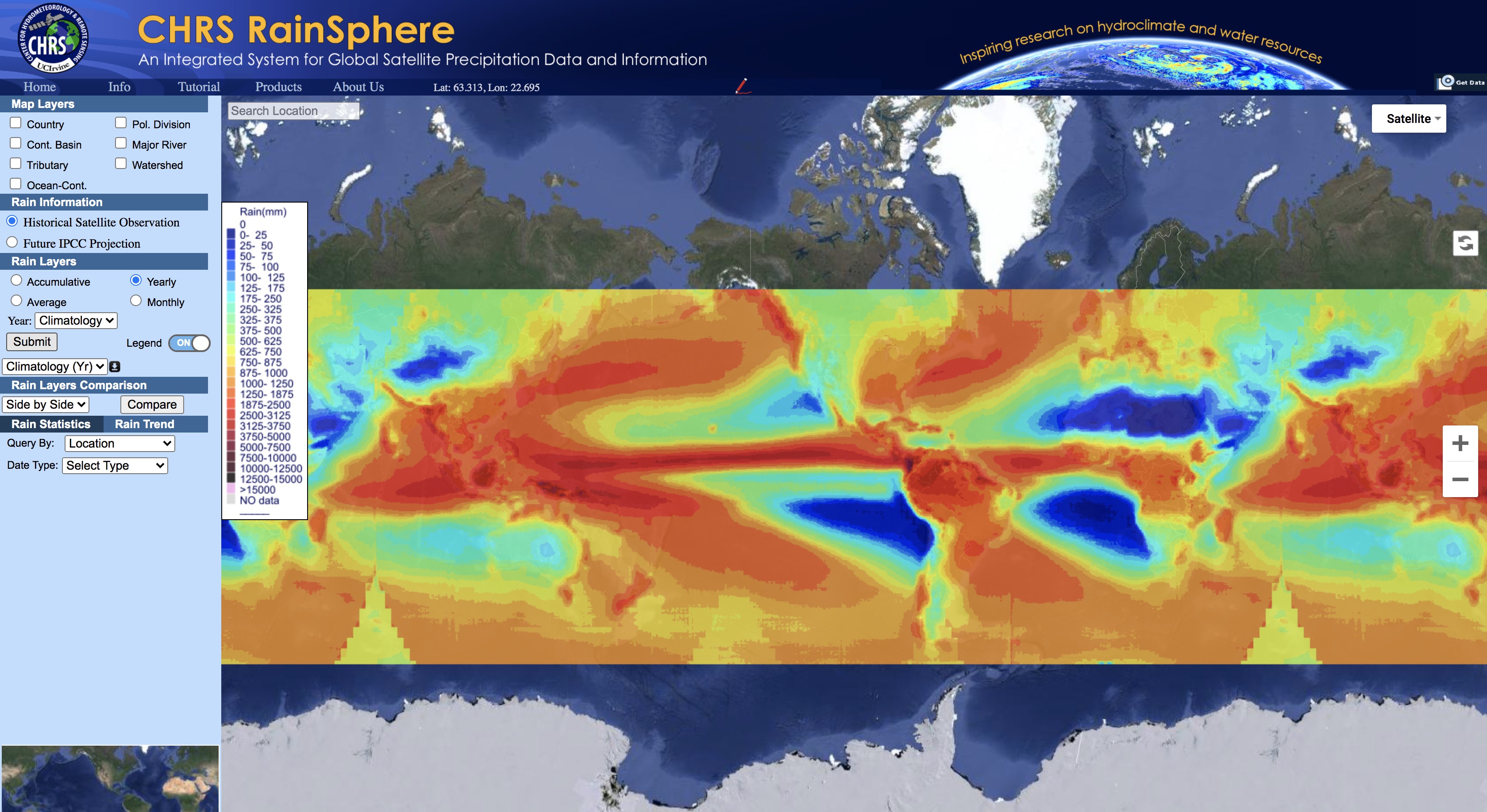
CHRS RainSphere
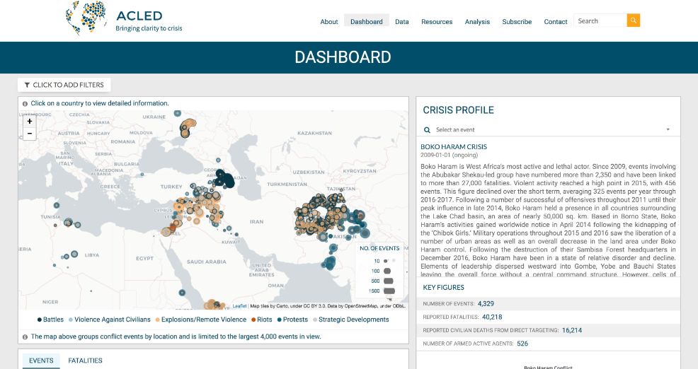
ACLED Conflict Data
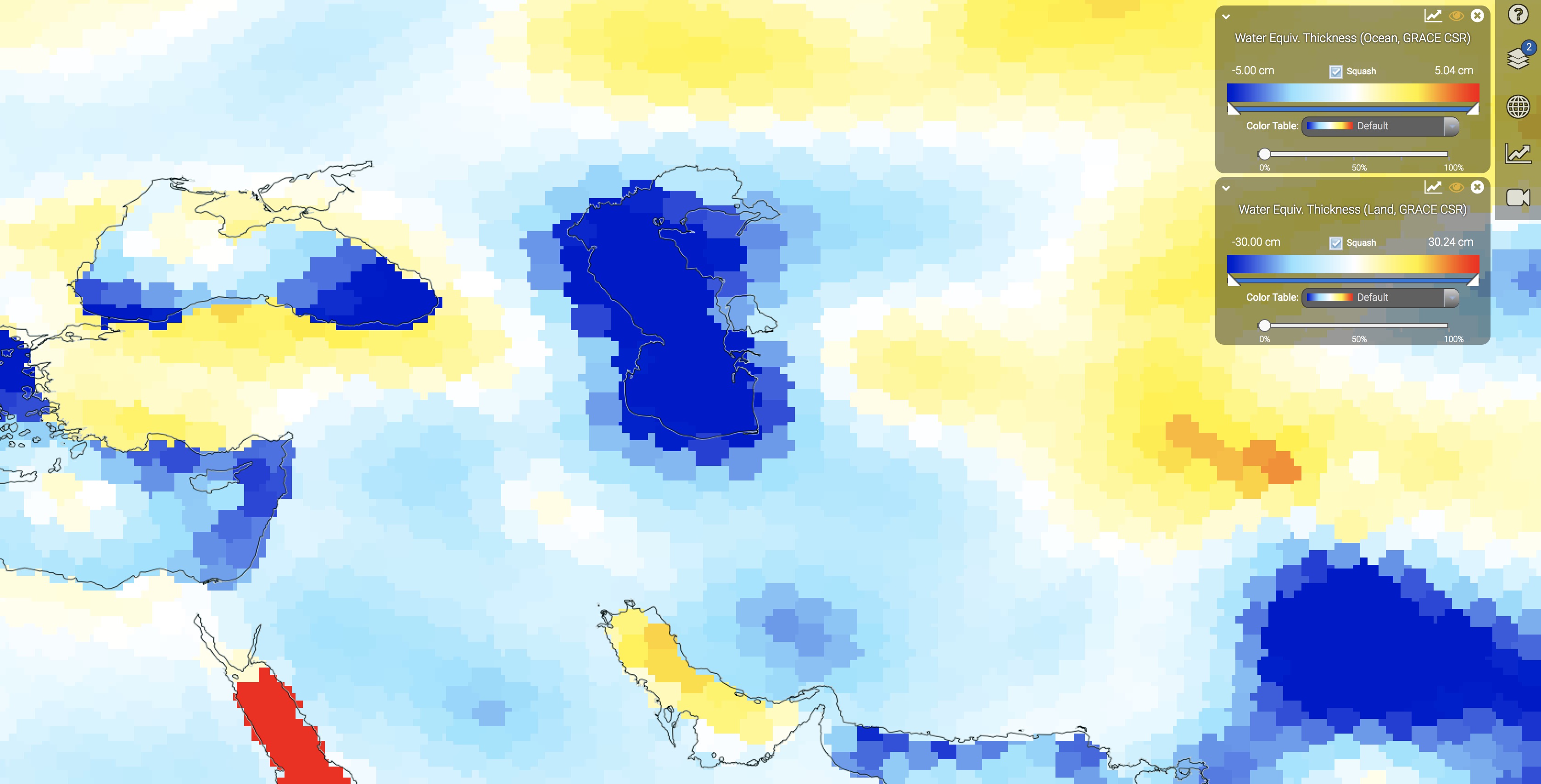
GRACE Groundwater
Cities
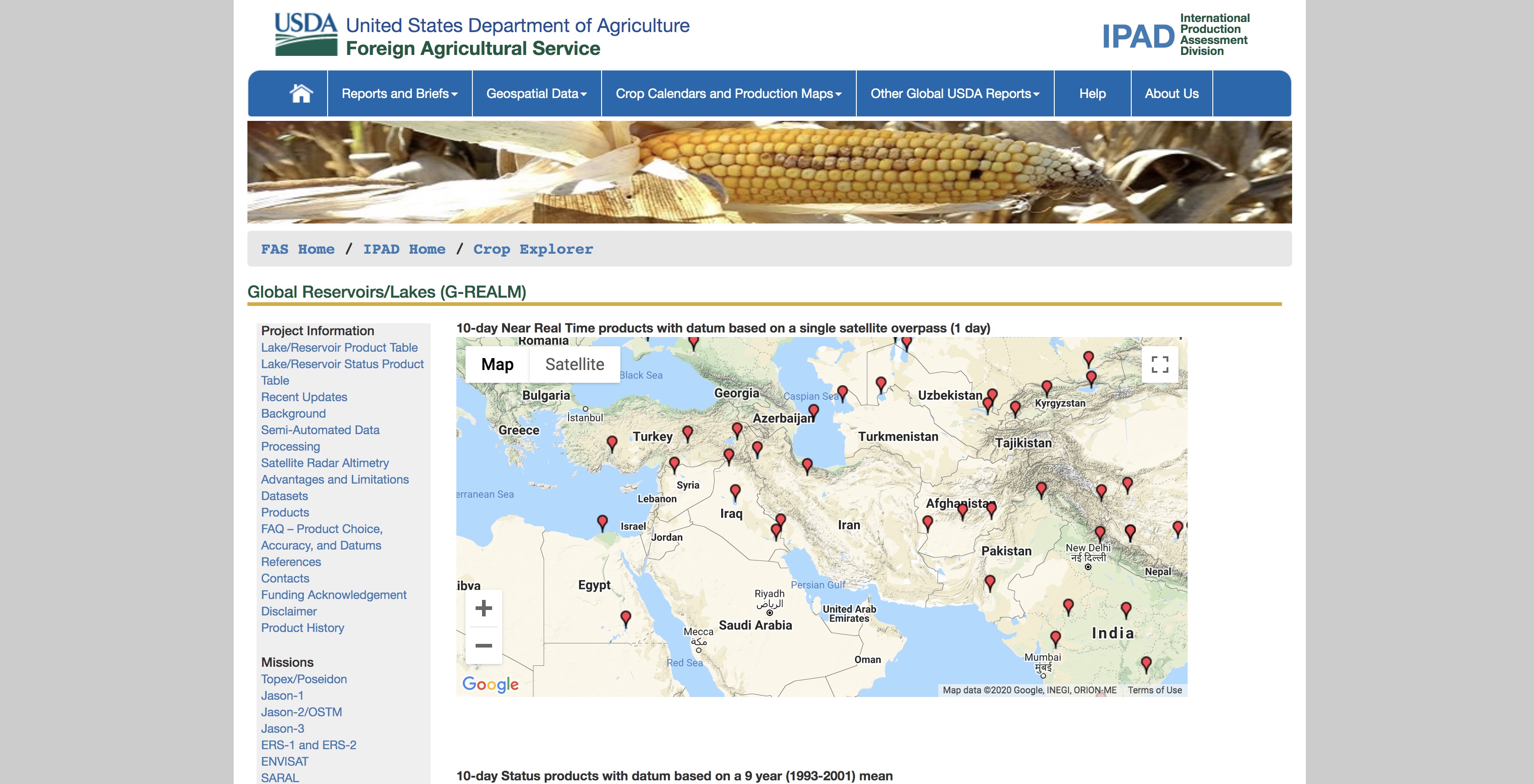
Lake Levels
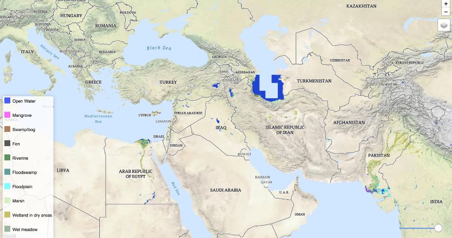
Global Wetlands
Climate Change Knowledge Portal
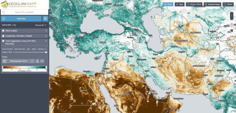
GEOGLAM RAPP
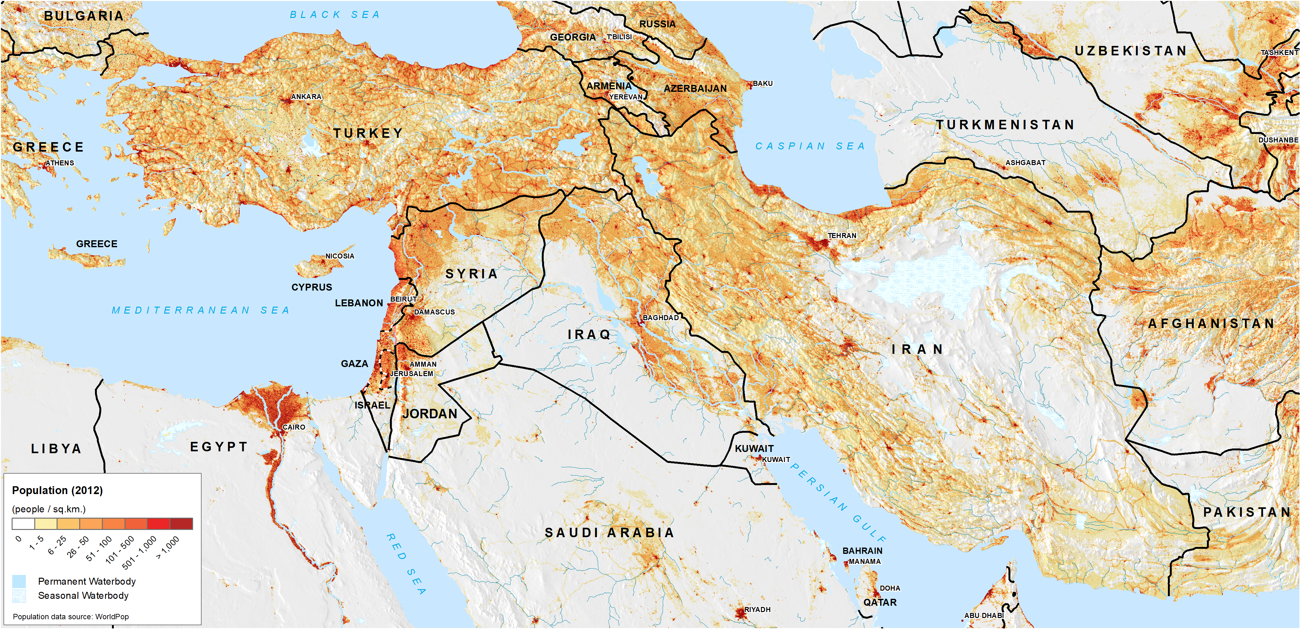
Population (Landscan)
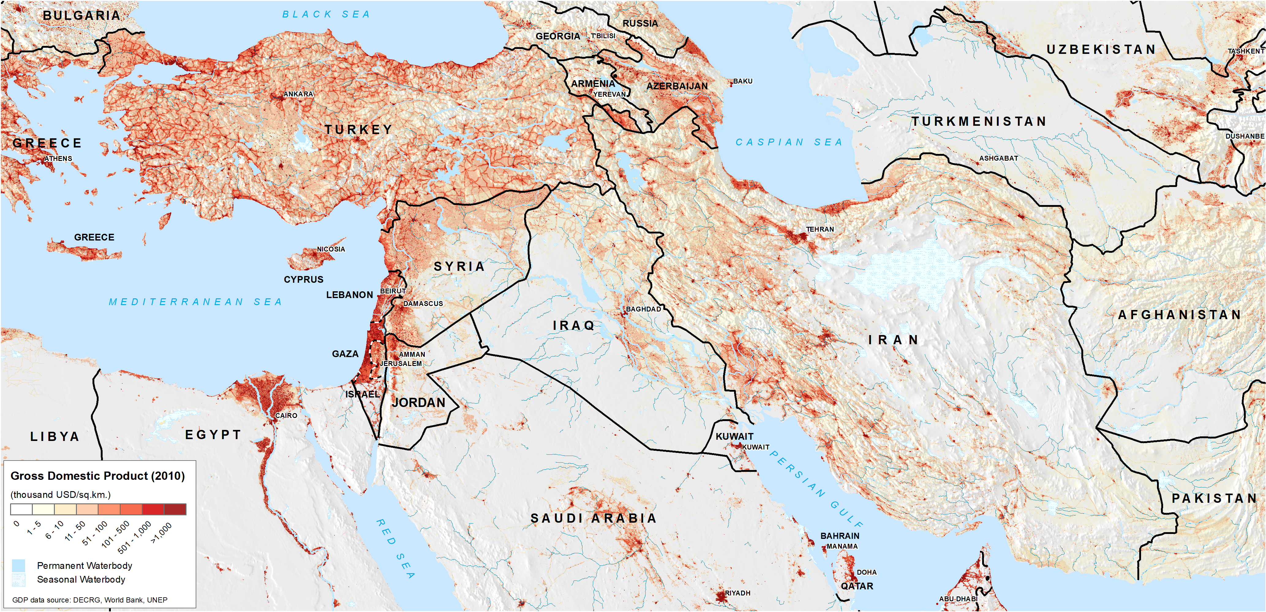
GDP
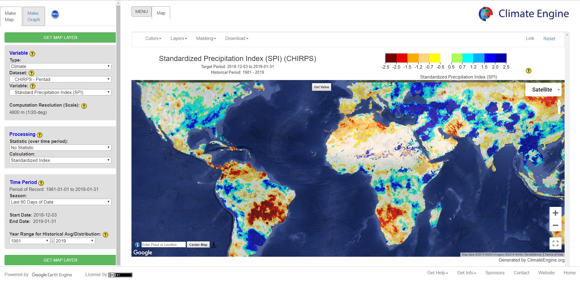
Climate Engine
MODIS Flood Explorer
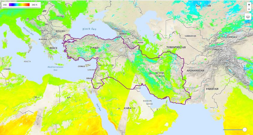
Satellite Temperature
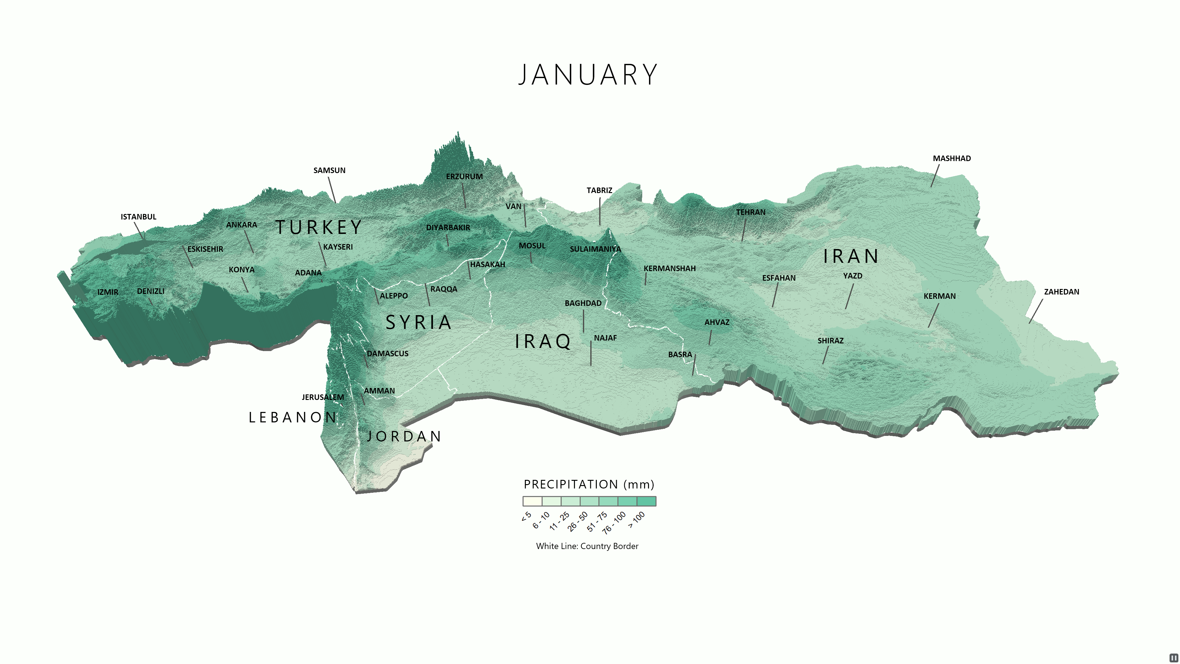
Precipitation (3D)
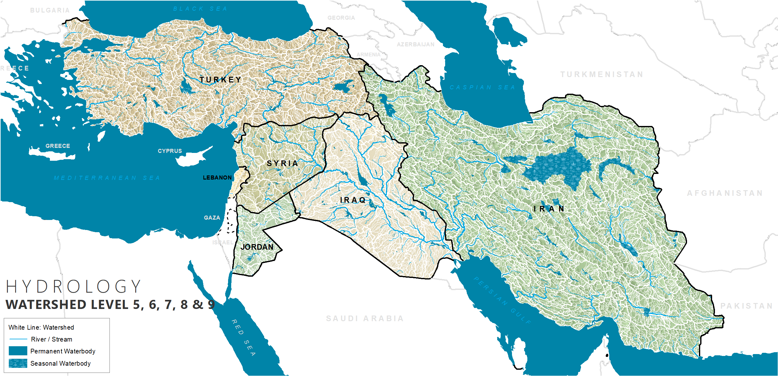
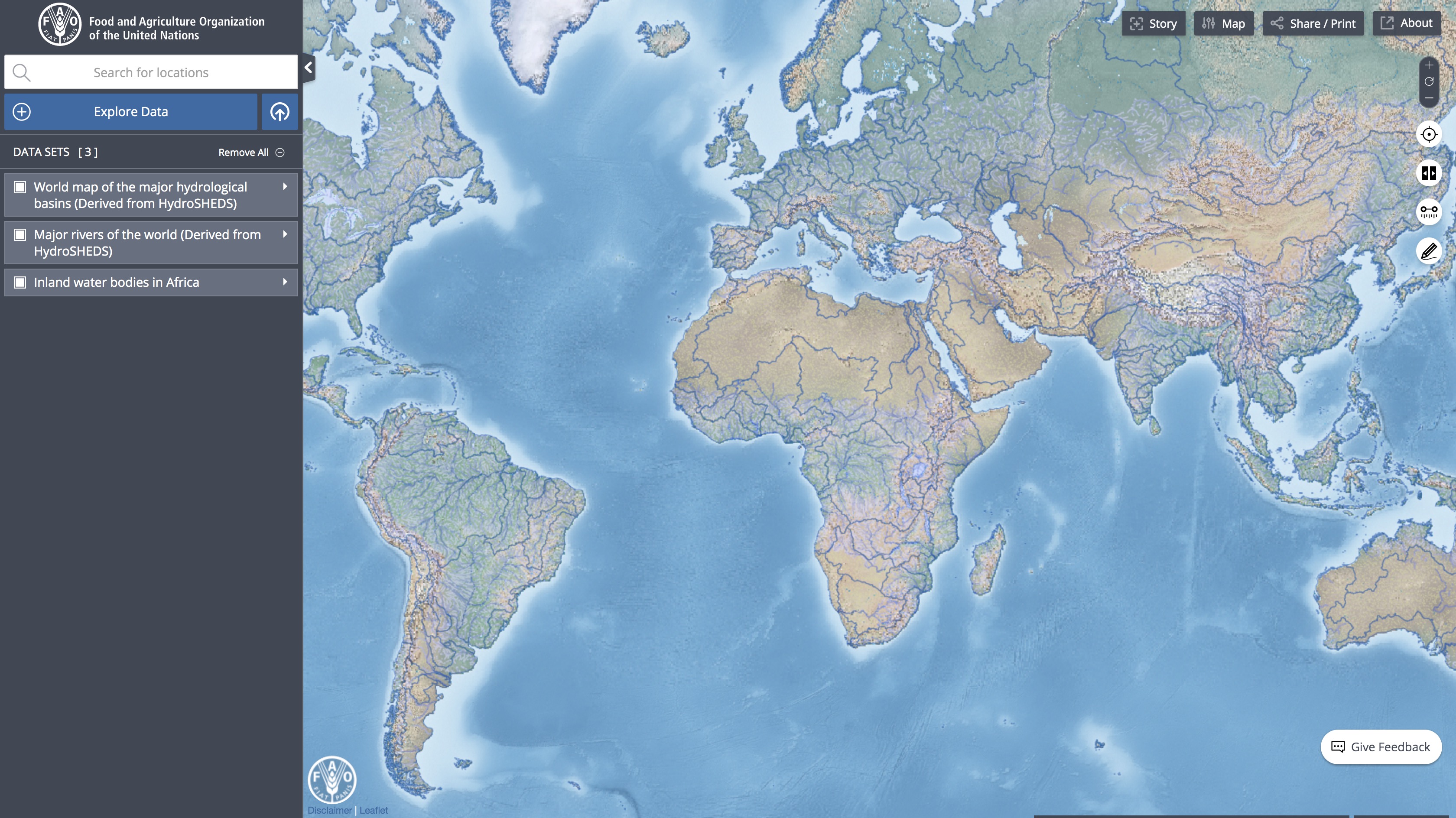
Hydrology - Basins
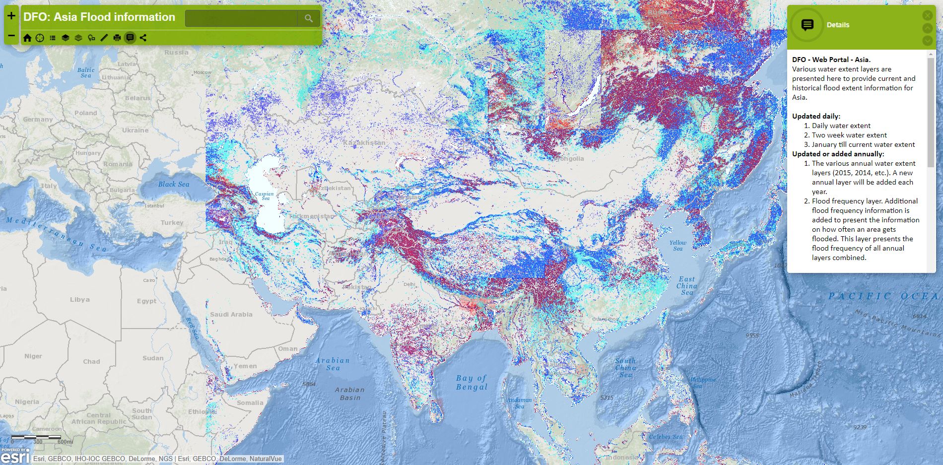
DFO App
WorldPop
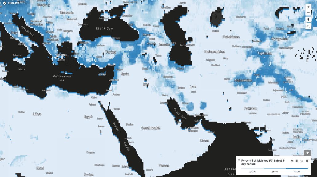
Soil Moisture
Aqua Maps (FAO)
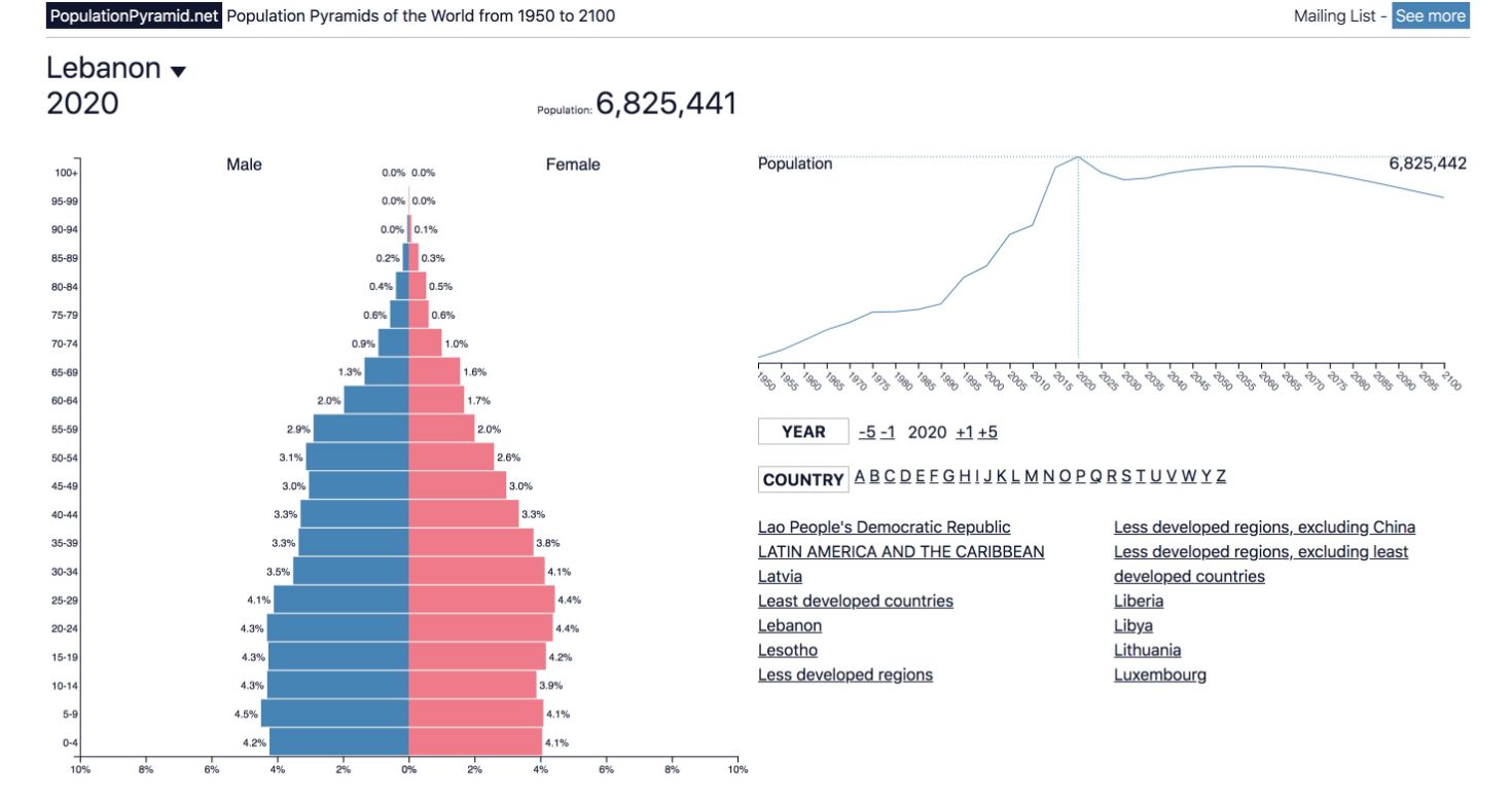
Population Pyramids
Urban Footprint
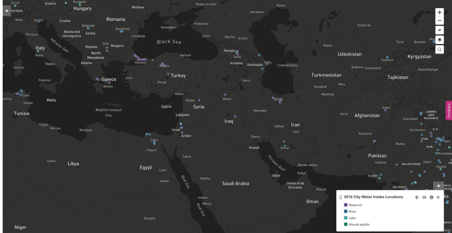
City Water Intakes
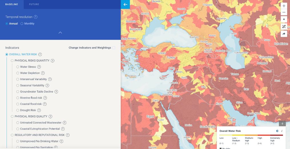
Water Stress (Aqueduct)
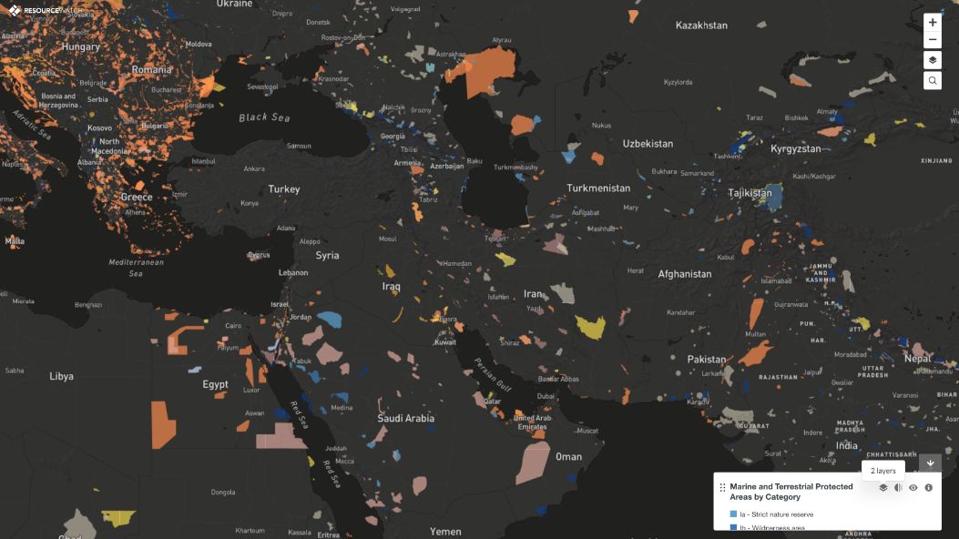
Protected Areas
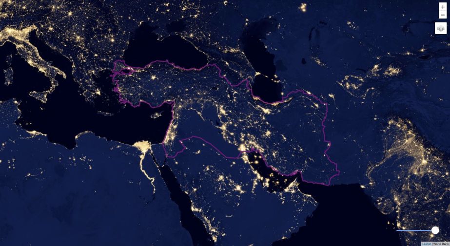
Night Lights
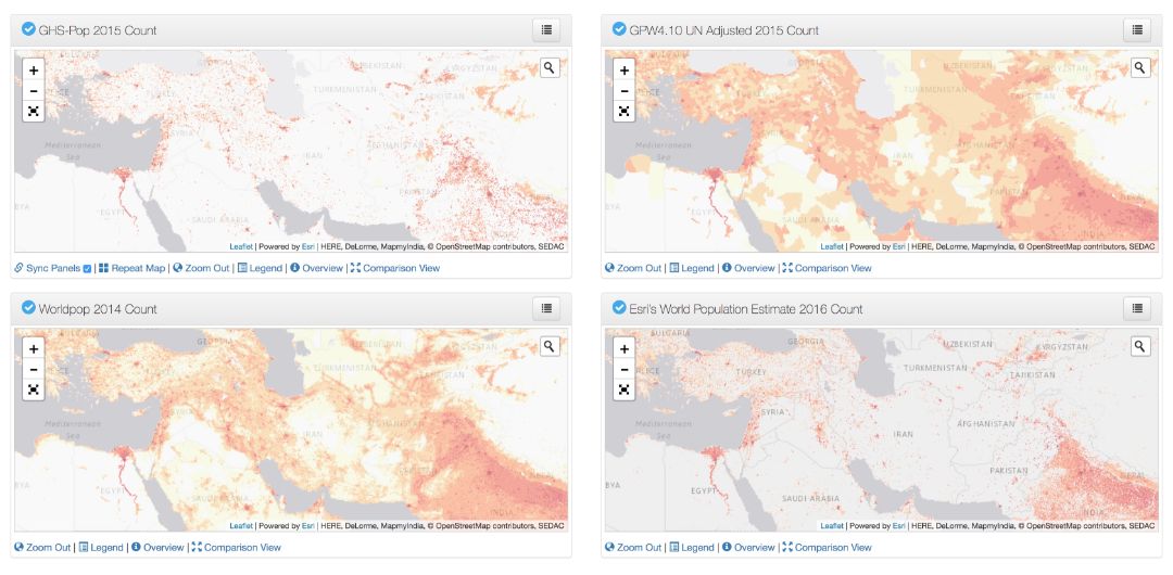
Pop Grid
Blue Peace Index
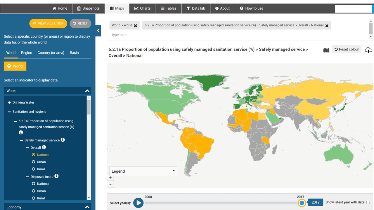
SDG6
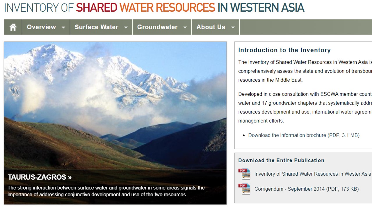
Water Resources Inventory
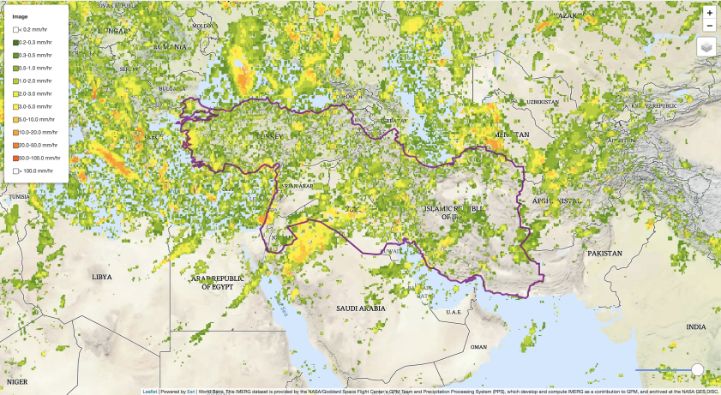
Satellite Precipitation (NASA GPM)
Erosion Risk
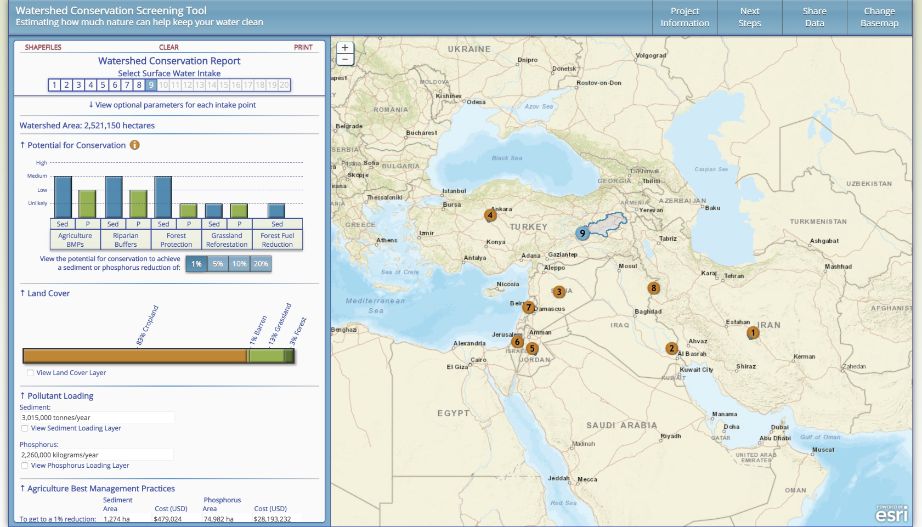
Illustrative Watershed Tool
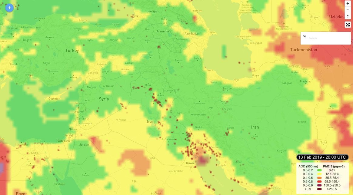
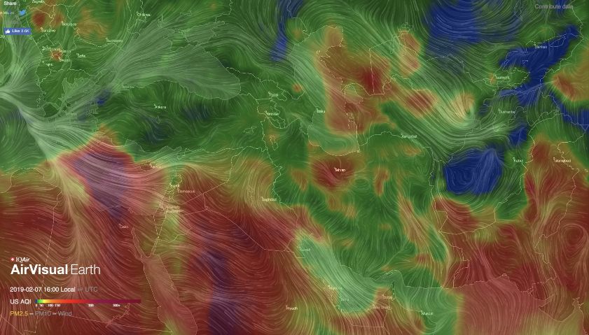
Air Quality
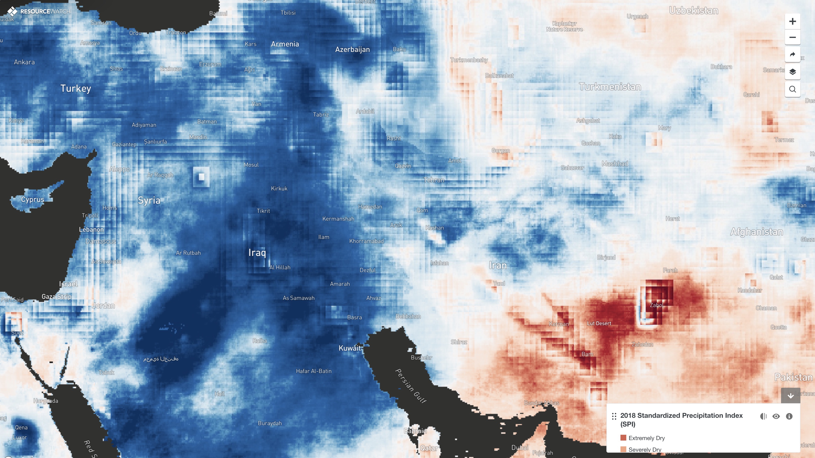
Standardized Precipitation Index
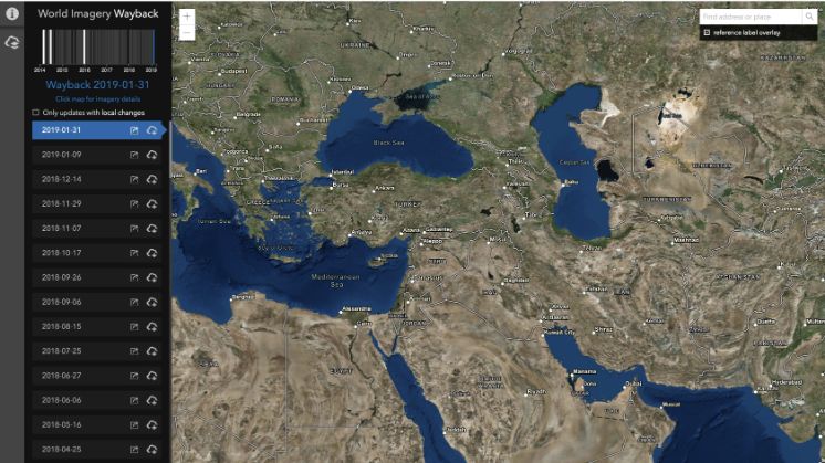
Wayback Hi-Res Imagery
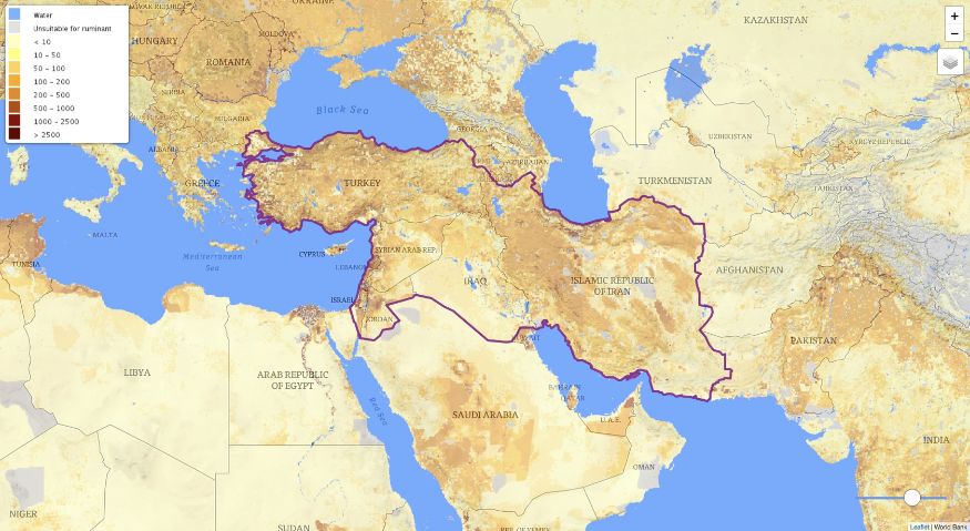
Livestock Density
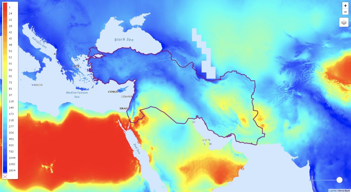
Average Annual Precipitation
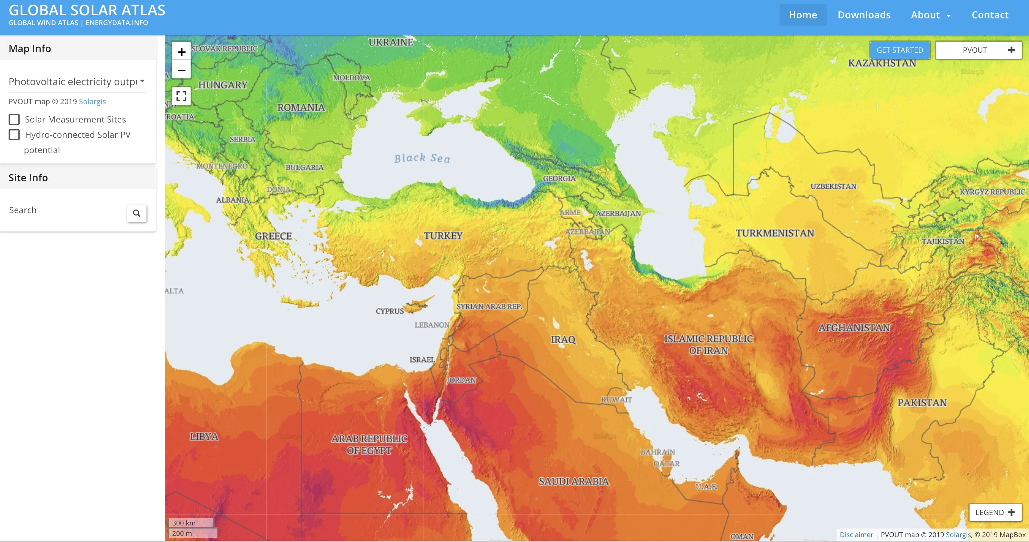
Solar Energy Data
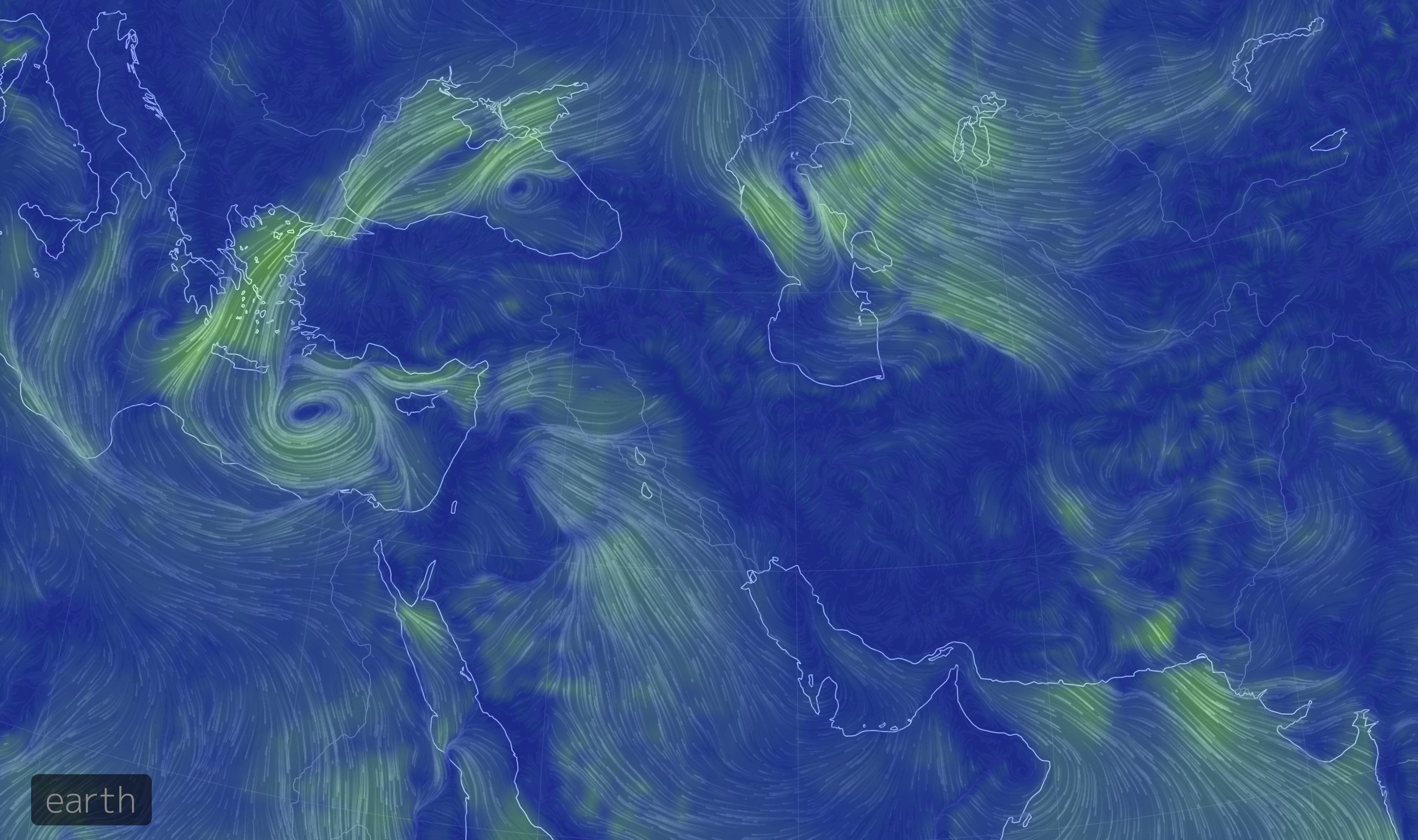
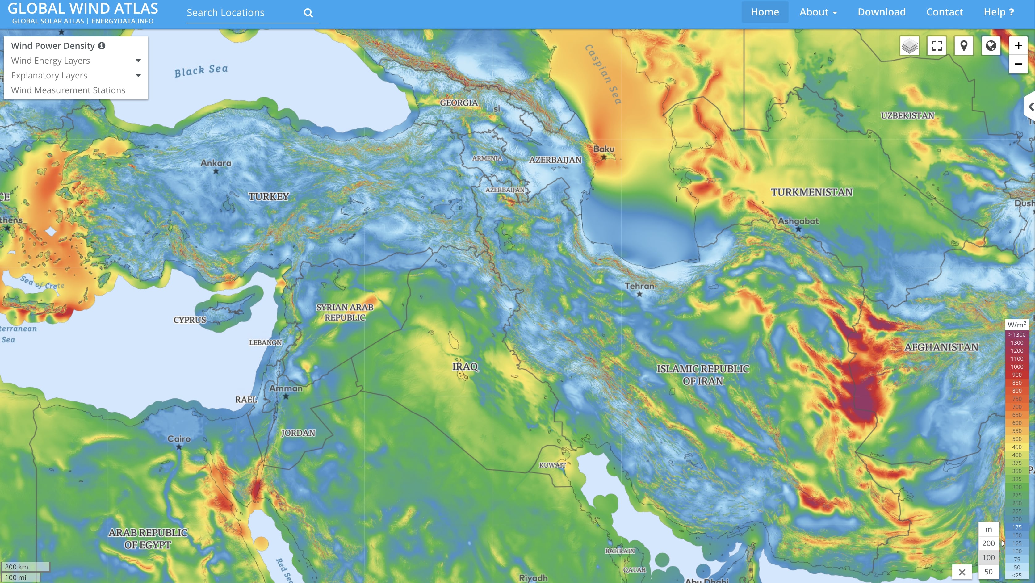
Earth Wind Map
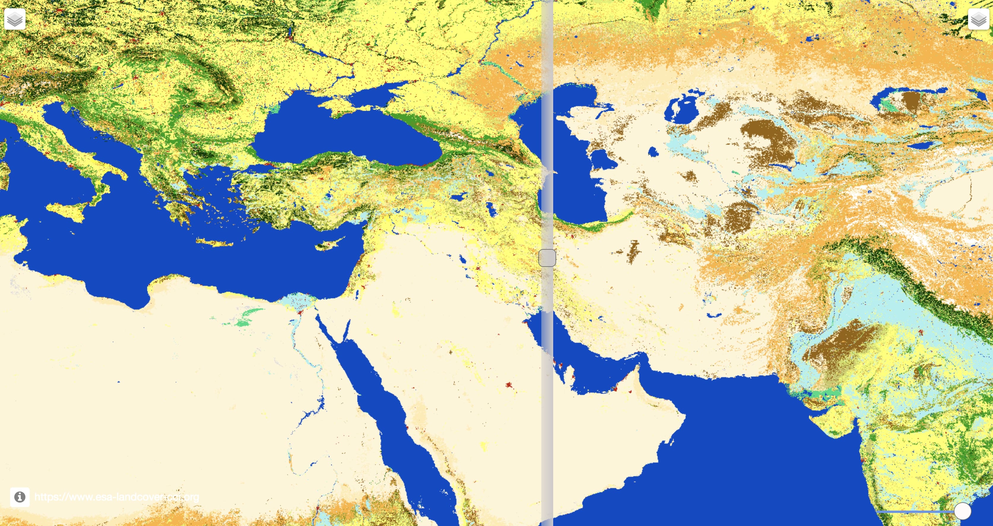
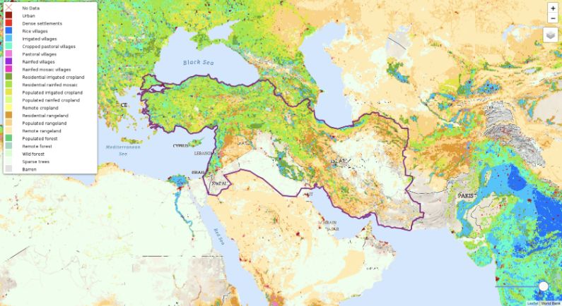
Land Cover Comparison
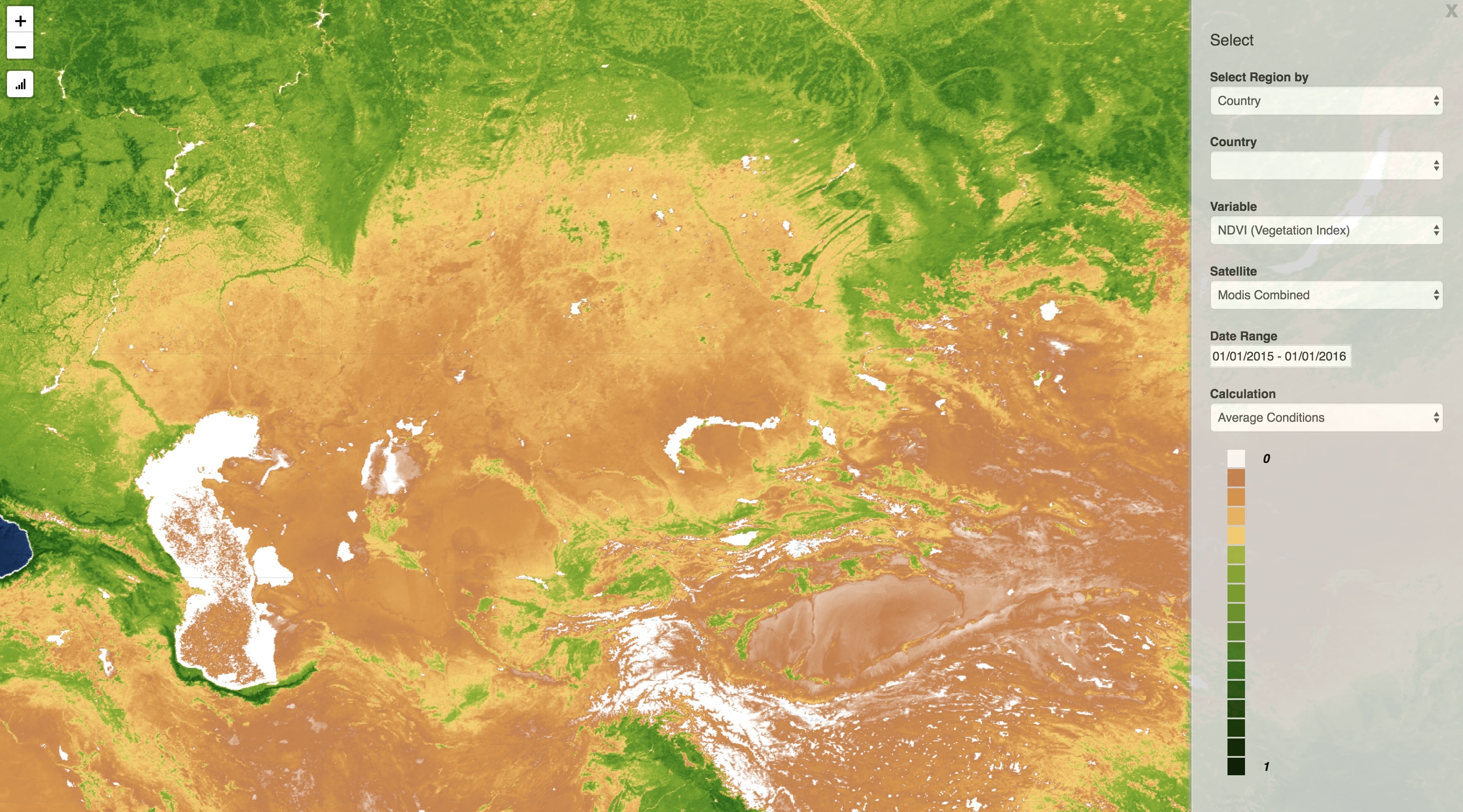
Earth Engine NDVI Analysis
Pasturelands
Croplands
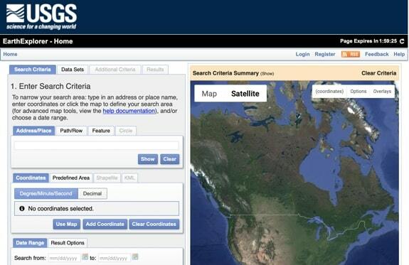
EarthExplorer
GEOGLOWS Global Streamflow Estimator
Watershed Mapper
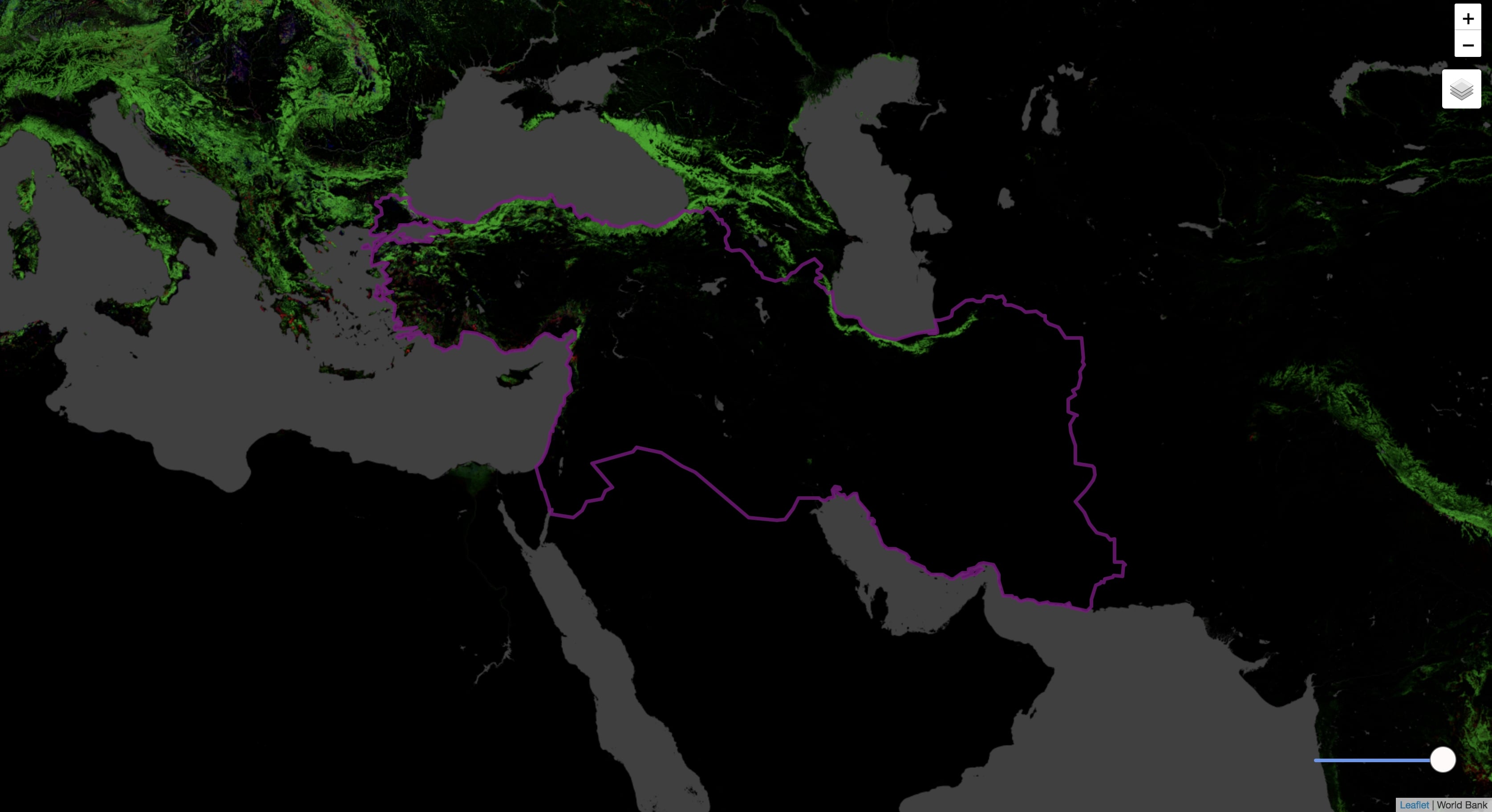
Forest Cover
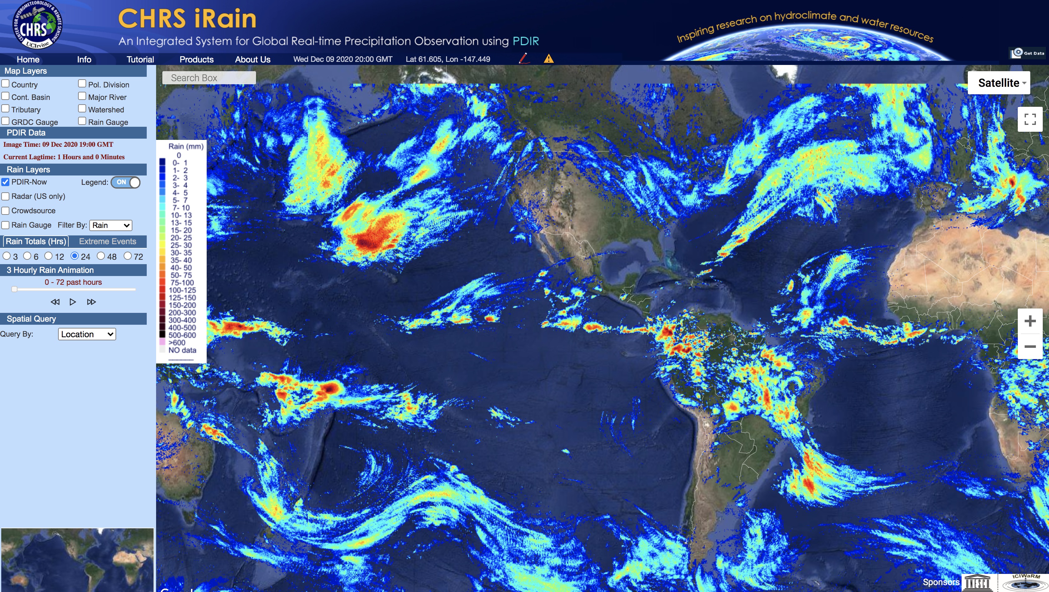
CHRS iRain
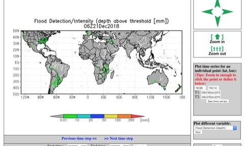
GFMS
Biomes
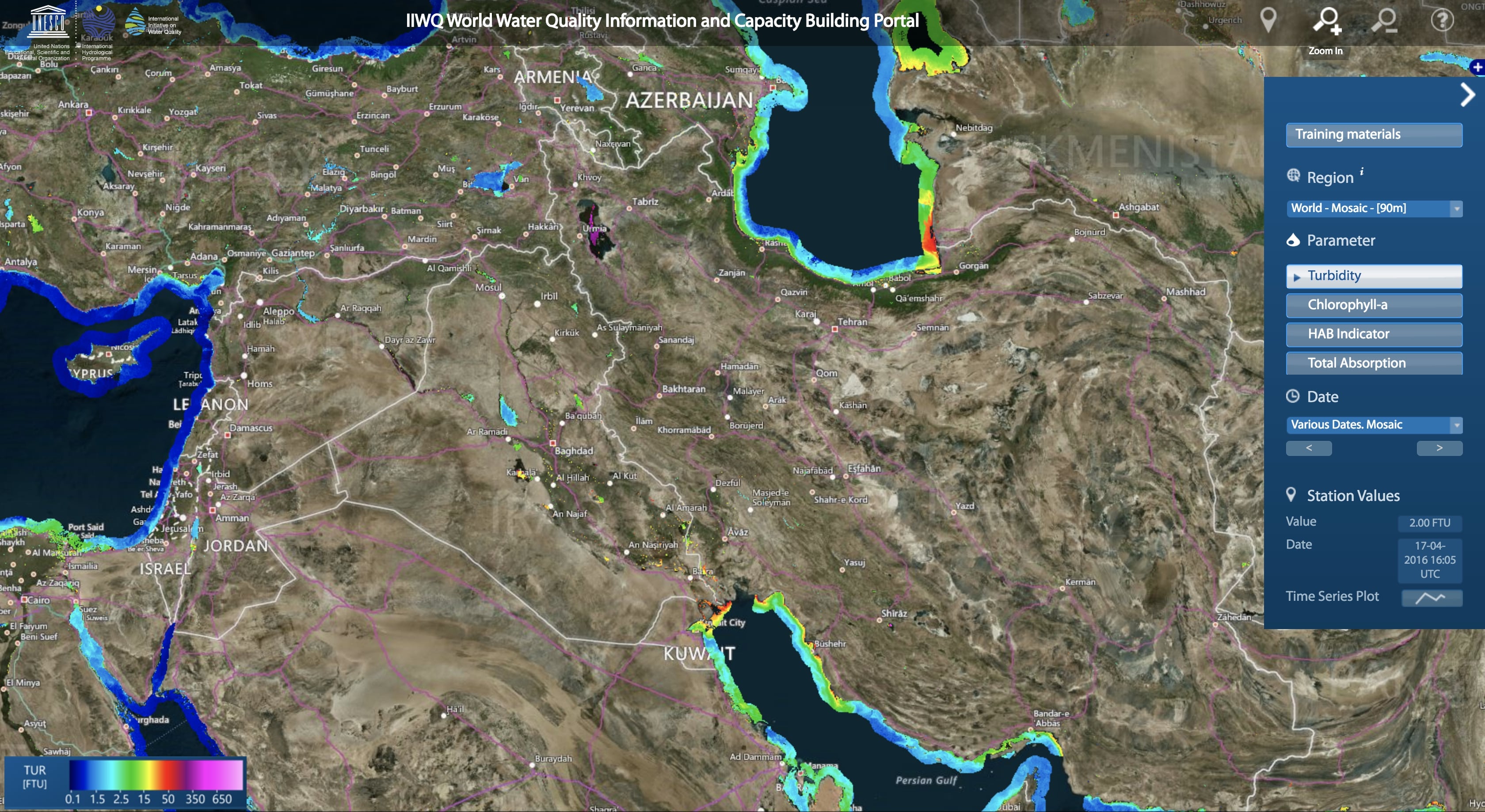
World Water Quality
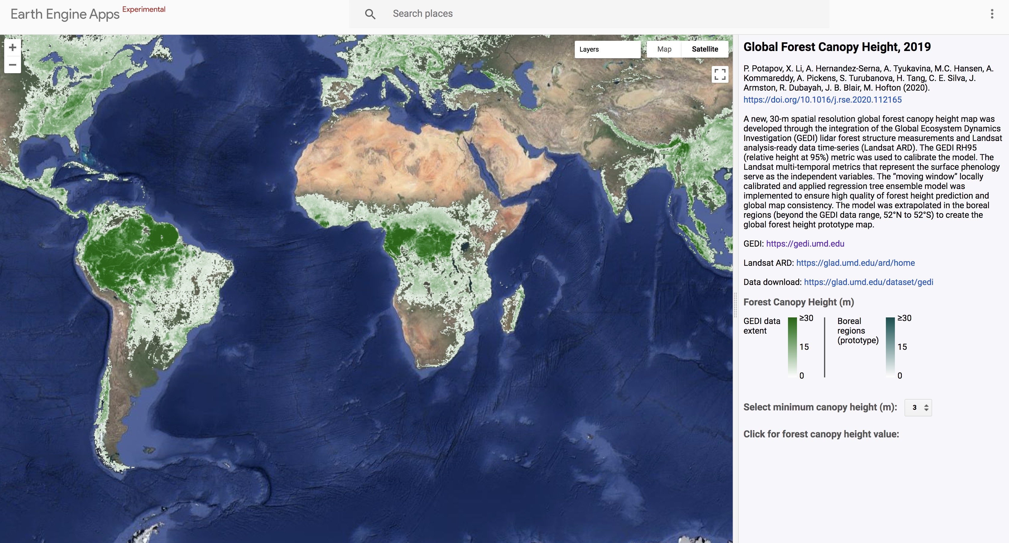
Global Forest Canopy Height
Landsat Imagery
Human Footprint
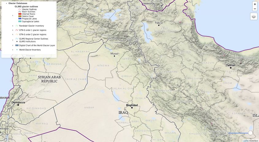
Glacier Inventory
Global Wetlands
MODIS Layers
Cropping Extent
Fire Data
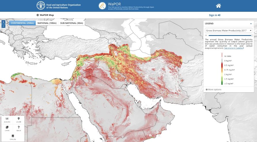
FAO WaPOR
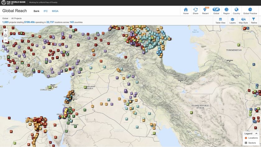
World Bank Projects
Fire Data
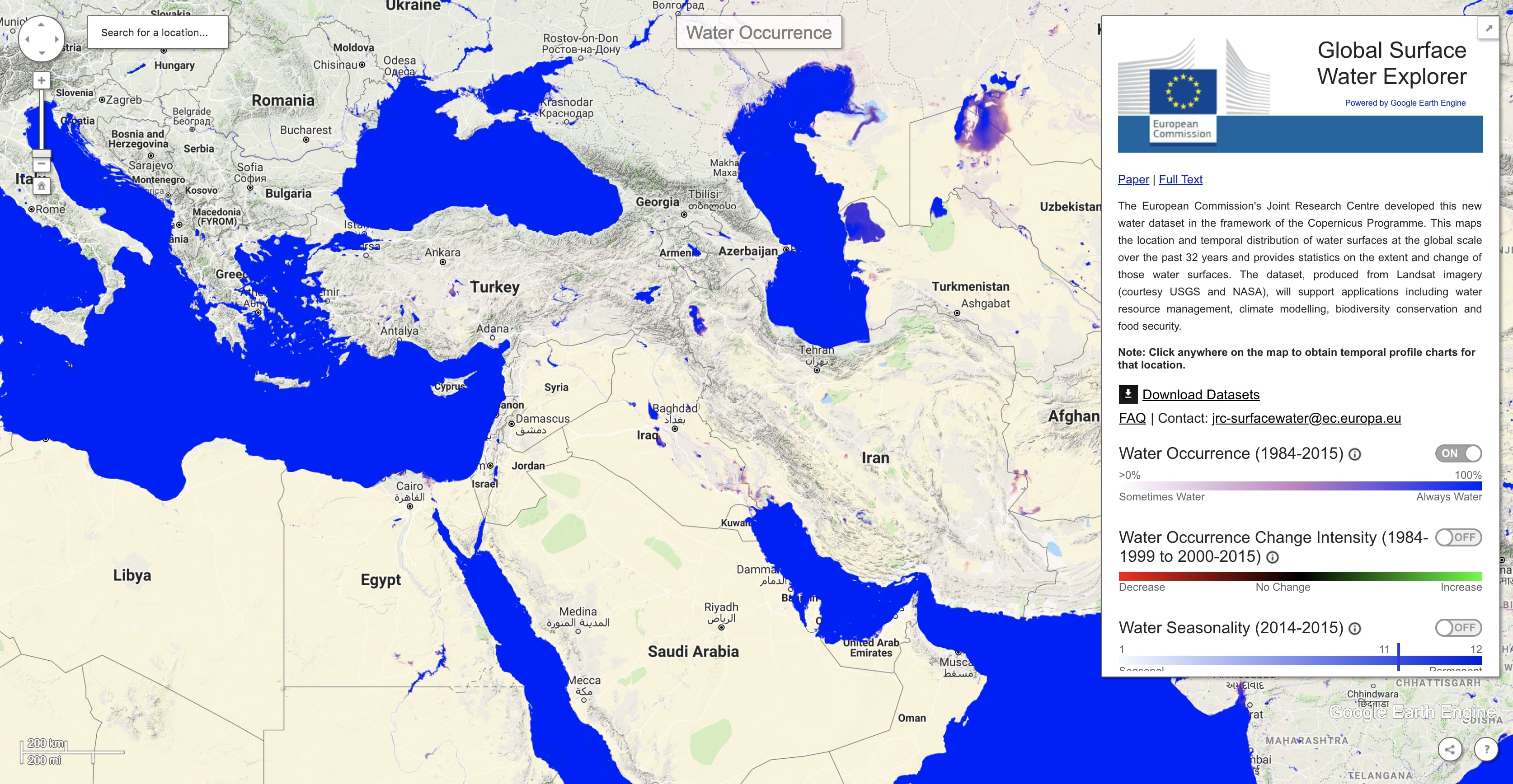
Surface Water Explorer
Human Influence Index
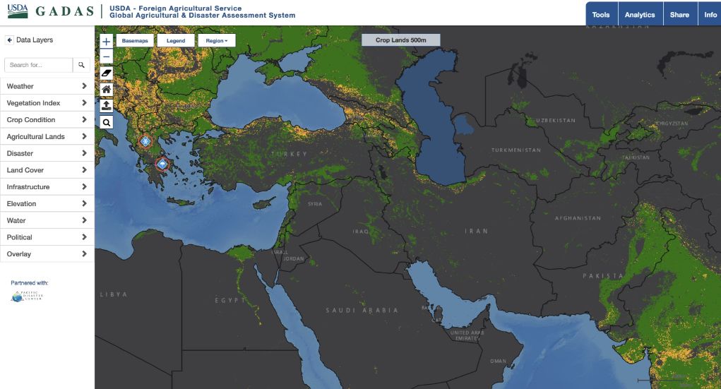
GADAS (Agriculture)
Development Data
Wind Potential
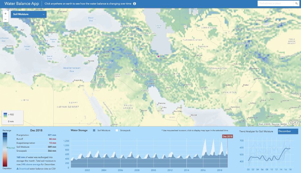
ESRI Water Balance
Air Quality
Open Street Map Data
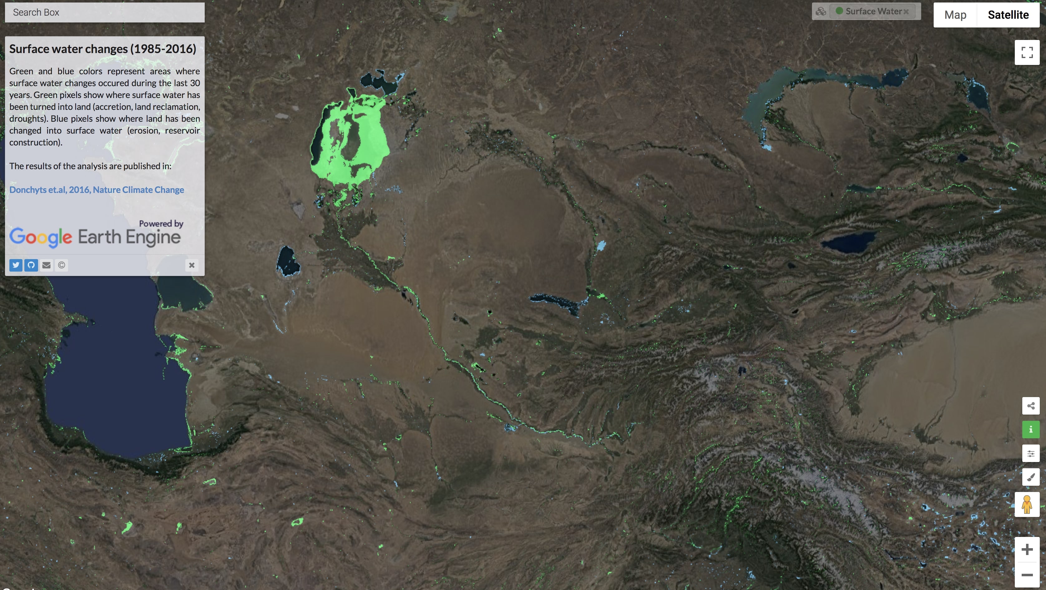
Land-Water Changes
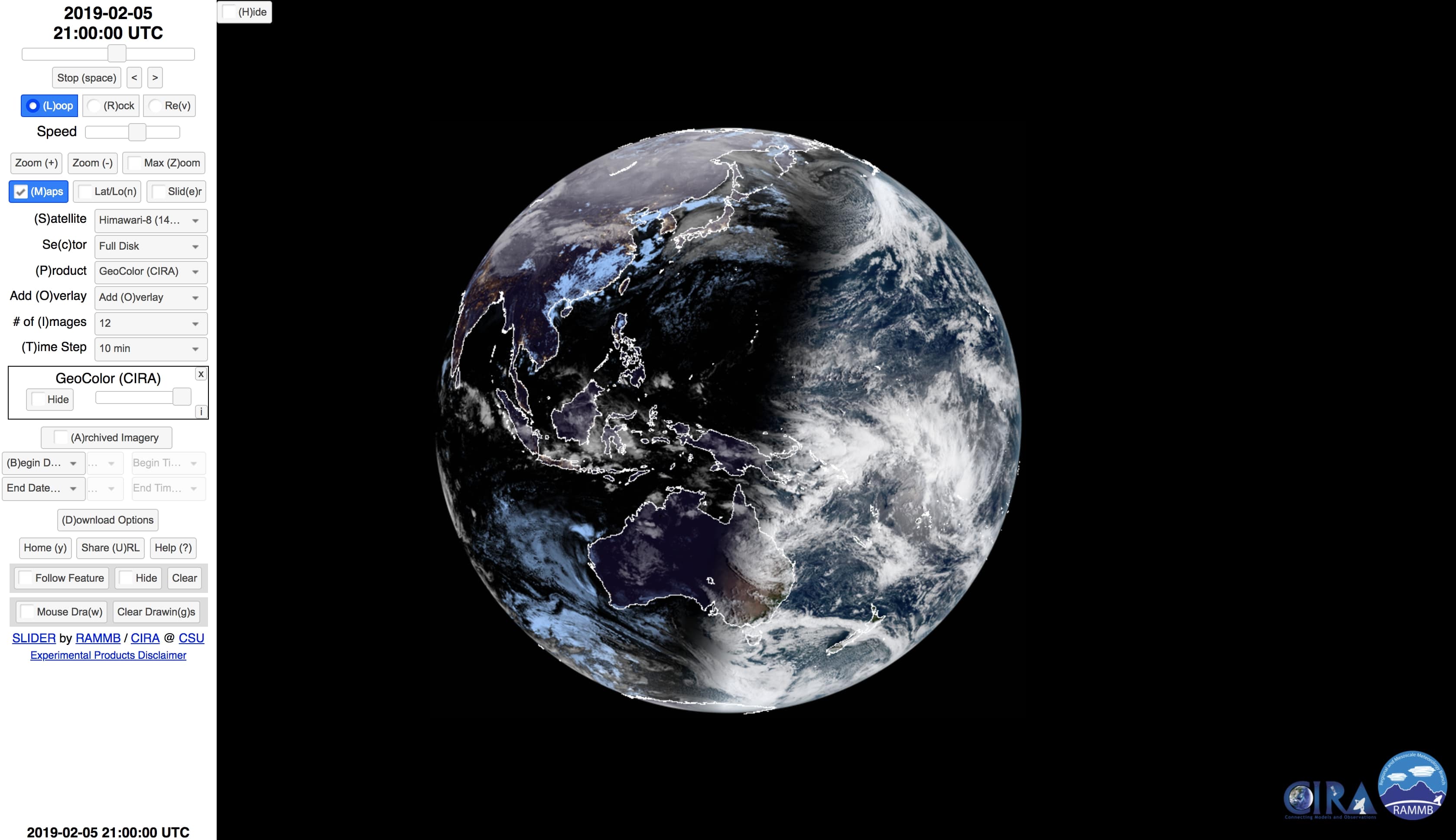
Himawari
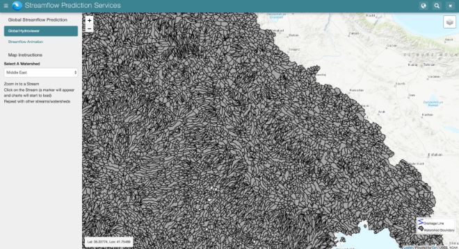
SERVIR Streamflow Prediction Services
Google Earth Data
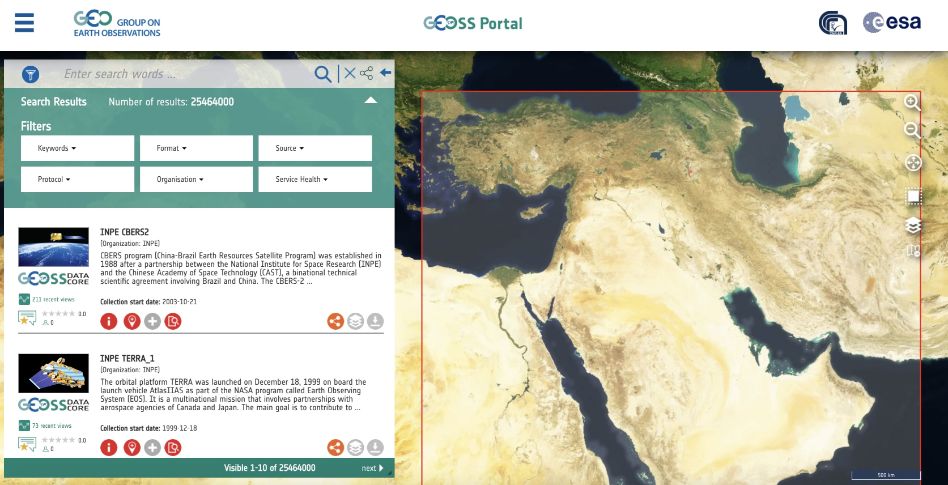
GEOSS Portal