×
NAMIBIA SPATIAL DATA DASHBOARD
All
Environmental
Social
Economic
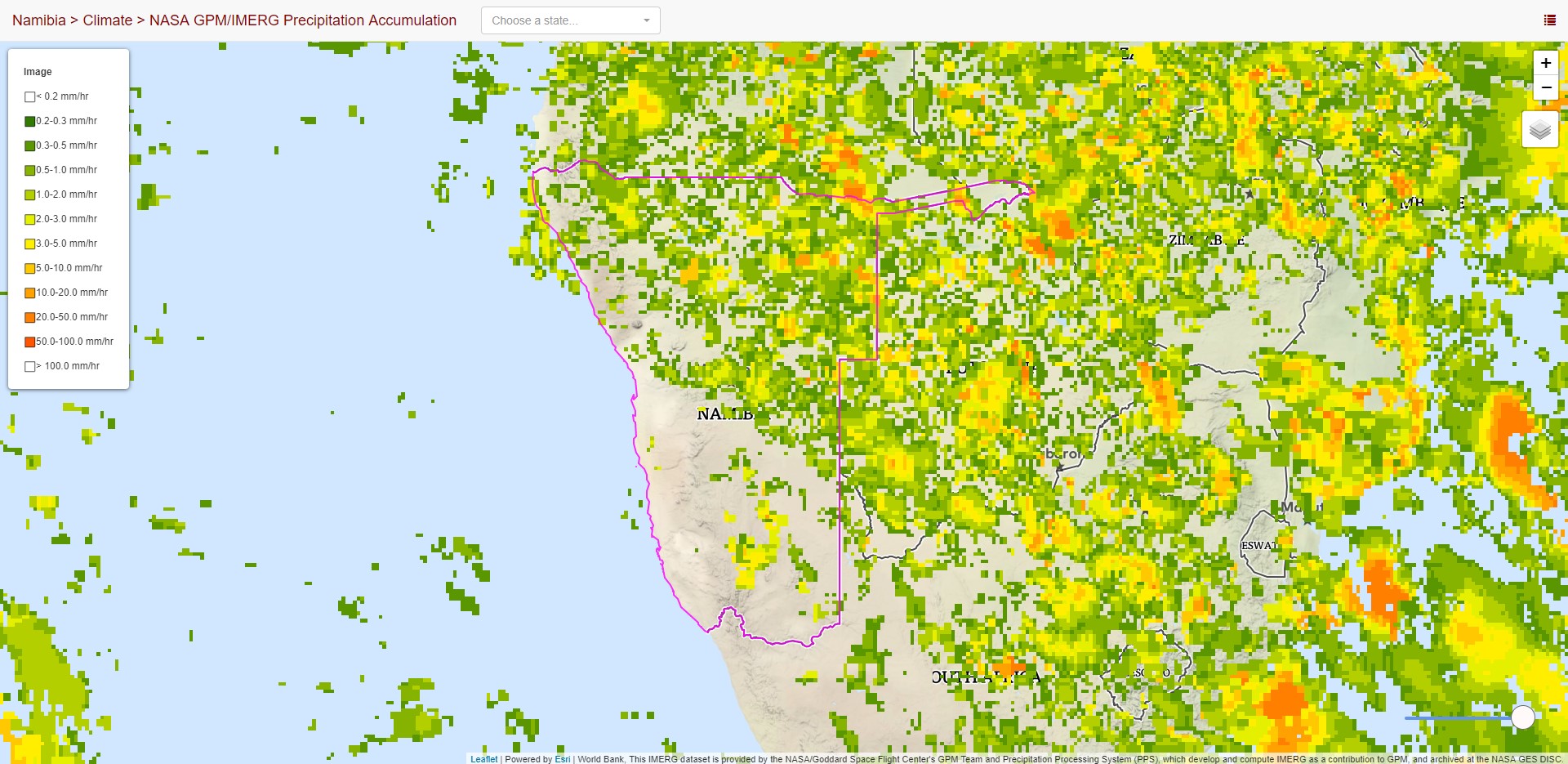
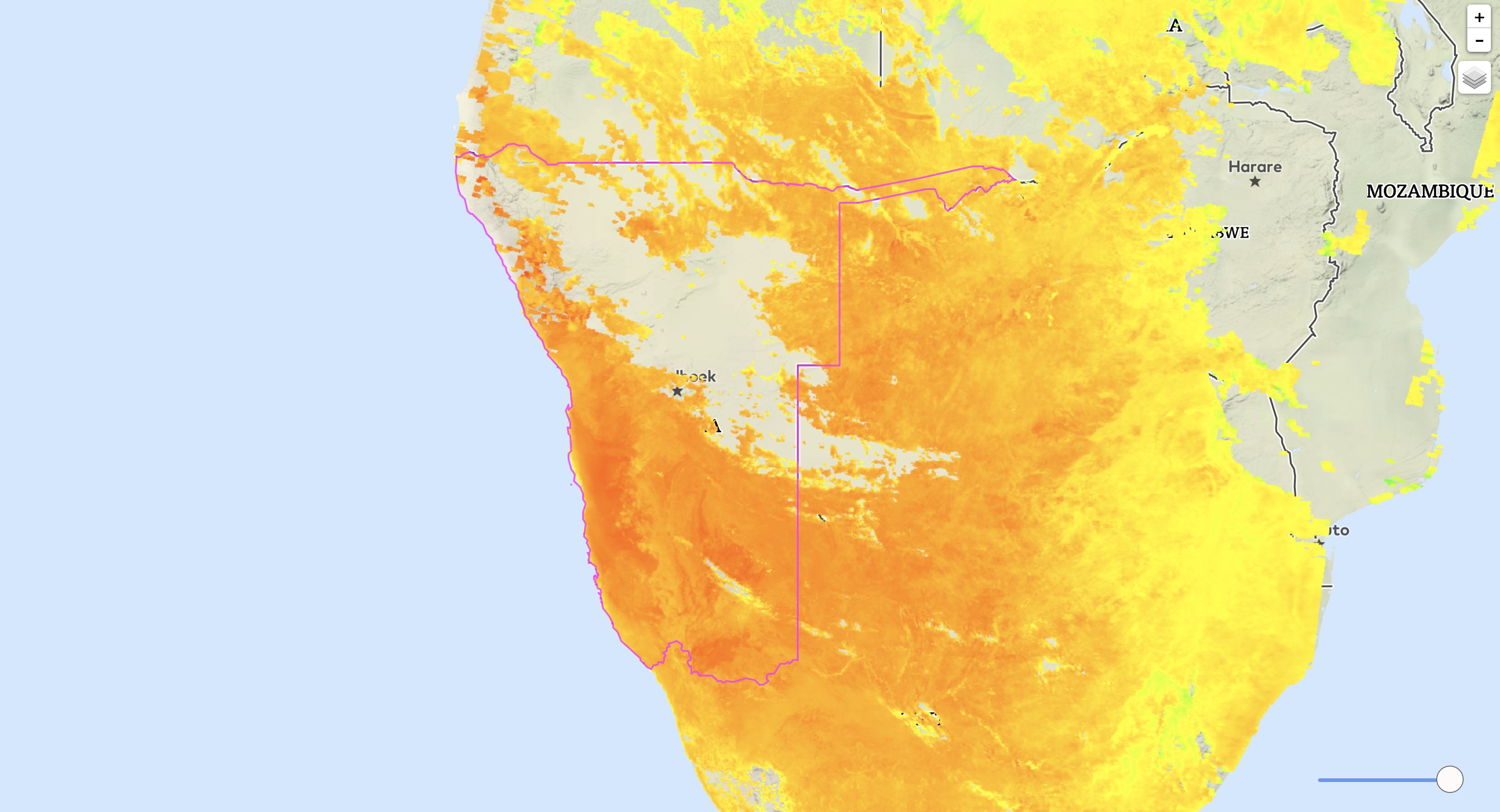
Climate
Water
Disasters
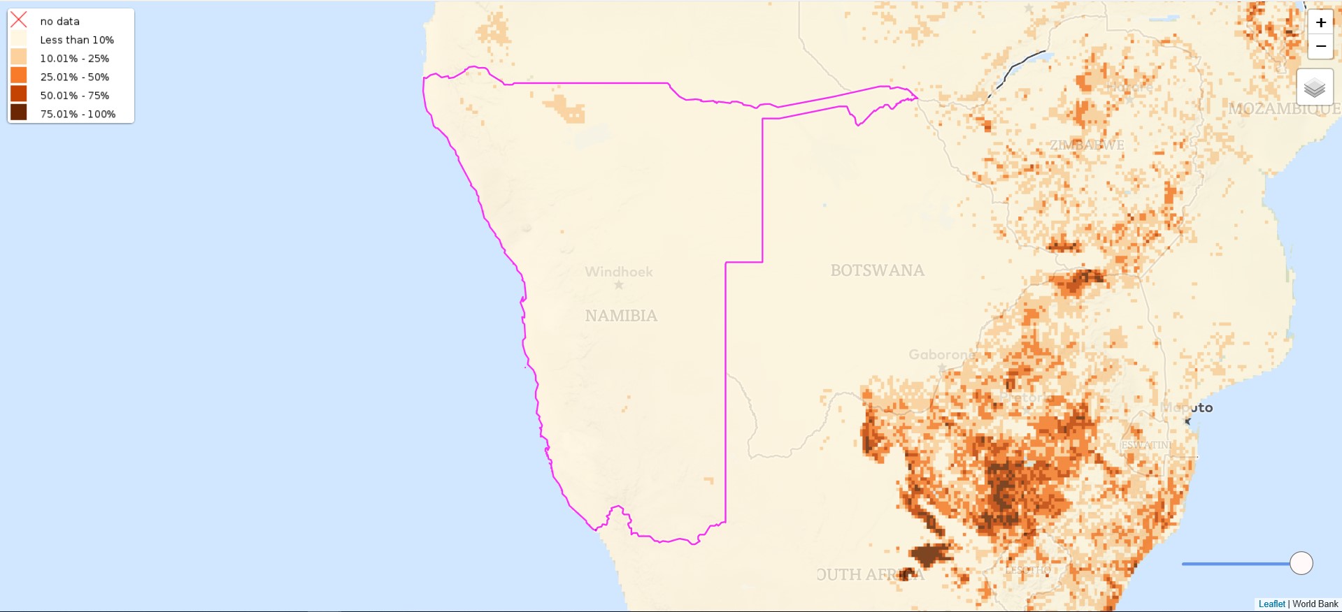
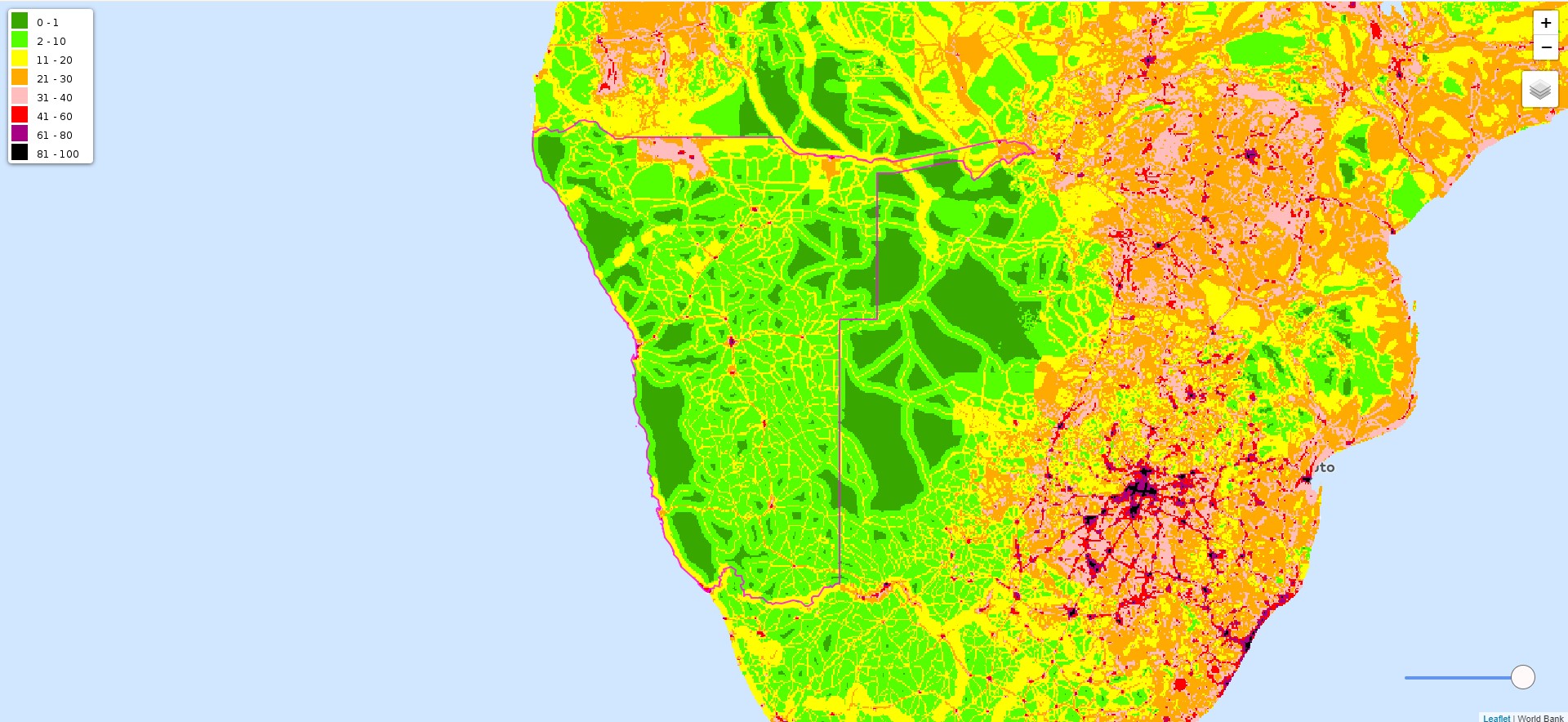
Croplands
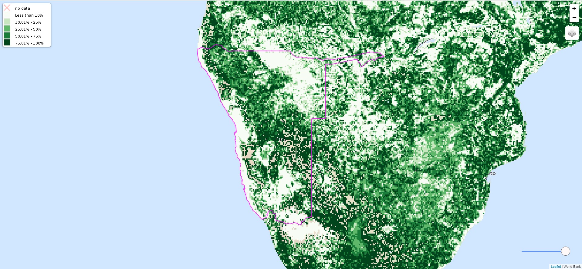
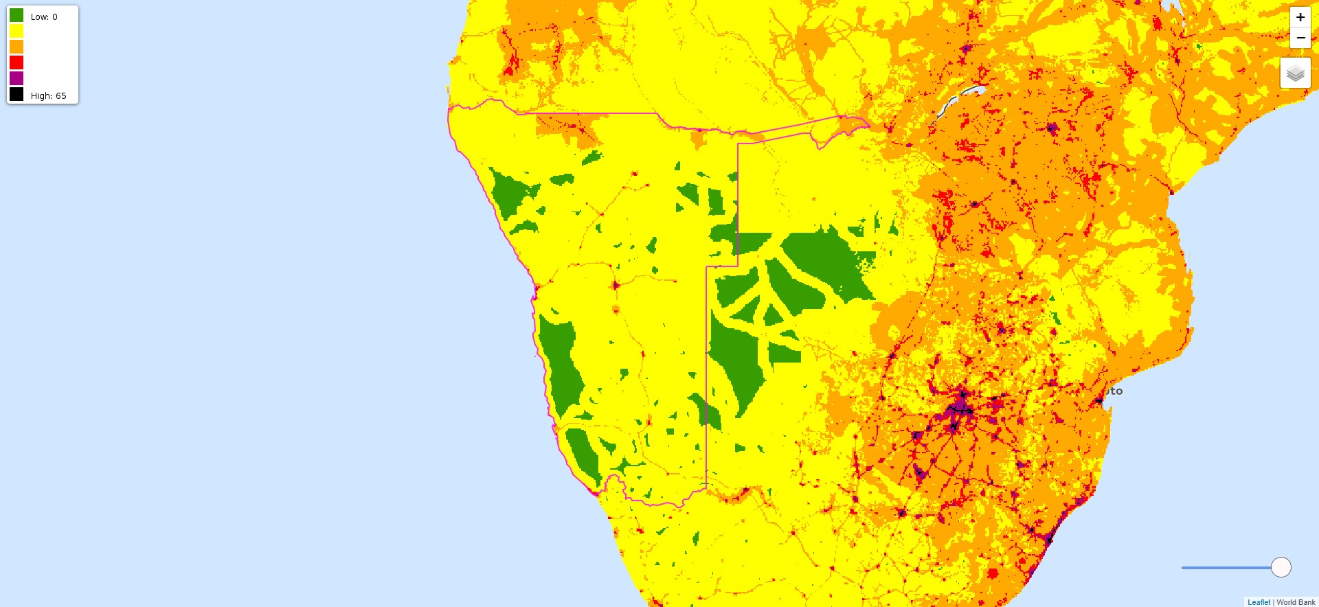
Pastures
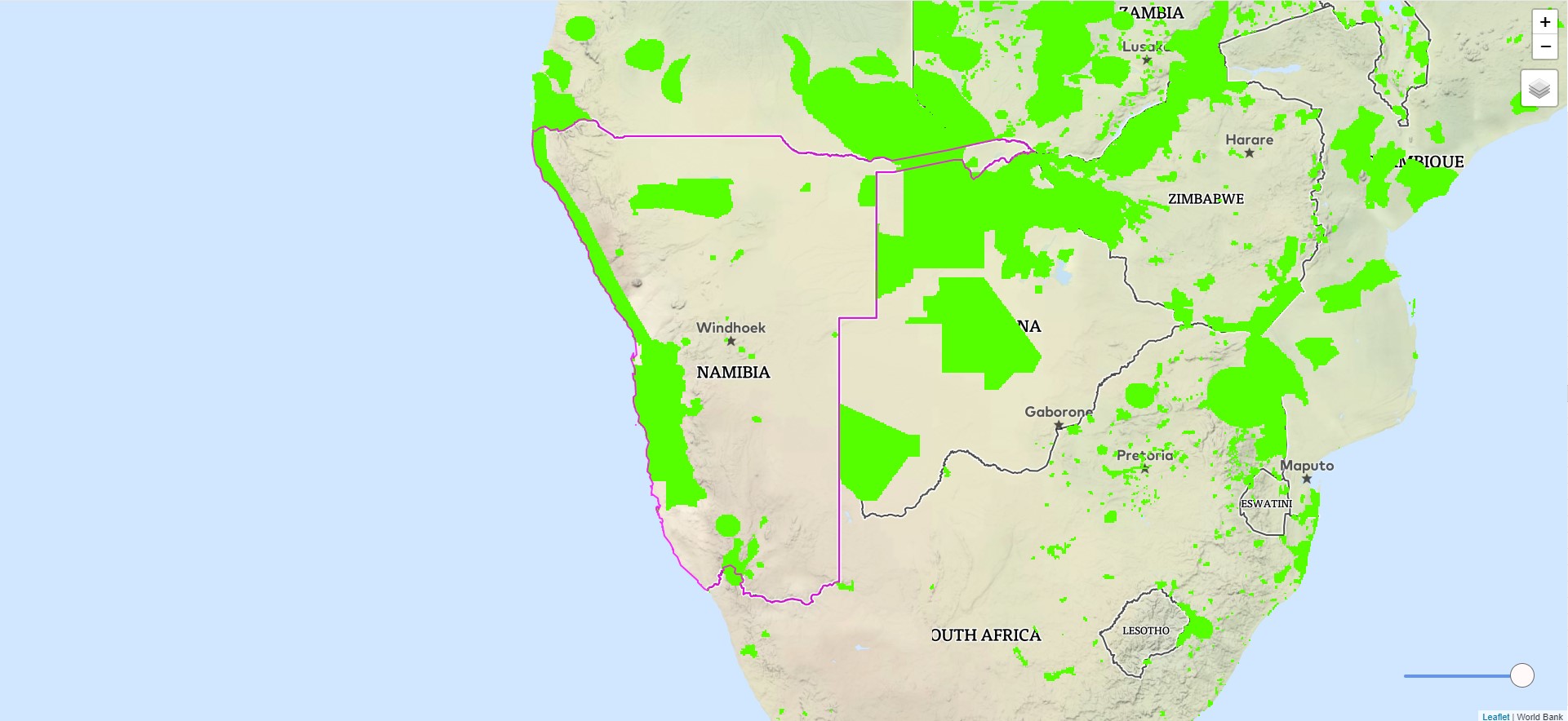
Biomes
Water Transition
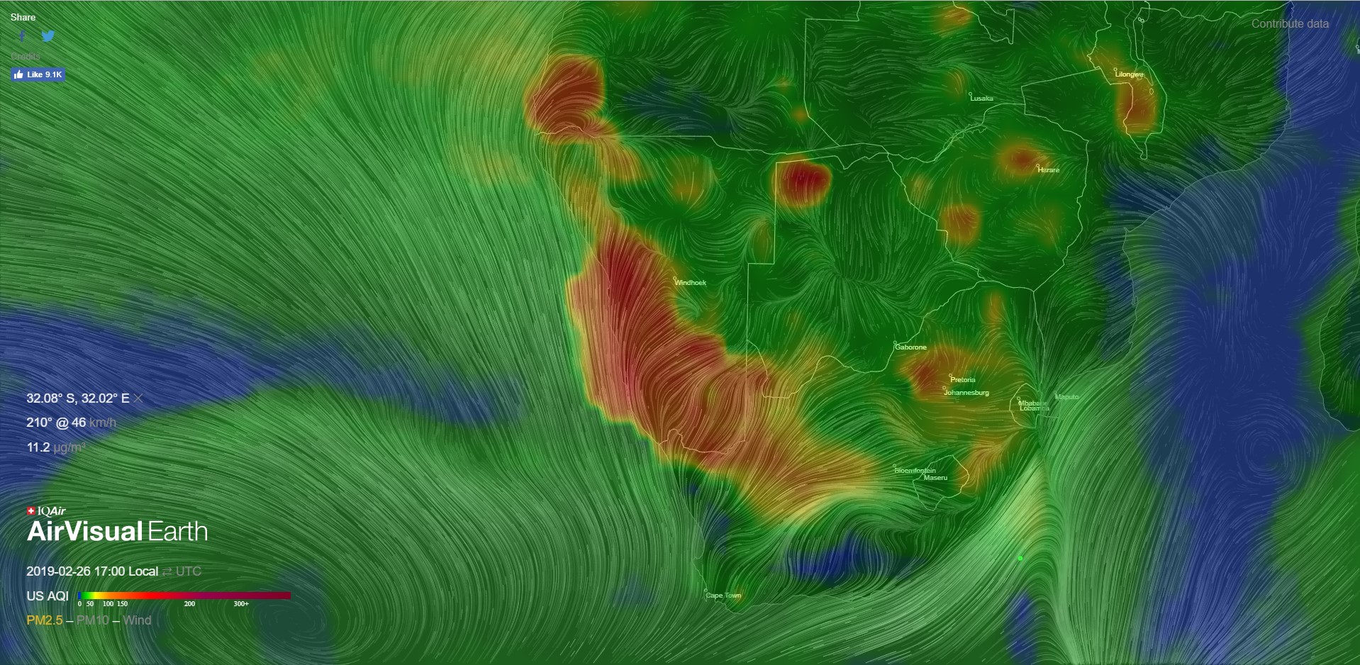
Air Quality
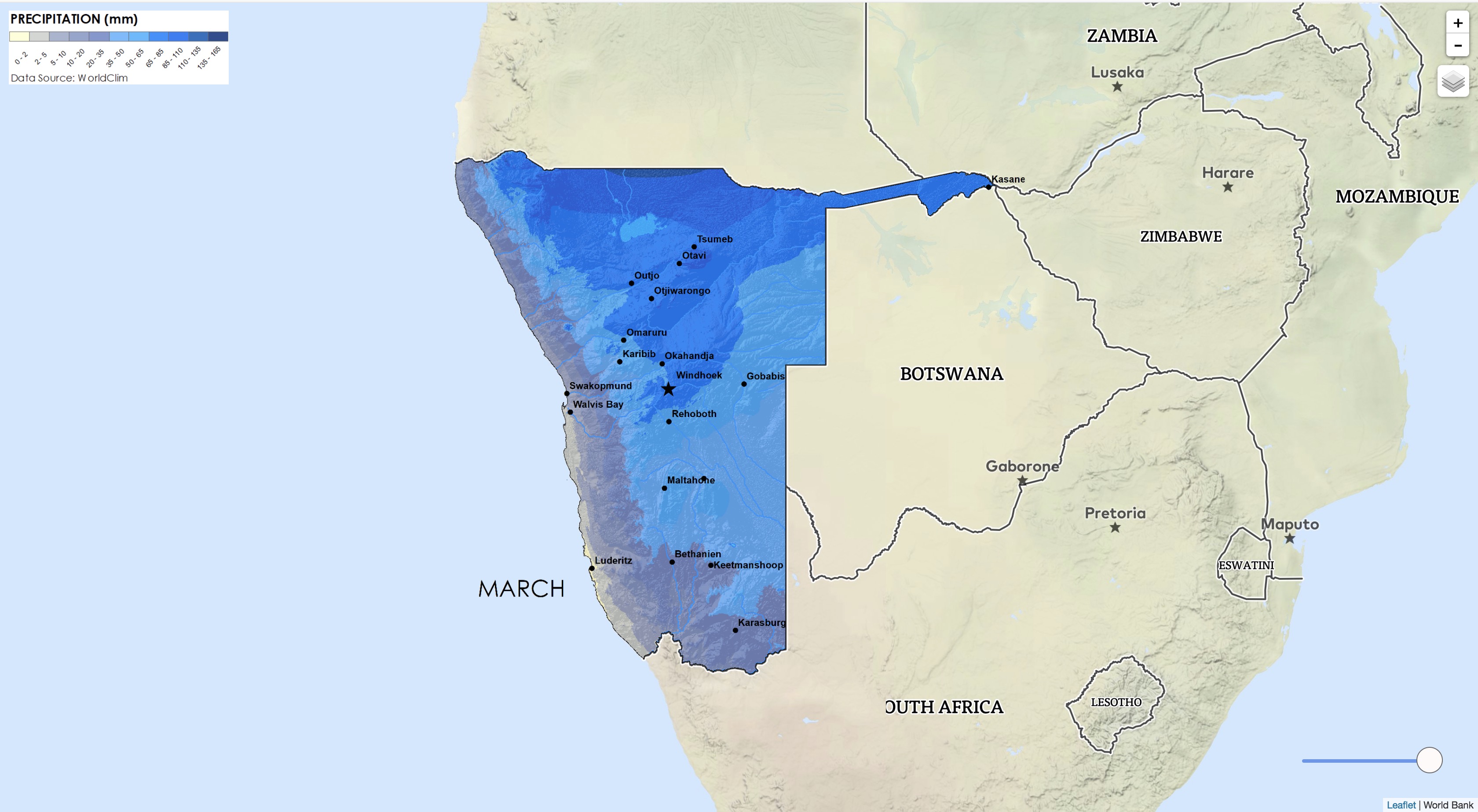
Monthly Precipitation
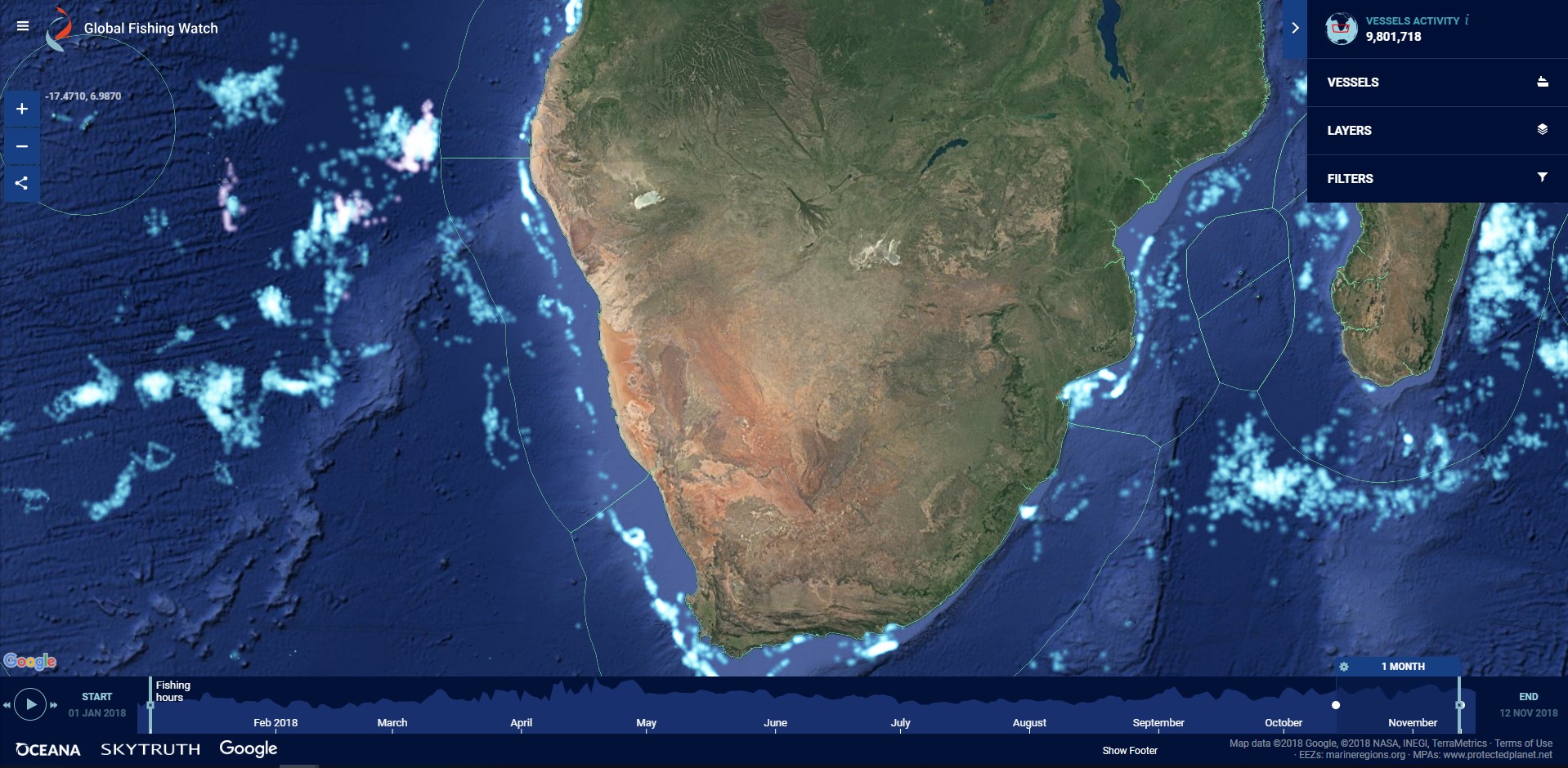
Fishing Watch
Biomass
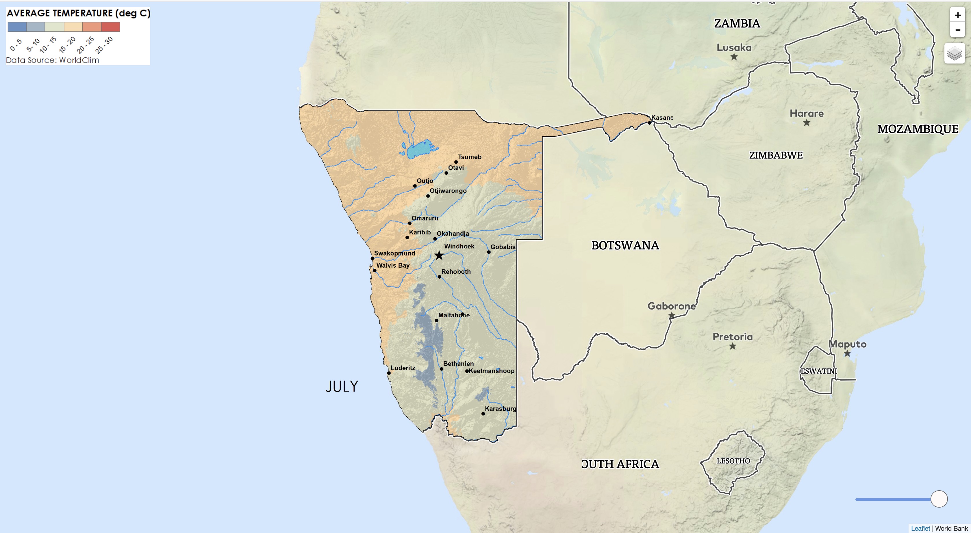
Monthly Temperature
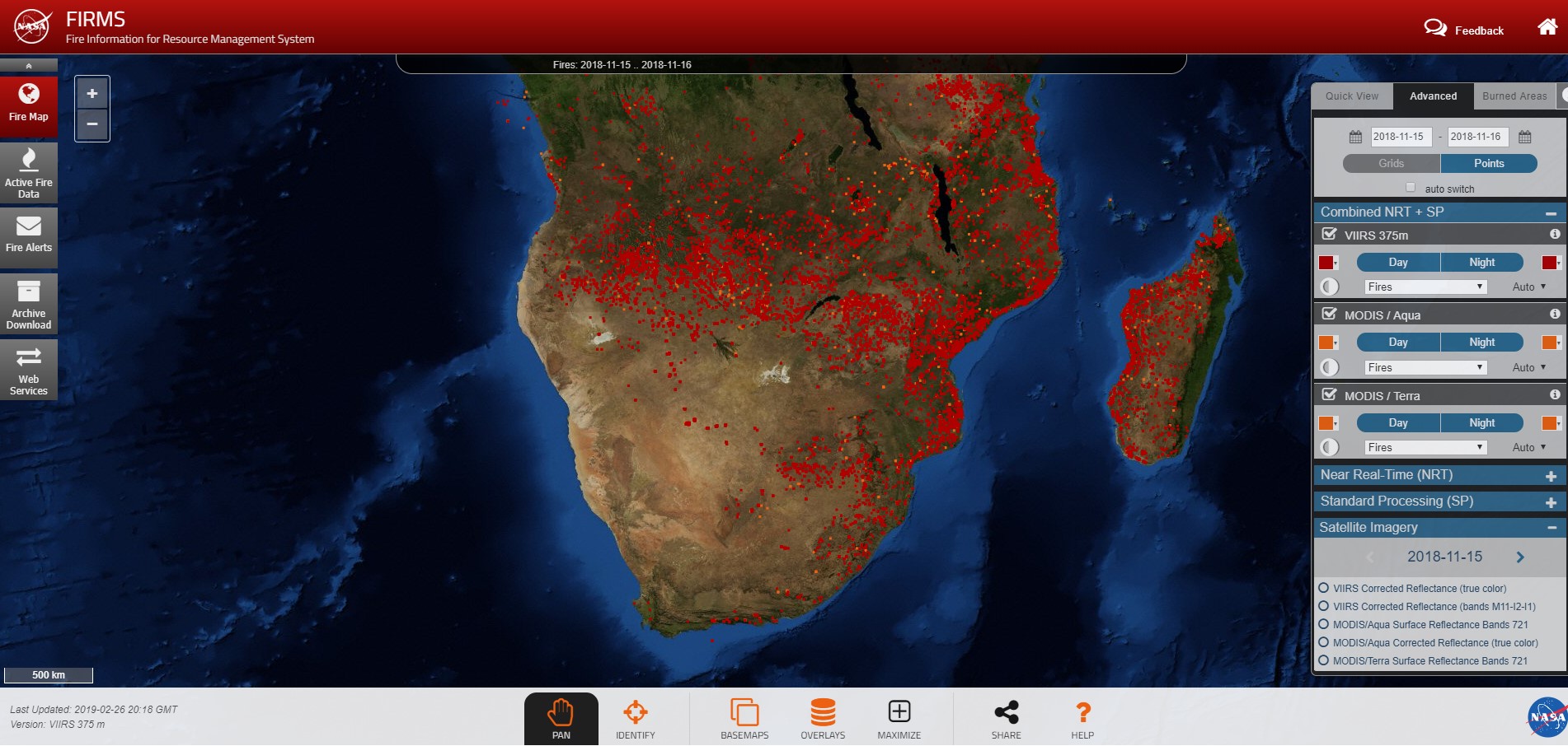
Fire Data
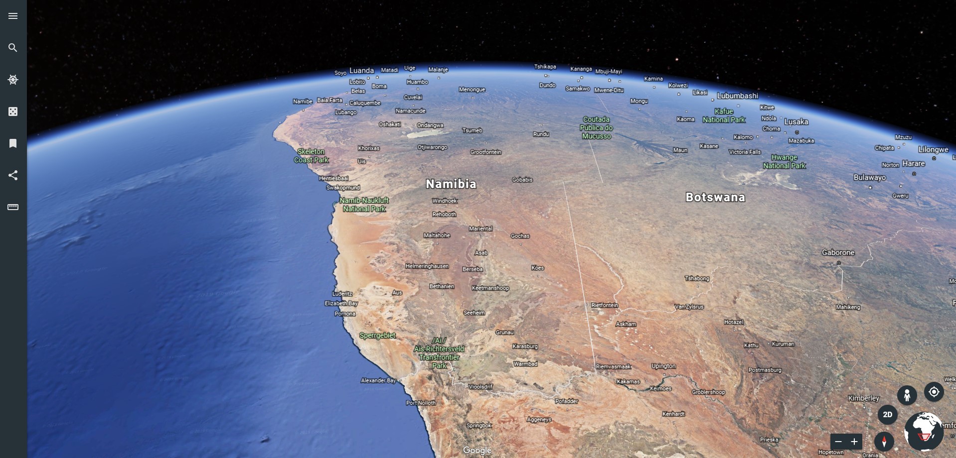
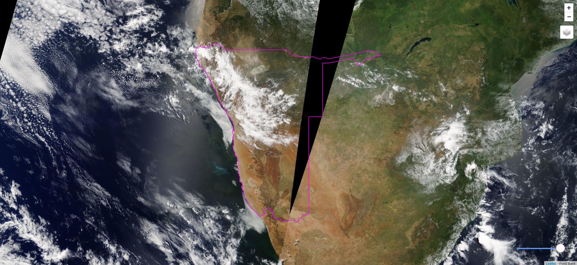
Google Earth Data
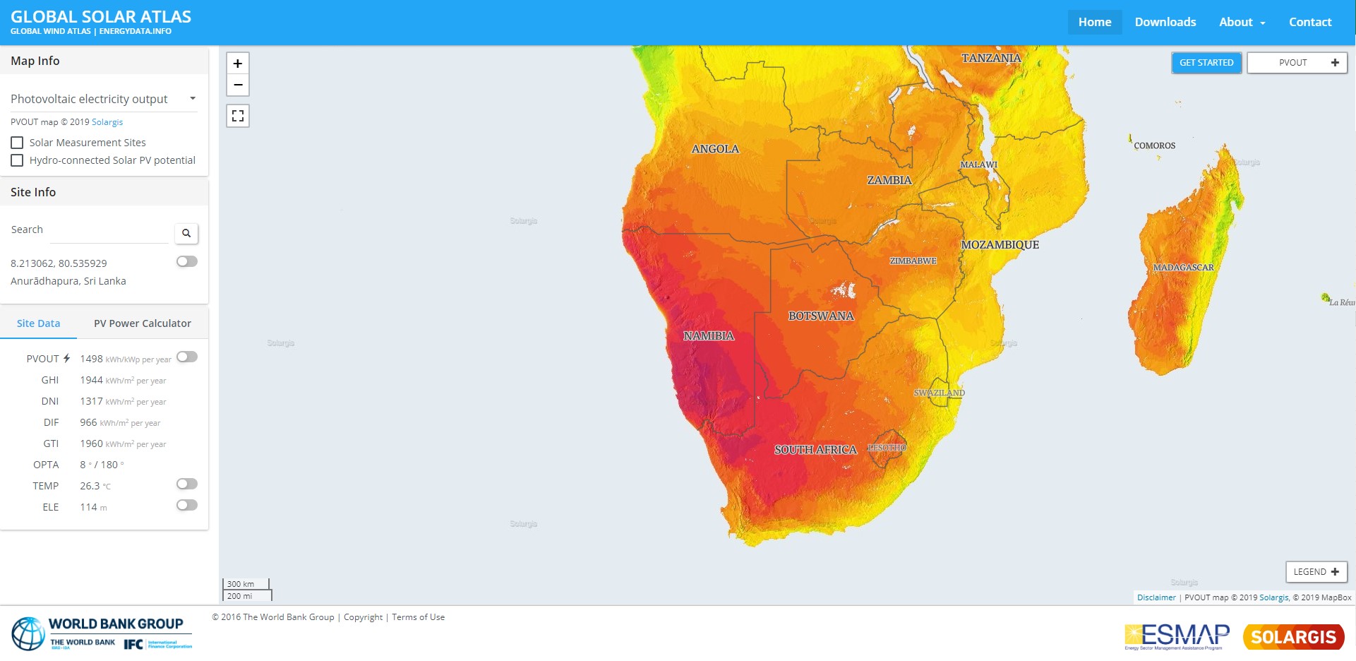
Renewable Energy Data
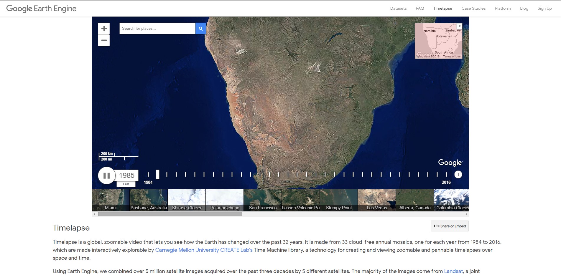
Earth Engine Timelapse
Human Footprint
Human Influence Index
Protected Areas
Forest Cover / Loss / Gain
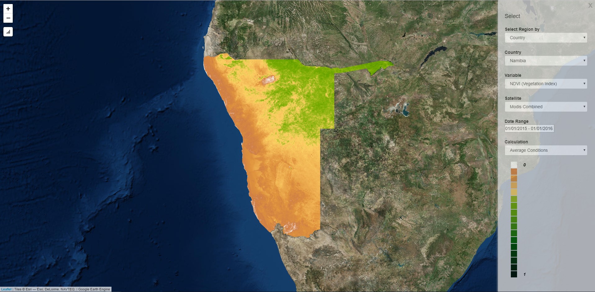
Earth Engine NDVI Analysis
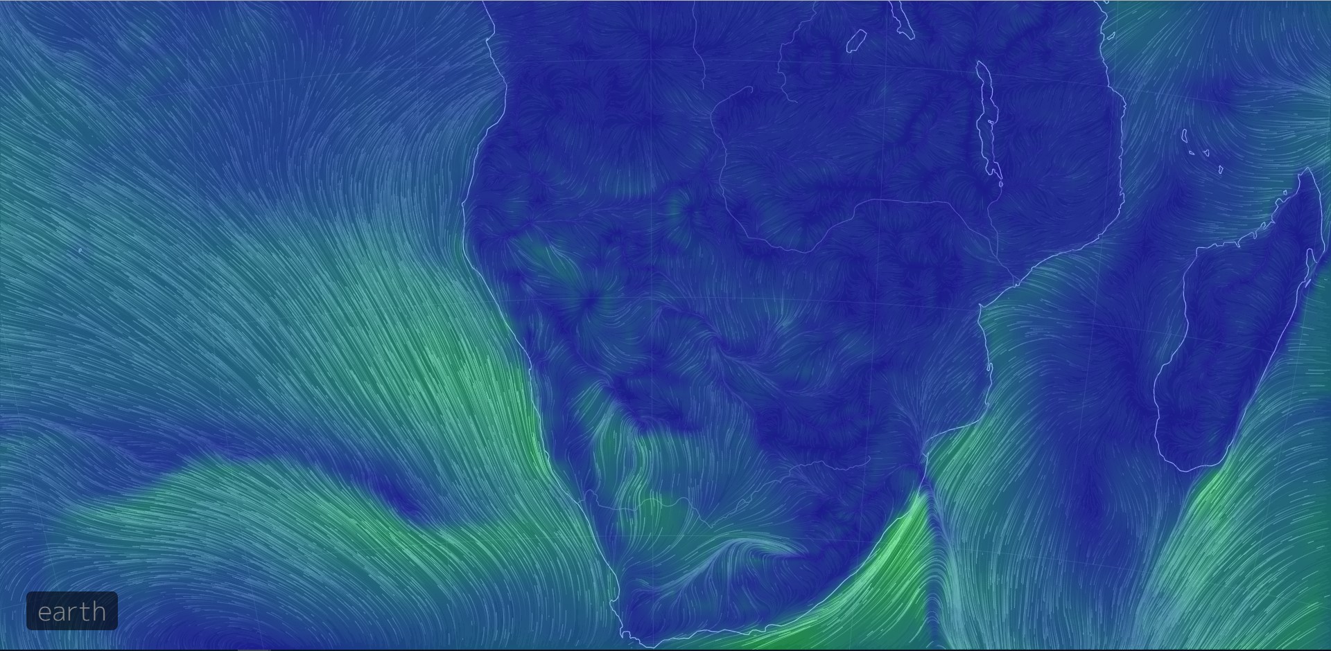
Earth Wind Map
Land-Water Changes
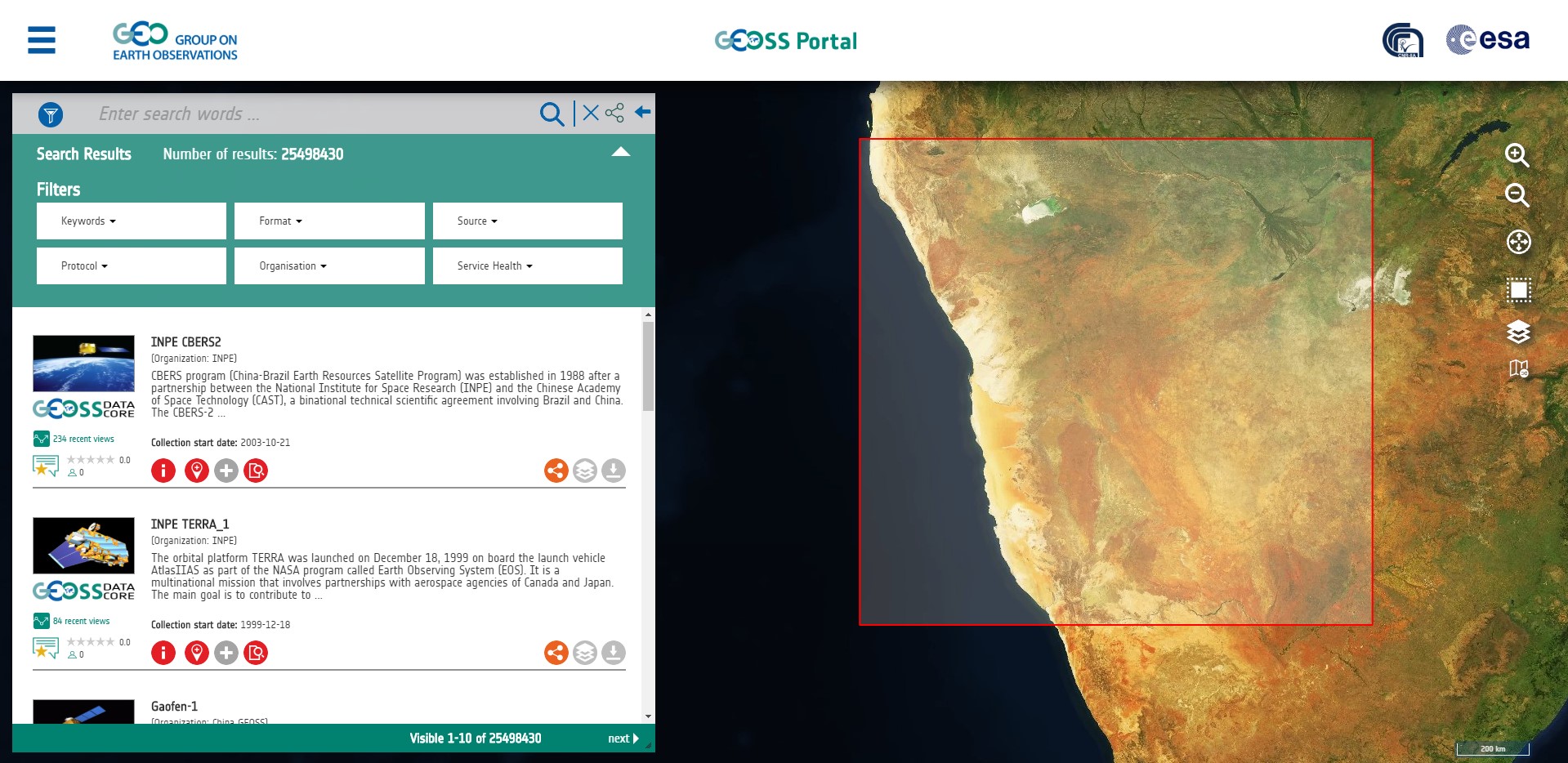
GEOSS Portal
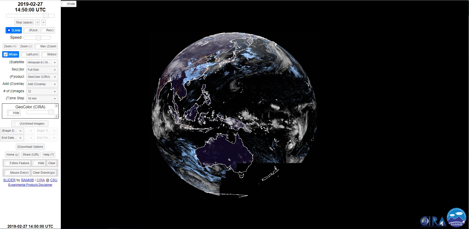
Himawari
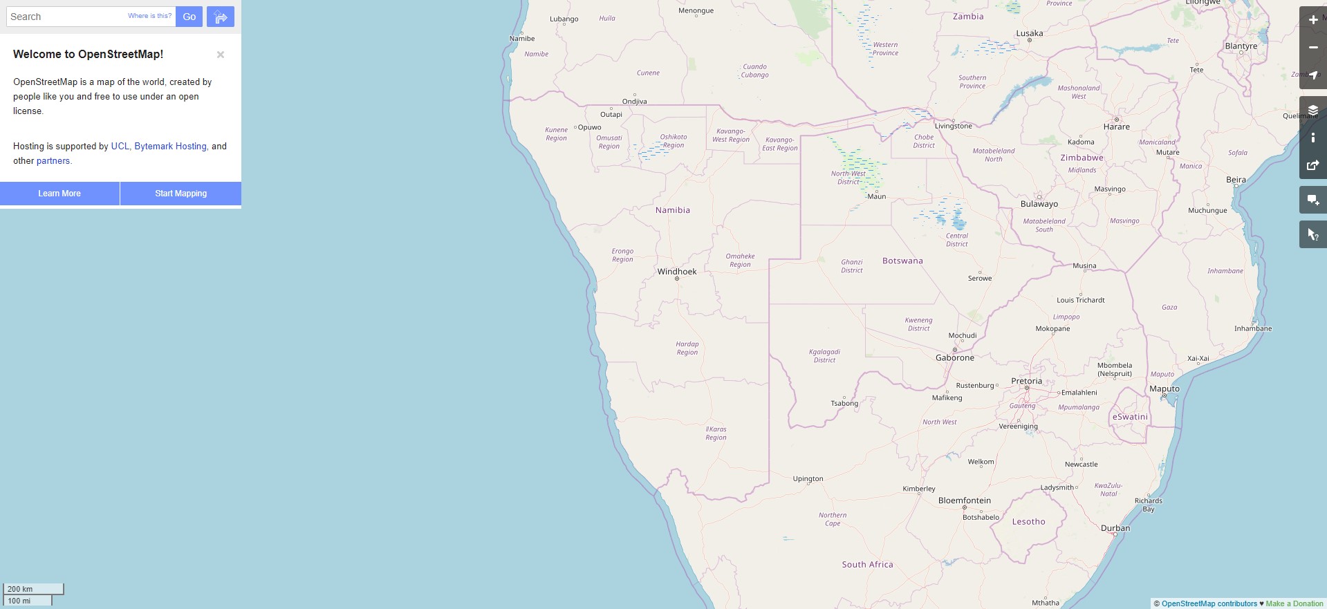
Open Street Map Data
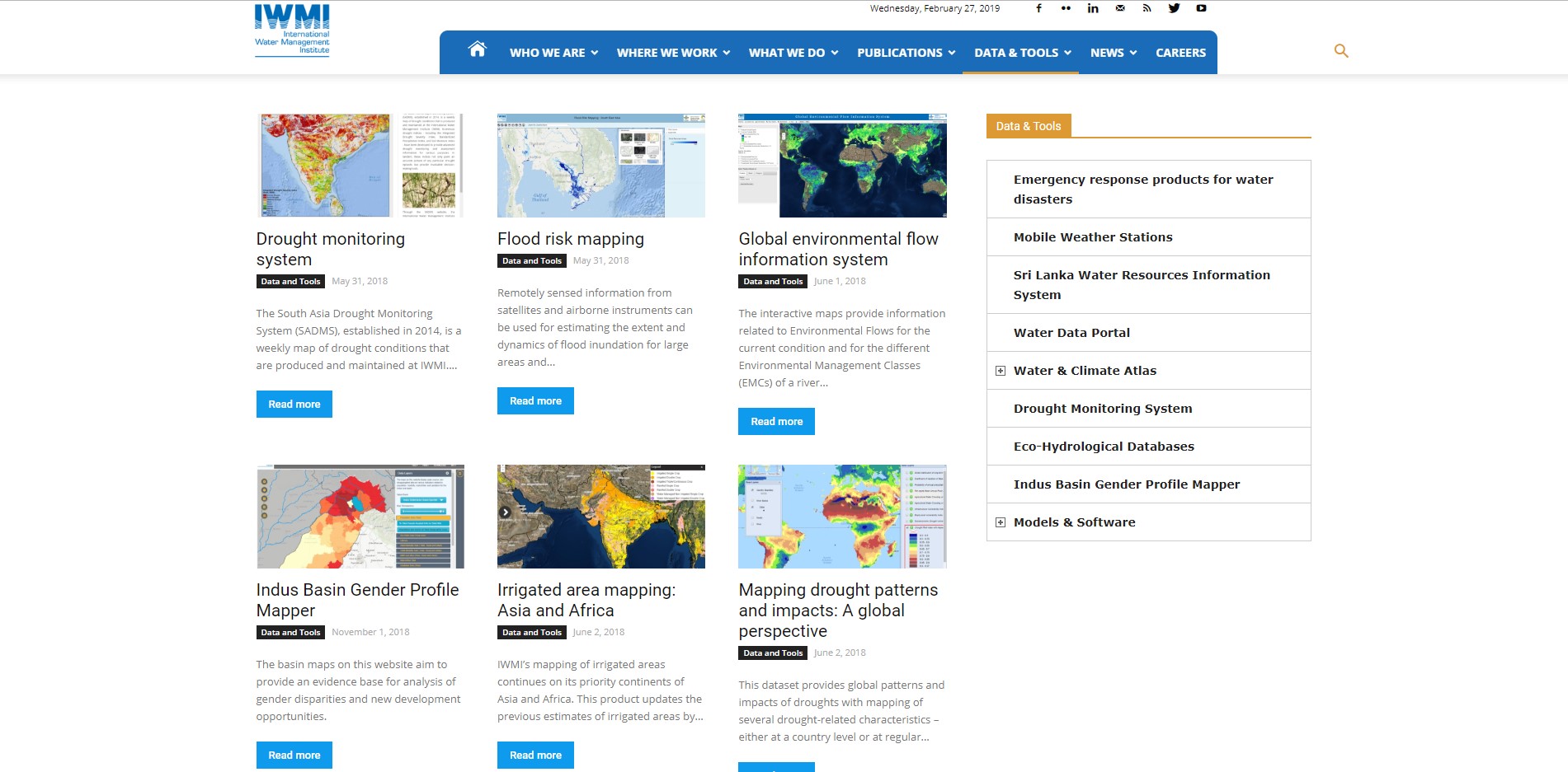
IWMI Portal
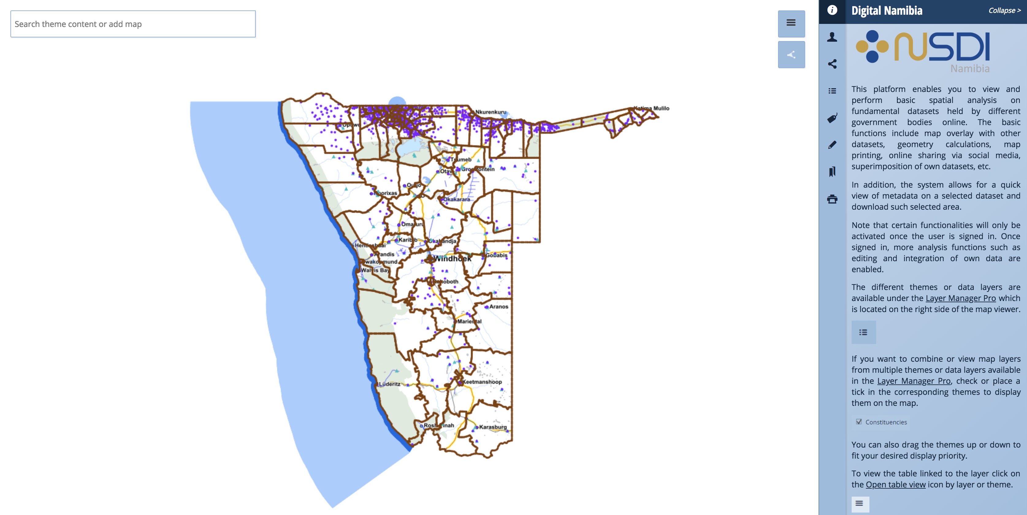
Digital Namibia
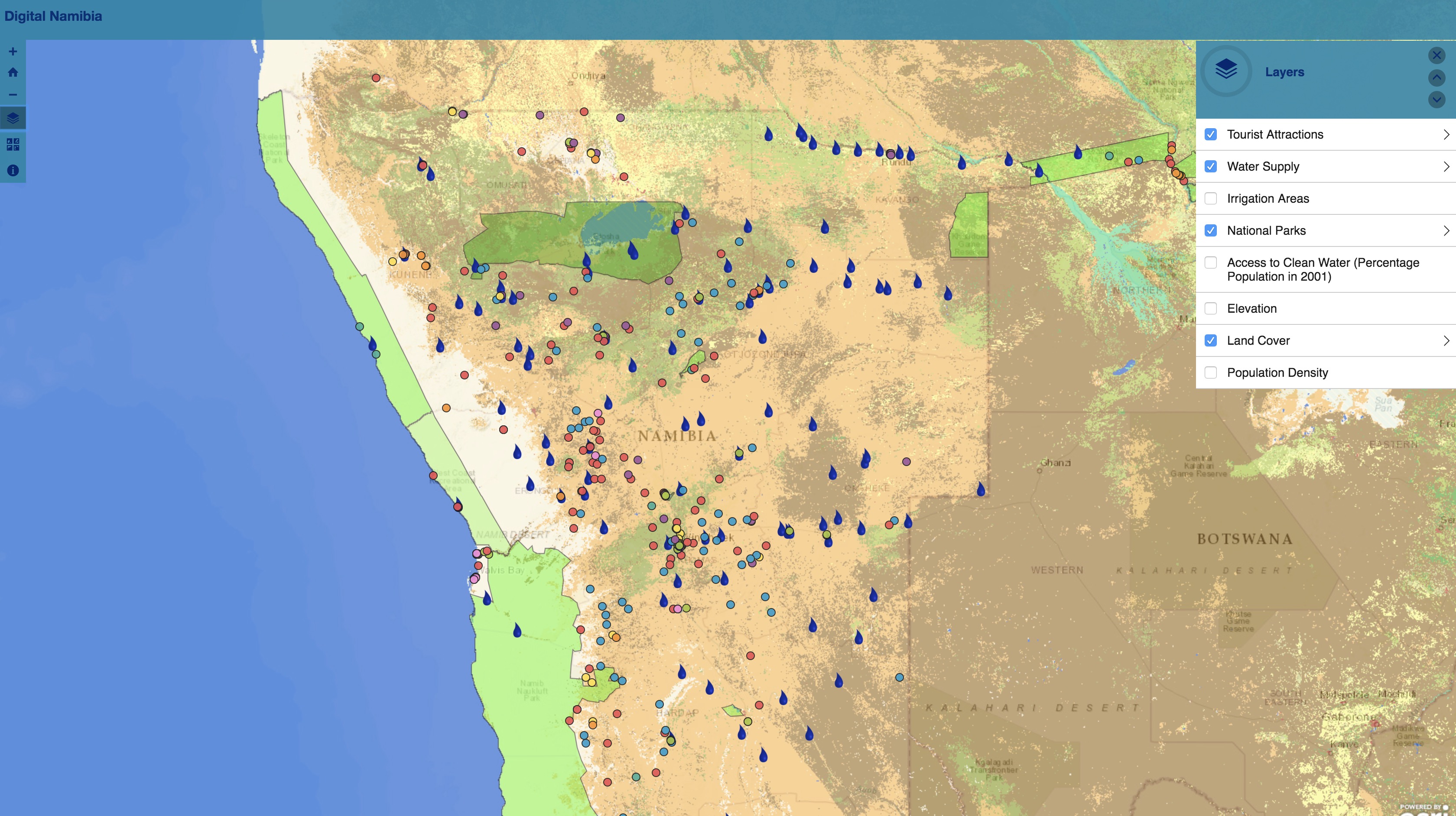
Visualizing Digital Namibia
Ocean Buoys
ESRI Water Balance
WorldPop Population
Night Lights
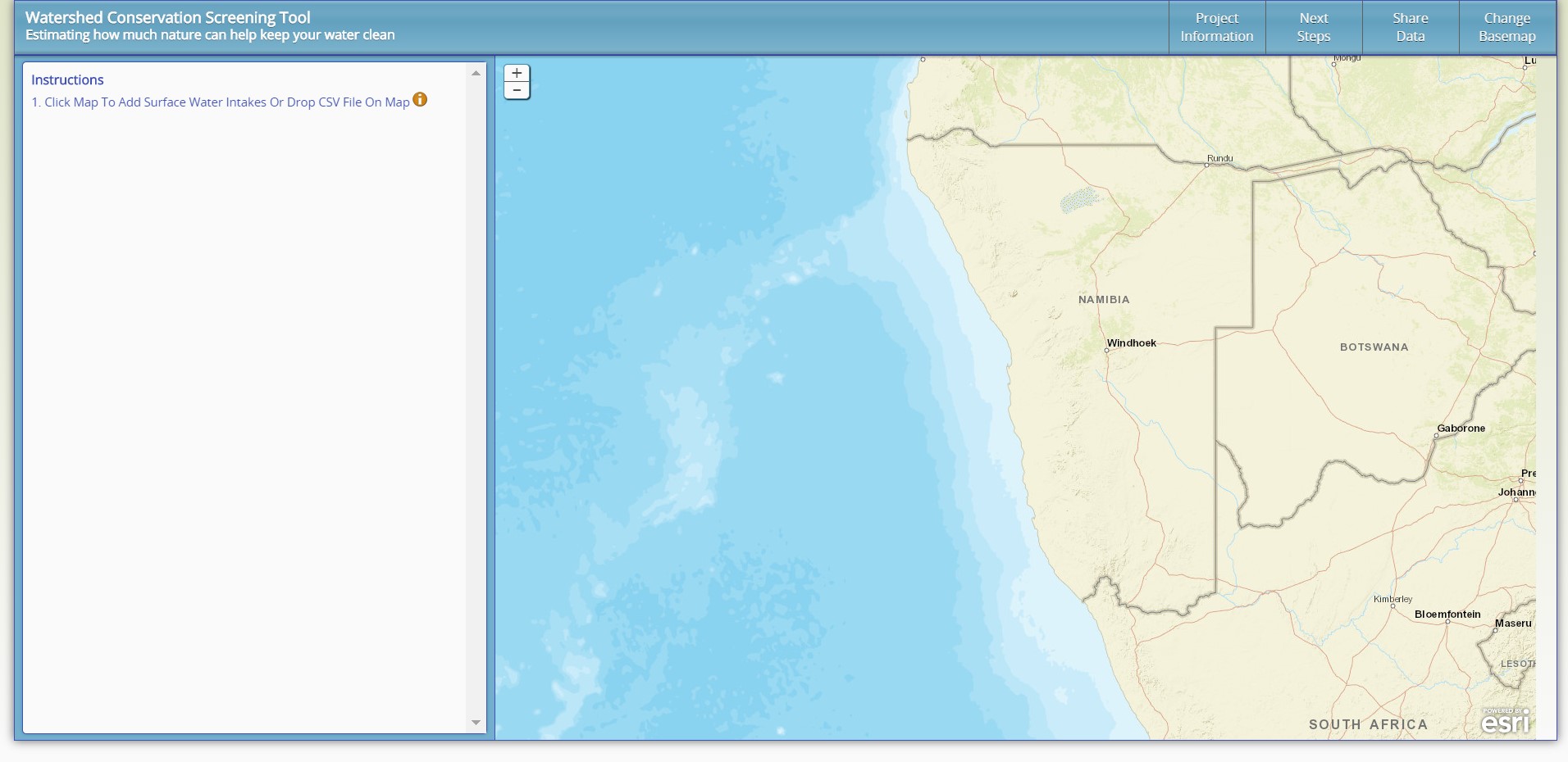
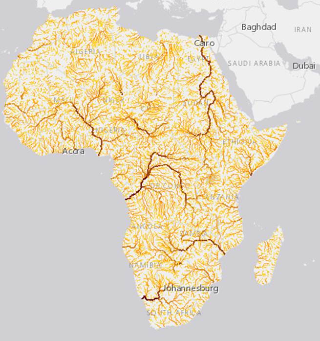
Watershed Mapper
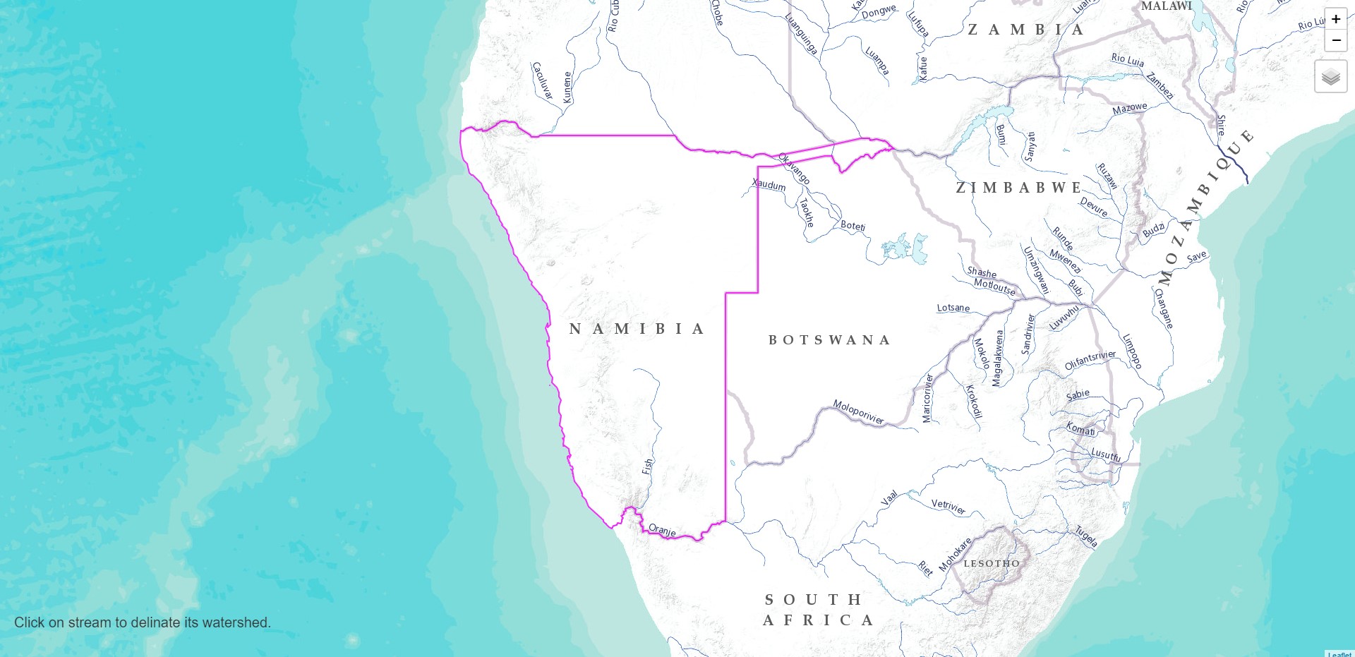
Illustrative Watershed Tool
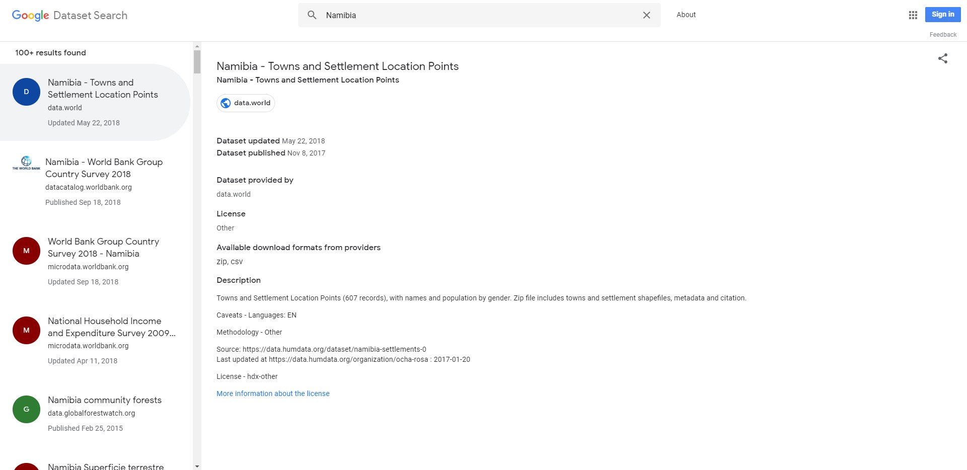
Google Dataset Search
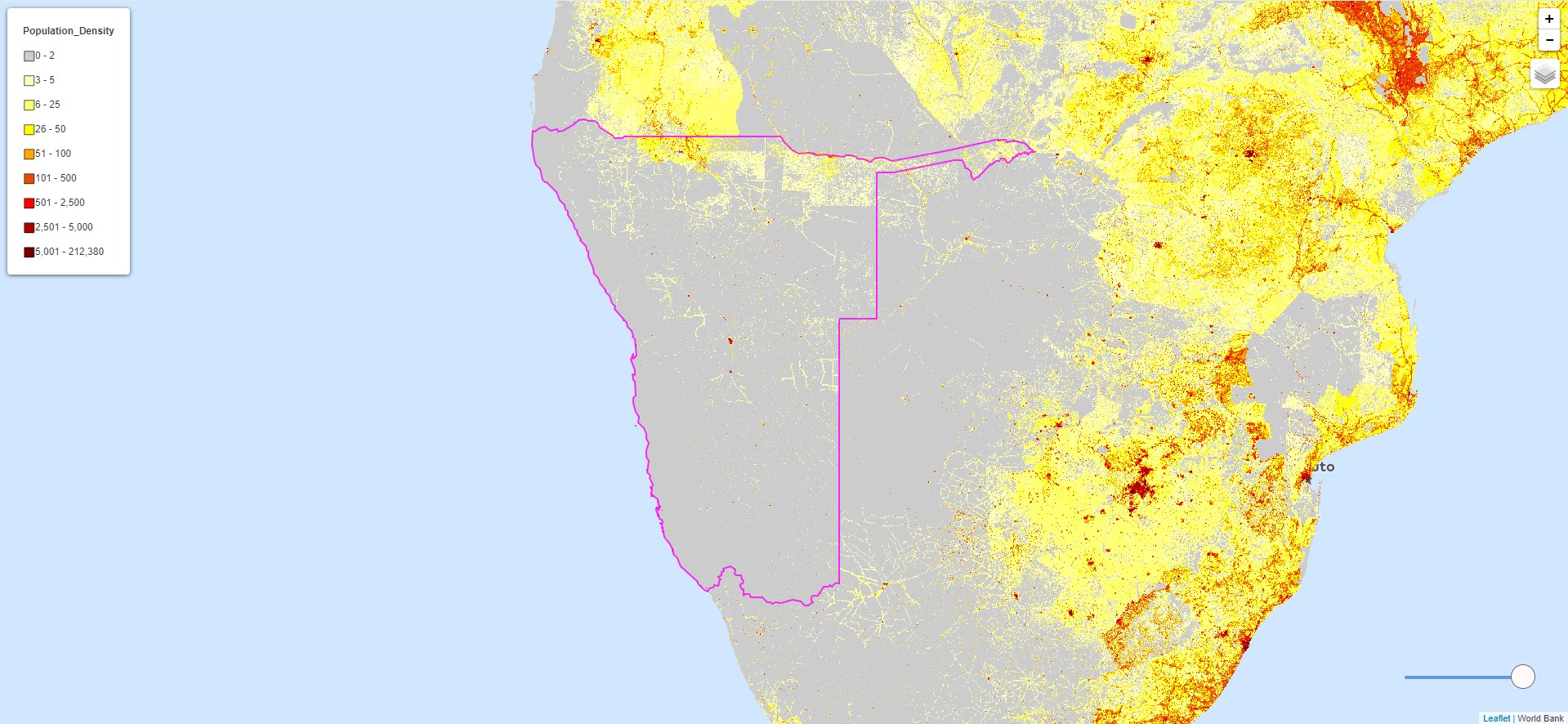
Population (Landscan)
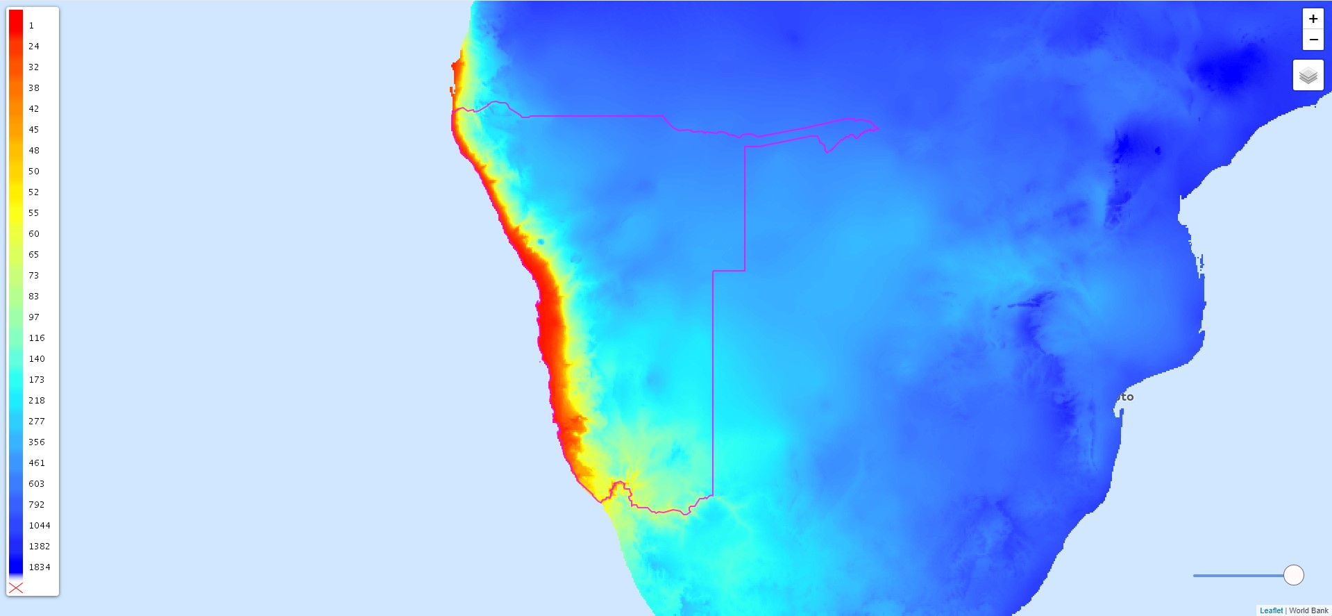
Average Annual Precipitation
MODIS Layers
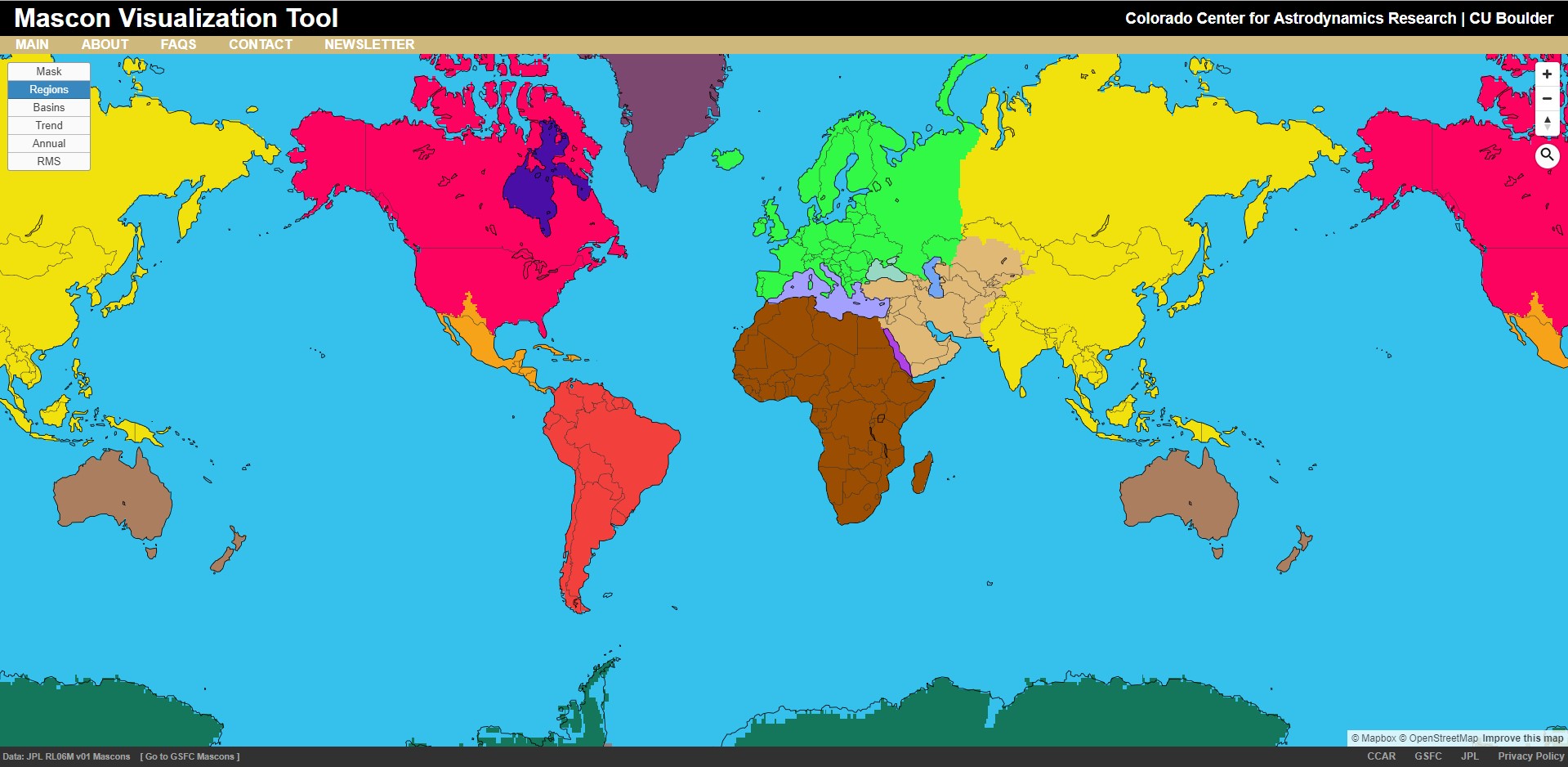
GRACE (Water Height)
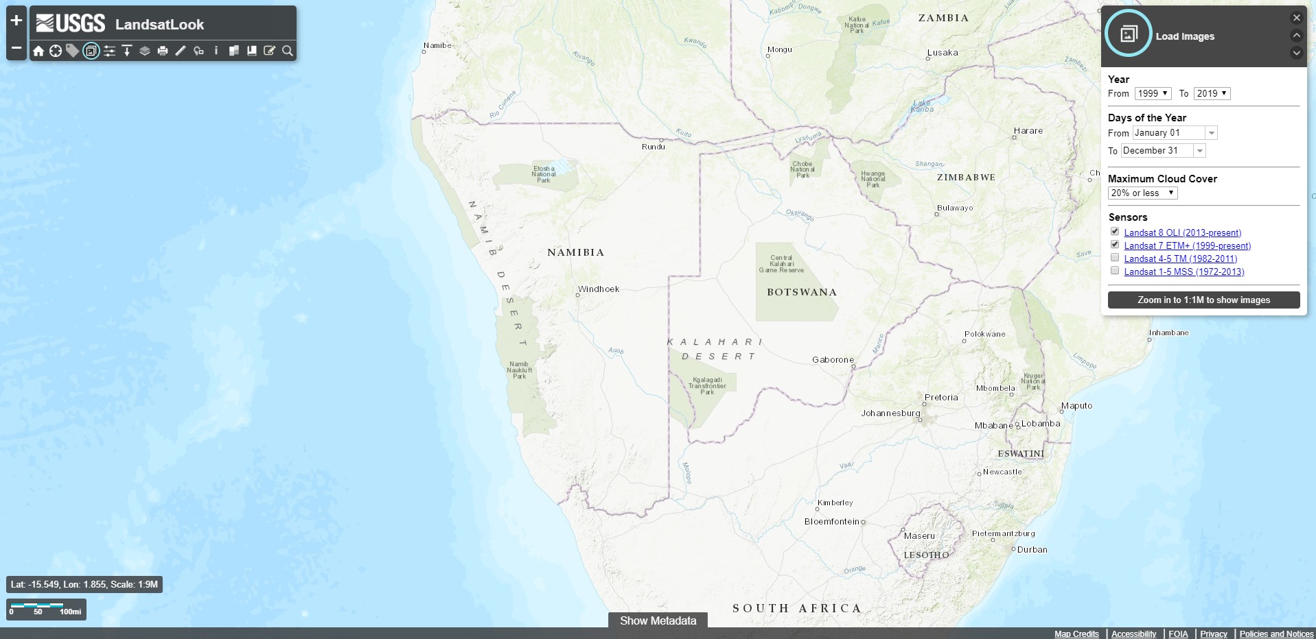
Landsat Look
Sentinel Look
ESA Website
NASA SERVIR
SERVIR Tethys Apps
EarthExplorer
Flood Observatory
DFO Flood App
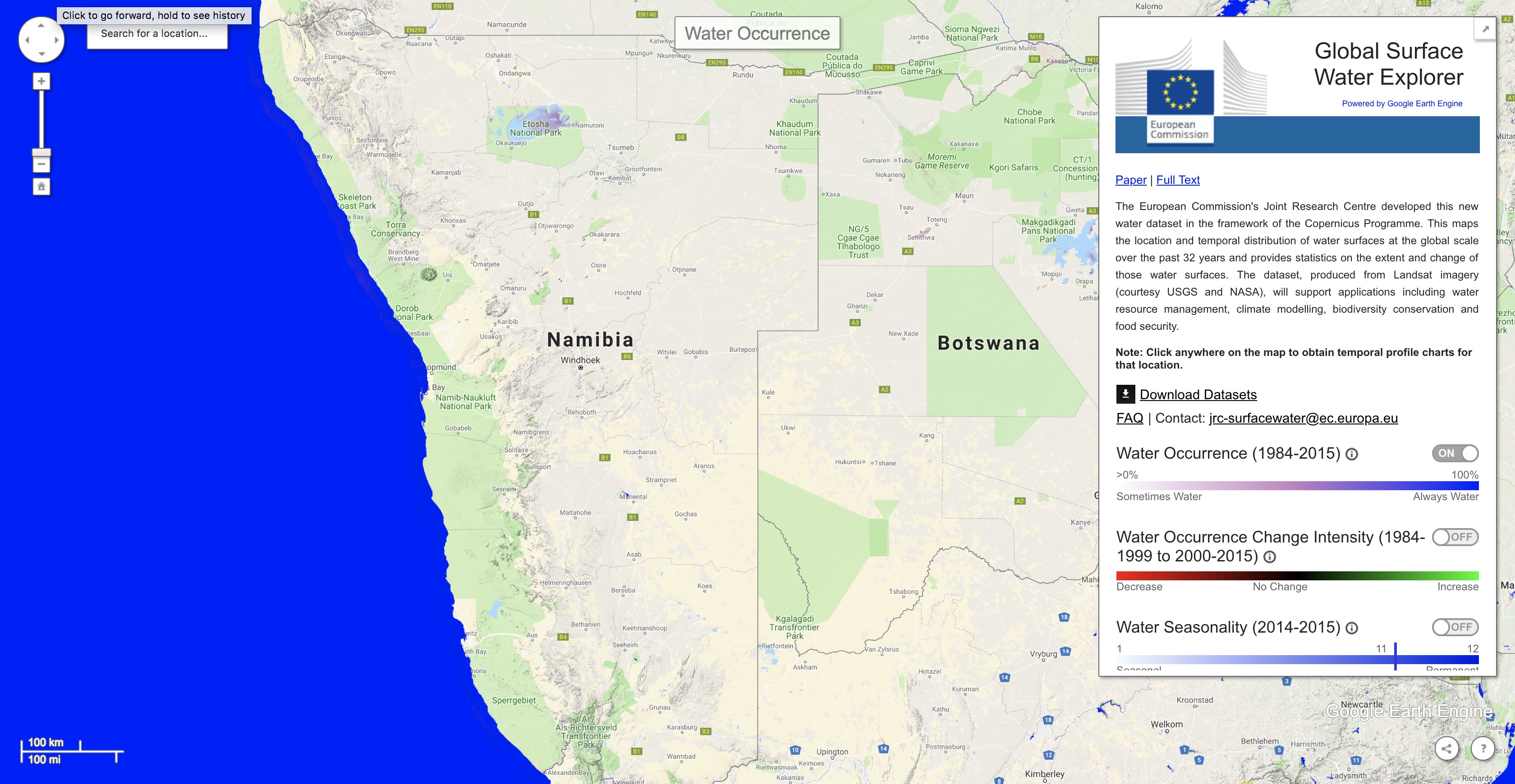
JRC Surface Water Explorer
Tethys - Streamflow Predictor
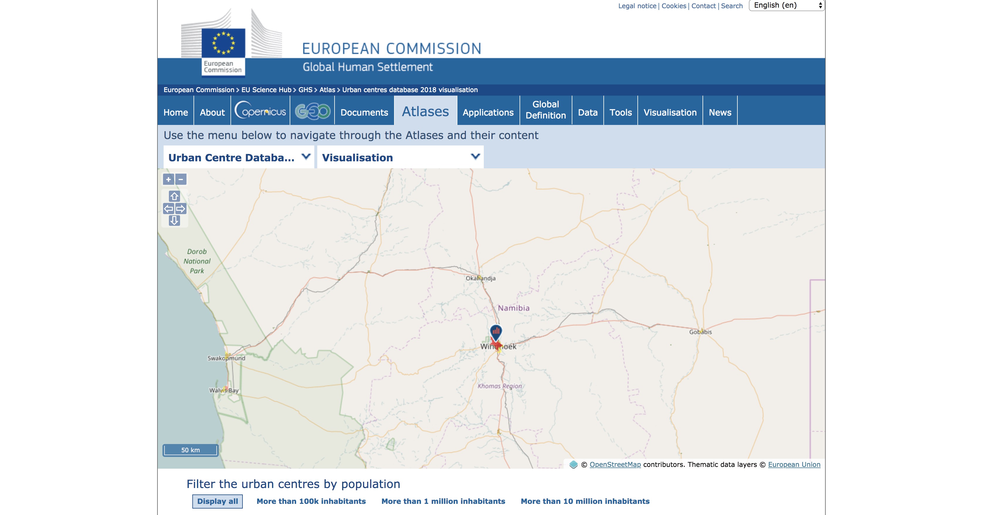
JRC Urban Explorer
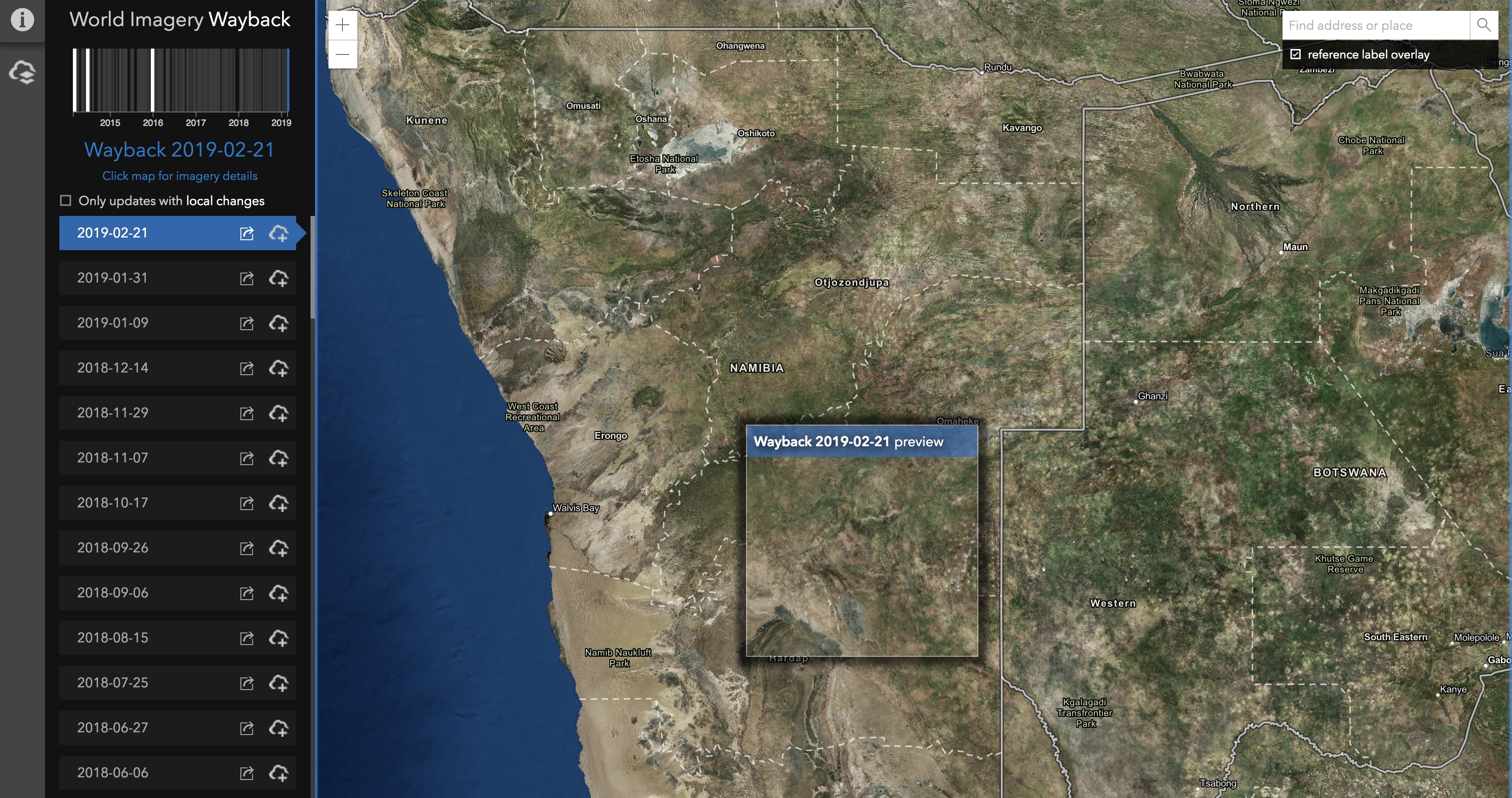
Hi-Res Satellite Data
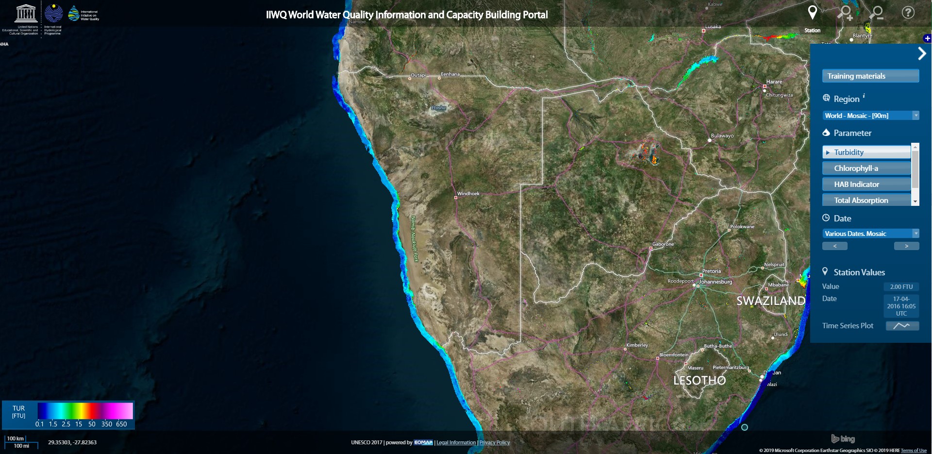
World Water Quality
GADAS
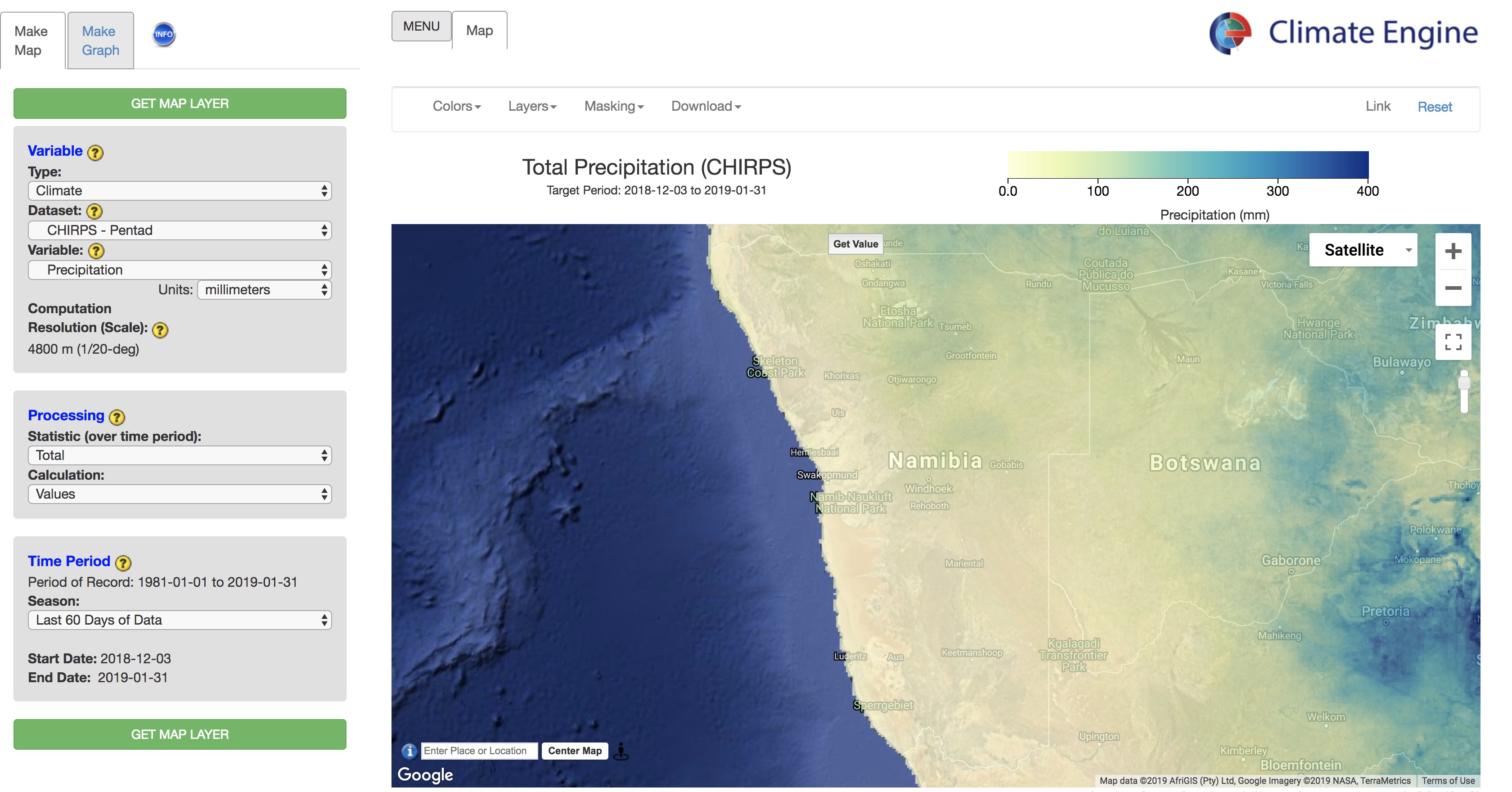
Climate Engine
MODIS Flood Mapper
GDACS
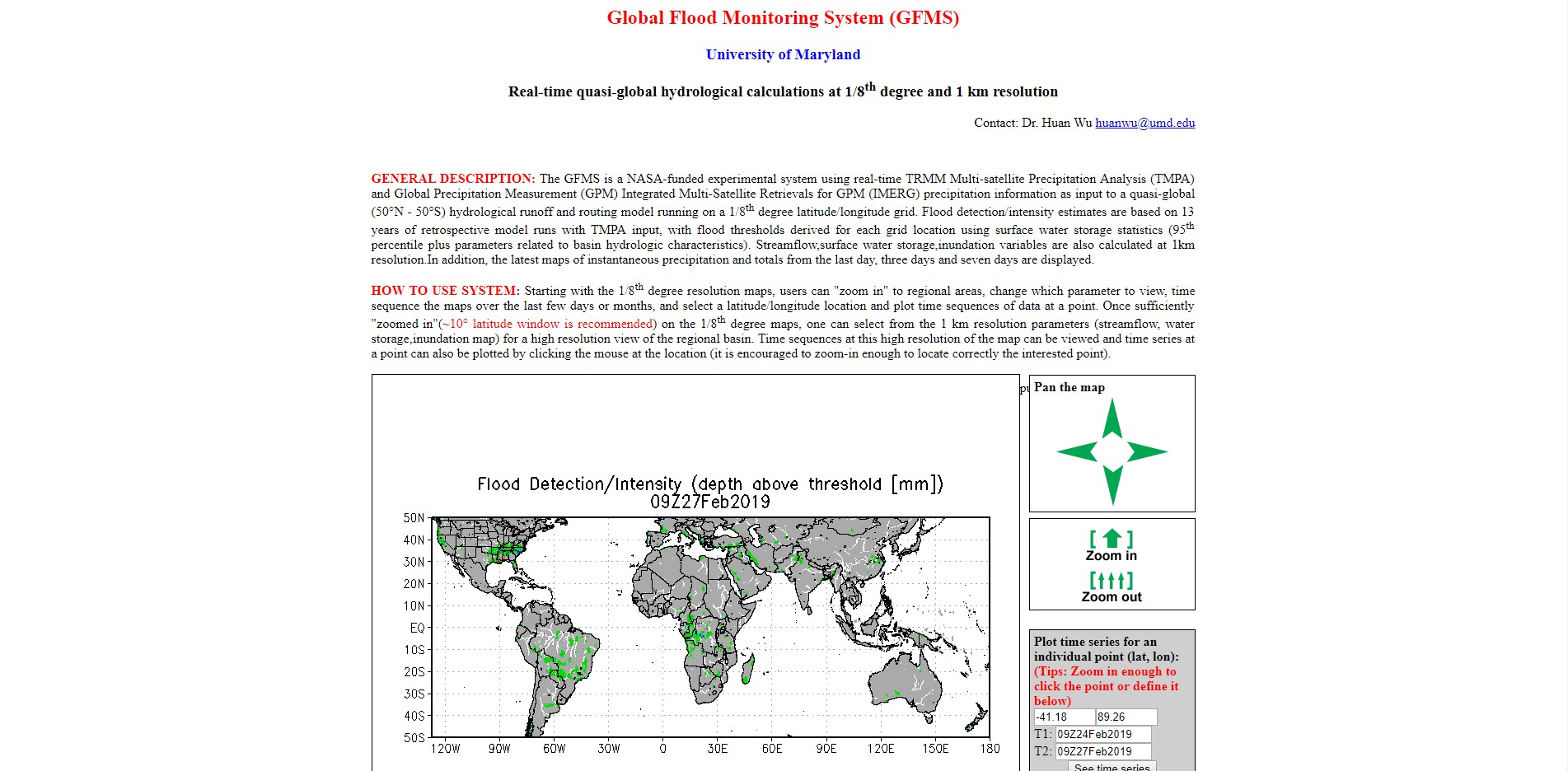
GFMS
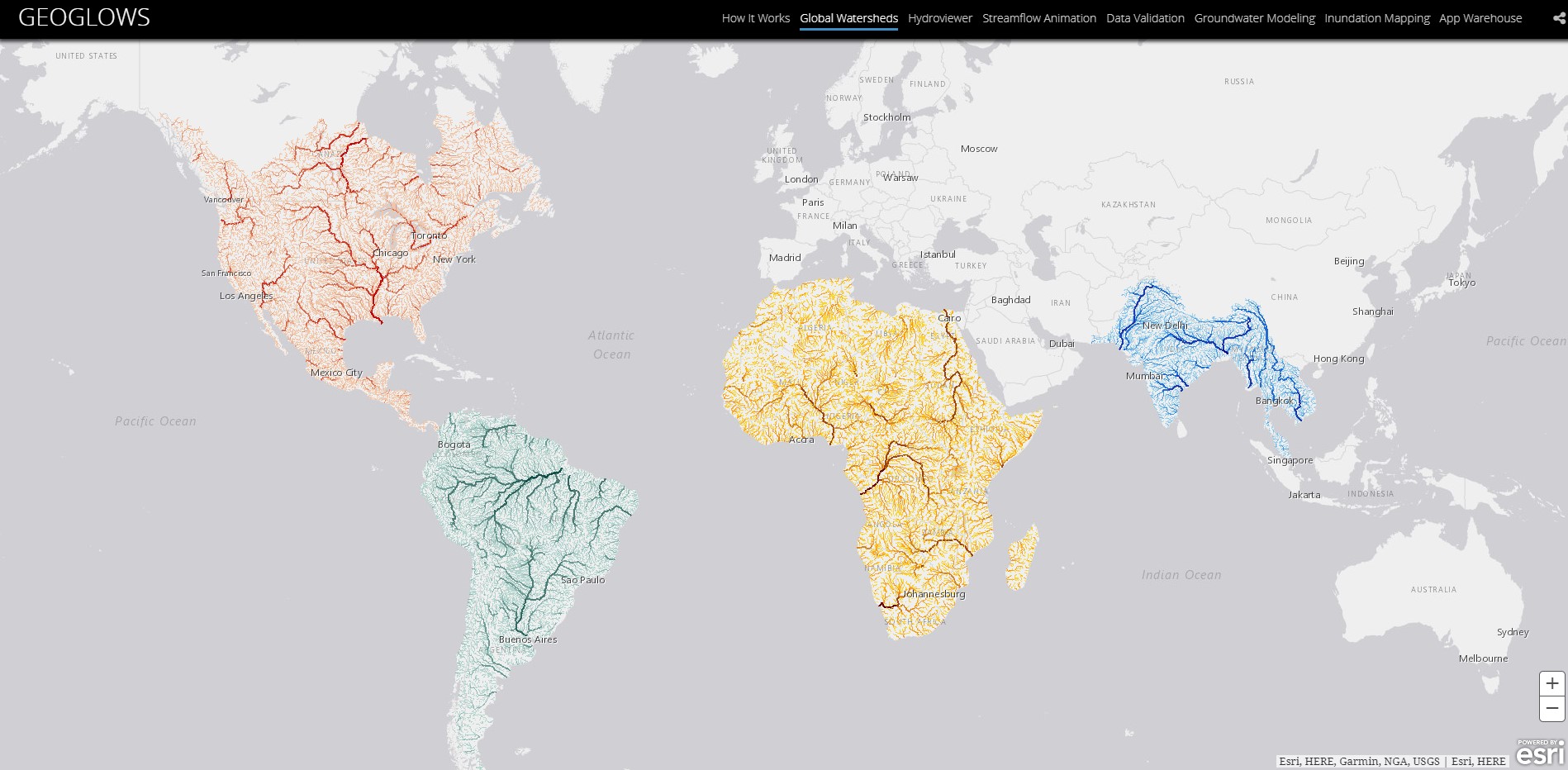
GEOGLOWS Global Streamflow Estimator
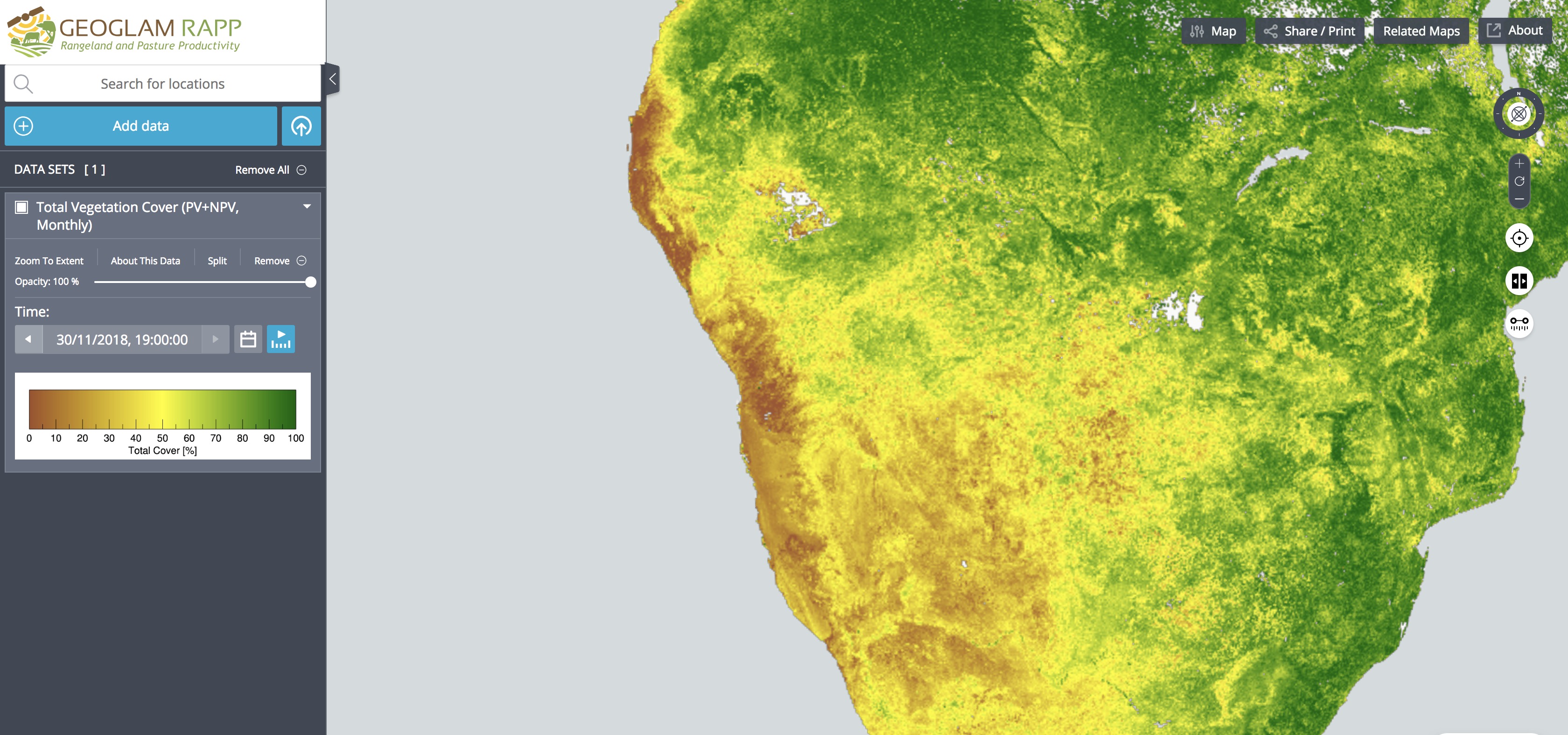
GEOGLAM RAPP
Satellite Precipitation
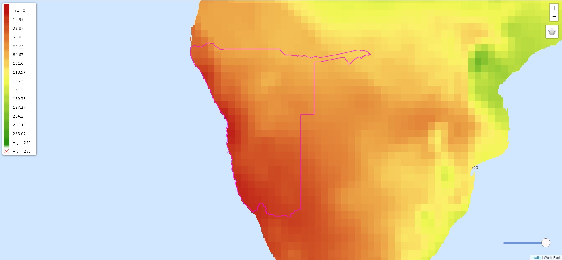
Satellite Temperature
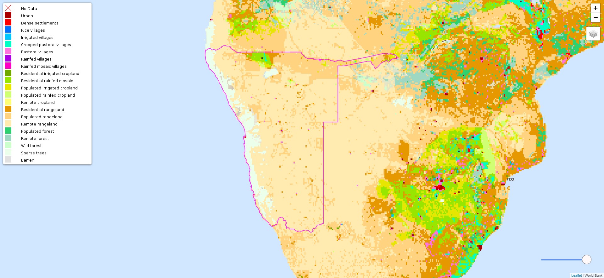
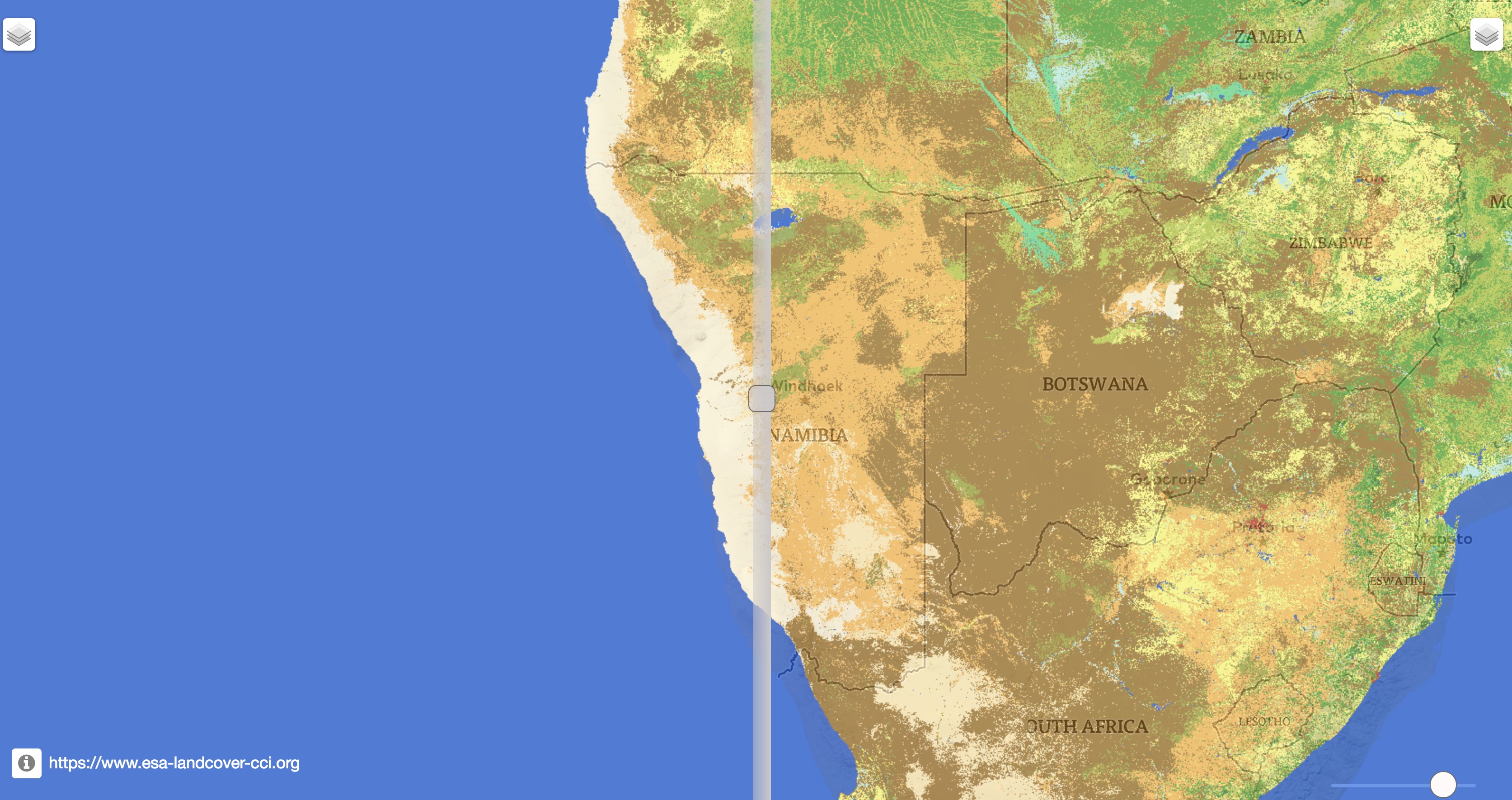
Land Cover Comparison