(Draft Version 1.0)
All
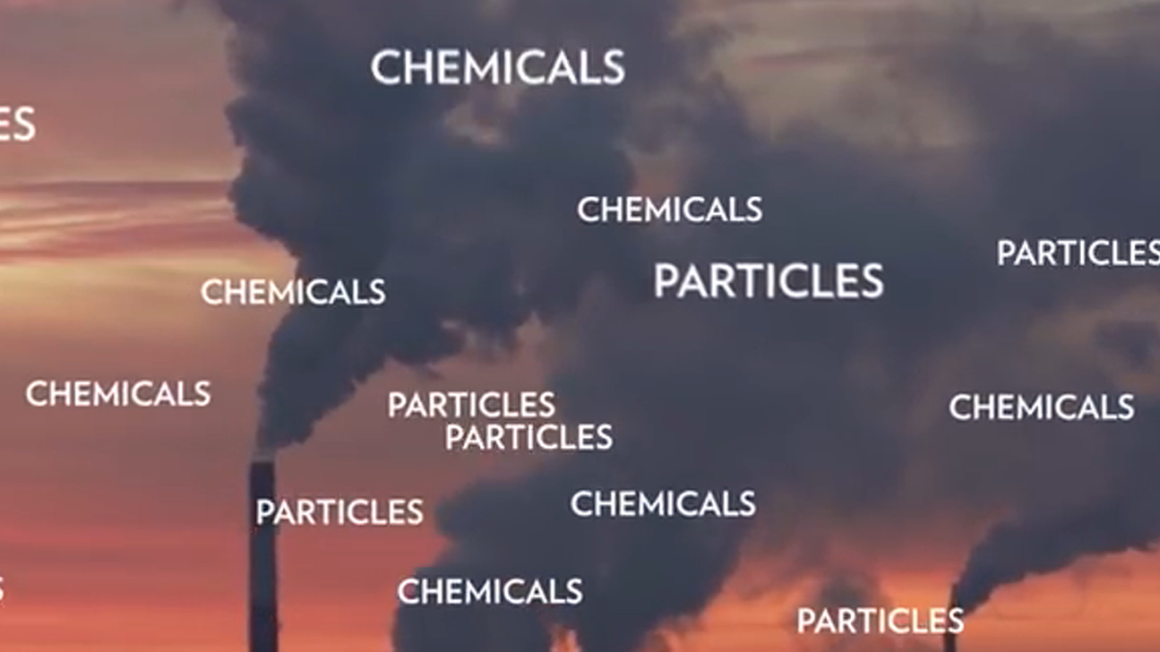
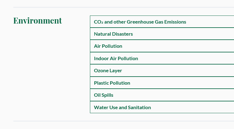
Air
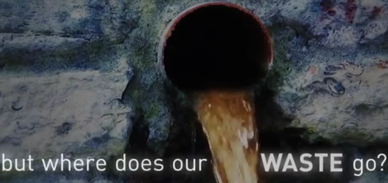
Water
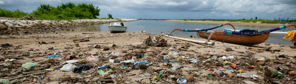
Marine
Land
Toxics
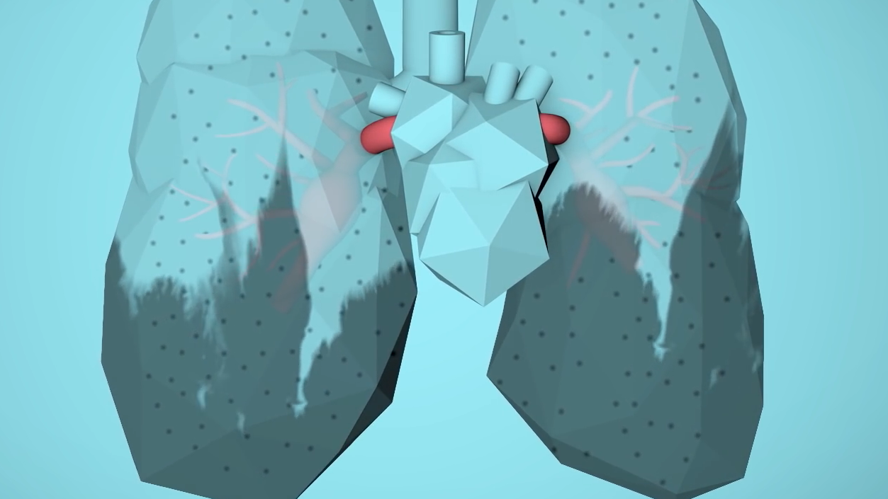
Health
Institutions
Other
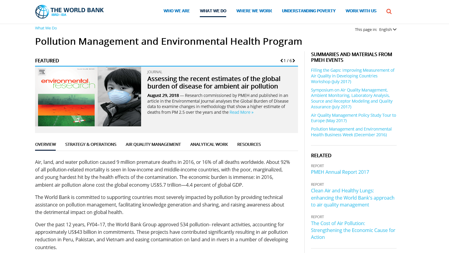
World Bank Group - Pollution Management
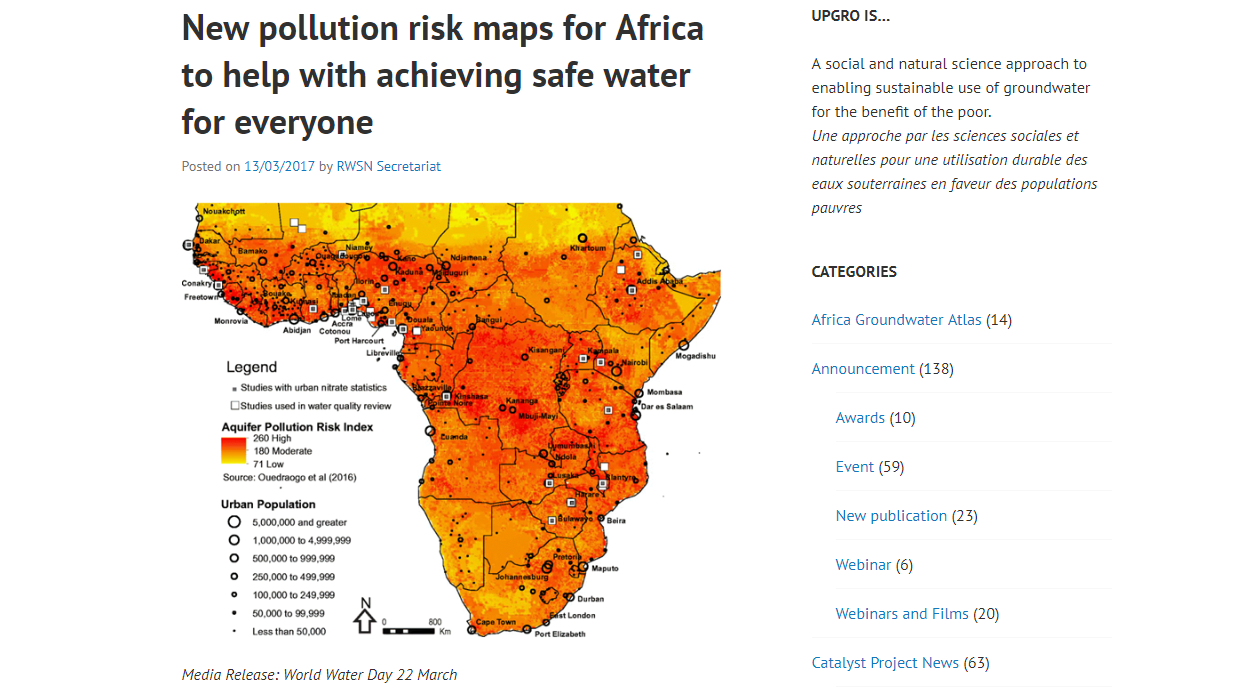
UPGro - Africa Aquifer Pollution Risk Maps
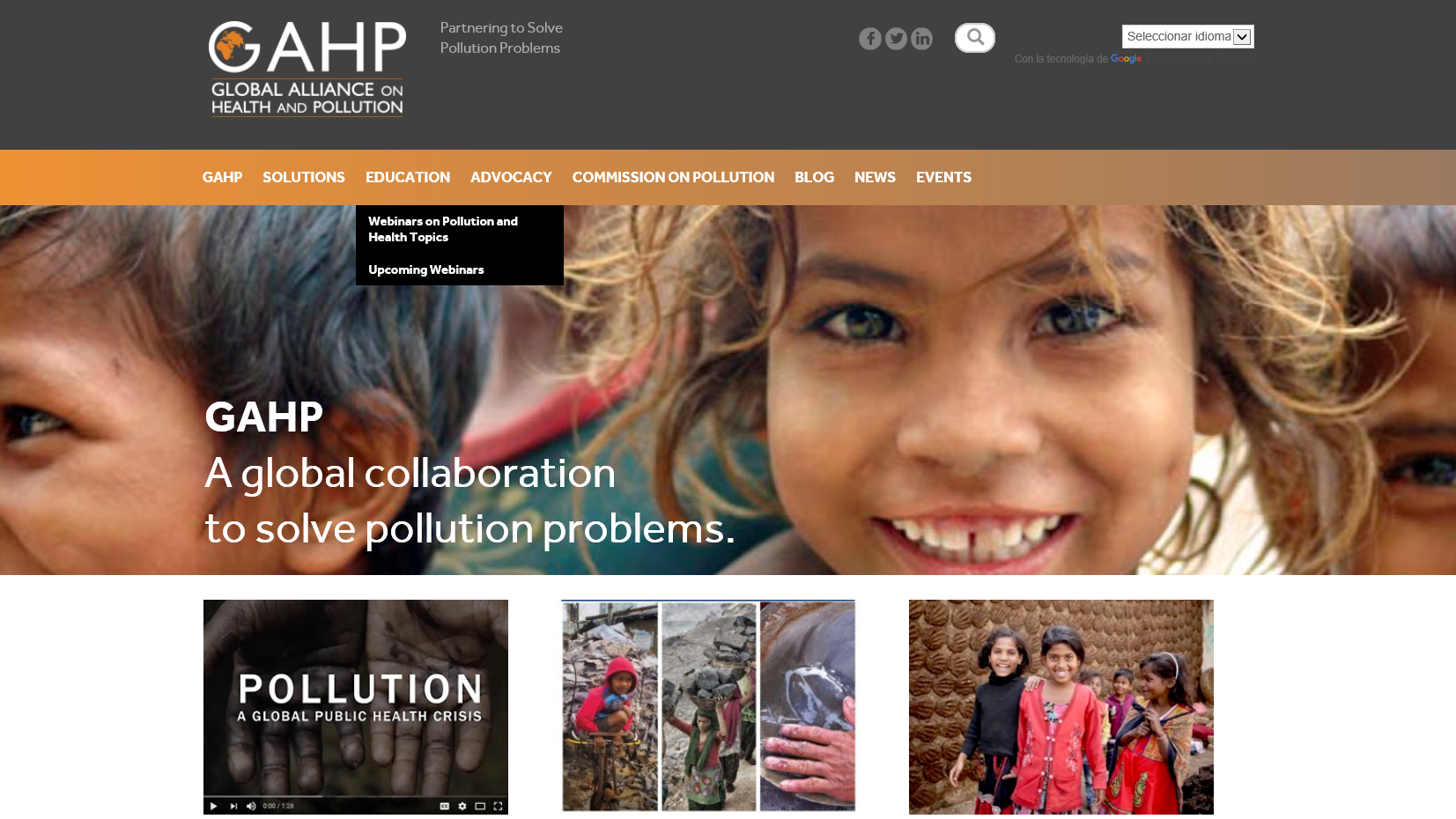
Global Alliance on Health and Pollution
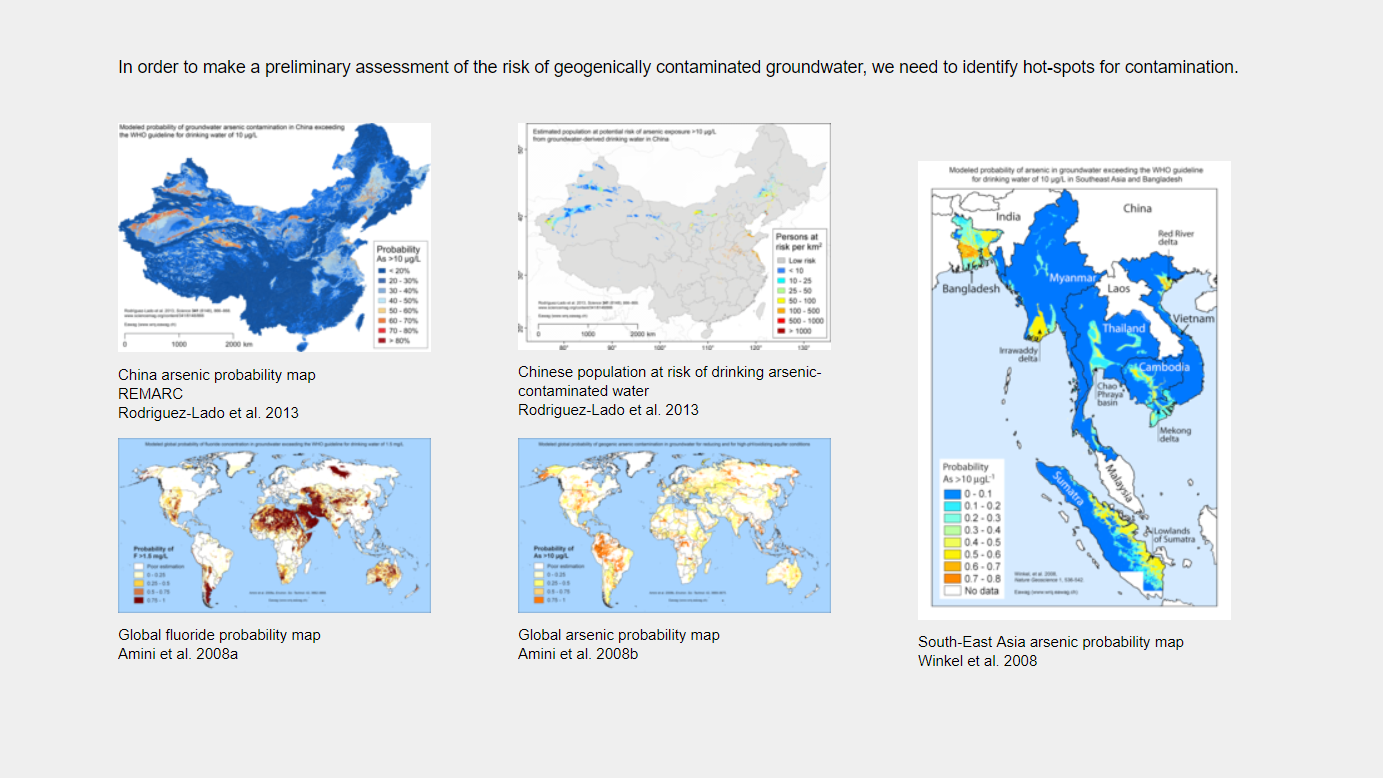
Risk Maps (Eawag): World and South East Asia
Pure Earth
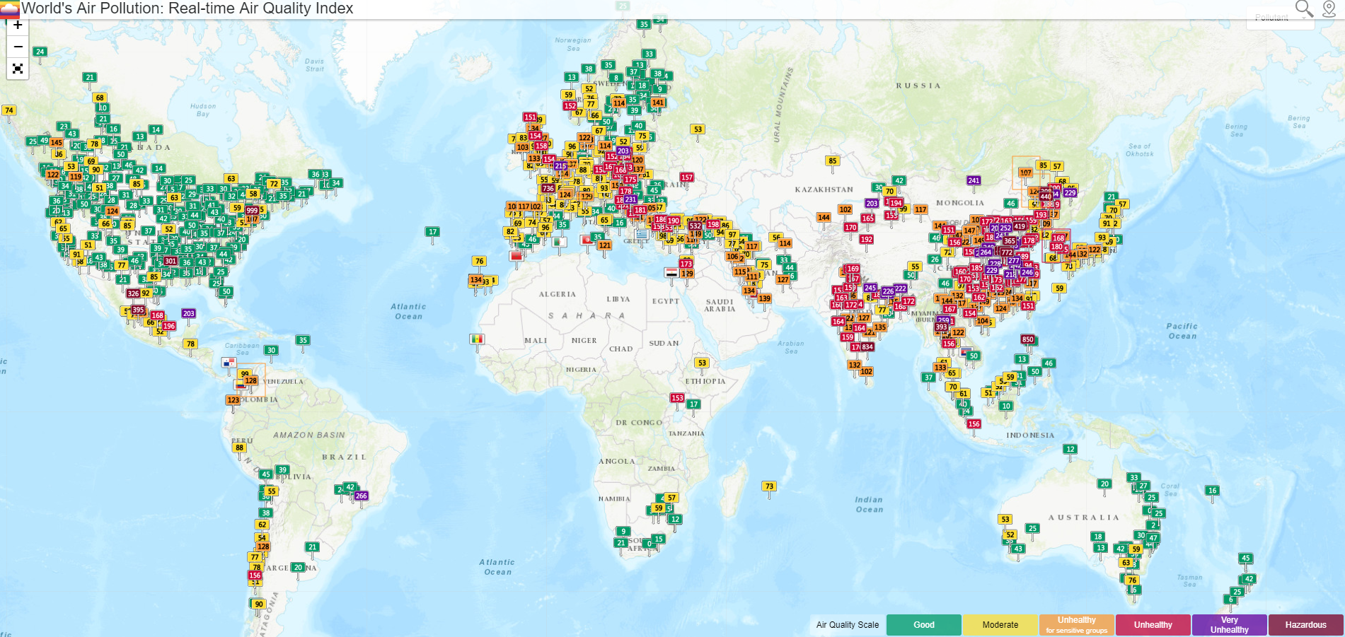
WAQI: Real-time Air Quality Index
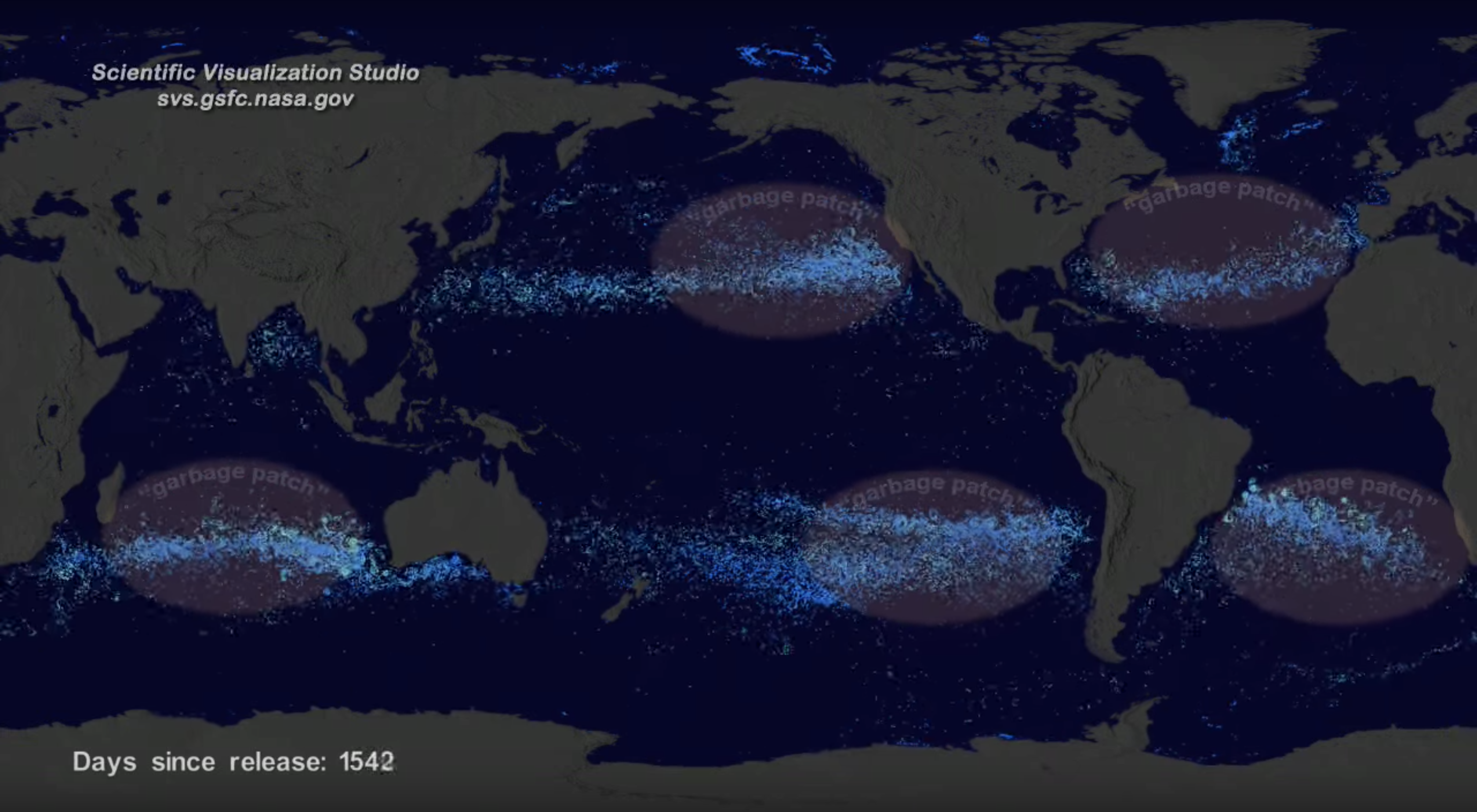
NASA Visualization of the Ocean's Garbage Patches
One year time-lapse of CO2 surface concentration: 2016
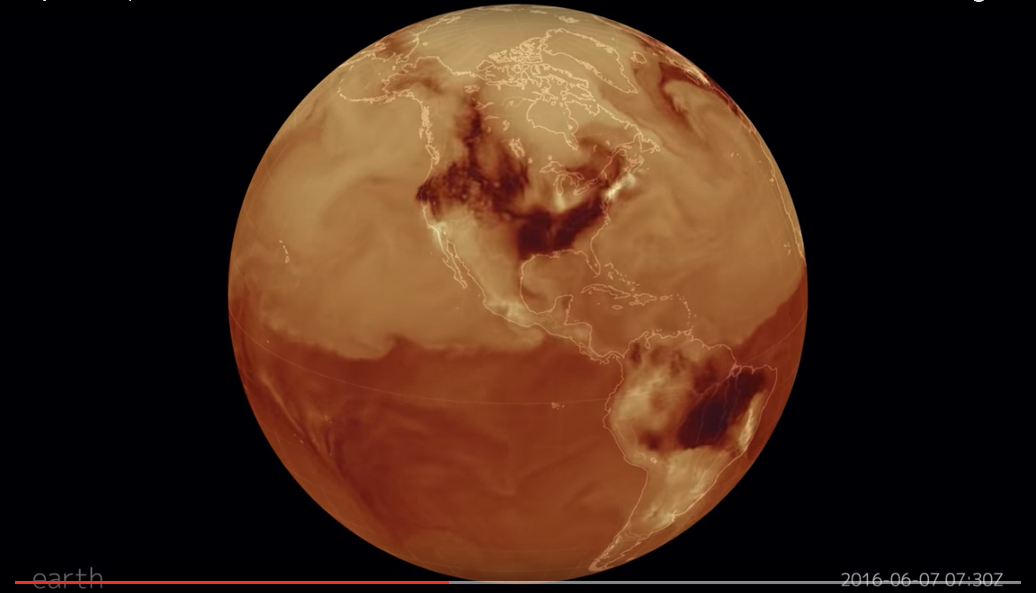
Global map of PM10
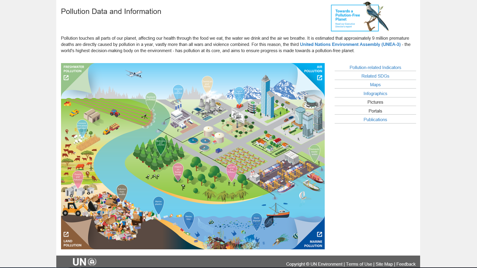
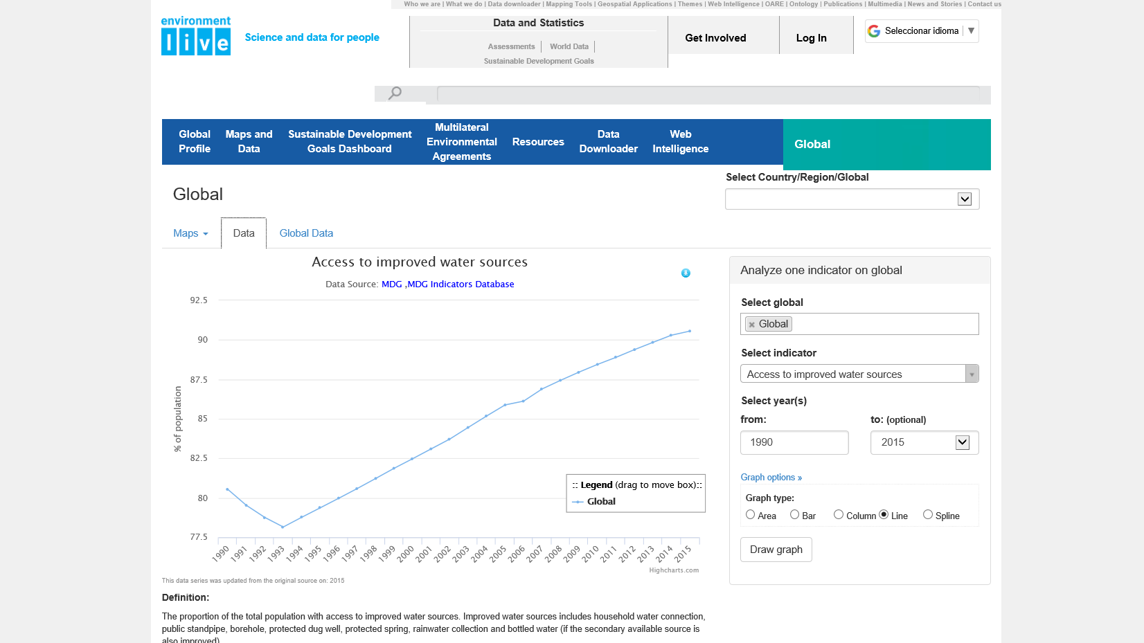
Environment Live: Pollution Data and Information
OpenAQ: Air quality data
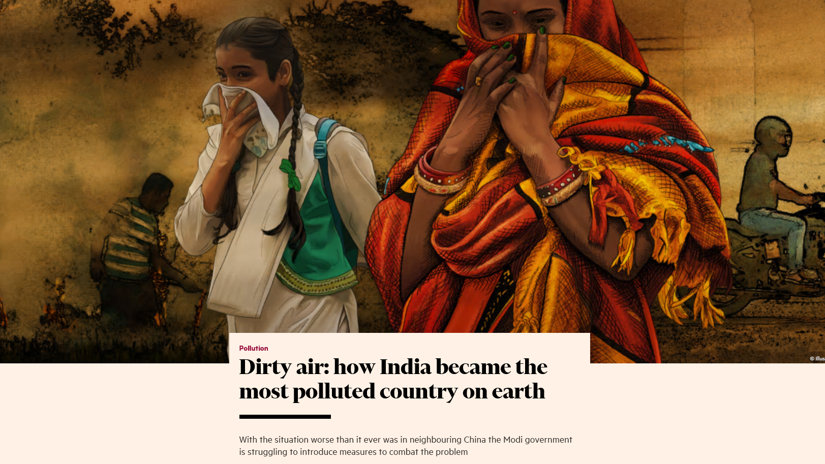
Dirty Air: India's Pollution Nightmare
Global map of PM2.5
UN Environment Programme
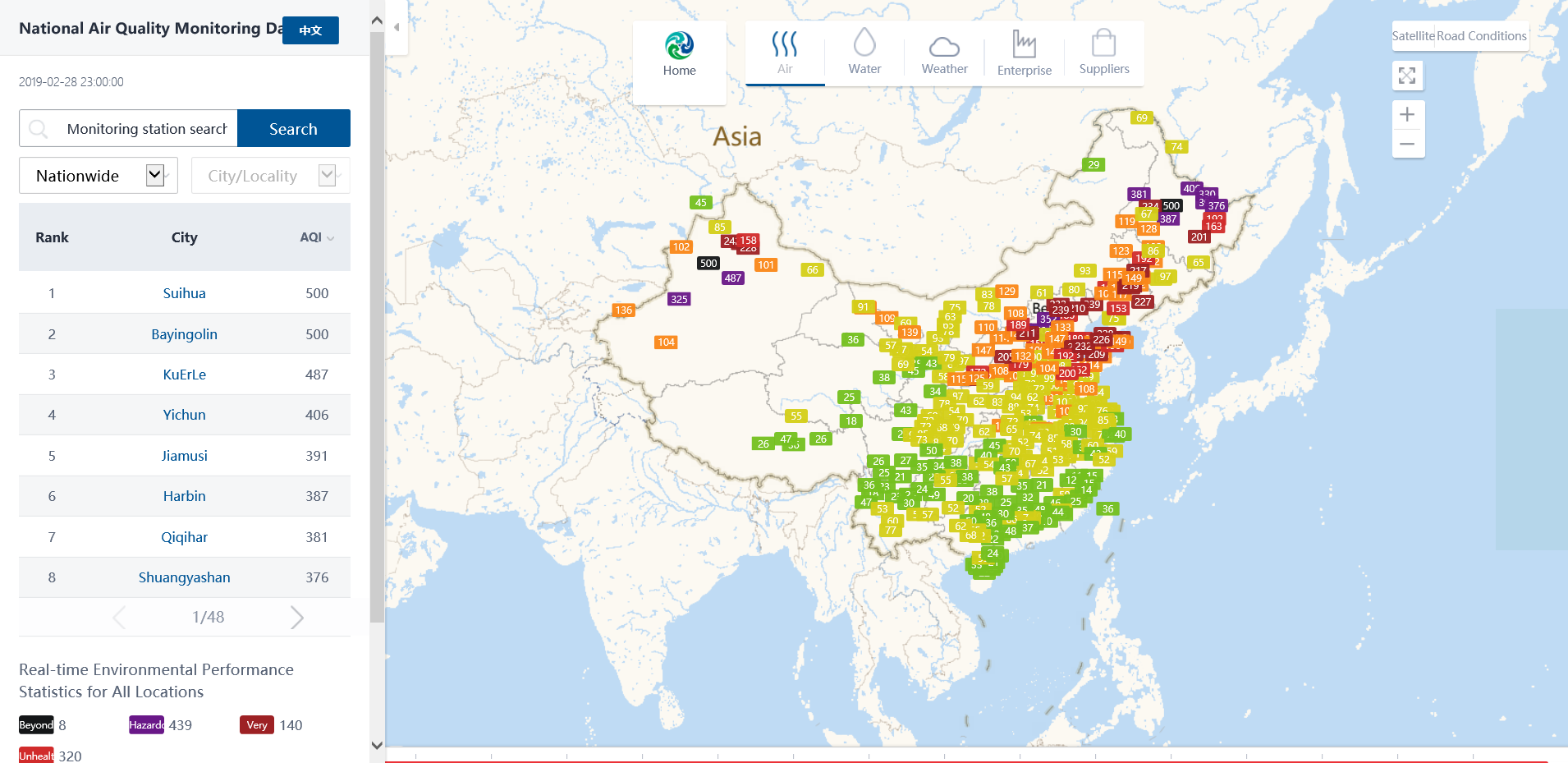
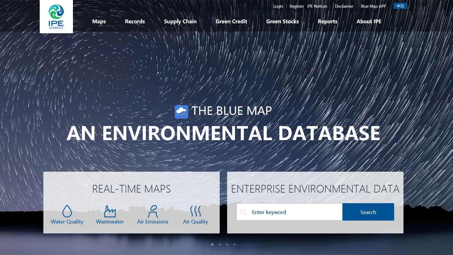
Blue Map China: National Environmental Data
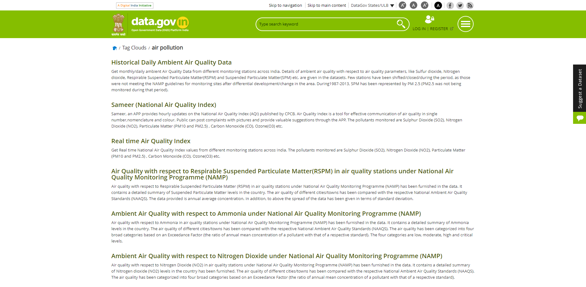
Open Government Data India
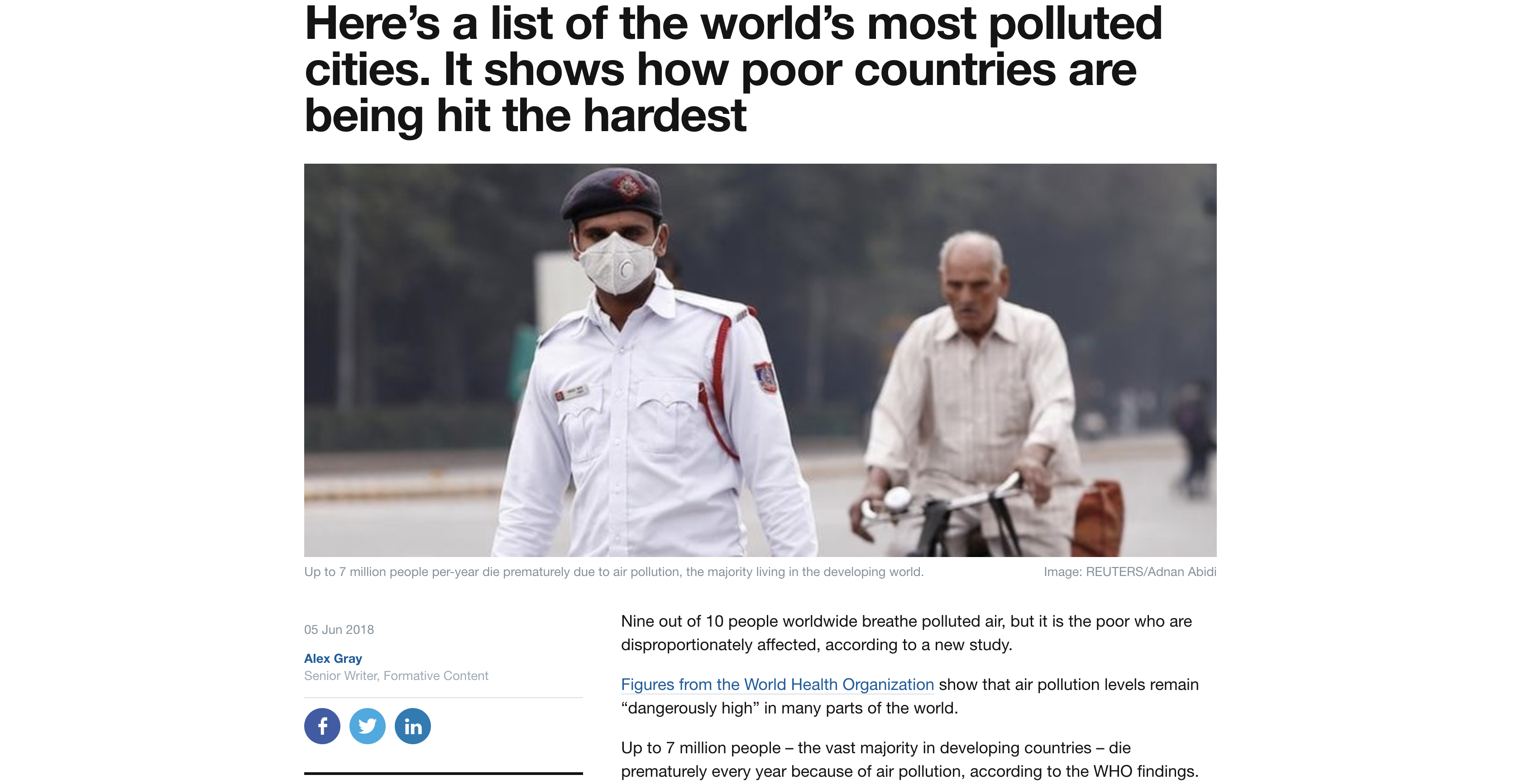
World's most polluted cities
Air Pollution Data
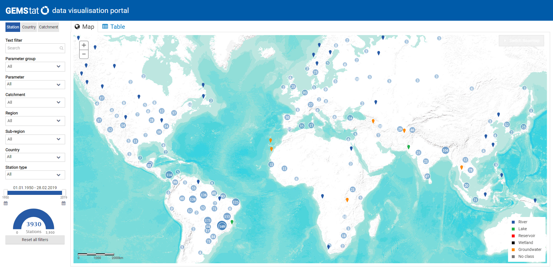
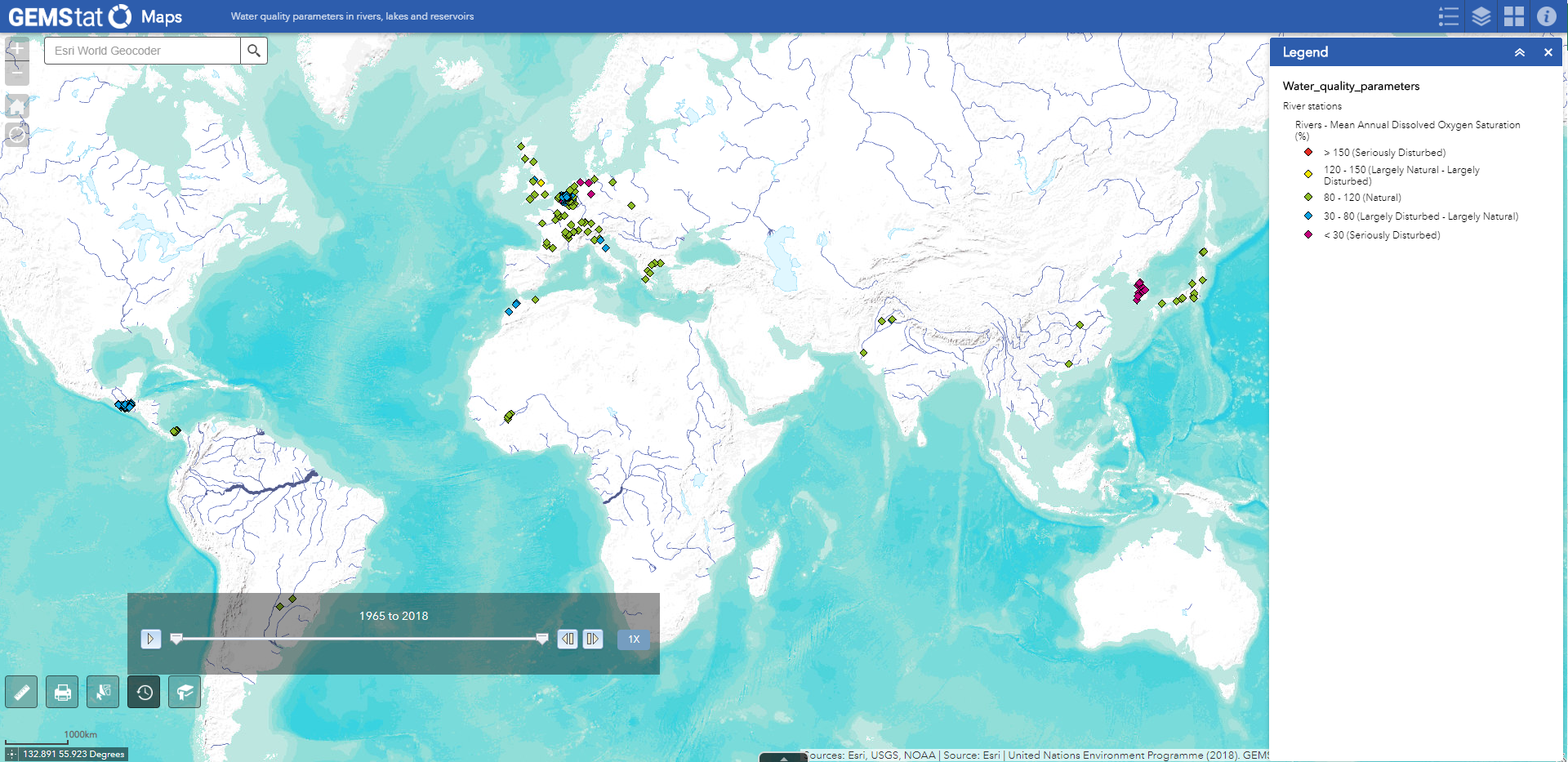
GEMStat Data visualization Portal
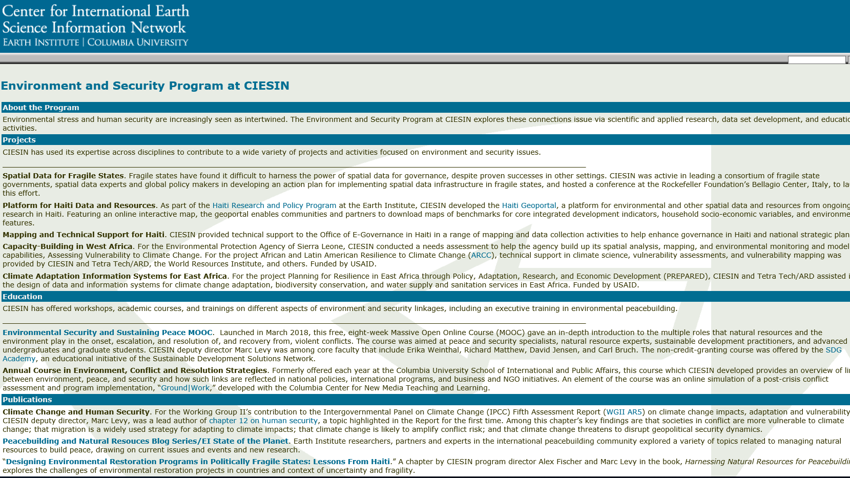
Center for International Earth Science Information Network
Global Environment Monitoring System for Freshwater
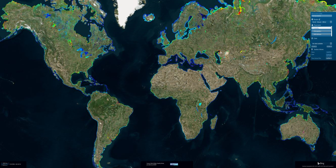
World Water Quality Portal
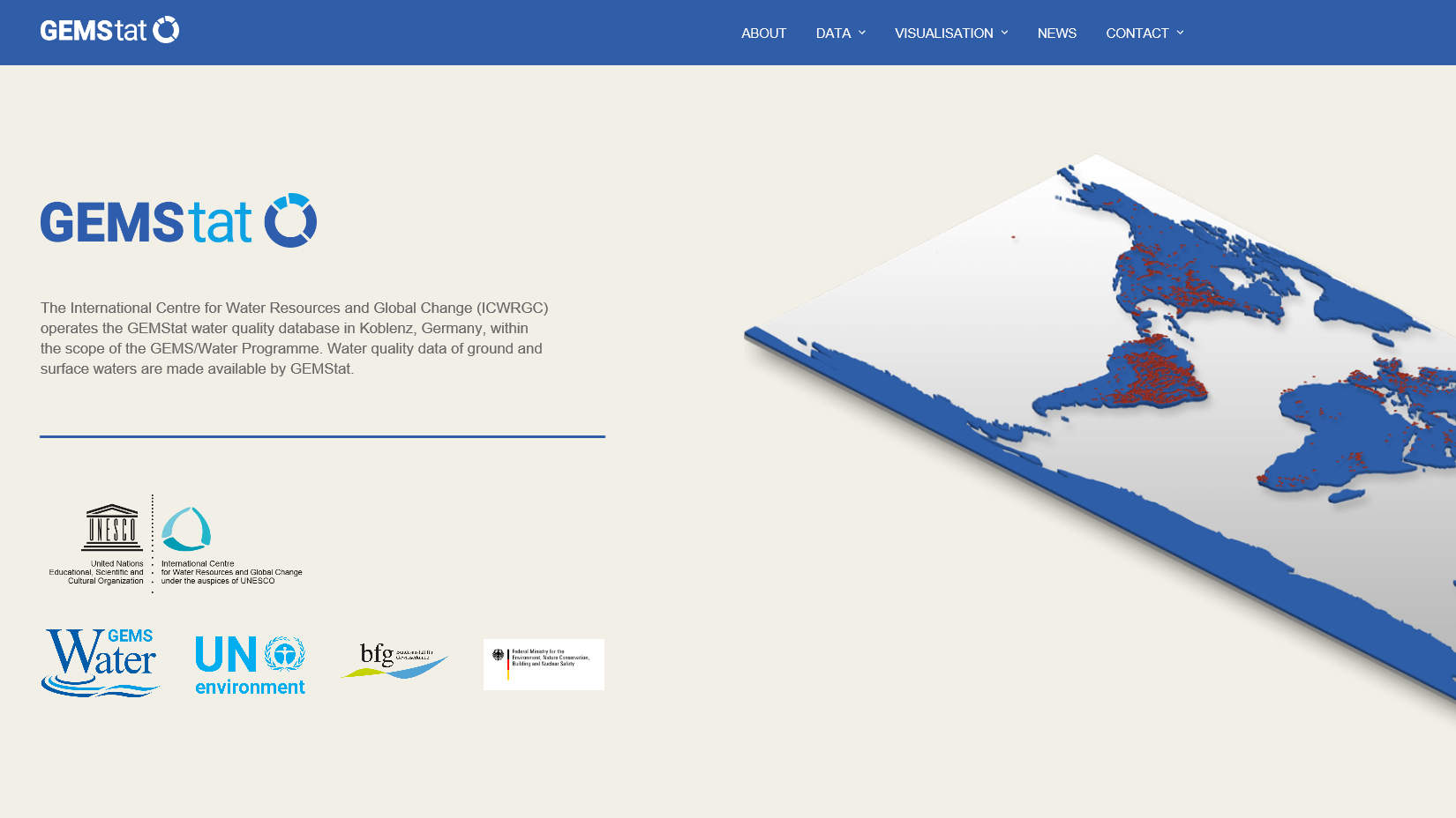
GEMStat: Water Quality
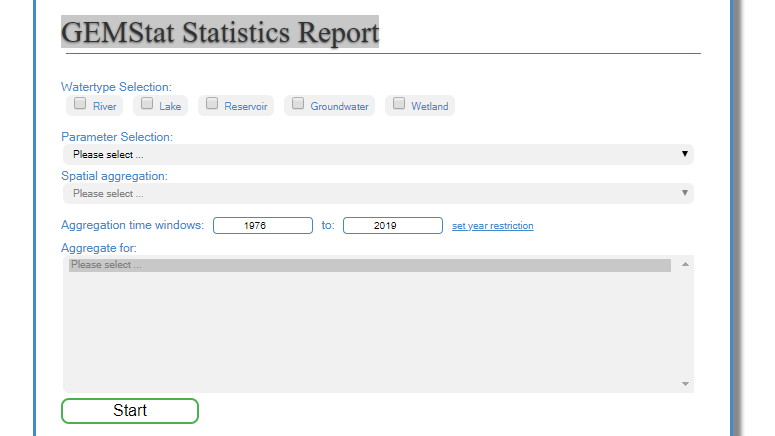
GEMStat Statistics Report
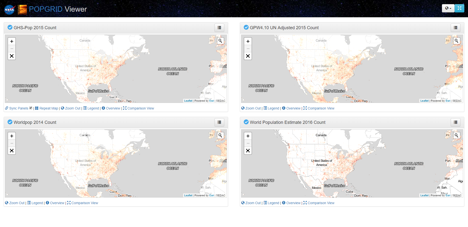
POPGRID Viewer
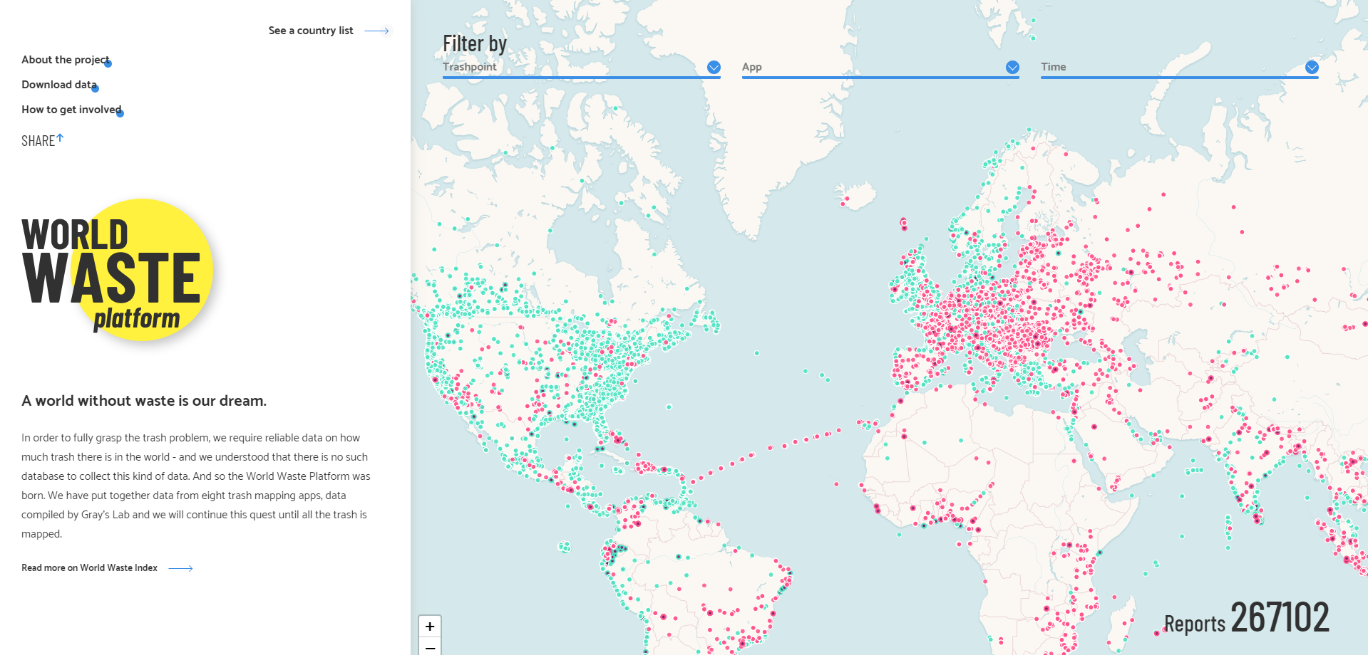
World Waste Platform
Pakistan Air Quality Initiative
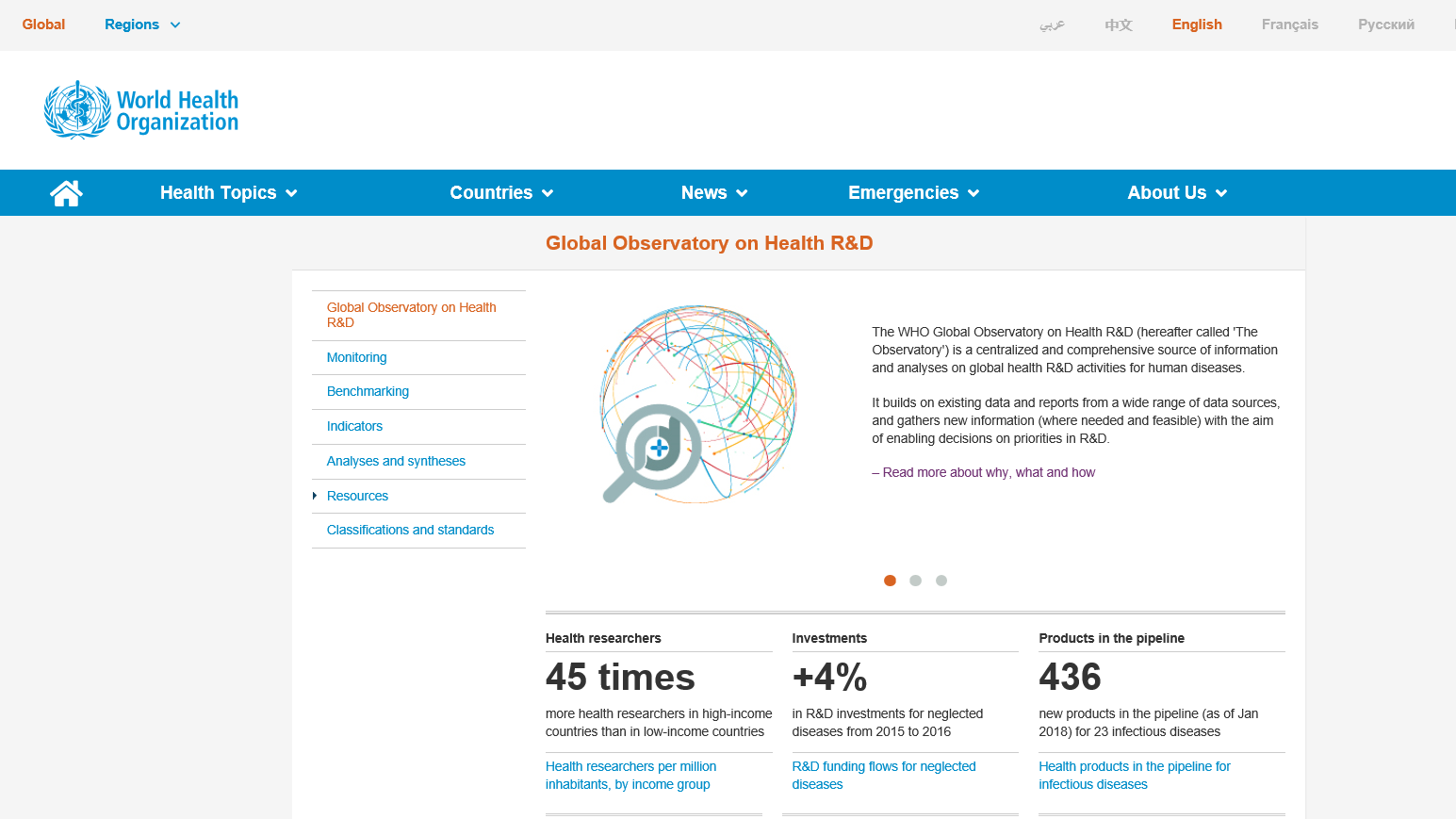
WHO Global Health Observatory
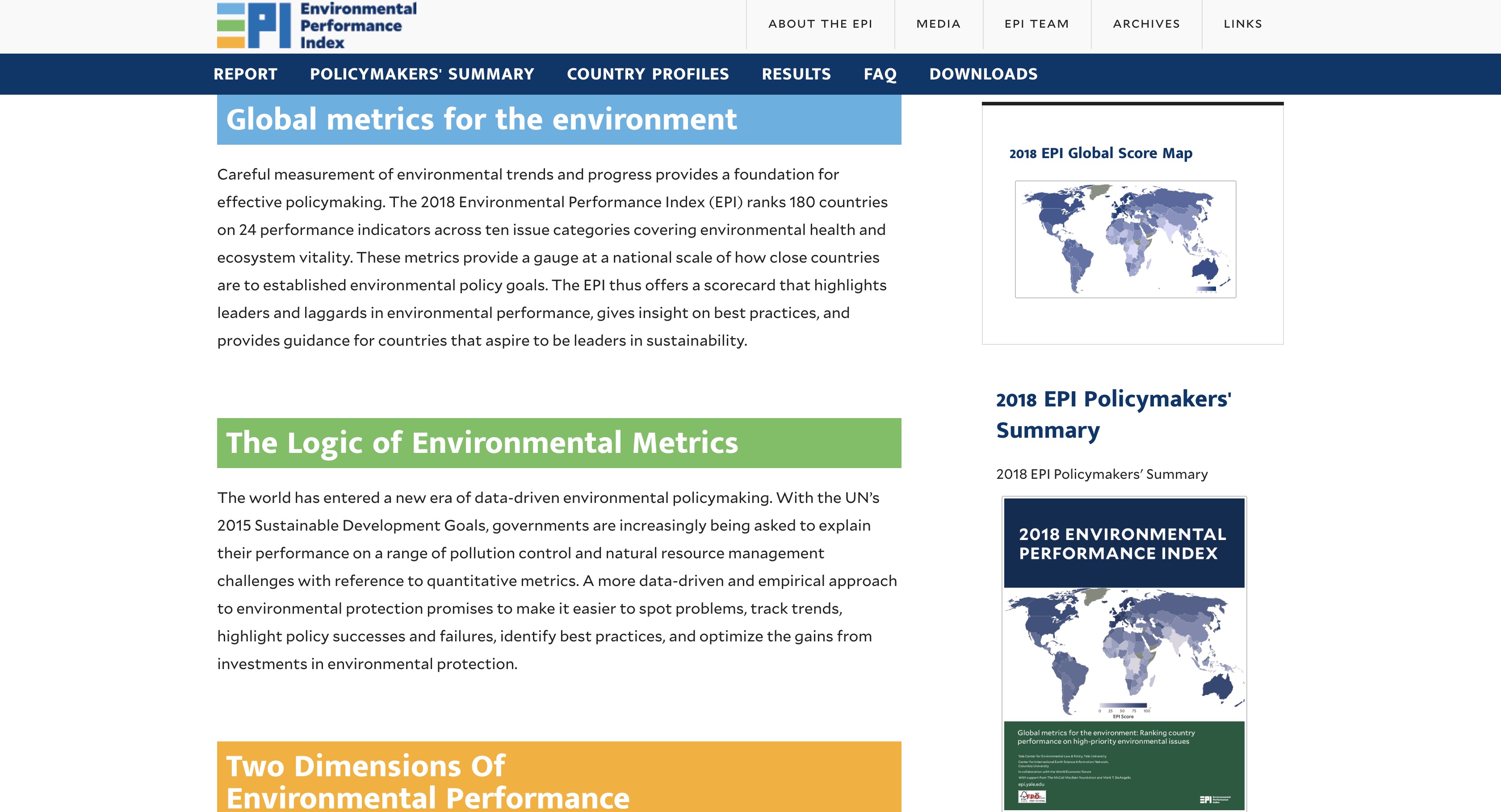
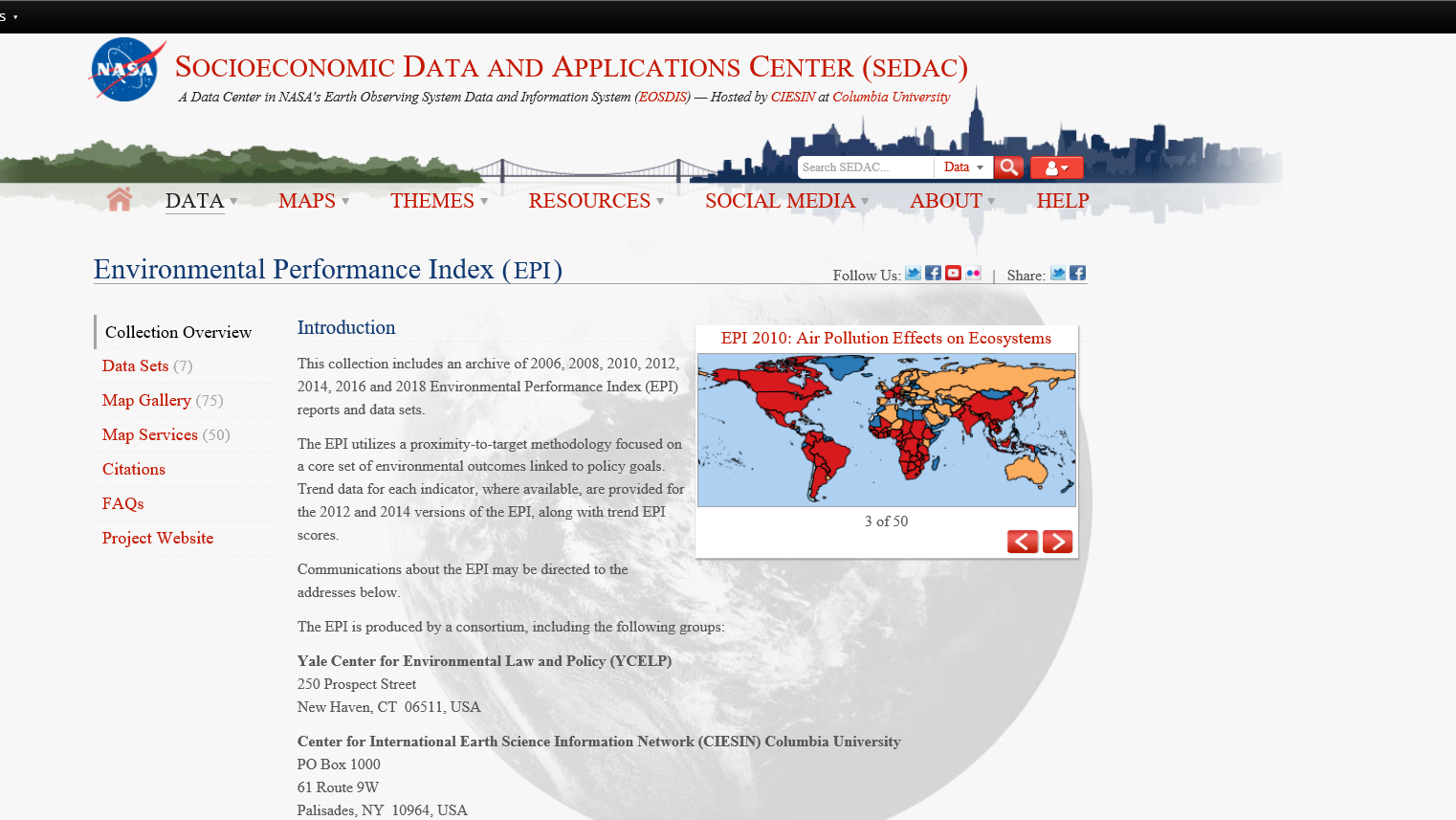
Yale EPI
Save the oceans
NASA: Vital signs of the planet
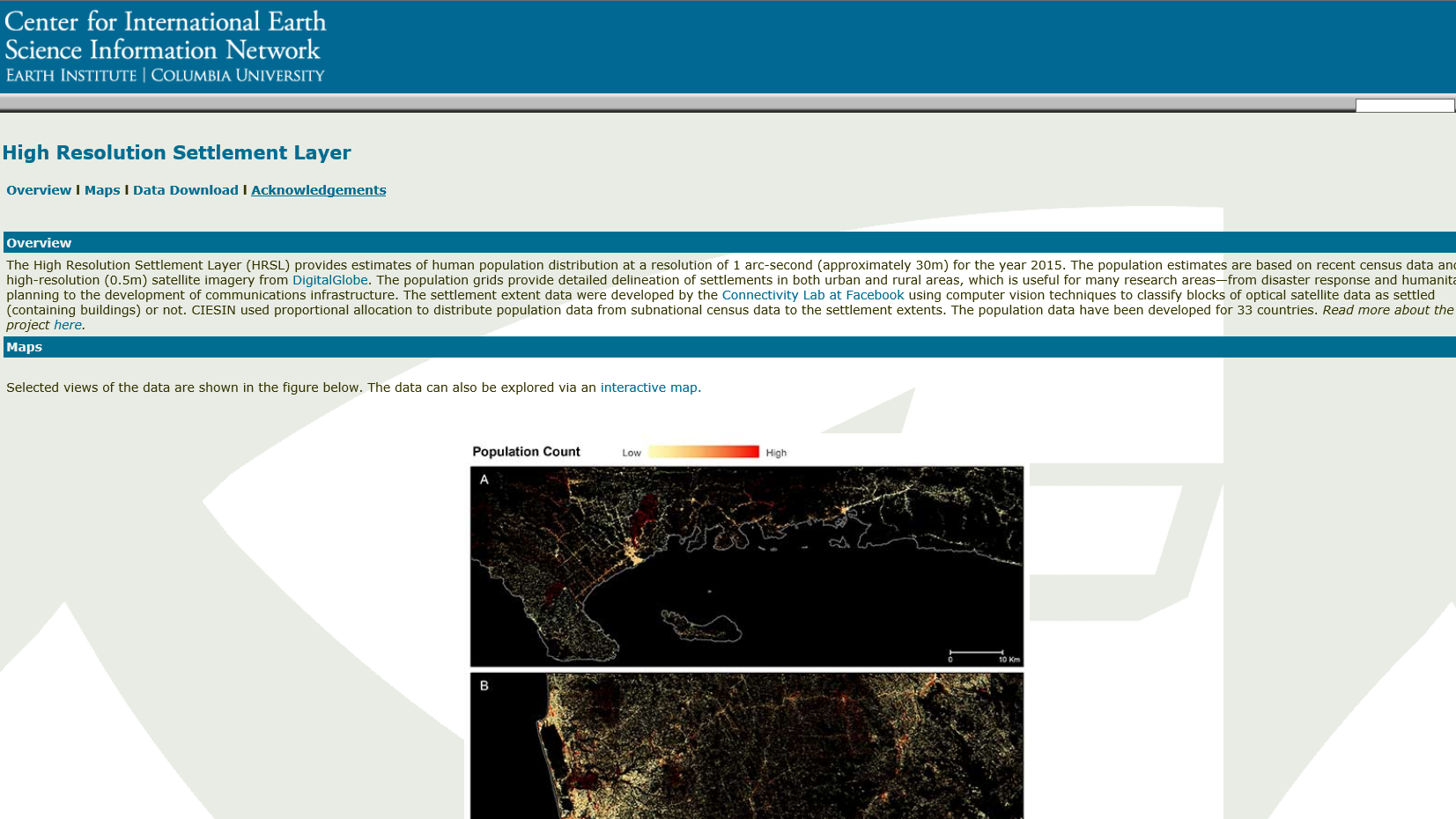
Facebook population maps
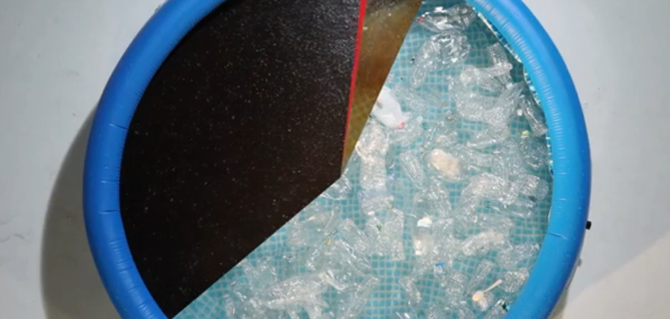
What pollutes the oceans
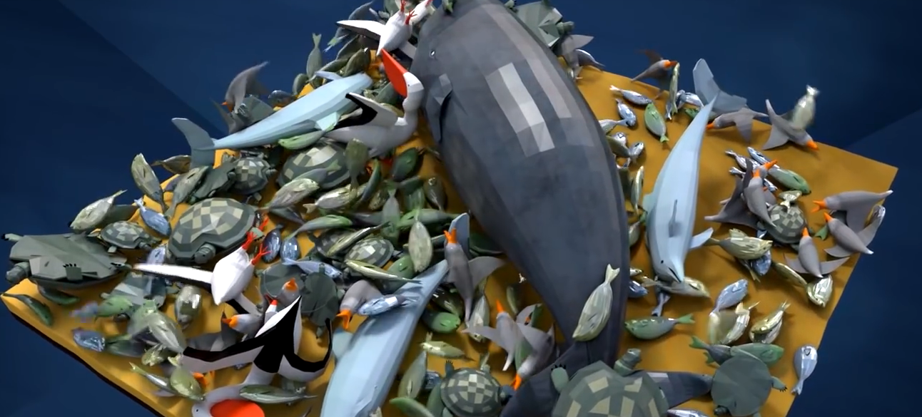
Plastics affects marine species
Air Pollution 101 - National Geographic
WHO: How Pollution Affects Health
The Blue Map
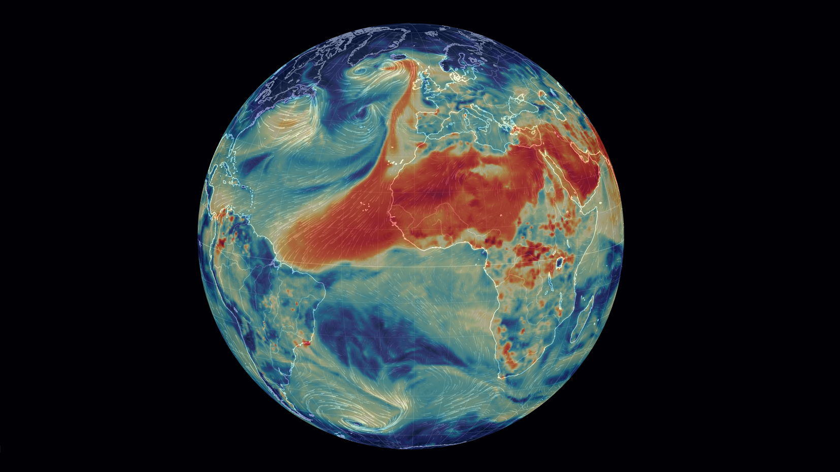
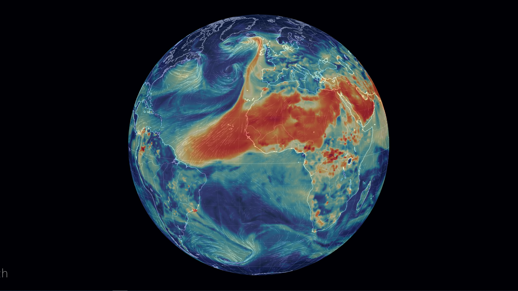
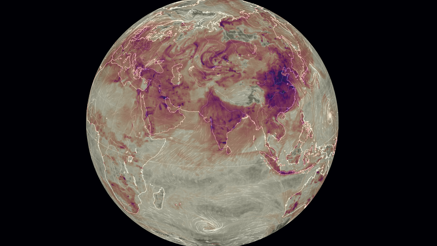
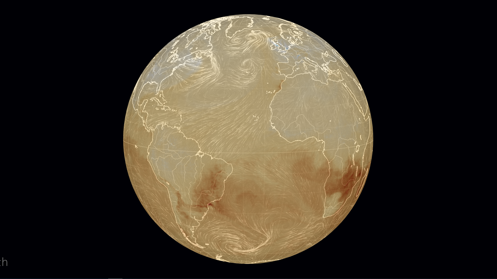
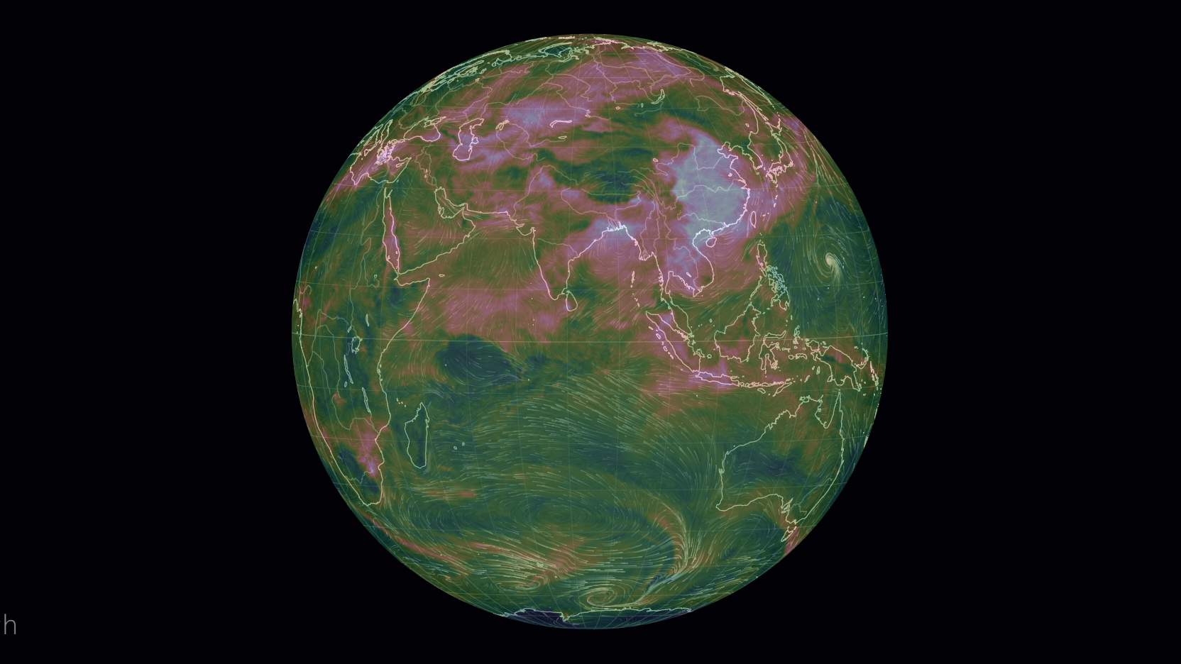
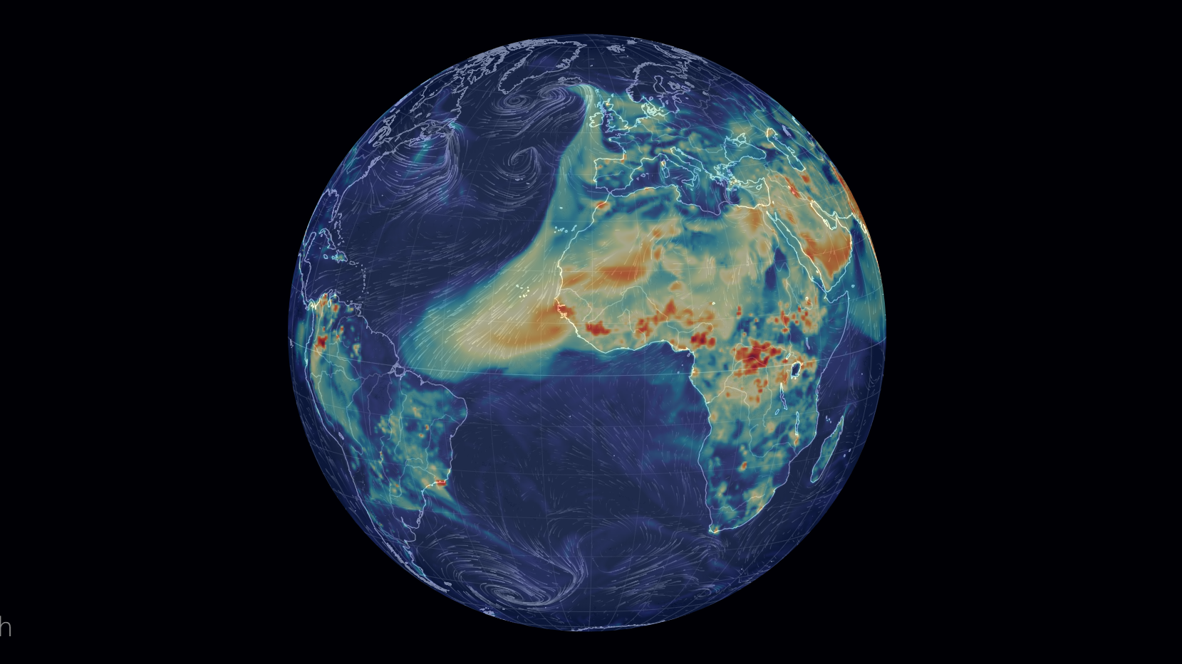
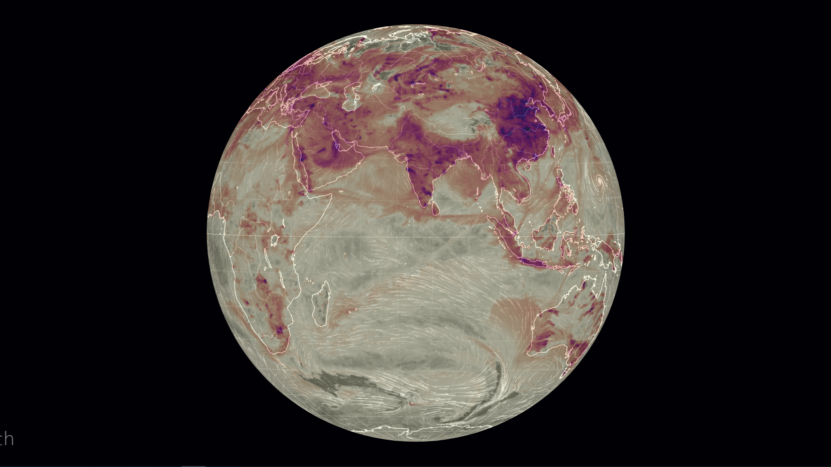
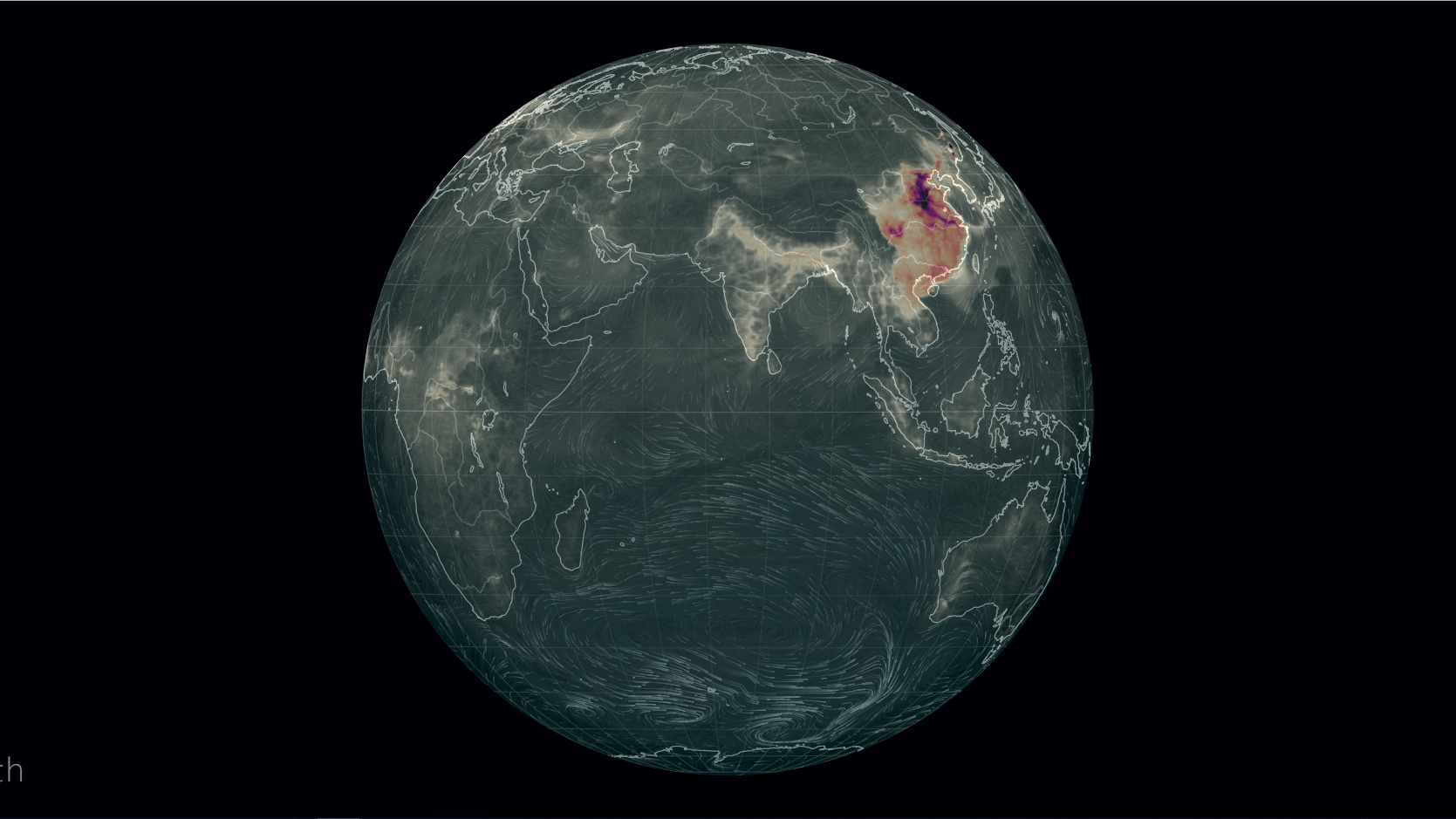
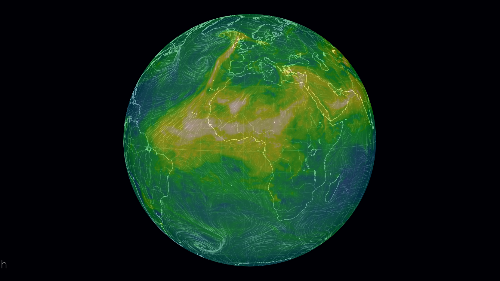
Earth Wind Map: Winds and Chemicals Map
Environmental Performance Index
UNEP - Our impact on the planet
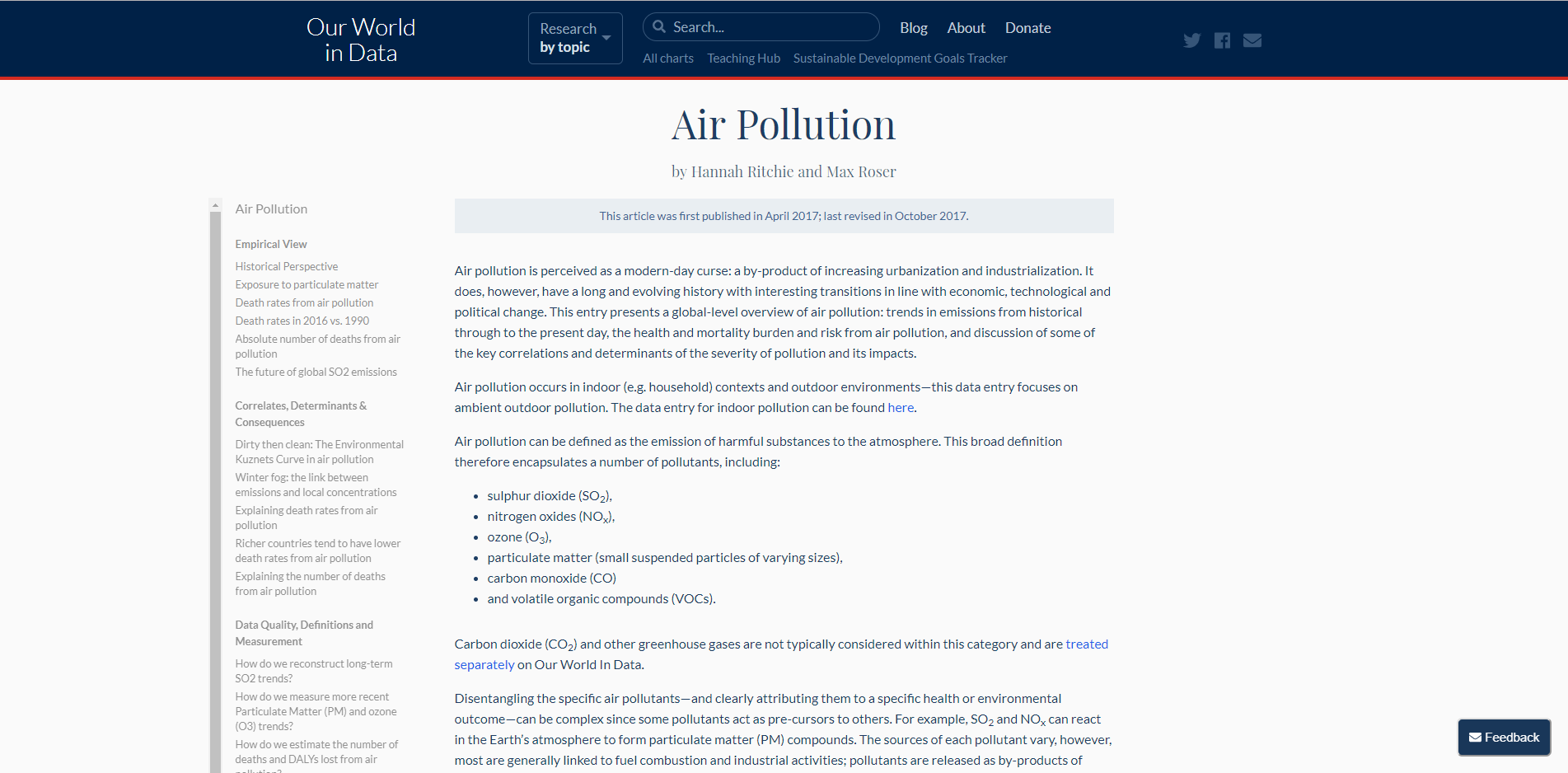
Our World In Data: Environmental research articles
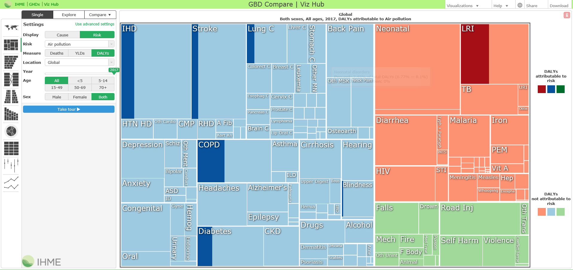
Global Burden of Disease
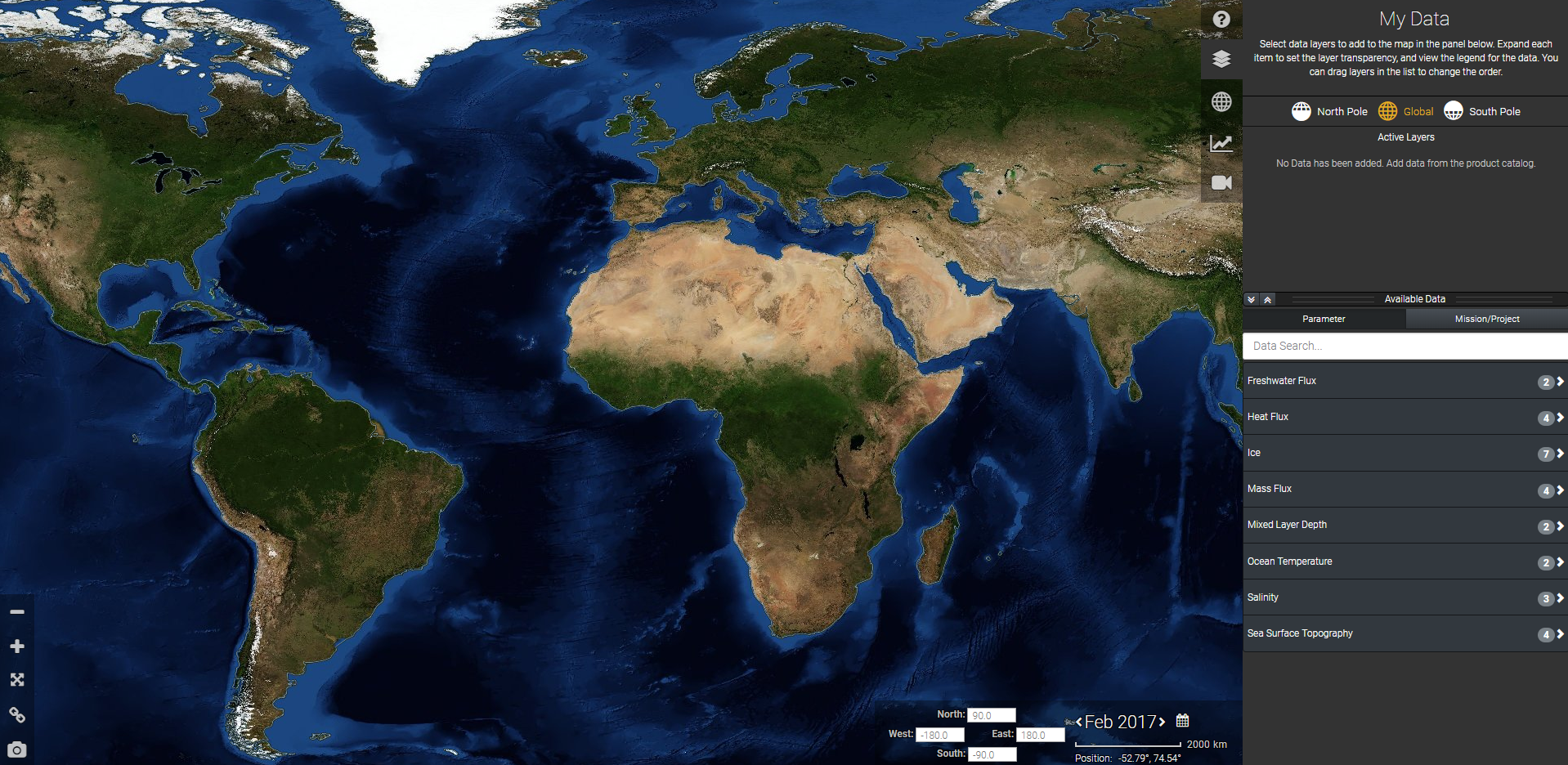
GEOSS: Earth observation data
UN Stats
UNESCO-IHP IIWQ World Water Quality Portal
Global map of CO2
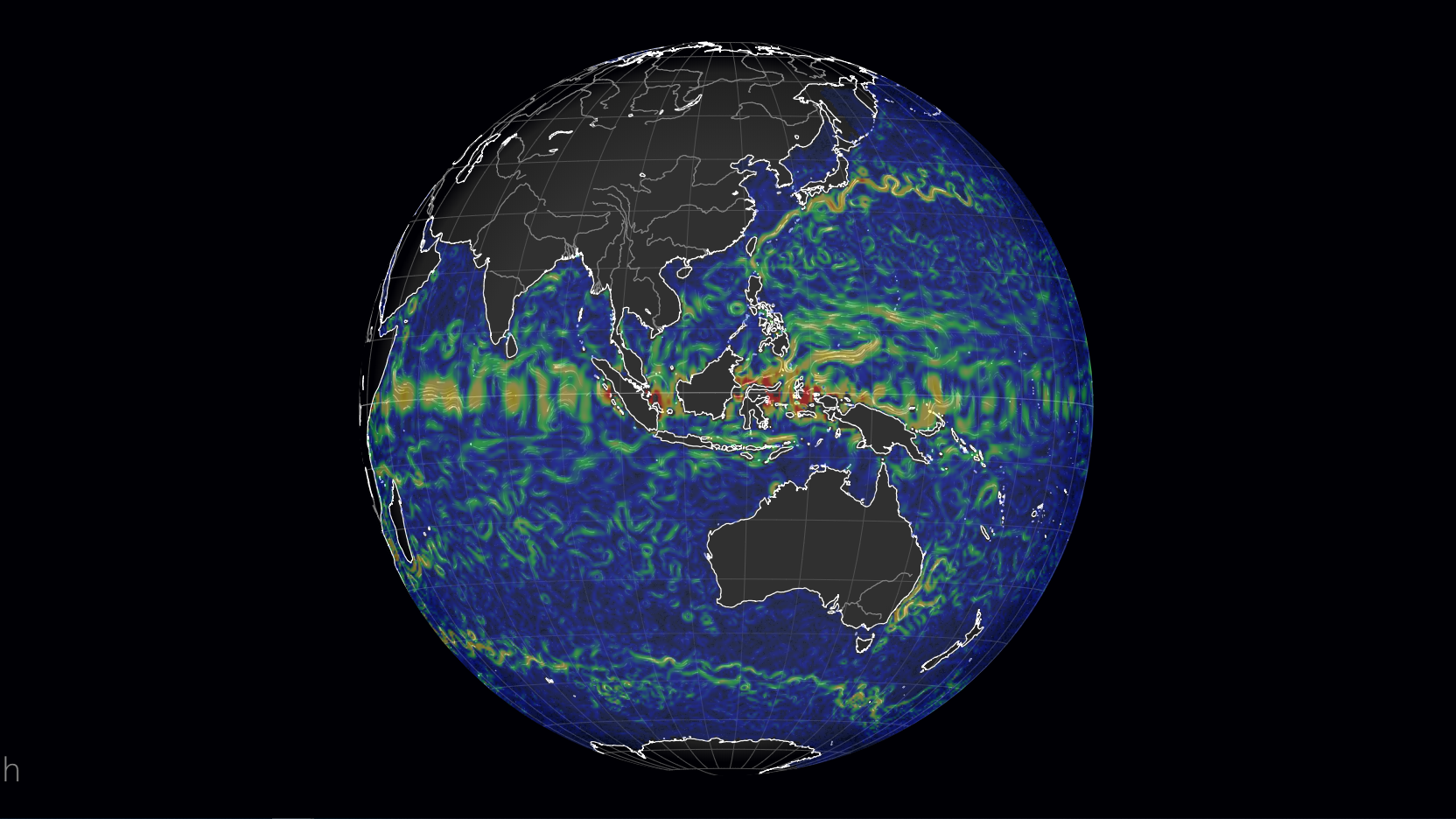
Global map of Currents
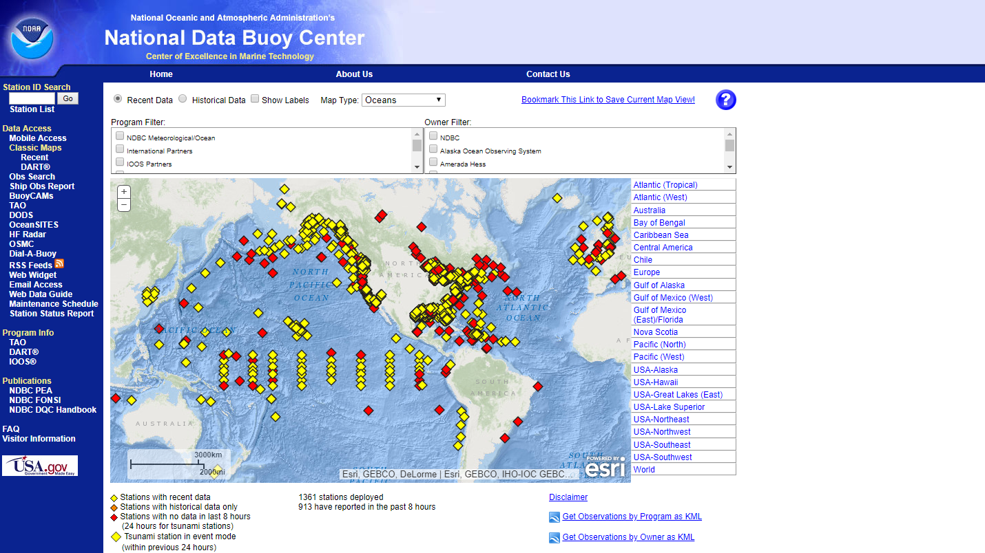
NOAA - National Data Buoy Center
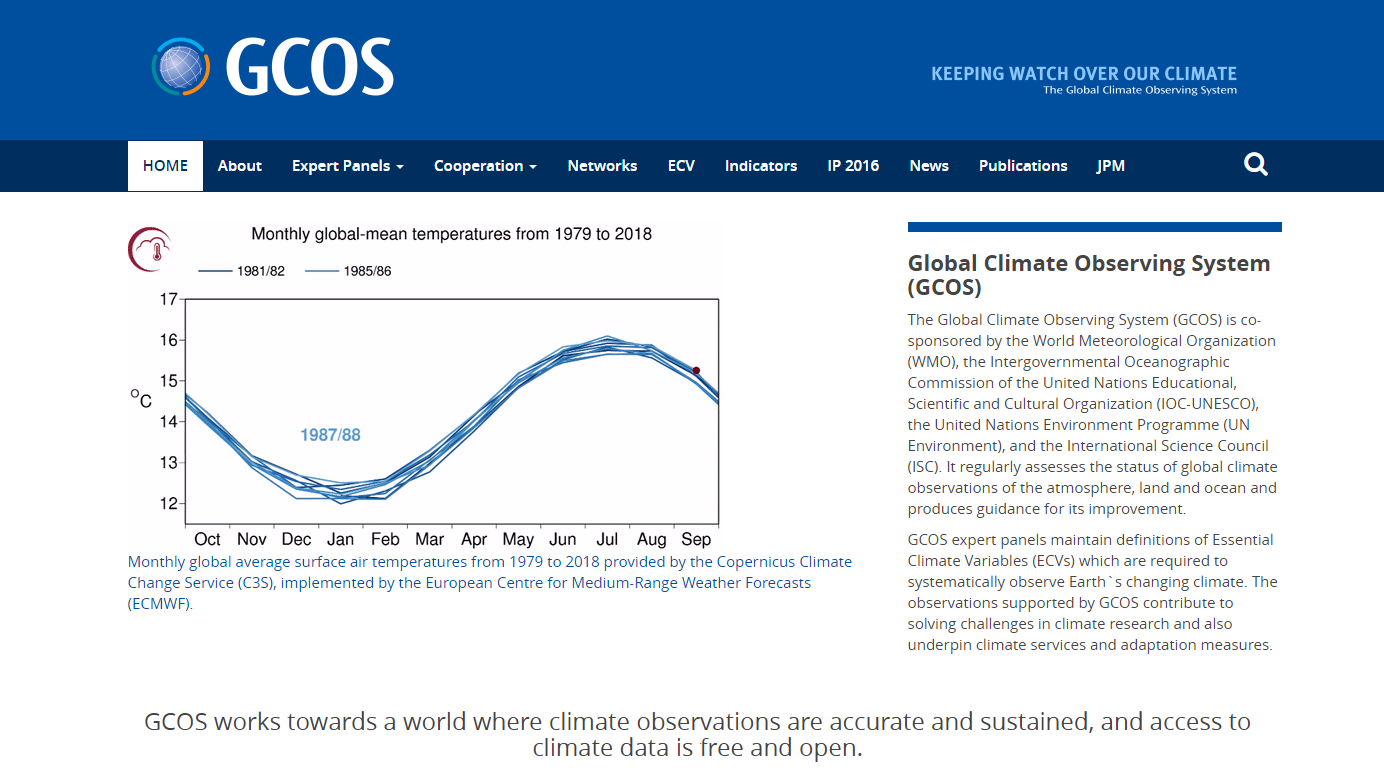
Global Climate Observing System (GCOS)
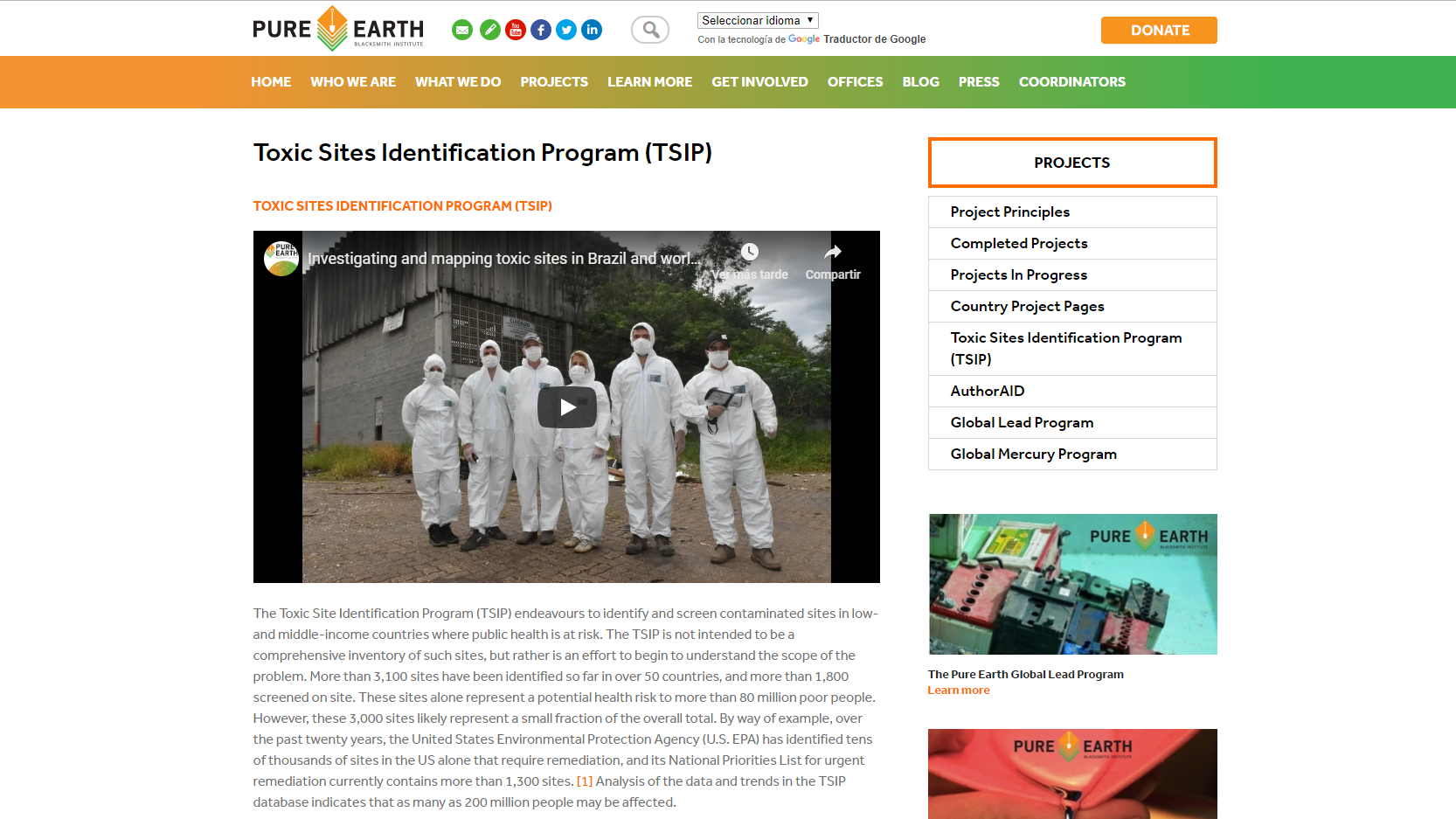
Toxic Sites Identification Program (TSIP)
UNEP: Data and statistics
Sea Level Change Portal
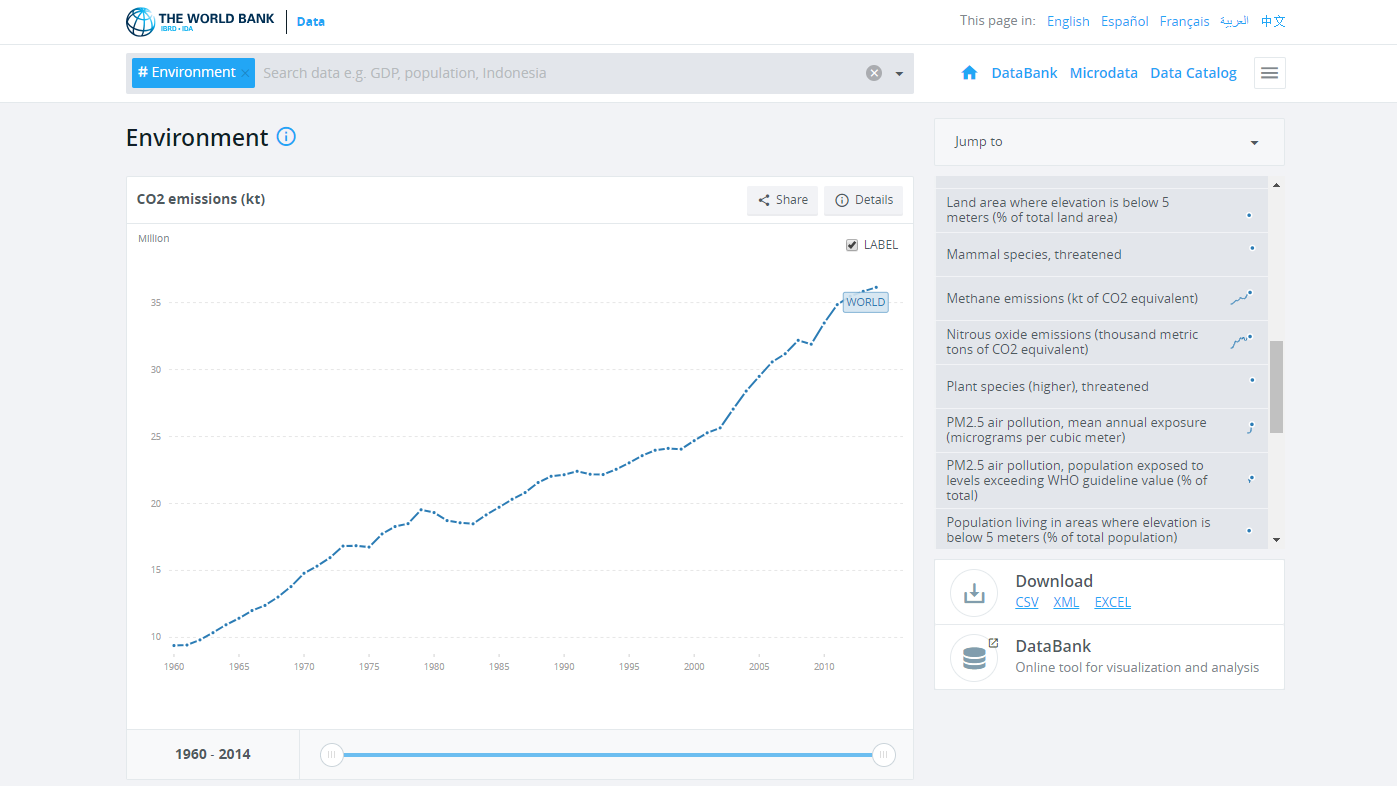
World Bank: Environmental data
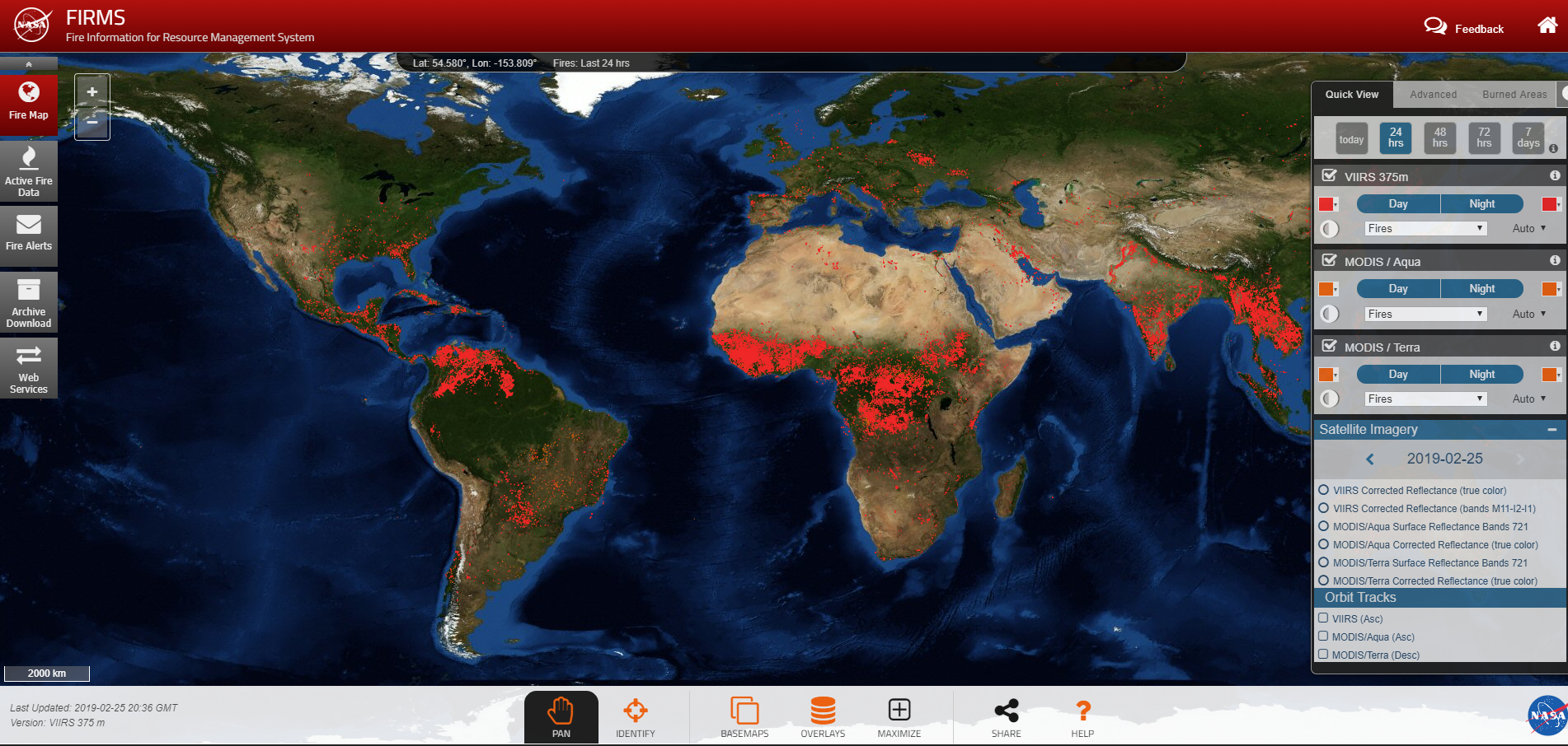
Map of fires
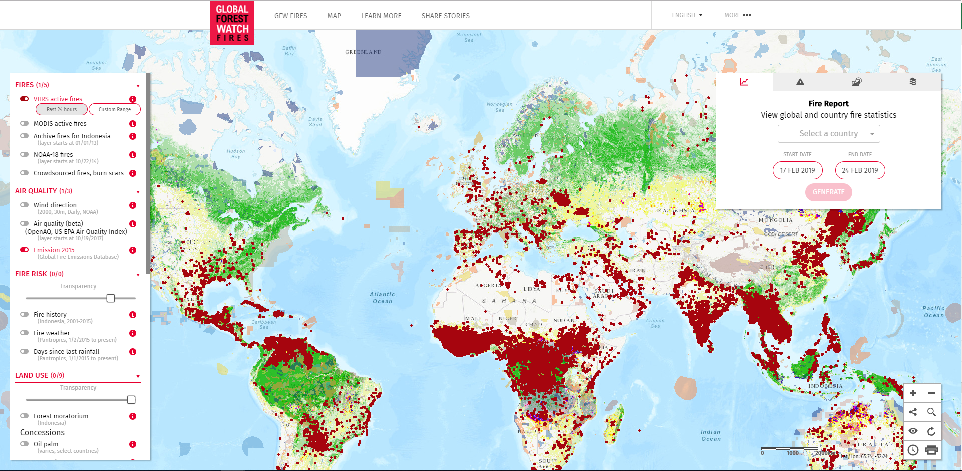
Global Forest Watch Fires
Global map of Sulfates
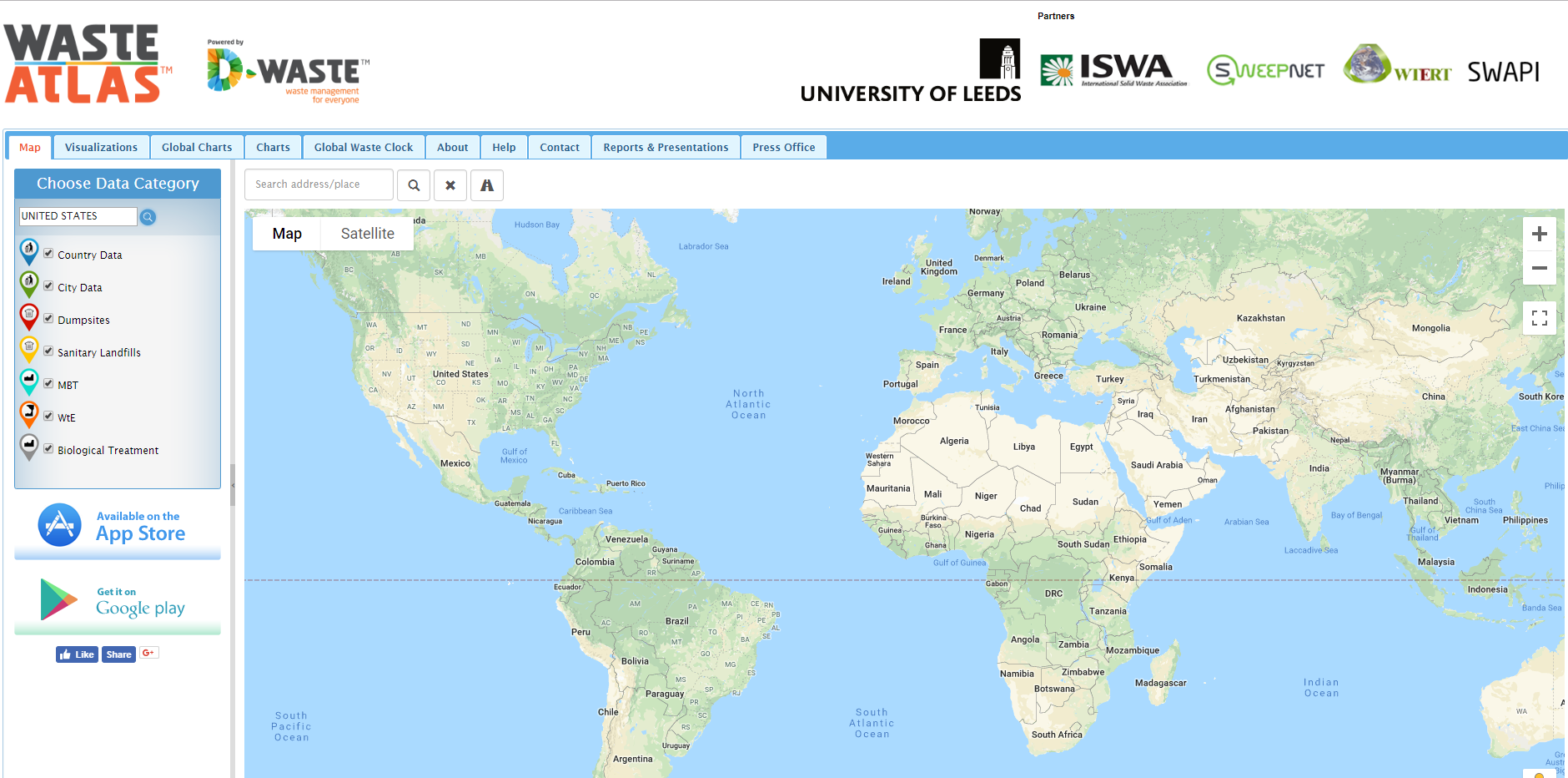
Waste Atlas
Global map of PM1.0
Global map of SO2
Global map of CO
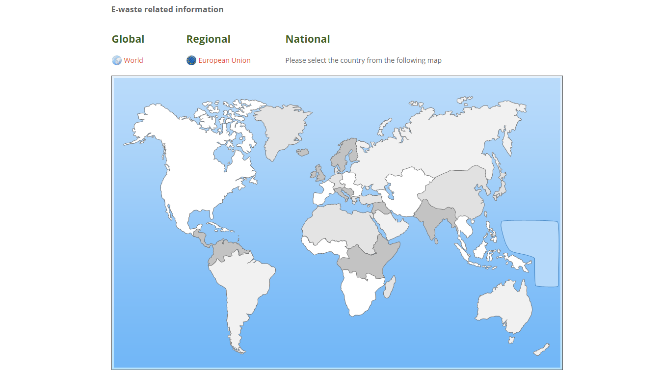
E-waste world map
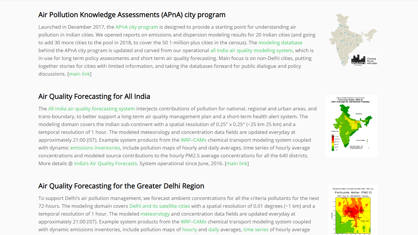
Urban Emissions in India
Global map of Dust