×
Putumayo - Içá Basin Data Portal
All
Water
Environment
Climate
Disasters
Social
Economic
Open Street Map Data
Land-Water Changes
Google Earth Data
JRC Urban Explorer
Climate Change
EarthExplorer
GEOGLAM RAPP
MODIS Flood Explorer
Climate Engine
Wind Potential
Wayback Hi-Res Imagery
Earth Wind Map
GEOGLOWS Global Streamflow Estimator
Drought Exposure
Flood Frequency
Watershed Tool
Flood Exposure
Erosion Risk
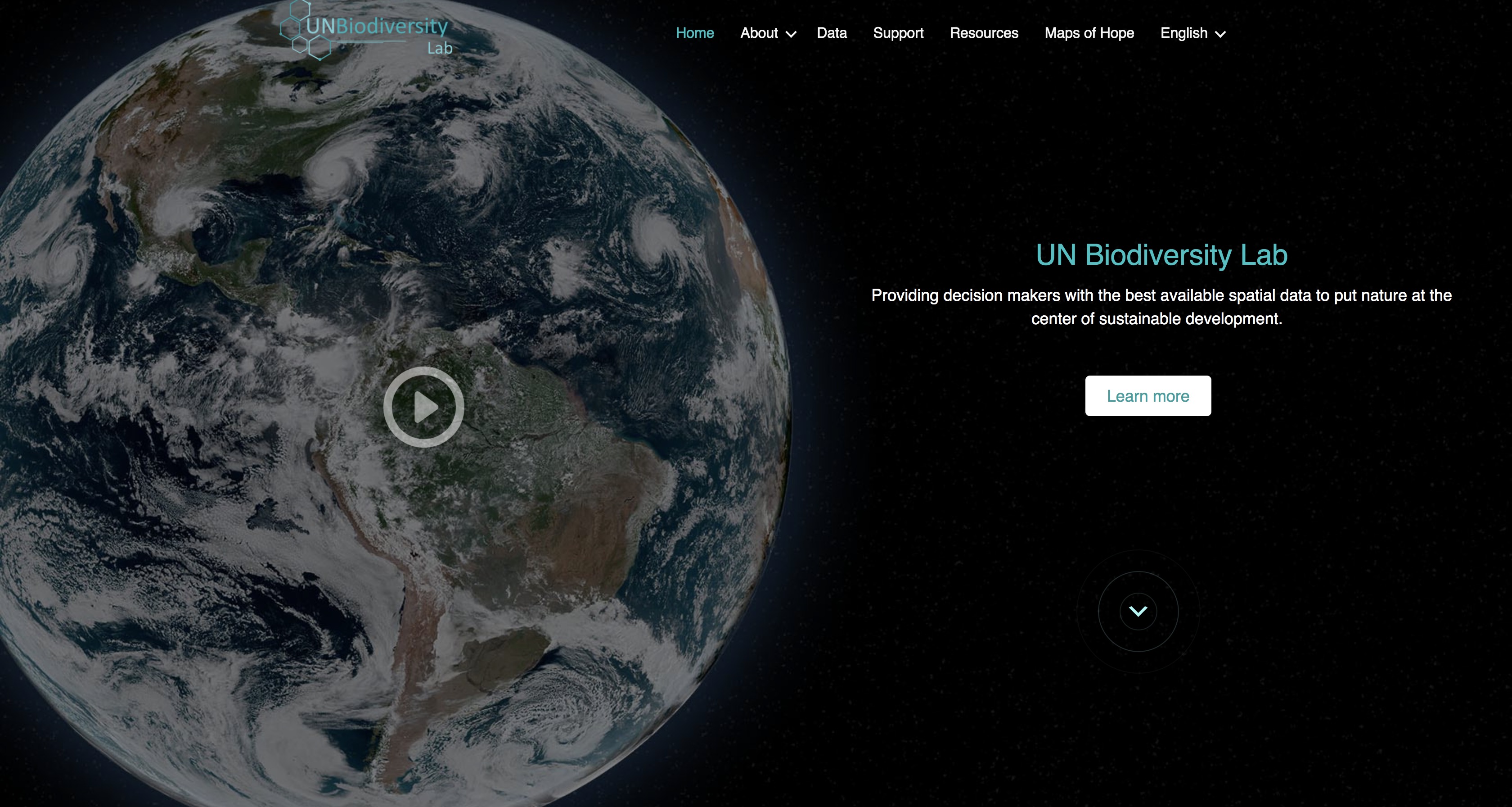
UN Biodiversity Lab
Standardized Precipitation Index
Solar Energy Data
Water Stress (Aqueduct)
Protected Areas
Pop Grid
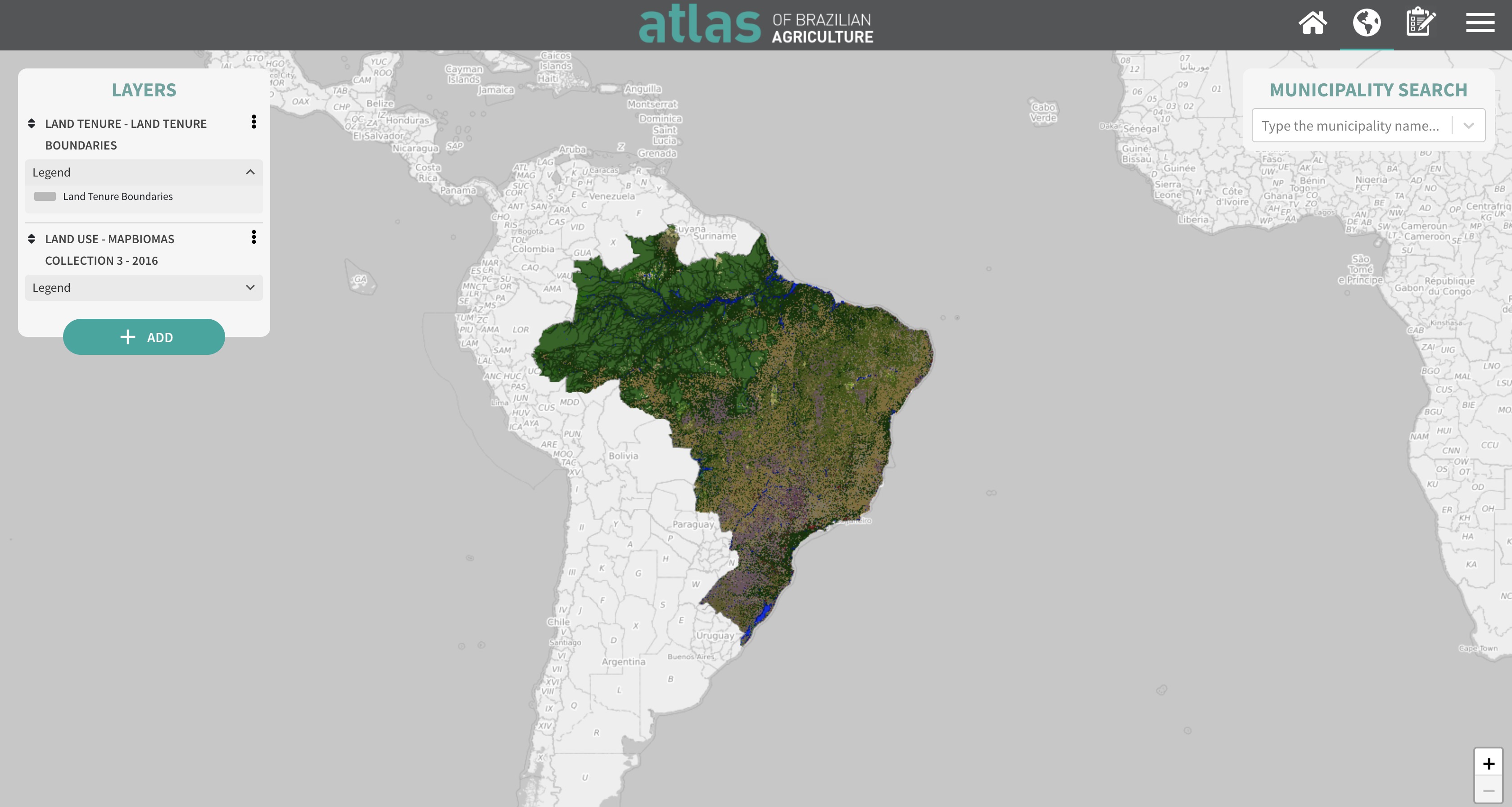
Atlas of Brazilian Agriculture
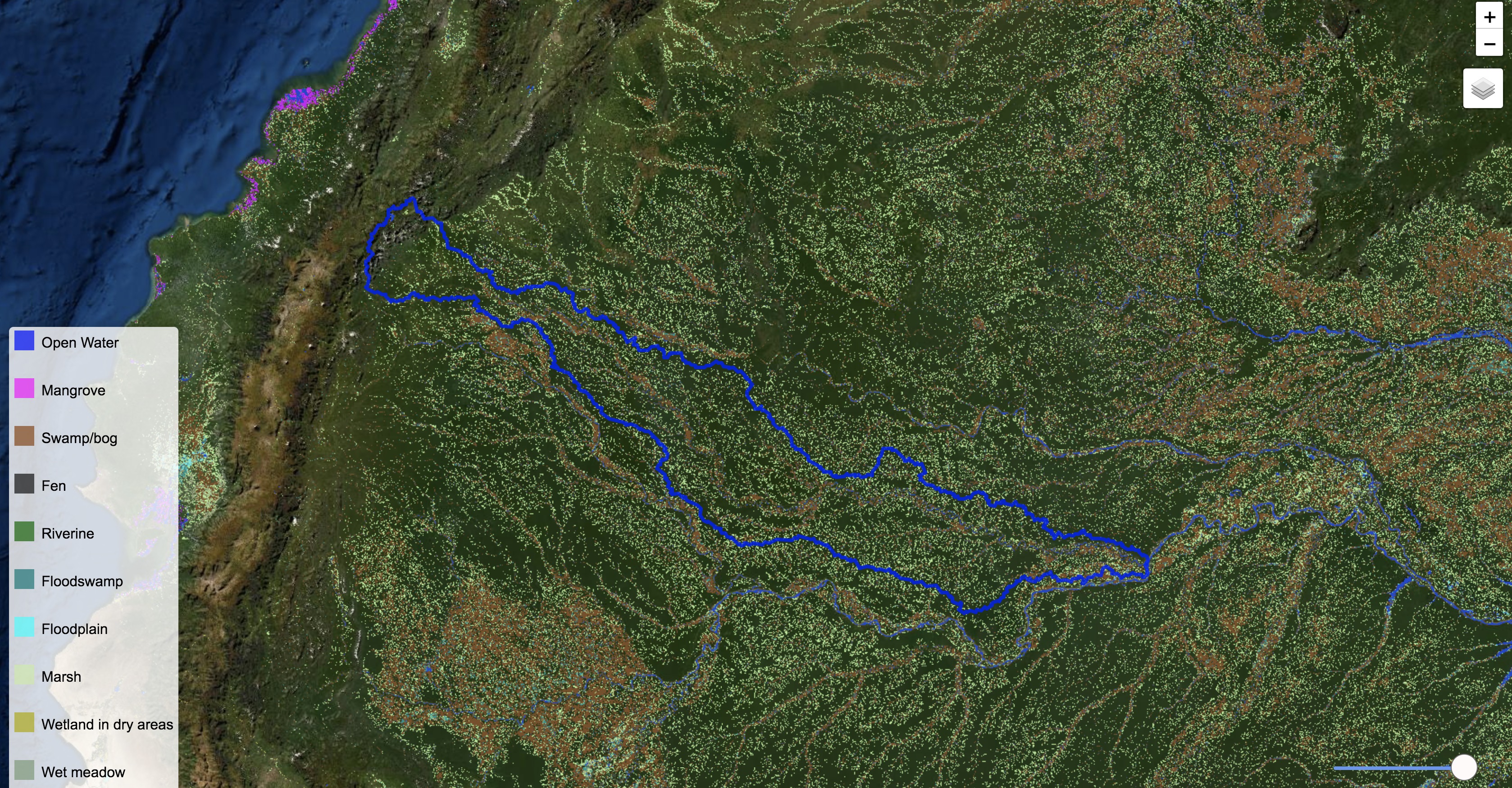
Global Wetlands
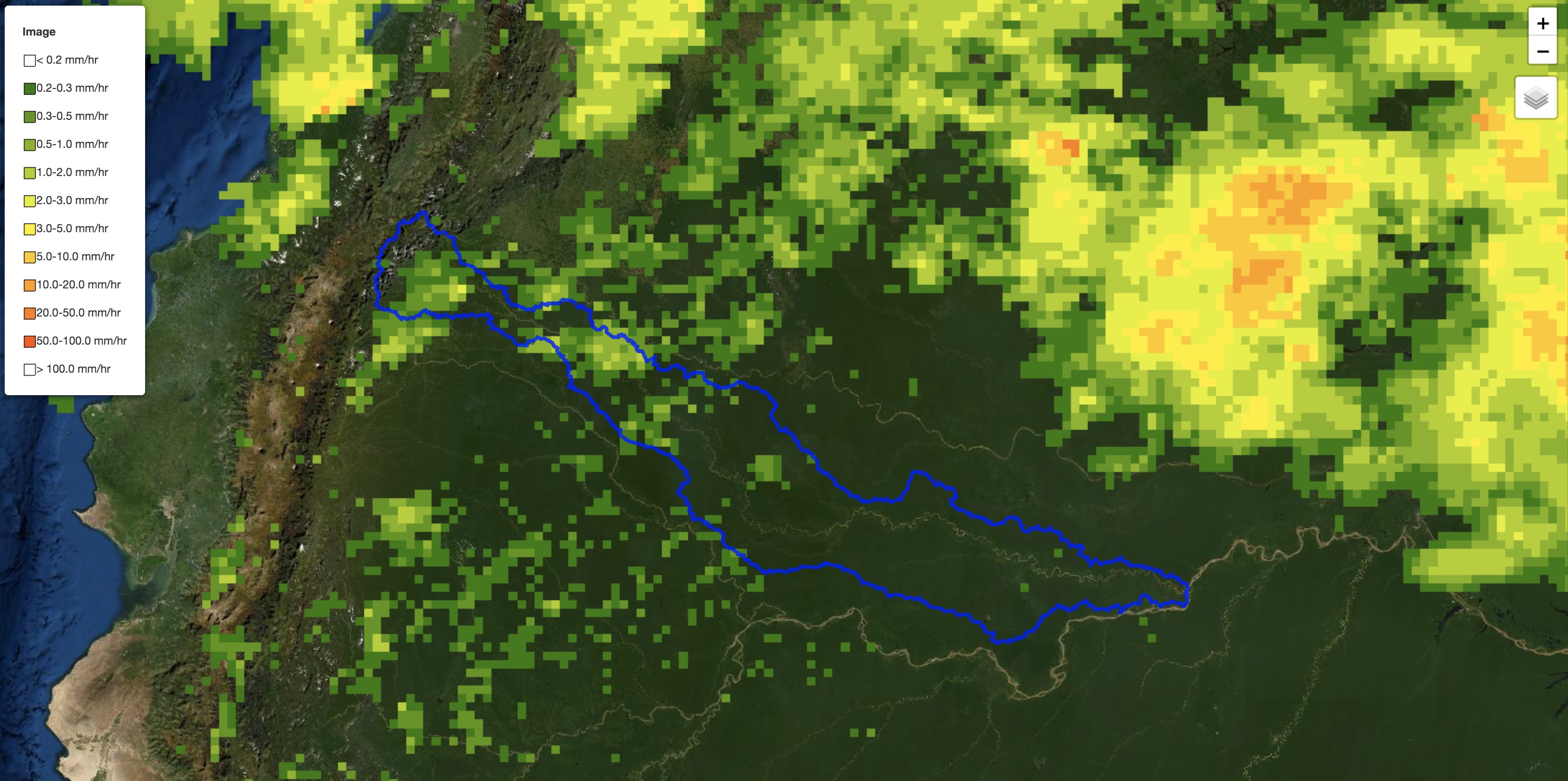
Satellite Precipitation (NASA GPM)
Power Plants
Fire Data
Air Quality
ESRI Water Balance
GADAS (Agriculture)
NASA Disasters Portal
GRACE Groundwater
Climate Stations
Motion Charts (Development Data)
GEOSS Portal
Soil Moisture
GFMS
World Bank Projects
Annual Precipitation
Projected Change in Water Stress
Drought Risk
GRDC Stations
Water Security Dashboard
Google Earth Engine Datasets
Total Precipitable Water
Precipitation (3 hour)
NASA WorldView
GRACE Groundwater Portal
Seasonal Climate Forecasts
GDACS Tool
Crop Nutrient Balance
Groundwater Climate Vulnebility
Open Data Cube
Toxic Sites
Servir Tethys Apps
Forest Cover Change
Hydropower Plants
IWMI Water Data Portal
Landsat Archive
Flood Observatory
Earth Engine Water Watch
Vegetation Condition Index (NDVI anomalies)
GEOGloWS Streamflow Hydroviewer
Global Reservoirs and Lakes Monitor
Weather Forecast
Earth Observation Browser
MapX
EarthMap
GEMStat
WAQI: Real-time Air Quality Index
Environment Live: Pollution Data and Information
OpenAQ: Air quality data
Global map of PM2.5
NASA: Vital signs of the planet
Global Forest Change
MoveBank
CHRS RainSphere
GLADD-R (Reservoir Dynamics)

")
 of the country")


 updadted every 30 mins.")


.")


 from January 1, 1960, to December 31, 1990.")


 - GDP/Capita (FAO) - WB Region - GDP (World Bank)")

")
")


 ranks the severity of the site using a logarithmic scale. The higher the rank, the more severe.")


 provides access to a large amount of data related to water and agriculture.")


, sulfur dioxide (SO2), nitrogen dioxide (NO2), carbon monoxide (CO), and black carbon (BC) data.")


.")