Seascape Management – At a Glance
-
Although vegetated habitats cover less than 0.5% of the seabed, they could be responsible for 50-70% of all Carbon storage in ocean sediments.
-
About 17% of marine areas were protected in 2019.
-
Mangroves are estimated to provide at least US$1.6 billion in ecosystem services annually. About 30-50% of mangroves have been lost globally in the last half century.
-
About 340,000-980,000 hectares of coastal blue carbon ecosystems are destroyed every year. These areas may only be 2-6% of the total area of tropical forest, but their degradation accounts from 3-19% of global deforestation carbon emissions.
-
There are more than 60 species of seagrass globally, and as many as 10-13 may co-occur in tropical sites.
-
By end of March 2021 , EU Member States (as per a Framework for Maritime Spatial Planning Directive ) are expected to draw up marine spatial plans that identify all human activities in EU waters and the most effective way of managing them using an ecosystem based approach.
Coastal Zone Management
To begin on managing coastlines, there have been treatises written even about what seem like simple questions – how long is the coastline of Country X? The question is not as simple as it seems as it is all a matter of what scale you are visualizing this coastline – and the answer could stretch to infinity. In fact, Mandelbrot mused about this in a 1967 paper on How Long is the Coast of Britain? with a concept that he later termed fractals in 1975.
Many technologies have been deployed to gain more insights into coastal zones and how they can be managed.
Use of Earth Observation
Earth observation with in-situ surveys have been used to better understand and monitor many coastal zone assets such as Corals , mangroves , and other aspects of ocean wealth.
Scientists track sea surface temperature (SST) or SST changes since it affects weather, sea-level rise, and phytoplankton growth. The ocean covers more than 70 percent of the globe, and there is no way to measure the data without remote sensing. Remote sensing can only measure the top mm of the ocean's surface, so it is combined SST data from the buoy. Increasing SST by 2-3° C is an area of the Pacific Ocean that causes El Nino, affecting global rainfall patterns. Rising ocean temperatures increase the intensity of tropical cyclones (hurricanes and typhoons), and a factor of sea-level rise is from the thermal expansion of water. Lastly, phytoplankton growth, the basis for the ocean food web, is correlated with SST.
Scientists measure chlorophyll concentration since they provide information on plant abundance within a given area. Phytoplankton is a microscopic plant containing the pigment chlorophyll, which is used to convert sunlight into energy that the plant can use. Satellites detect chlorophyll concentrations since it reflects green and infrared light but absorb most spectrum of light. Phytoplankton abundance leads to blooms that occur every spring in the North Atlantic. However, it could also create harmful algal bloom or billions of phytoplankton die, and decaying over a few days will create oxygen dead zones that will kill fish and marine organisms.
Satellite-Derived Bathymetry is estimating underwater depths with the use of optical remote sensing. This method is used when ships cannot operate safely close to shore.
An alternative method to map seafloor bathymetry is to measure changes in gravity anomaly by measuring sea surface height accurately. Mountain and seafloor pull water toward their center of the mass that will create a little measurable bump on the surface, while a trench will create a dip.
Applications for Water Body Dynamics using Cloud Analytics also help us see how water bodies around the world wax and wane over time in response to inflows, outflows, use, and management (in the case of reservoirs or other regulated water bodies). Zoom into any part of the world and click on a water body to explore how its area has changed since 1985.
Group on Earth Observation (GEO) AquaWatch is a community of water quality practices that focus on improving and providing global access to water quality products by combining remote sensing data and in situ data. Their goal is to build global capacity and provide relevant and cost-effective water quality products derived from Earth Observations that can support effective monitoring, management, and decision making.
Radar altimetry satellites first launched in 1973 with the GEOS 3 and continues coverage beginning 1991 work on the basic principles of measuring the round-trip time of the radar pulse from the satellite to the sea surface (target). Currently, seven satellites are in orbit that could be applied to measuring sea ice, reservoir water elevations, climate application, and weather forecasting by having information on wind and wave height by having information on signal amplitude and waveform, etc.
Harmful Algae Bloom is a rapid growth of either algae or cyanobacteria, which is damaging to people or aquatic ecosystems or the economy by severely restrict the use of drinking and recreational water bodies from toxins odor and mats that they can produce. Since HAB has a severe impact on water quality, satellite remote sensing can be used to identify impaired areas and improve water quality sampling.
Surveys
Bathymetry surveys allows us to map different underwater features of a water body. Multiple ways can be used to conduct bathymetry surveys including multi-beam surveying, single-beam surveying, ADCP (Acoustic Doppler Current Profiler), through use of autonomous underwater vehicles, or airborne drones. Some of the examples are discussed below.
CEE HydroSystems is using drone boats to survey mine water reservoirs, helping them determine the volume of water and several pH3 heap leach reservoirs.
EcoMapper AUV (autonomous underwater vehicle) collects high-resolution maps of water quality and bathymetry. Key applications of the AUV include baseline monitoring, source water mapping, event response, bottom mapping and point-source as well as non-point source mapping.
UGCS airborne bathymetry survey uses a UAV drone equipped with echo sounder to provide acquire bathymetry data of coastal and inland water, enabling data collection even in hard-to-reach areas.
Marine Spatial Planning
UNESCO defines “ Marine Spatial Planning (MSP) as a process to analyze and allocate parts of 3-D marine spaces (or ecosystems) to specific uses or objectives, to achieve ecological, economic, and social objectives that are usually specified through a political process”. Various innovative ways are being adopted today for MSP, one of such examples is discussed below.
Symphony, a planning tool is using an ecosystem approach to understand and illustrate how pressures from human activities are affecting ecological values. This scientific system is in use since 2017 in the Swedish national marine spatial planning and can be easily transferrable to other countries.
Littoral Drift
Shorelines are under constant change as sediment is moved in response to wind, waves, currents, structures. This is called littoral drift or longshore drift and can have many impacts on communities as land is eroded or accreted at the coast, a process now further compounded by human activity and sea level rise. Some of these even cause transboundary concerns as actions in the coast of one country (e.g. a new port) could cause erosion in another country’s coast. This is why new regional initiatives (e.g. West Africa Coastal Areas or WACA Management Program ) are being undertaken to capture these common regional dimensions. Many complex models are often used to explore various scenarios to determine an appropriate course of action.
Coastal Disaster Management (Coastal Storms, Tsunamis, Coastal Floods)
Factors such as climate change, natural environment changes or geological movement pose a great threat to coastal areas and expose them to risk of property damage, loss of life environmental degradation. Many initiatives are being undertaken today to build coastal climate resilience, some of which are discussed below.
Jupiter Intel is using satellite data and sensors to help community planners in Miami and New York in better managing disaster risks. The company uses advanced computer models to predict flood risks down to specific properties as well as anticipate challenges such as sea level rise, erosion.
Virginia based GreenStream flood sensors are helping monitor flooding in real time. These sensors use ultrasound to track water levels in real time. The company’s dashboard to track flood status shows in real-time where flooding is occurring, how deep the water is and when it recedes.
NOAA’s Lake Level Viewer is helping visualize the impact of changing water levels in the U.S. Great Lakes and illustrate the scale of potential flooding at a given water level.
NOAA’s Coastal Flood Exposure Mapper , an online visualization tool is helping communities to assess their coastal hazard risks and vulnerabilities. From hazard zones to critical facilities that are at risk of flooding, the tool helps communicate flood exposure and potential impacts through a collection of user-defined maps.
3D Printed Reefs
To restore coral reef the fragile ecosystem, being destroyed by climate change and human activities and destroying marine life, scientists around the world are using 3D printing to print coral reefs on large scales, the coral carbonate used is similar to the original calcium carbonate, which is what forms the skeleton of original coral reefs. These structures encourage reef growth and help marine life to flourish. The 3D Printed reefs are more resistant to climate change and more durable in the changing chemistry of the ocean.
Drones Planting Mangroves
Biocarbon Engineering, an ecosystem restoration company is using drones to plant 1 million mangroves in Myanmar. The process involves an assessment of assessment of topography and ground quality using a mapping drone. Thereafter, the data is analyzed, and the second swarm of drones are responsible for carrying out planting, dropping the seeds. The company is also working in Australia to rehabilitate and restore mining sites.
Worldview International Foundation in collaboration with UNEP is also supporting the aerial mangrove restoration project using drones in Myanmar.
Also, recently UAE announced to plant mangrove seeds on Abu Dhabi’s coast using drones to rehabilitate areas of mangrove habitats.
Use of nanotechnology to clean wetlands in Peru
El Cascajo, an ecosystem in Chancay district, located north of Lima was cleaned using a micro nanobubbling system in just 15 days. The nanobubbling system consists of 10,000 times smaller than those in a soda beverage and remain in the water between 4-8 hours. These bubbles trap and paralyze viruses and bacteria, destroying them and causing them to evaporate.
Seawater Intrusion
Marine Infrastructure
Coastal defense structures, marinas, and ports create extreme stress on ecosystems causing pollution, degradation of marine habitats and coastal erosion. With the effects of current and predicted climate change impact on coastal zones, countries are exploring ways of regulations to mitigate the environmental damage an Israeli company Econcrete , has developed different types concrete products, using environmentally sensitive technologies, which enhances the biological and ecological value of the coastal and marine infrastructure such as breakwaters, sea defense walls and pier piles, simultaneously increasing the lifespan and stability. The company uses natural processes such as designed bio-habitats, nursing grounds etc., and reduces the carbon footprint of the typical structures by 30-46%, integrating of recycled materials and carbon sequestration that enhances floral activity. The technology has been used in the Israel, United States, Netherlands, Germany, France, the United Kingdom and Hong Kong.
Seaweeds Cultivation
Aquafarms+ is cultivating seaweeds and aquatic plants in Costa Rica by sustainably farming the sea, floodplains, and the lakes, without any use of fertilizers. Being economically and environmentally sound, this also helps clean the water as these plants' uptake nutrients already in the water for their growth, in a comparable manner as terrestrial plants uptake nutrients from the soil, a process called as bioremediation. Plant-based aquatic farming has a positive effect on both the aquatic environment and its biodiversity and is carbon negative. Cultivation of seaweeds and aquatic plants also help in tackling the problem of algal blooms through water oxygenation, contributing to decreased ‘dead’ zones which are the byproduct of massive microalgal blooms.
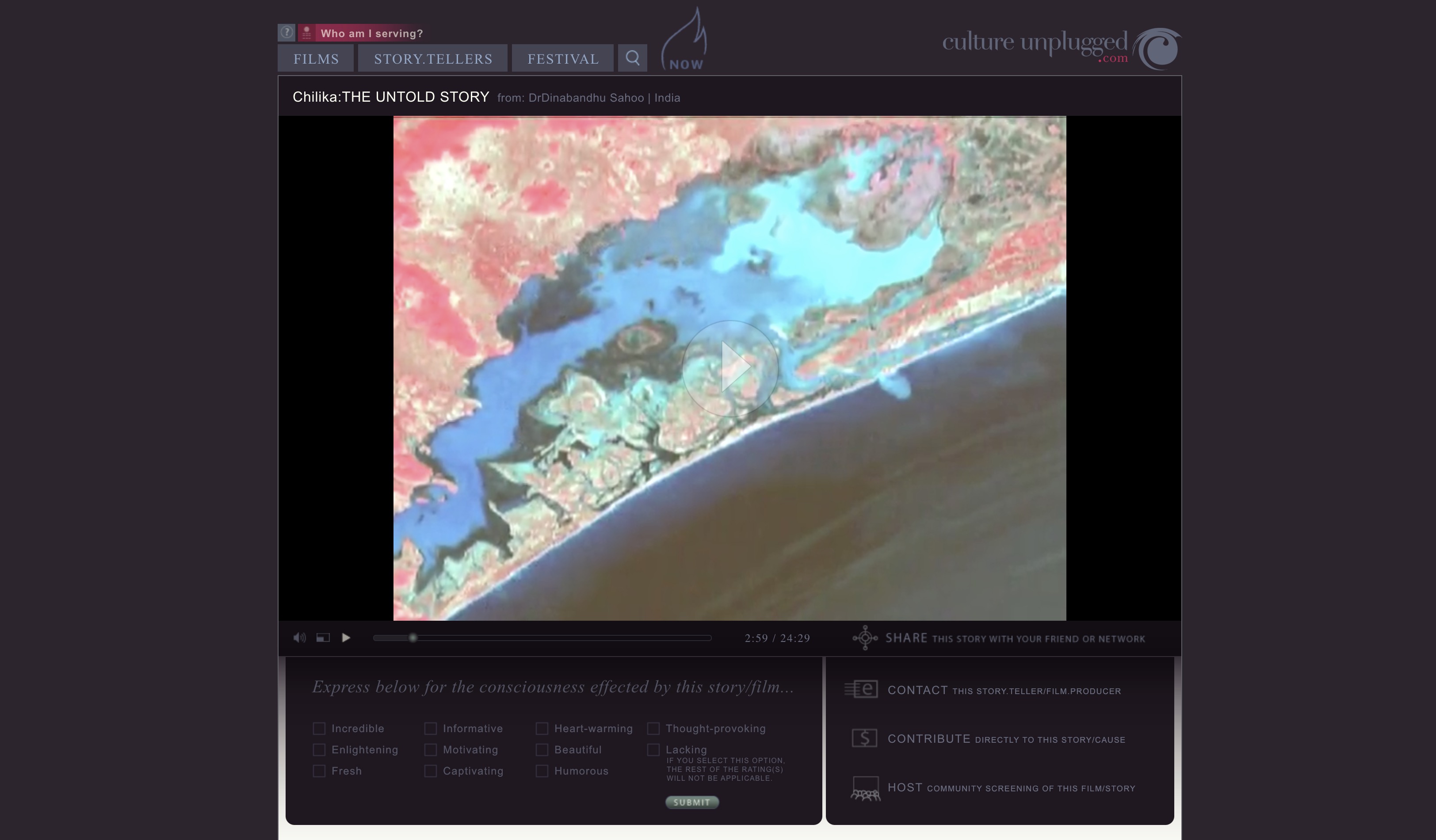
One of another successful examples of seaweed cultivation is the Chilika seaweed cultivation project , in Odisha. The project has financially empowered people around the Chilika lagoon. The cultivation of seaweeds is also environmentally beneficial as it restores the carbon absorption capacity of the water. The project was also used as a base by the Government of India, to develop its first nation-wide project of seaweed cultivation across various coastal areas of India with an aim to provide an alternative source of livelihood for local people.
Climate-Related
Virtual Reality for Sea-Level Rise Scenarios
There are many tools to explore sea-level rise scenarios in your neighborhood (e.g. in the US or globally ). These can become much more interactive using new technologies such as Virtual Reality. Virtual Reality is a computer-generated immersive environment, an artificial scenario that creates an alternative environment making the user feel they are in a different place. This can be very useful for education purposes to show to the public the impacts of climate change. One useful application is to recreate the changes a coastal community could face if they were affected by sea-level rise.
It is broadly accepted that the global mean sea level is likely to rise 20-30 centimeters by 2050 . End of the century projections are even worse. Those incorporating Antarctic ice sheet dynamics reveal estimates ranging from 70-100 cm under representative concentration pathway (a greenhouse gas concentration trajectory adopted by the Intergovernmental Panel on Climate Change) RCP 4.5 and 100-180 cm under RCP 8.5.
Virtual Planet is a company that explores climate impacts through visualization based on hyper realistic models. They have leveraged the capabilities of drones, 3D mapping and virtual reality technology to recreate different coastal and inland hazards and help communities to learn about potential challenges and to adapt to a new climate. They use drones to get photos and specific information about the area that they are going to study. Then they combine that information with local elevation data, flood information and sea level rise projections to make site-specific renderings for what each place should expect to see with rising seas.
Blue Carbon
Often, the mitigation efforts on climate change are focused on terrestrial ecosystems. This is not doing justice to the tremendous potential of “Blue” ecosystems in sequestering Carbon. The “Blue Carbon” sequestration can be enhanced in mangroves, tidal marshes, and seagrass meadows thar are more effective than forests at sequestering Carbon. However, according to the Blue Carbon Initiative , about 340,000 to 980,000 hectares of these ecosystems are destroyed each year (resulting in 0.15 to 1.02 billion tons of CO2 released annually) with two thirds of the global historical mangrove coverage, over half of the tidal marshes and a third of the seagrass meadows have been lost and the trends are not looking good. Just mangroves are estimated to be worth US$ 1.6 billion each year in ecosystem services that support coastal livelihoods and human populations globally.
Floating Buildings
In the Netherlands, there are many innovative floating buildings (including dairy farms!) that are being developed.
Source: Netherlands, ASCE
Buoyant Foundation is helping build flood resilient homes in Vietnam by adopting an amphibious architecture. Their sustainable flood mitigation strategy allows houses to float on top of water when the flood comes rather than succumb to inundation.
Building Capacity
Chesapeake Bay Watershed Restoration
Often, the management of coastal areas depends on the effective management of the upstream catchments that discharge into these coastal areas. The Chesapeake Bay was the first estuary in the US targeted by Congress for restoration and protection in the late 1970s. It is an informative example of how a 64,000 square mile watershed required work of many different stakeholders to restore this national resource.
They developed a Chesapeake Bay Watershed Agreement based on a simple 1-page pledge in 1983. The Chesapeake Bay Foundation founded in 1967 is the largest independent conservation organization dedicated to saving the Bay, and they use geospatial and other technologies in this effort. Many other organizations, including the private sector , are exploring technologies that could help in this regard.
The technology-related work needs to go hand in hand with active stakeholder participation to achieve a vision for restoration both at an overall level and at smaller spatial levels. For example, parts of the Chesapeake bay watershed such as the Anacostia watershed also have active community-based groups such as the Anacostia Watershed Society that have helped dramatically improve the water quality of the Anacostia river that flows through DC by improving stakeholder awareness and facilitating active collective action.
Open Source Systems
There are many systems that are being created to improve the use of modern sensors, data, and analytics with the support of APIs in order to develop more collaborative systems, many in the public domain, including open-source hardware and DIY (Do it Yourself) approaches. Open-source and low-cost small Unmanned Surface Vehicles (USVs) have been proposed. Oceanographyforeveryone seeks to facilitate development of low-cost, open source oceanographic hardware for researchers, educators, and citizen scientists. The Ocean Monitoring Network Initiative (OMNI) seeks to build a low-cost and open-source platform to gather and analyze critical data from the sea. The Ocean Health Index (OHI) initiated by Conservation International is an example of such an open data science approach . There are many benefits and challenges involved with moving data processing and storage to the cloud .
One of the key observations we can make is that many of these clean, green, and blue environmental issues seem intertwined, requiring us to think of more integrated approaches, which is the focus of the final GreenTech chapter.