Putumayo - Içá Basin Data Portal
This Interactive Data portal is a collaborative initiative promoted by the GEF-funded Amazon Sustainable Landscapes Program to provide institutions, donors, implementing agencies, partners, CSOs, and academia with a one-stop-shop for geospatial data and datasets that provide information available for the Putumayo- Içá basin. The portal categorizes themes as: Economic, Environment, Climate, Water, Land, Natural Disasters, and others, to allow users to easily navigate, access and visualize a plethora of online tools available.
Provide suggestions, feedback, and improvements (including suggestions on further maps to be included) by emailing at asl-info@worldbank.org .
The Putumayo-Içá River is the 10th longest tributary of the Amazon River providing globally significant biodiversity and ecosystem services. The Putumayo-Içá River covers 118,000 km2 along approximately 2,000 km and accounts for approximately 1.7 percent of the Amazon basin. The Putumayo-Içá drainage includes the Andean countries of Colombia, Ecuador, Peru, and downstream, Brazil, where it discharges into the Amazon River (Solimões in Brazil). The Putumayo-Içá serves as a corridor connecting key ecosystems from its headwaters in the Andes Mountains and flowing into an intricate web of rivers, lakes, and flooded forests in the lower plains as it flows into the Amazon River.
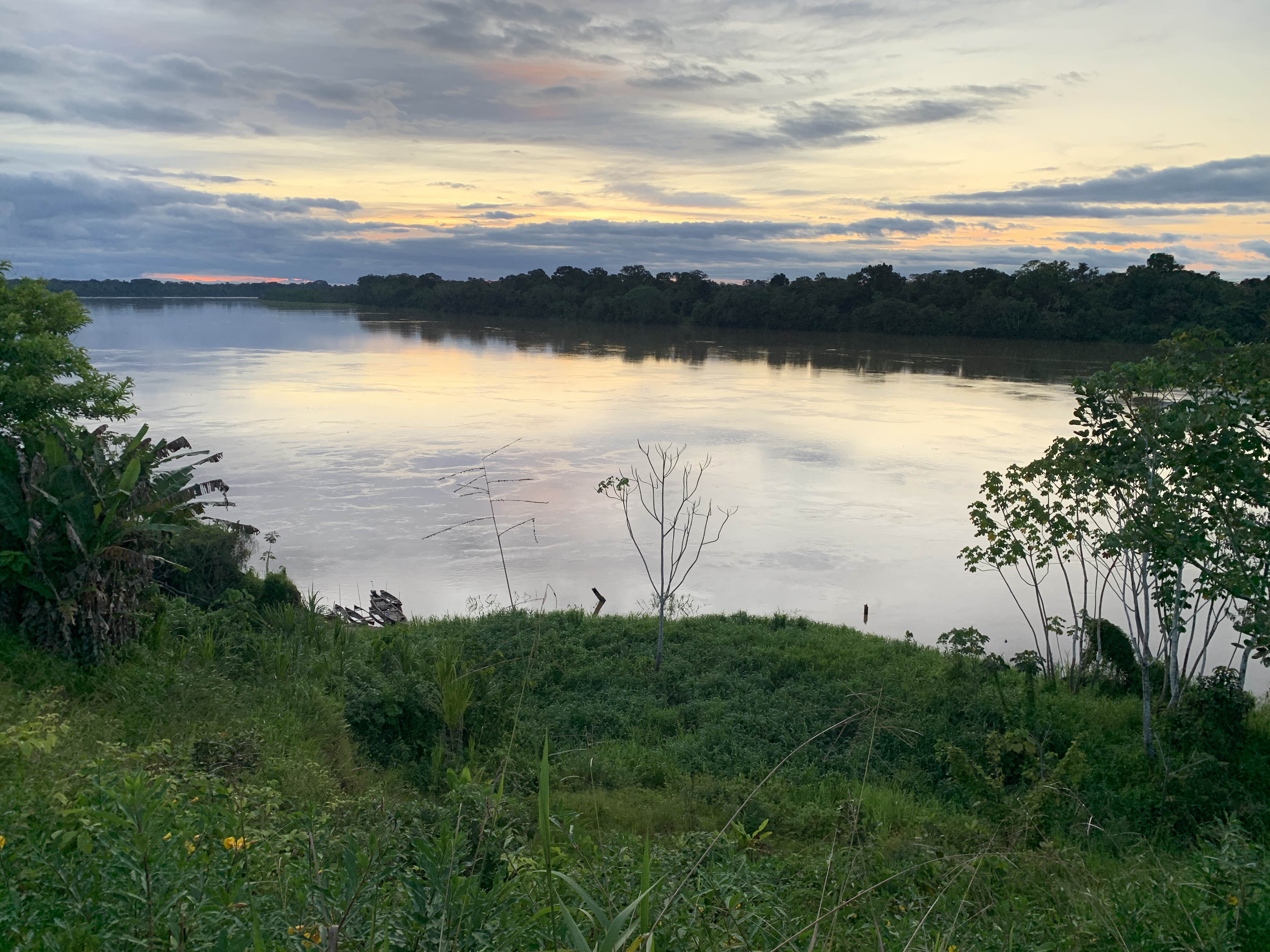
Image credit: Chris Jarrett.