Phase 1: Choosing the LRA Level
LRA levels range from screening-level assessments to more detailed LRA analyses that assess a higher resolution hazard, exposure and vulnerability to calculate risk and determine solutions, and a cost-benefit analysis of those solutions to guide prioritization. Note that the LRA level may change as consultants are on-boarded and help the project team with data and methods.
Landslide Risk Assessment

Will my project be at risk from, or increase the risk of landslides?
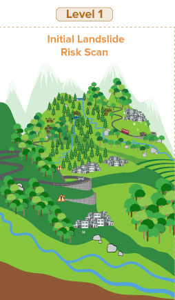
Level 1 LRAs are designed to be relatively data, time and resource light. Global datasets and screening tools may be used, and an external consultant may not be required depending on the skill sets of the Bank team assembled.
Note that screening assessments can identify components of a project that are at risk of landslides, and identify specific areas for more detailed landslide risk assessment and consultations with stakeholders. Screening assessments are not detailed risk assessments and do not provide sufficient information to identify risk reduction methods.
| Options | Cost | Data Req | Expertise Req | Output and Outcome |
|---|---|---|---|---|
| Prior knowledge (of TTL or team) | Free | Prior experience/projects in the area | Low/general | Presence/absence of landslide risk Areas to avoid or to consider for more detailed analysis |
| Global data scan | Low | Globally-available assembled landslide risk datasets/ assessments | Low/general | |
| Stakeholder consultation | Low to high, depending on LOE | Stakeholder consultation | Stakeholder engagement |
What areas have a higher risk of landslides AND overlap with my project footprint or area of impact?
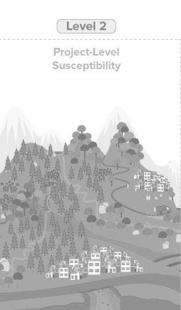
Level 2 LRAs are essentially landslide hazard/susceptibility studies that add susceptibility layers and project-specific risk factors.
| Options | Cost | Data Req | Expertise Req | Output and Outcome |
|---|---|---|---|---|
| Heuristic | Low |
|
Consultant with domain expertise | Relative classification into areas of higher and lower hazard (qualitative, static) |
| Statistical/ data-driven | Med cost for coarse assessment |
|
Predictive model for landslide hazards (quantitative scenario analysis, forecasting) | |
| Conceptual/ physics-based (e.g. Factor of Safety) | Med-high cost | Physical properties | Predictive model for landslide hazards (quantitative scenario analysis) | |
| Physics-based | Med-high cost | Detailed physical properties at the site | Site-specific specific landslide risk assessment and engineering design of protection measures |
How exactly my project impact or be impacted by landslides?
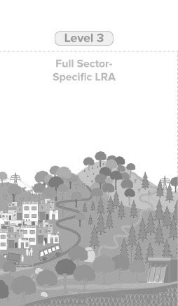
Level 3 LRAs add another level of complexity with sector-specific data on exposure and vulnerability of assets-at-risk and estimate spatially-explicit risk values.
| Options | Cost | Data Req | Expertise Req | Output and Outcome |
|---|---|---|---|---|
| Susceptibility modeling | Medium to high | Physical properties Local knowledge | Consultant with domain expertise | Areas at high risk of landslides overlapping with project area |
| Exposure modeling | Data on people and assets at risk | Spatial location of people and assets at risk of landslides in tde project area | ||
| Vulnerability modeling | Vulnerability factors for people and assets at risk | Vulnerability of people and assets at risk of landslides in the project area | ||
| Risk estimates | Susceptibility, exposure and vulnerability model results | Risk estimates may include number/value of lives lost damage to infrastructure and critical facilities impact to GDP |
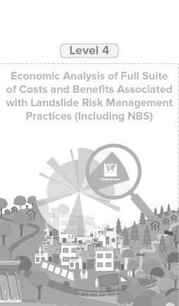
How exactly might my project impact or be impacted by landslides?
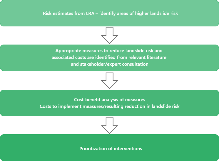
Level 4 LRAs add a final level of complexity by incorporating potential solutions (including NBS) and conducting a cost-benefit analysis of solutions for risk reduction.