ThinkHazard (GFDRR)
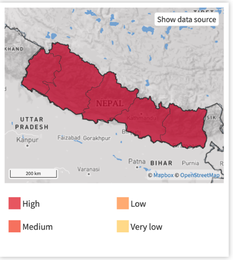
The GFDRR ThinkHazard! Tool provides coarse information on landslide risk at the sub-national level. ThinkHazard! provides a general view of the hazards, for a given location, that should be considered in project design and implementation to promote disaster and climate resilience. The tool highlights the likelihood of different natural hazards affecting project areas (very low, low, medium and high), provides guidance on how to reduce the impact of these hazards, and where to find more information. The hazard levels provided are based on published hazard data, provided by a range of private, academic and public organizations. The data source (global data) used for landslide risk is: LS- GLOBAL-GAR13 by UNISDR ( https://www.geonode-gfdrrlab.org/layers/hazard %3Aunisdr_combined_reclass ); this dataset combines two GAR13 rasters to produce an estimate of the annual frequency of landslides triggered by precipitation and earthquakes.
The original datasets depend on the combination of trigger and susceptibility defined by six parameters: slope factor, lithological (or geological) conditions, soil moisture condition, vegetation cover, precipitation and seismic conditions. Preprocessing has been undertaken to classify these estimates into a Hazard Classification (1= Very Low, 2= Low, 3= Medium, 4=High). This product was designed by International Centre for Geohazards /NGI for the Global Assessment Report on Risk Reduction (GAR).


ThinkHazard tool
ThinkHazard Example: Nepal
